South Fork Stanislaus River Trail (4N90)
Total Miles
5.1
Technical Rating
Best Time
Spring, Summer, Fall
Trail Type
Full-Width Road
Accessible By
Trail Overview
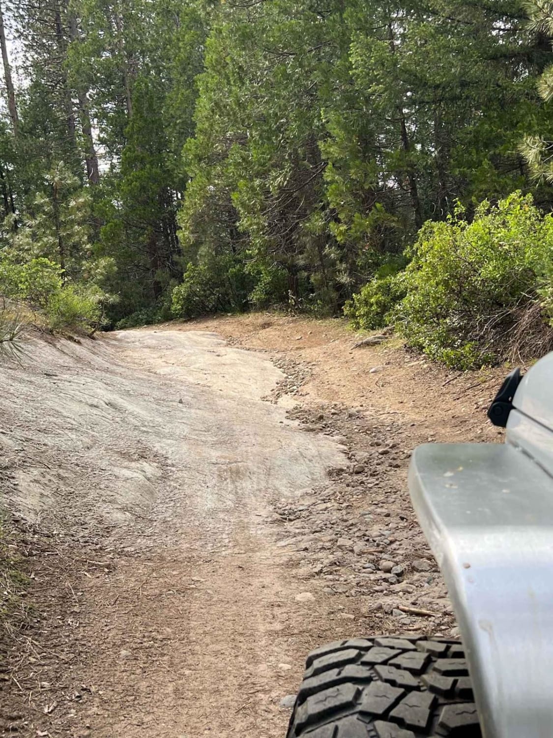
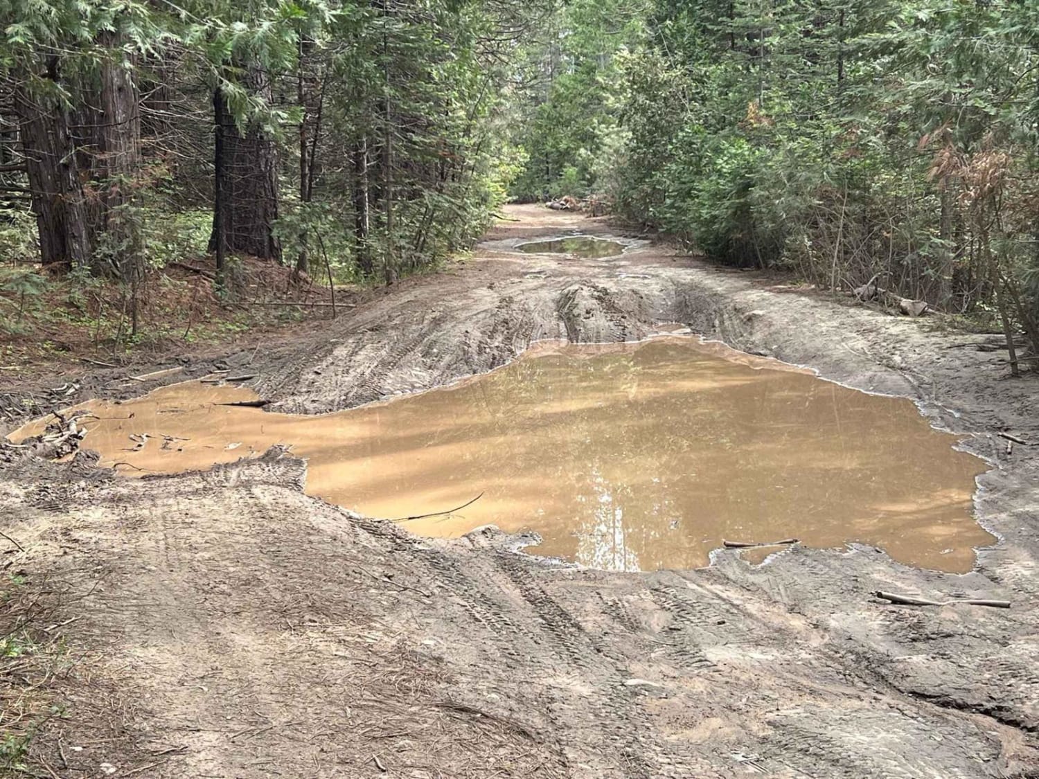
This trail is a great spot to retreat for the weekend. The trail follows the South Fork of the Stanislaus from 4N01 (Frasier Flat) to the inlet of Lyons Reservoir. You can no longer get all the way to the reservoir as it has been gated off, so this is an in-and-back-out trail. The trail is sometimes muddy and has a few rough spots that can be done by an experienced driver in a 4x4 vehicle with no problem. Just about every right turn off of the main trail leads to a camping spot near the river, and there are tons of beautiful spots to enjoy. Pack it in, pack it out.
Photos of South Fork Stanislaus River Trail (4N90)
Difficulty
In spring and early summer, there are usually some mud holes throughout the trail but they can usually be avoided. There are some rocky sections and spots with holes where articulation is key, but the trail all in all is not a difficult trail. This is not an OHV trail.
History
Sugar Pine Rail Road grade
Status Reports
South Fork Stanislaus River Trail (4N90) can be accessed by the following ride types:
- High-Clearance 4x4
- SUV
South Fork Stanislaus River Trail (4N90) Map
Popular Trails

Mountain Top - FS 9S040A
Pumice Valley - FS1N36

Spruce Creek - FS 16
BLM LA2 Highway 178 South
The onX Offroad Difference
onX Offroad combines trail photos, descriptions, difficulty ratings, width restrictions, seasonality, and more in a user-friendly interface. Available on all devices, with offline access and full compatibility with CarPlay and Android Auto. Discover what you’re missing today!