Off-Road Trails in California
Discover off-road trails in California
Learn more about Clark's Grade - FS 1N54
Clark's Grade - FS 1N54
Total Miles
7.3
Tech Rating
Easy
Best Time
Spring, Summer, Fall
Learn more about Clavey Crossing to Bourland Meadow
Clavey Crossing to Bourland Meadow
Total Miles
6.5
Tech Rating
Moderate
Best Time
Spring, Fall, Summer
Learn more about Clawhammer
Clawhammer
Total Miles
0.8
Tech Rating
Difficult
Best Time
Spring, Summer, Fall, Winter
Learn more about Claypit Cutoff - FS 3S07
Claypit Cutoff - FS 3S07
Total Miles
3.3
Tech Rating
Easy
Best Time
Fall, Summer, Spring
Learn more about Cleghorn CA-15 Overlook
Cleghorn CA-15 Overlook
Total Miles
1.5
Tech Rating
Easy
Best Time
Spring, Summer, Fall, Winter
Learn more about Cleghorn Ridge
Cleghorn Ridge
Total Miles
13.9
Tech Rating
Moderate
Best Time
Spring, Summer, Fall
Learn more about Cleghorn Ridge Entry
Cleghorn Ridge Entry
Total Miles
0.8
Tech Rating
Easy
Best Time
Spring, Summer, Fall, Winter
Learn more about Cleghorn ROTW Access - FS 3N44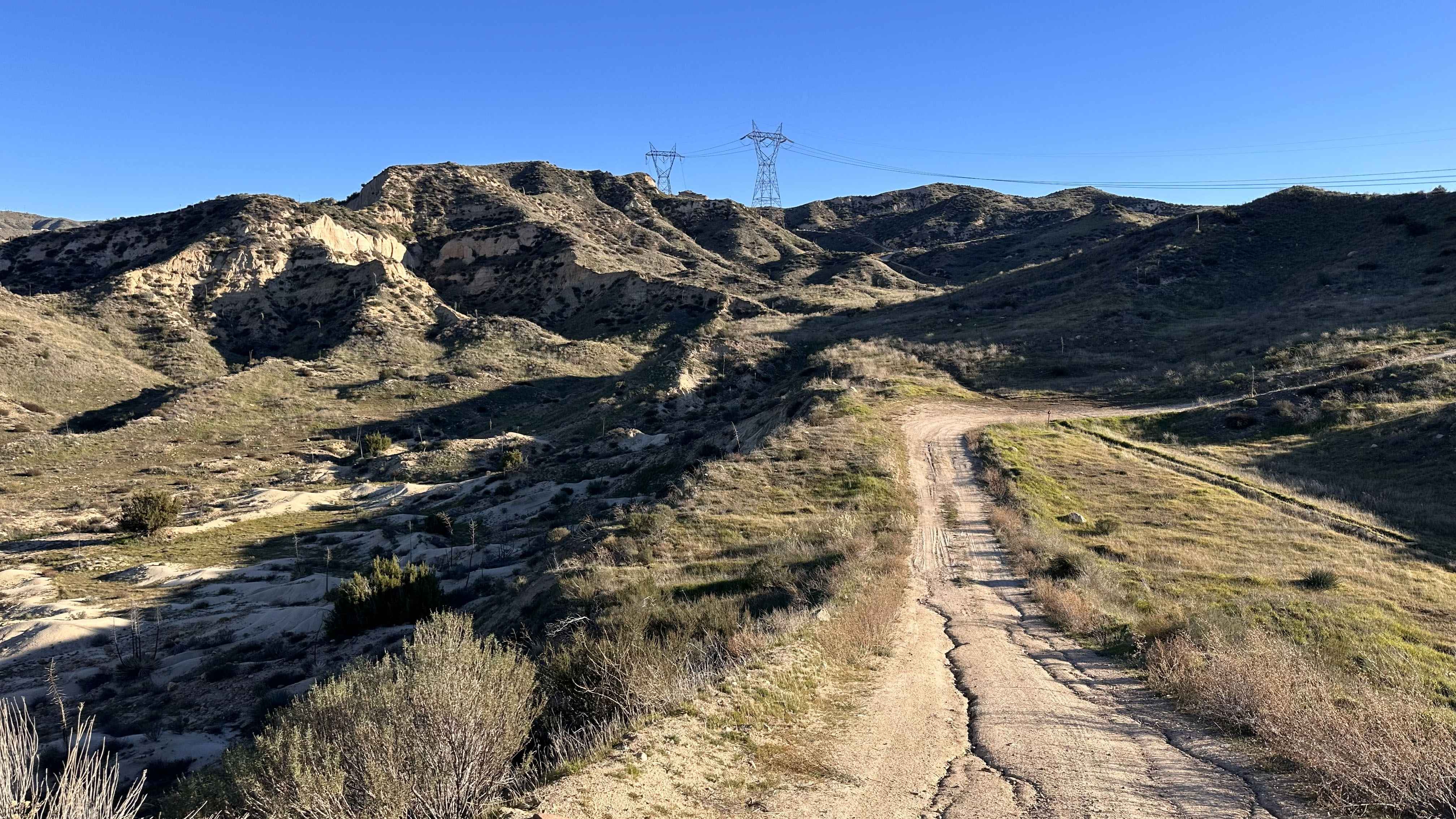
Cleghorn ROTW Access - FS 3N44
Total Miles
2.0
Tech Rating
Easy
Best Time
Spring, Summer, Fall, Winter
Learn more about Cleghorn Technical Access Road
Cleghorn Technical Access Road
Total Miles
2.2
Tech Rating
Difficult
Best Time
Summer, Spring, Winter
Learn more about Cleghorn Tracks
Cleghorn Tracks
Total Miles
2.3
Tech Rating
Moderate
Best Time
Spring, Summer, Fall, Winter
Learn more about Clover Meadow - FS 5S005
Clover Meadow - FS 5S005
Total Miles
2.4
Tech Rating
Easy
Best Time
Summer, Fall
Learn more about Clover Meadow Cutoff - FS 5S053Y
Clover Meadow Cutoff - FS 5S053Y
Total Miles
1.6
Tech Rating
Easy
Best Time
Summer, Fall
Learn more about Coachwhip Canyon
Coachwhip Canyon
Total Miles
1.3
Tech Rating
Easy
Best Time
Winter, Fall, Spring
Learn more about Coarse Gold Road 5N24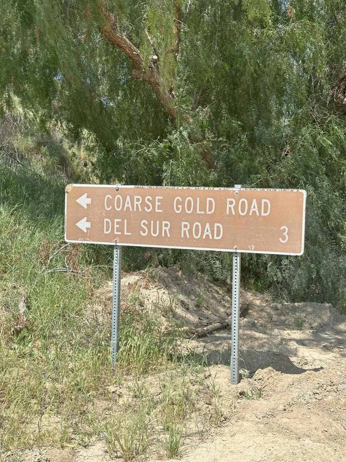
Coarse Gold Road 5N24
Total Miles
2.1
Tech Rating
Moderate
Best Time
Spring, Summer, Fall
Learn more about Coffee Creek Road
Coffee Creek Road
Total Miles
1.0
Tech Rating
Easy
Best Time
Fall, Summer, Spring
Learn more about Connector Drop Route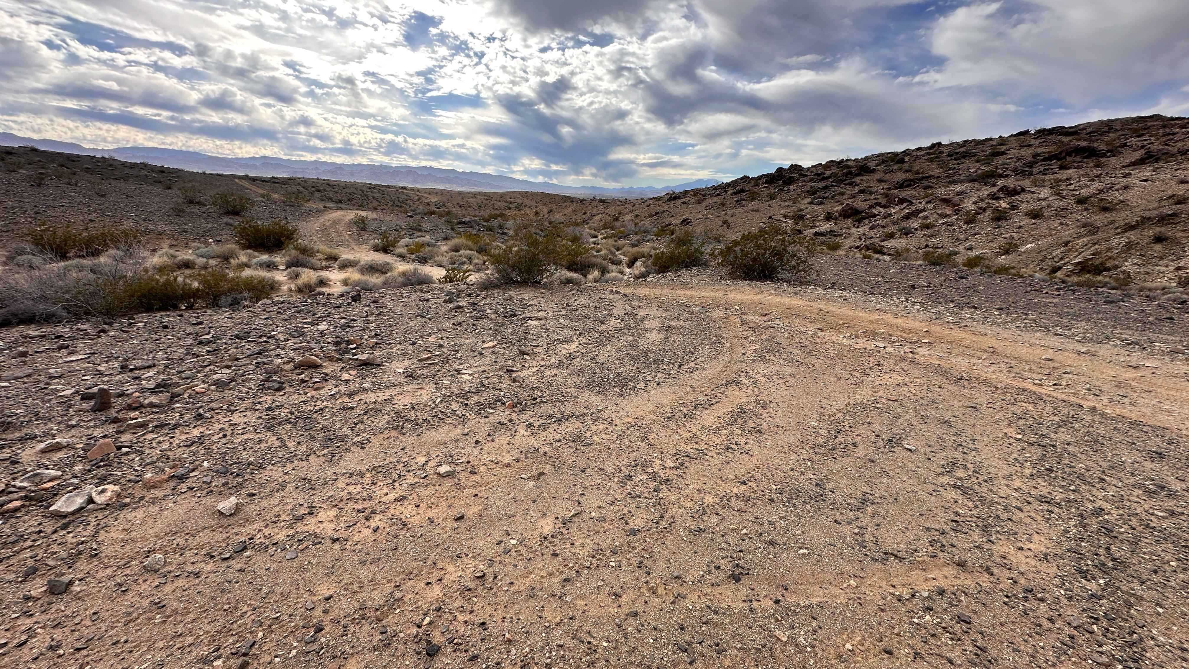
Connector Drop Route
Total Miles
0.4
Tech Rating
Difficult
Best Time
Spring, Summer, Fall, Winter
ATV trails in California


UTV/side-by-side trails in California


Learn more about 3N267 Fenner Saddle (4N12)
3N267 Fenner Saddle (4N12)
Total Miles
3.8
Tech Rating
Difficult
Best Time
Spring, Summer, Fall, Winter

The onX Offroad Difference
onX Offroad combines trail photos, descriptions, difficulty ratings, width restrictions, seasonality, and more in a user-friendly interface. Available on all devices, with offline access and full compatibility with CarPlay and Android Auto. Discover what you’re missing today!