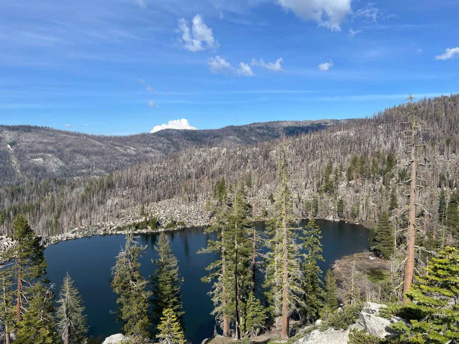
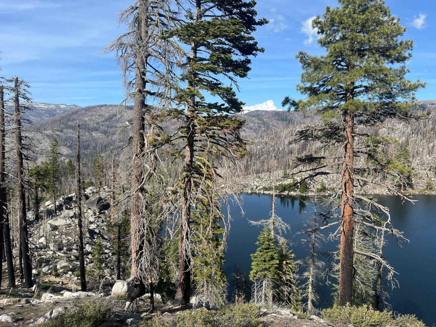
Cody Lake
Total Miles
1.8
Technical Rating
Best Time
Summer
Trail Type
Full-Width Road
Accessible By
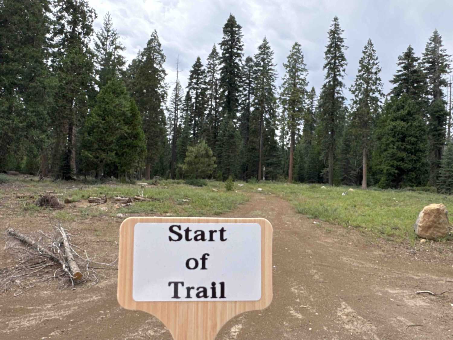
Trail Overview
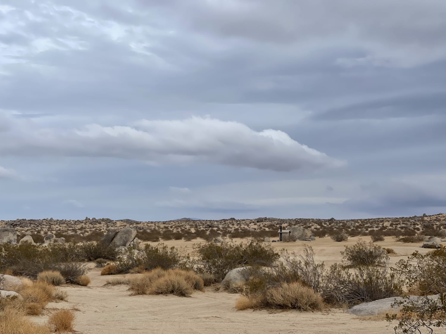
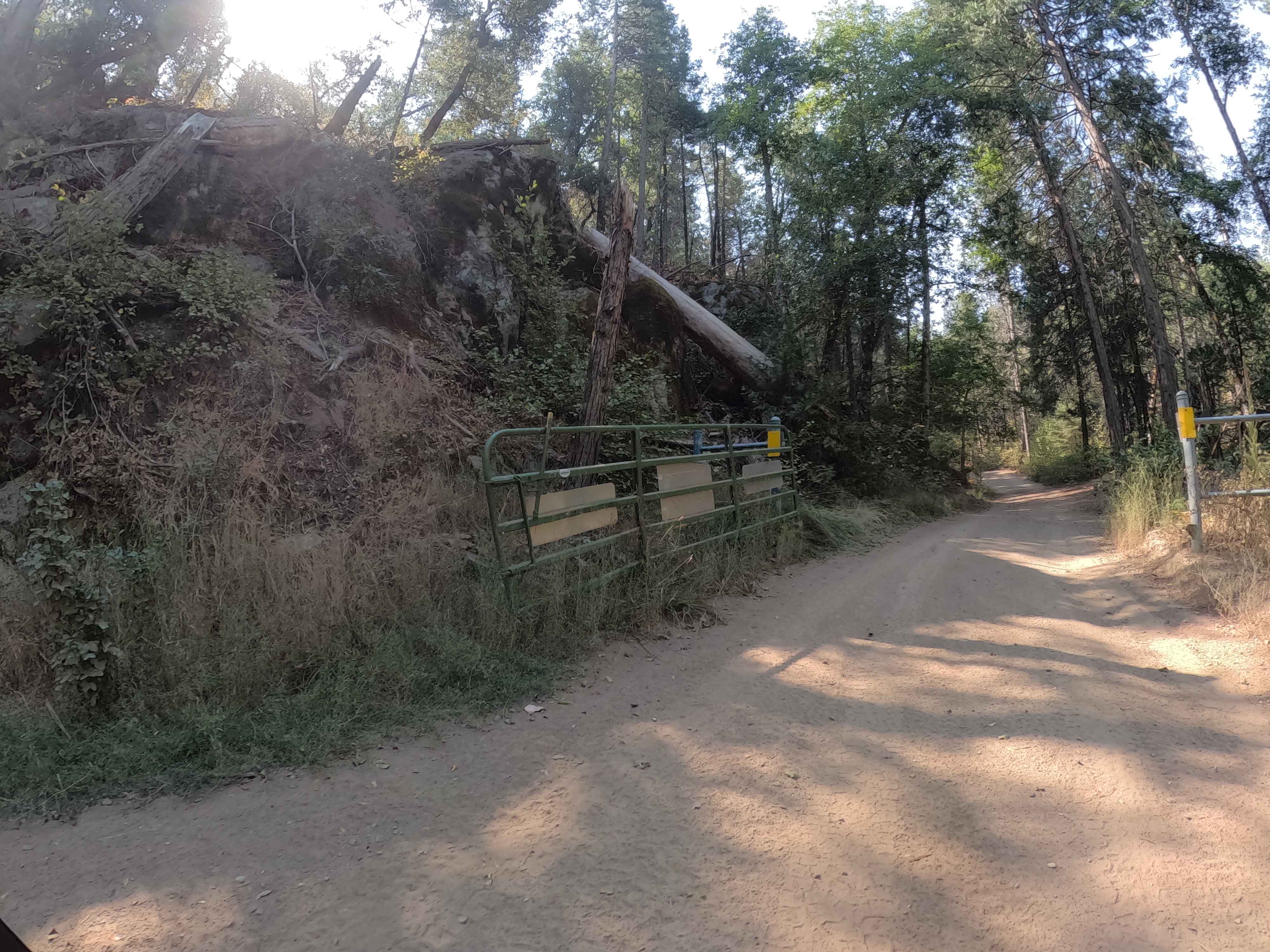
Cody Lake trail is a short out/back jaunt to a high alpine Sierra Nevada lake that is remote and beautiful. The trail ends overlooking the lake and requires a very steep hiking descent to reach the shore. The trail is easy, but towards the end by the lake, it becomes quite narrow, which can make turning around difficult. This general area was burned by the Caldor fire a few years ago, so viewing the new succession of plant life is interesting. Occasionally, deadfall crosses the road, so a chainsaw can come in handy.
Photos of Cody Lake
Difficulty
There are no difficult obstacles on this trail, some mild washouts and potential deadfall to deal with.
Cody Lake can be accessed by the following ride types:
- High-Clearance 4x4
- SUV
- SxS (60")
- ATV (50")
- Dirt Bike
Cody Lake Map
Popular Trails
Bear Spring - FS 96-034-02
Trail 5 (11E31)
To the Edge and Back
Ponderosa Fire Line - Lower - FS 6S017
The onX Offroad Difference
onX Offroad combines trail photos, descriptions, difficulty ratings, width restrictions, seasonality, and more in a user-friendly interface. Available on all devices, with offline access and full compatibility with CarPlay and Android Auto. Discover what you’re missing today!