Clark's Grade - FS 1N54
Total Miles
7.3
Technical Rating
Best Time
Spring, Summer, Fall
Trail Type
Full-Width Road
Accessible By
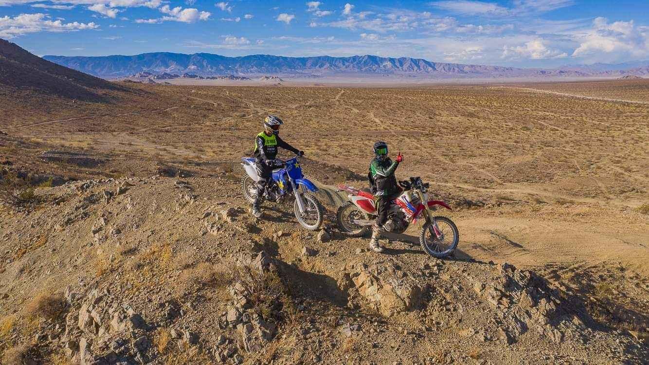
Trail Overview
Clarks Grade is an off-road trail in the San Bernardino National Forest. Driving this trail is a journey back to the origins of the Big Bear Lake area since this was one of the first roads into Big Bear. It is a narrow shelf road for most of the way, with few spots to pass. The trail starts down at the Santa Ana River and climbs up the side of the mountain to Big Bear Lake passing through multiple ecosystems ranging from the lushness of the canyon bottom to the semi-aridness of mesquite, sage, and scrub oak. Finally, towards the end, you reach groves of conifer and an open-air ridgeline.
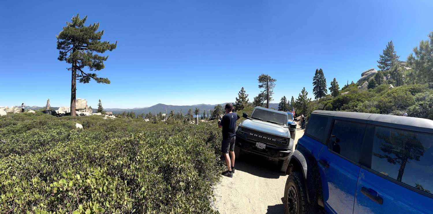
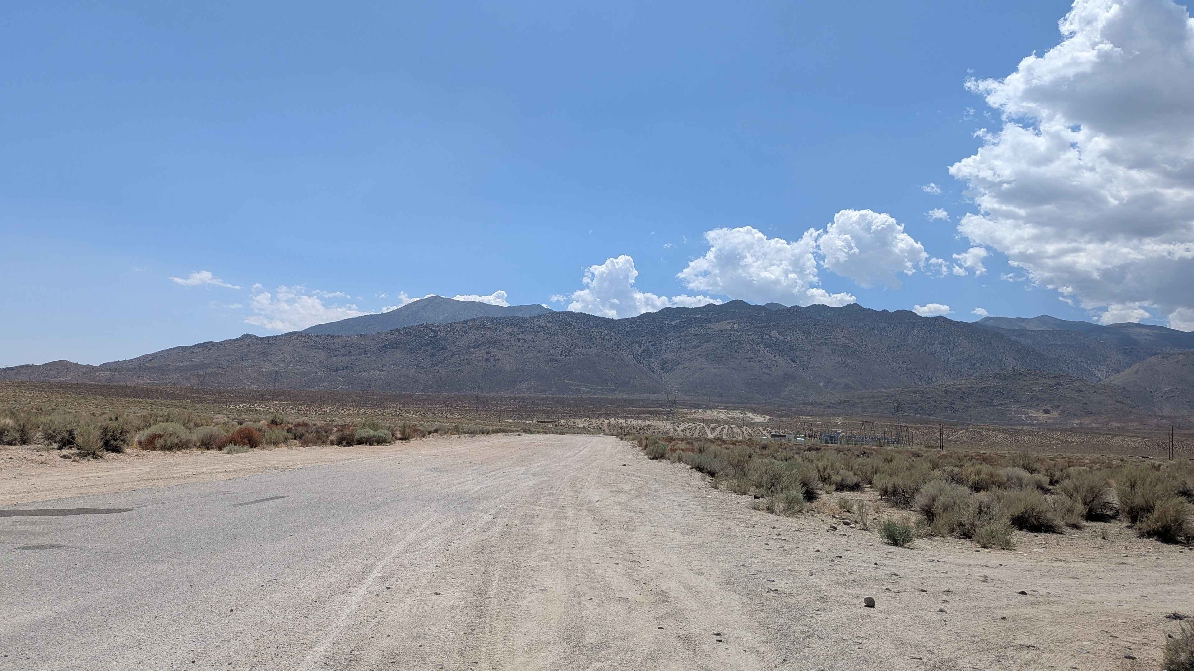
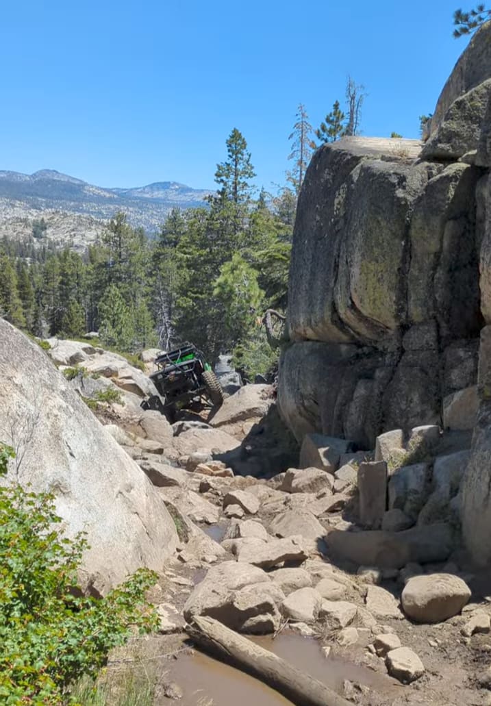
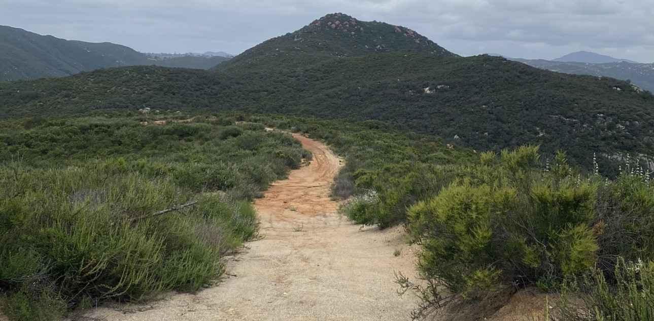
Photos of Clark's Grade - FS 1N54

Difficulty
This trail is mainly a rutted dirt road. There are no significant obstacles, but it is very narrow in some areas and care needs to be taken. There is little room to pass another vehicle and there are a couple of off-camber spots that aren't difficult but care should be taken. You can also find some rocks that have fallen down the hill onto the trail that might make it even more narrow. This trip will be very tight for full-sized vehicles but we were able to get a Ford Bronco Raptor, which is pretty wide, through.
History
FS 1N54 - Clark's Grade was originally a toll road leading into the Big Bear area. In 1899, Gus Knight who owned the Bear Valley Inn, one of the first hotels in the Big Bear Lake area, joined forces with a group of Redlands businessmen and formed the Bear Valley and Redlands Toll Road Company. They began construction on a new road which started in Redlands and went up the Santa Ana Canyon through the Hiram Clark ranch. It then became switchbacks up the steep mountain behind Snow Summit and entered Big Bear Valley just west of Big Bear Village. The road eventually became known as Clark's Grade. Clark's Grade was strictly a one-lane road, and to avoid bottlenecks and accidents, a timing system was established that regulated the uphill and downhill traffic. A vehicle was only allowed a certain amount of time for uphill travel, then it was required to pull over and wait for a few hours while the downhill traffic went by. For many years, the only way you could travel through the San Bernardino Mountains was on a series of privately owned, poorly maintained, interconnected toll roads. But in 1915, everything changed. Tourism in the San Bernardino mountains in the early 1900's, was rapidly gaining in popularity. It was also beginning to generate serious income for San Bernardino merchants. So in 1910, San Bernardino County decided to build a highway through the mountains. They first purchased Knights Bear Valley Toll Road, and other toll roads in the mountains, including the one at Clark's Grade. They connected them all together and then set about making major improvements. By 1915, the work was finished and the county had a new public highway that ran from San Bernardino up through Lake Arrowhead, over to Big Bear Lake, and then back down to Redlands. It was called the "Rim of the World Highway". It was a vast improvement over the old system of toll roads, and the effect of this new highway on the growth of Big Bear was nothing short of phenomenal. But this road was problematic, especially in the wintertime since it was still a narrow dirt road that was prone to washouts and being blocked by snow in the winter. So, in 1924 the County built a new road, which we see today, and traffic on Clark's Grade came to a halt.
Status Reports
Clark's Grade - FS 1N54 can be accessed by the following ride types:
- High-Clearance 4x4
- SUV
- SxS (60")
- ATV (50")
- Dirt Bike
Clark's Grade - FS 1N54 Map
Popular Trails
Coyote Valley Road
11S03 Lusardi Truck Trail
North Barstow to The Husky Memorial
The onX Offroad Difference
onX Offroad combines trail photos, descriptions, difficulty ratings, width restrictions, seasonality, and more in a user-friendly interface. Available on all devices, with offline access and full compatibility with CarPlay and Android Auto. Discover what you’re missing today!