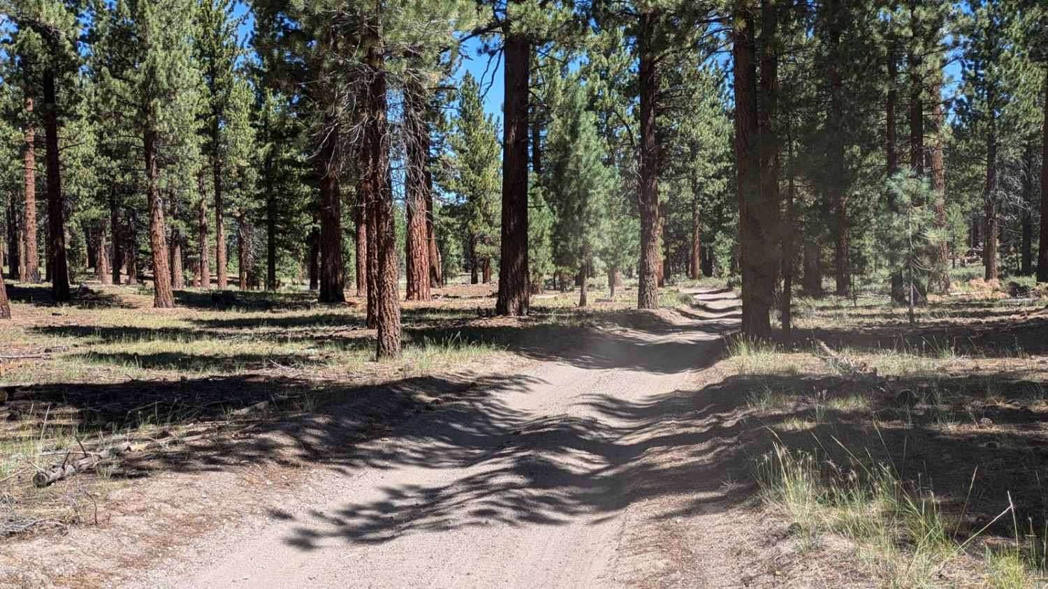
Off-Road Trails in California
Discover off-road trails in California
Learn more about Crofts Follie Trail
Crofts Follie Trail
Total Miles
7.0
Tech Rating
Easy
Best Time
Spring, Summer, Fall
Learn more about Crooked Creek Loop
Crooked Creek Loop
Total Miles
24.5
Tech Rating
Moderate
Best Time
Spring, Summer, Fall
Learn more about Crooked Meadow Road East
Crooked Meadow Road East
Total Miles
12.7
Tech Rating
Easy
Best Time
Fall, Summer
Learn more about Crooked Meadow Road West
Crooked Meadow Road West
Total Miles
5.3
Tech Rating
Easy
Best Time
Summer, Fall, Spring
Learn more about Cross Over Trail
Cross Over Trail
Total Miles
6.7
Tech Rating
Easy
Best Time
Spring, Summer, Fall, Winter
Learn more about Crowley Lake Eastside - FS 4245
Crowley Lake Eastside - FS 4245
Total Miles
4.7
Tech Rating
Easy
Best Time
Fall, Summer, Spring
Learn more about Crystal Peak Mine Loop
Crystal Peak Mine Loop
Total Miles
27.6
Tech Rating
Easy
Best Time
Summer, Fall
Learn more about Cut Across Trail
Cut Across Trail
Total Miles
8.1
Tech Rating
Easy
Best Time
Spring, Fall, Winter, Summer
Learn more about Darwin Canyon
Darwin Canyon
Total Miles
12.3
Tech Rating
Easy
Best Time
Spring, Summer, Fall, Winter
Learn more about Davis Loop - FS 26S13/26S30
Davis Loop - FS 26S13/26S30
Total Miles
1.7
Tech Rating
Easy
Best Time
Fall, Summer, Spring
Learn more about Deadman Creek Road FS32E03-SNO
Deadman Creek Road FS32E03-SNO
Total Miles
6.1
Tech Rating
Easy
Best Time
Fall, Summer
Learn more about Deadman Loop FS2S25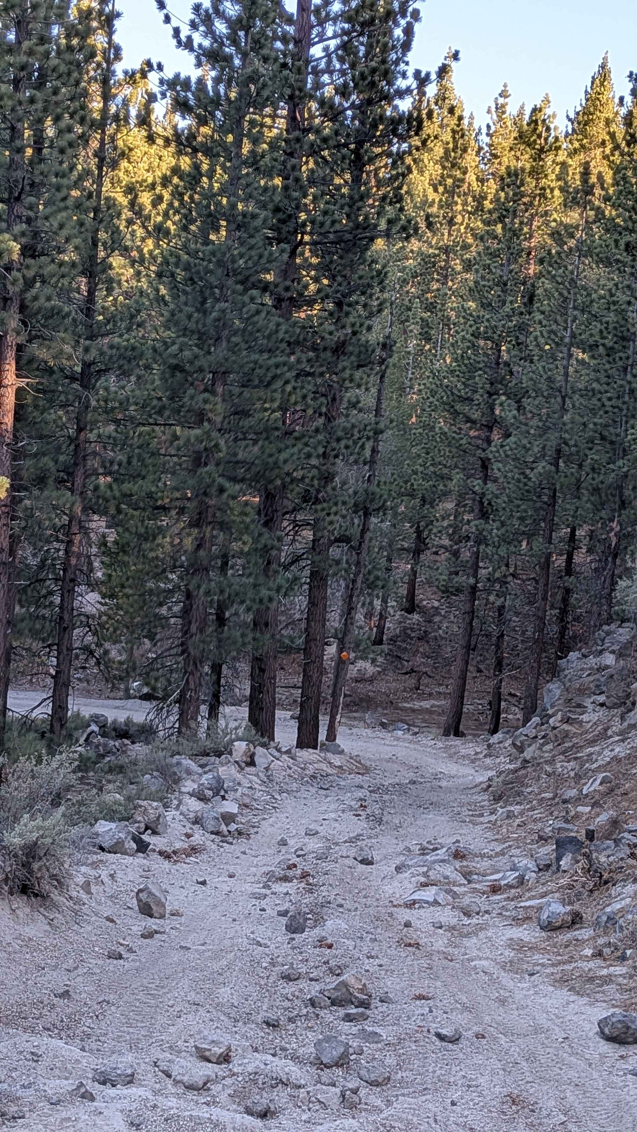
Deadman Loop FS2S25
Total Miles
2.8
Tech Rating
Easy
Best Time
Summer, Fall
Learn more about Deadwood - FS 23S09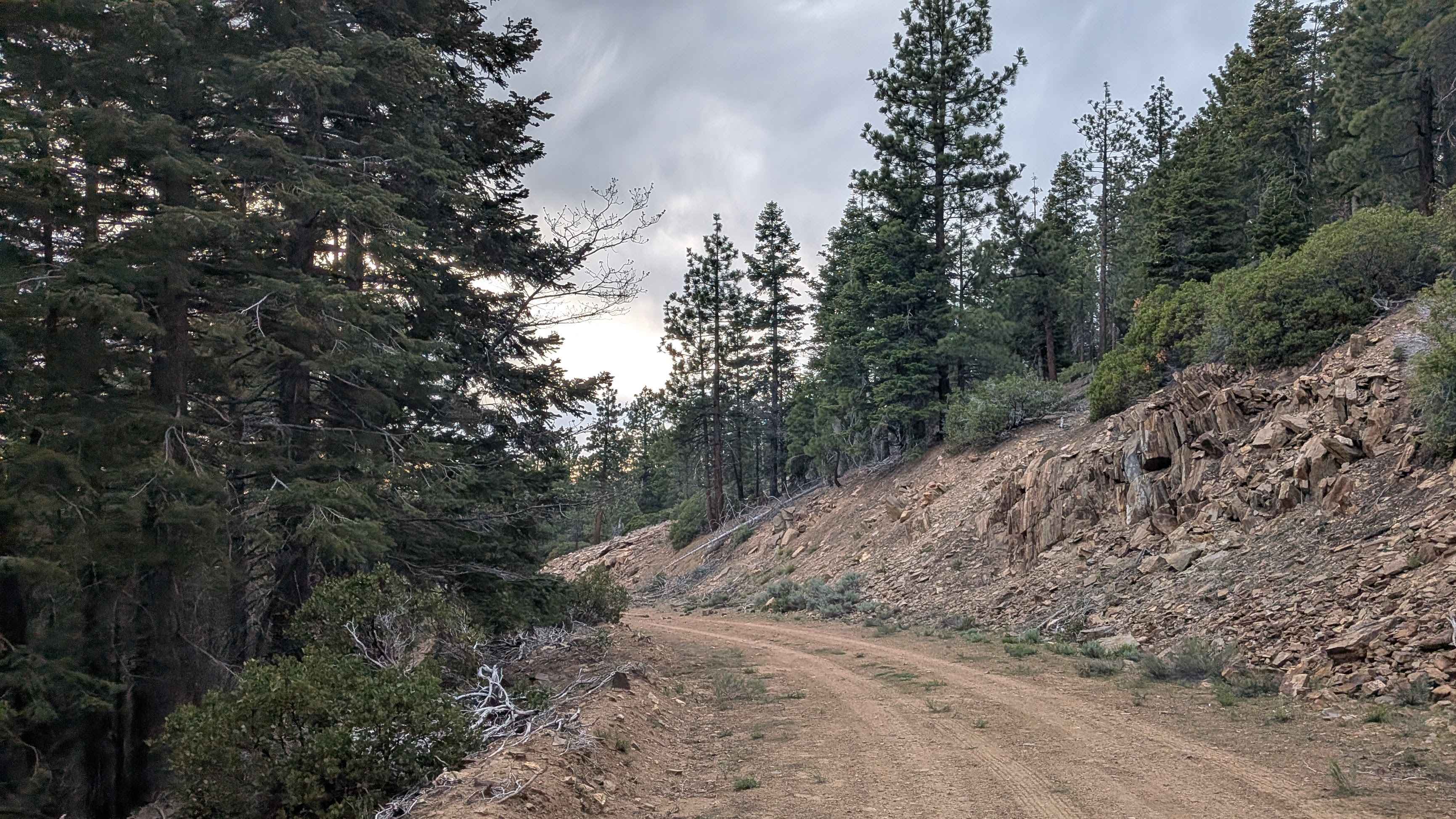
Deadwood - FS 23S09
Total Miles
1.1
Tech Rating
Easy
Best Time
Summer, Spring, Fall
Learn more about Death Valley/Big Pine Road East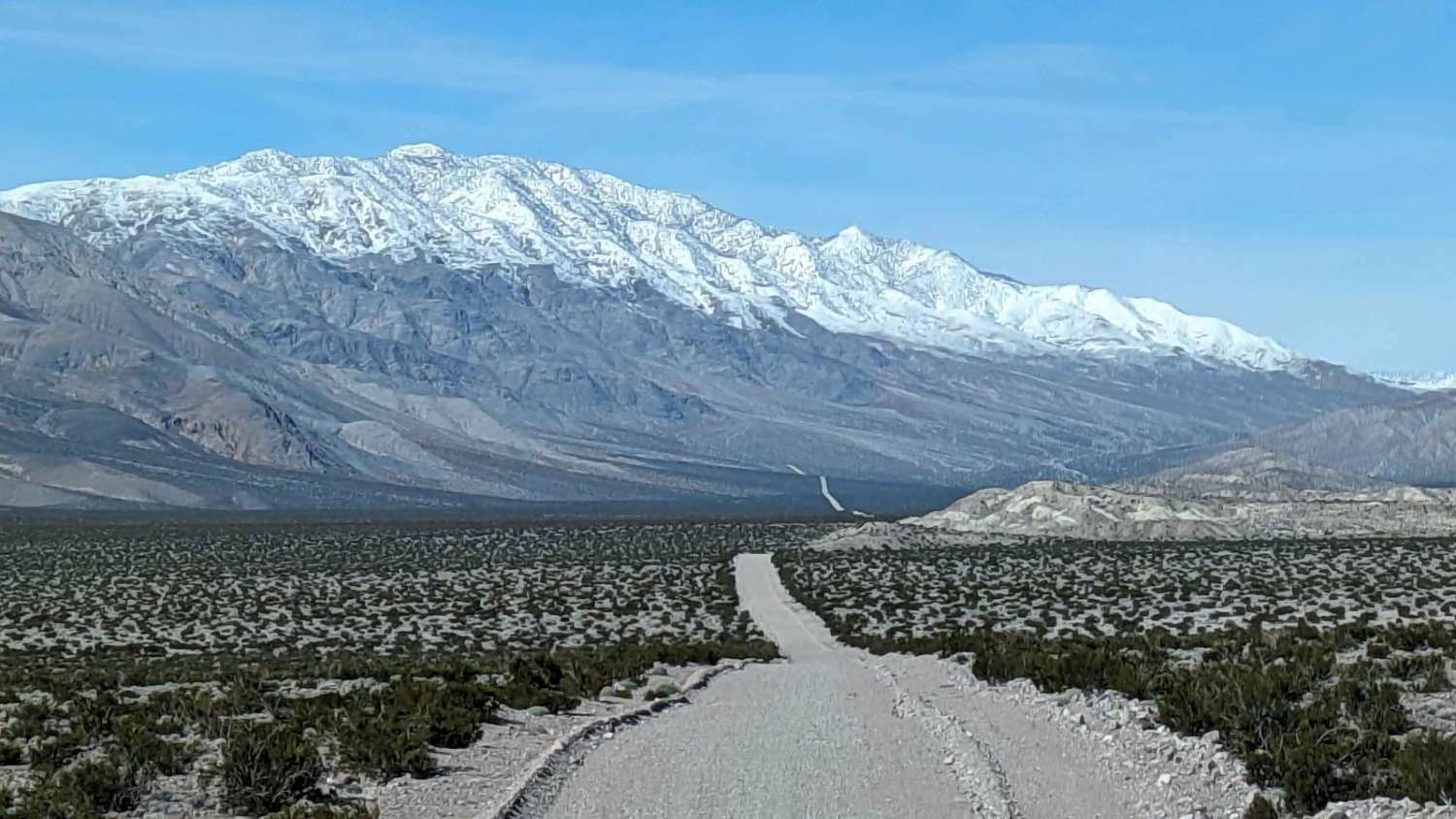
Death Valley/Big Pine Road East
Total Miles
20.9
Tech Rating
Easy
Best Time
Spring, Summer, Fall
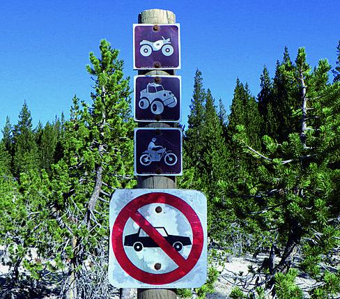
ATV trails in California


UTV/side-by-side trails in California


Learn more about 3N267 Fenner Saddle (4N12)
3N267 Fenner Saddle (4N12)
Total Miles
3.8
Tech Rating
Difficult
Best Time
Spring, Summer, Fall, Winter

The onX Offroad Difference
onX Offroad combines trail photos, descriptions, difficulty ratings, width restrictions, seasonality, and more in a user-friendly interface. Available on all devices, with offline access and full compatibility with CarPlay and Android Auto. Discover what you’re missing today!