Deadman Creek Road FS32E03-SNO
Total Miles
6.1
Technical Rating
Best Time
Fall, Summer
Trail Type
Full-Width Road
Accessible By
Trail Overview
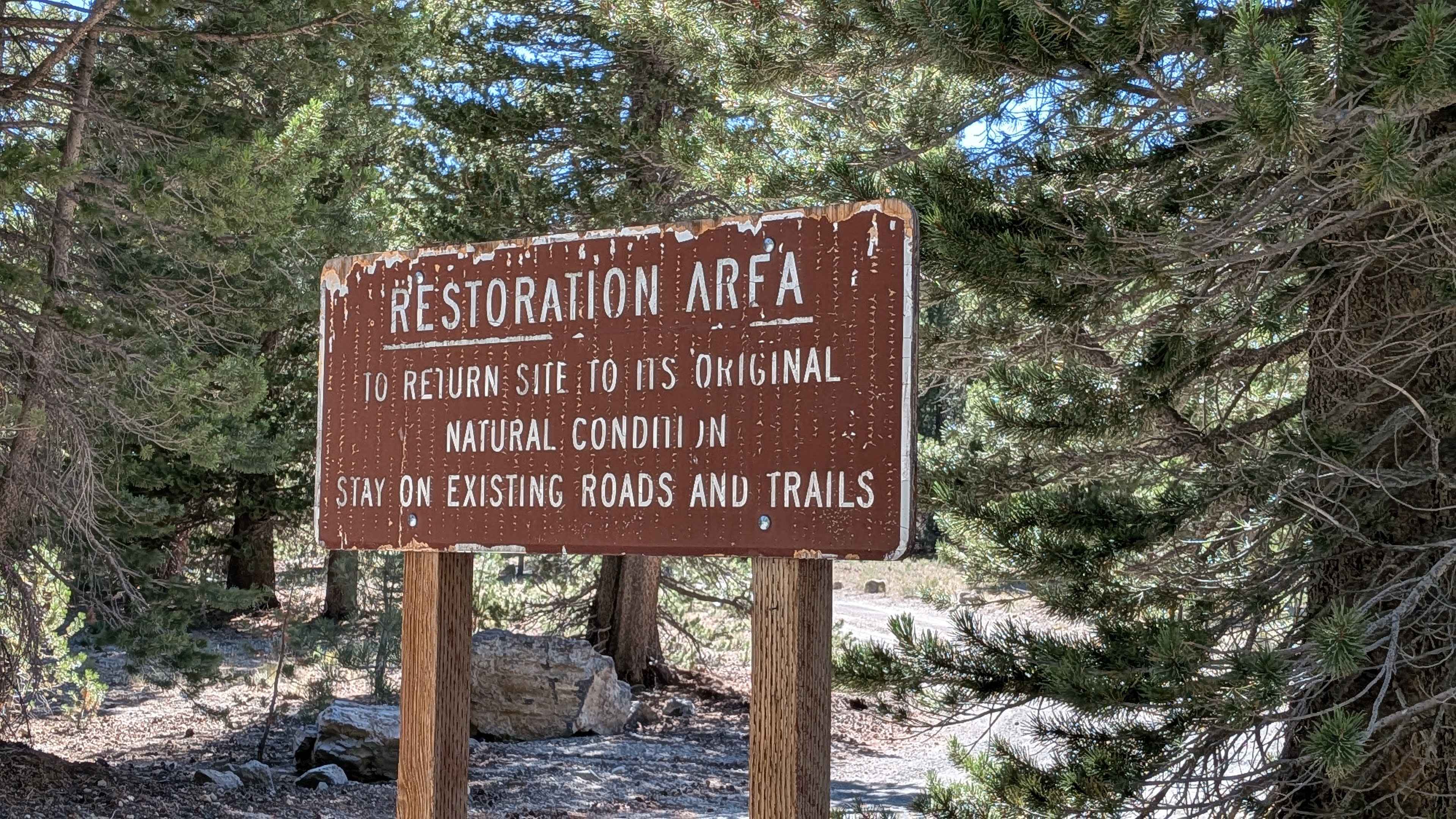
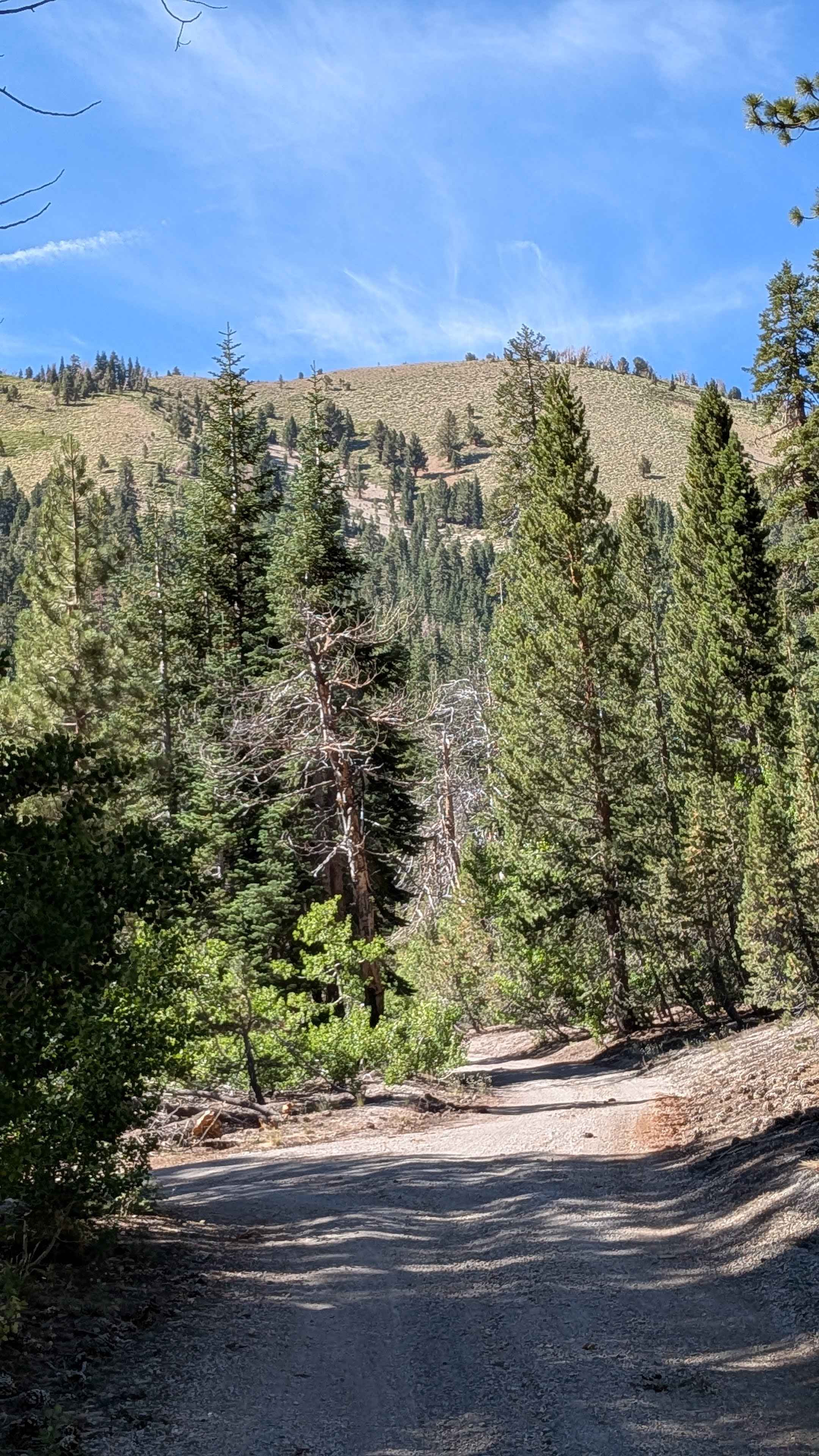
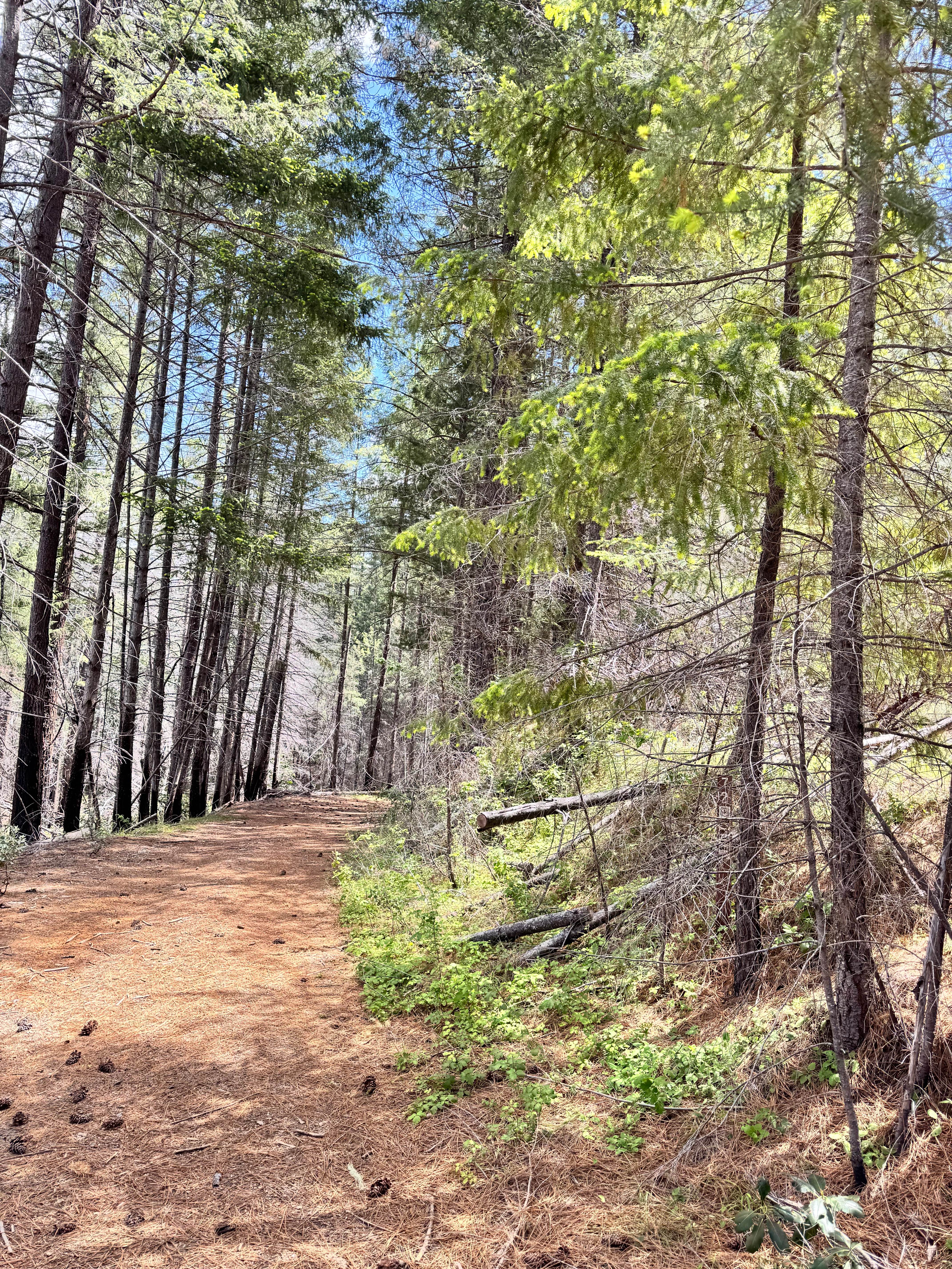
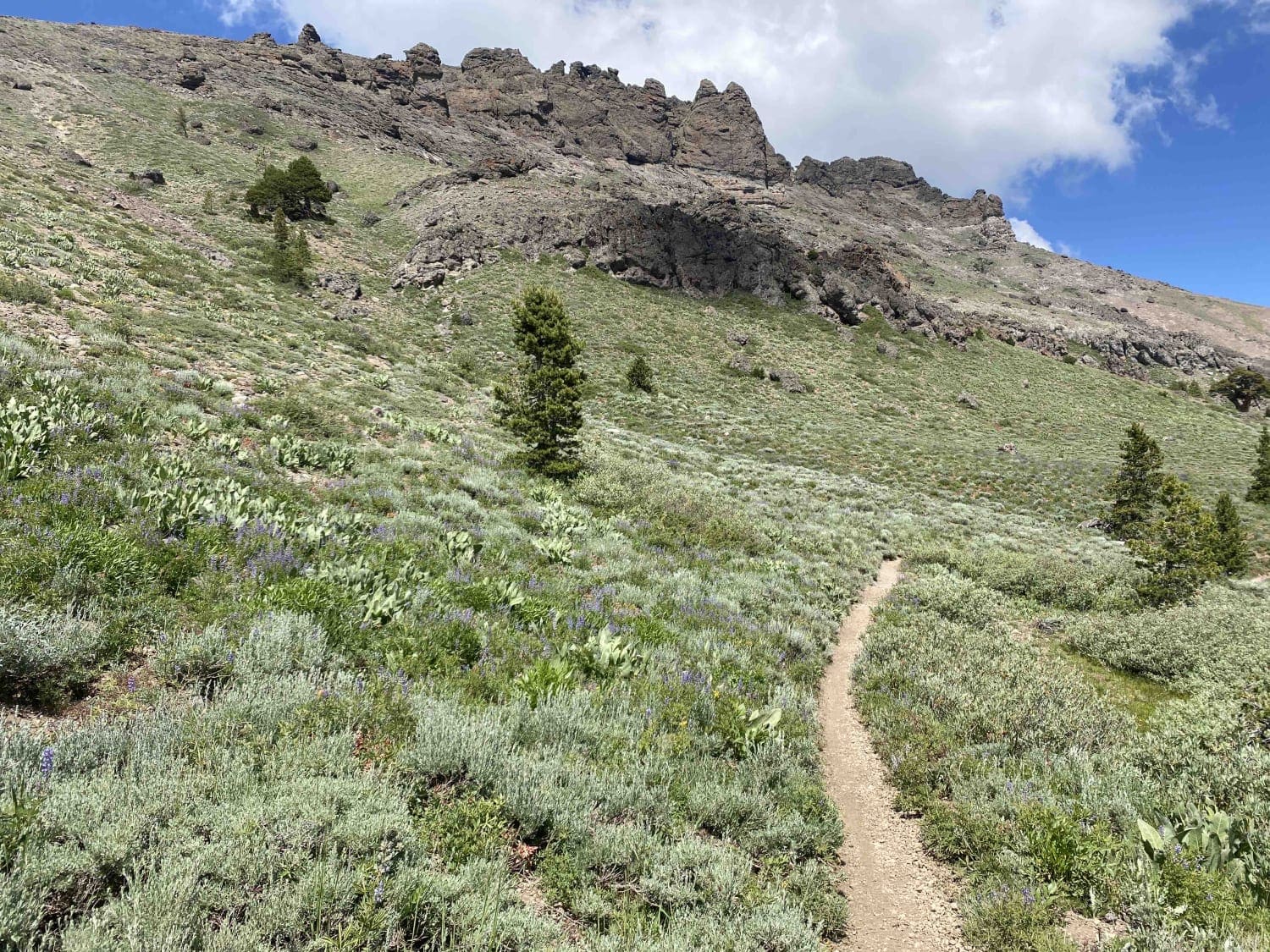
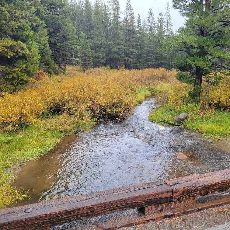
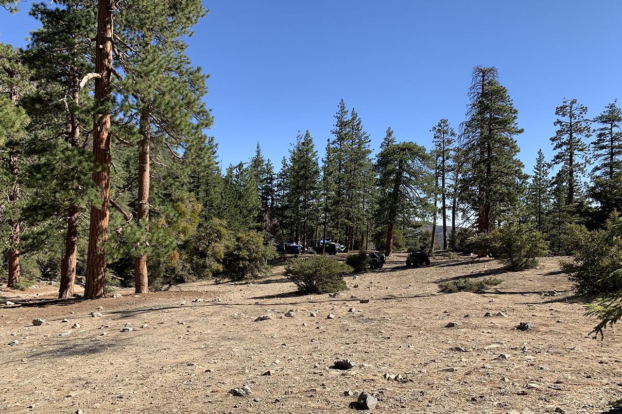
This sandy and pumice trail is just over one and a half vehicles wide and winds through a beautiful pine forest. Starting at Highway 395 near an open meadow, it slowly climbs almost 800 feet and passes near lower Deadman Campground, upper Deadman Campground, and a group campground (some of which closed). Check with your local ranger office for updates. The last two miles enter a more covered forest area with softer pumice and sand and fewer rocks. There are some short shelf road sections near the beginning and end, so caution is advised. The trail lies north of Deadman Dome, south of White Wing Dome, and south and east of Chicken Wing Dome. Many spur trails branch off here, offering plenty of opportunities to explore the scenic Deadman Flats and Crestview Plantation areas. This is a 12-mile "in and out" trail with various side trails if you want to explore more.
Photos of Deadman Creek Road FS32E03-SNO
Difficulty
The trail features mostly sandy and pumice terrain with some ruts and short shelf road sections requiring cautious driving. It's suitable for stock but high-clearance vehicles and 4x4s are recommended.
Status Reports
Deadman Creek Road FS32E03-SNO can be accessed by the following ride types:
- High-Clearance 4x4
- SUV
- SxS (60")
- ATV (50")
- Dirt Bike
Deadman Creek Road FS32E03-SNO Map
Popular Trails
Enterprise - FS 17N72
Horse Canyon Trail 17E21
Forestdale Road
3N06A Cold Water Canyon
The onX Offroad Difference
onX Offroad combines trail photos, descriptions, difficulty ratings, width restrictions, seasonality, and more in a user-friendly interface. Available on all devices, with offline access and full compatibility with CarPlay and Android Auto. Discover what you’re missing today!