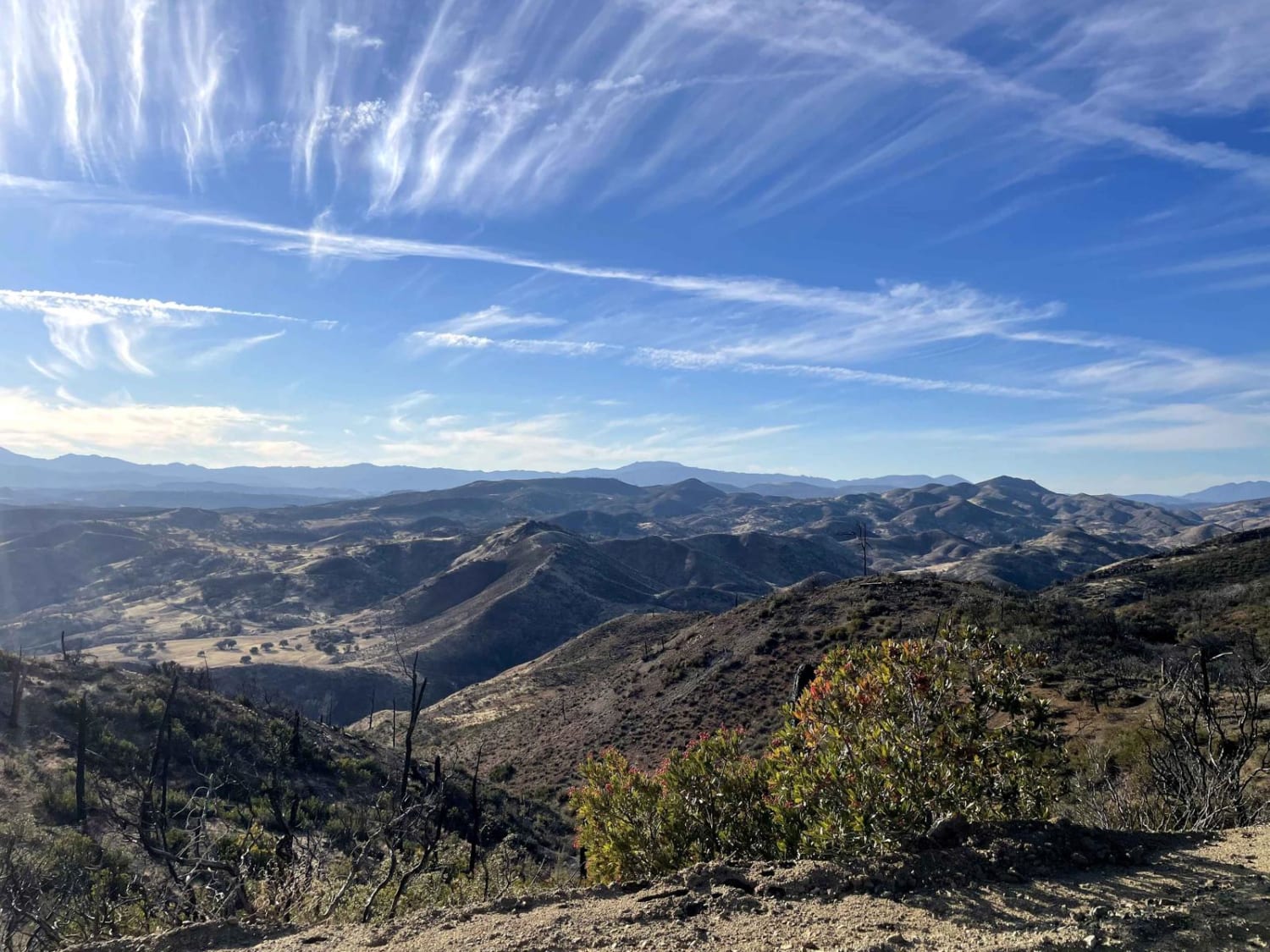
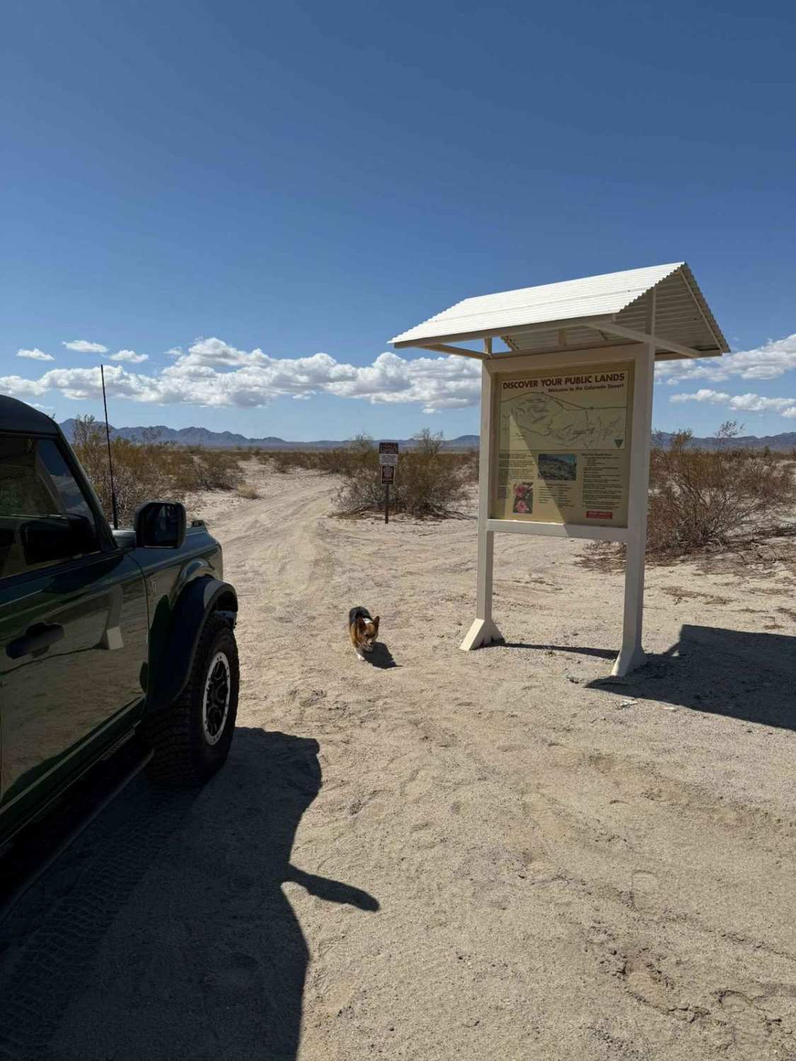
Off-Road Trails in California
Discover off-road trails in California
Learn more about Dove Springs Canyon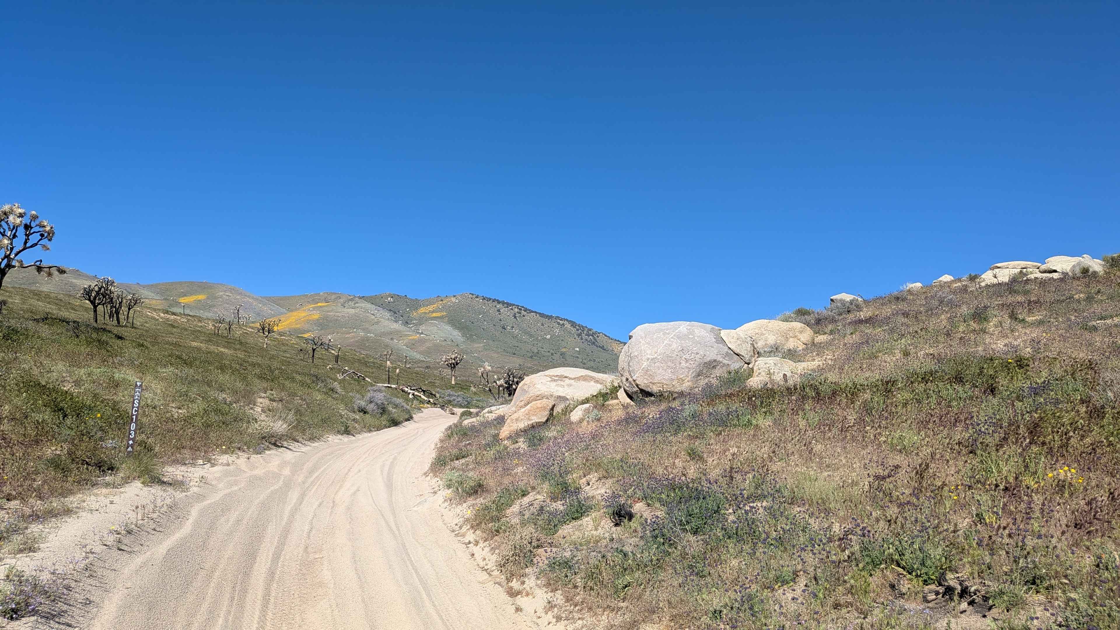
Dove Springs Canyon
Total Miles
7.0
Tech Rating
Moderate
Best Time
Summer, Fall
Learn more about Dove Springs Canyon Rd BLM SC103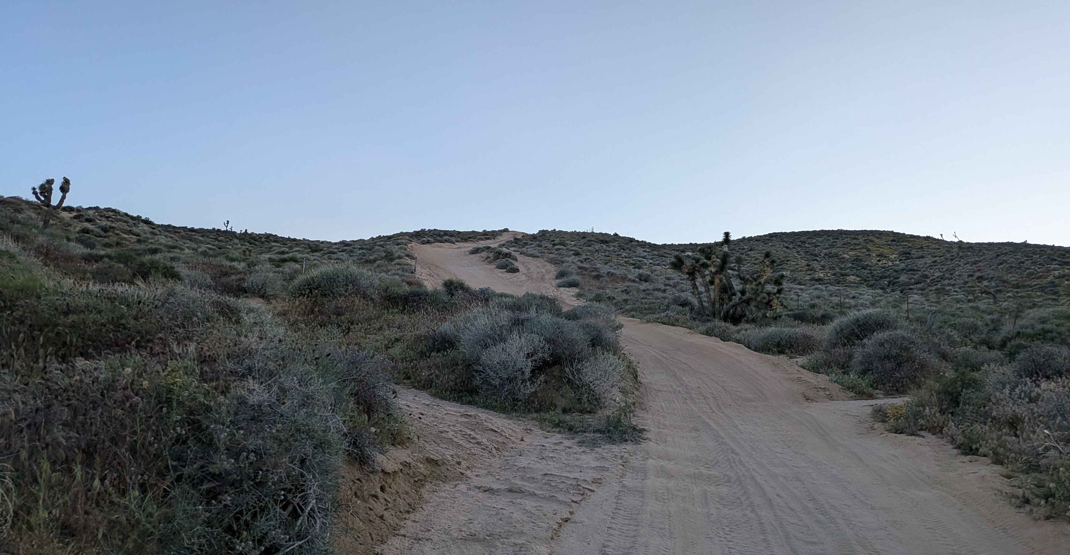
Dove Springs Canyon Rd BLM SC103
Total Miles
2.8
Tech Rating
Easy
Best Time
Fall, Summer, Spring
Learn more about Dove Springs Canyon Road
Dove Springs Canyon Road
Total Miles
6.6
Tech Rating
Easy
Best Time
Spring, Fall, Winter
Learn more about Drinkwater Trail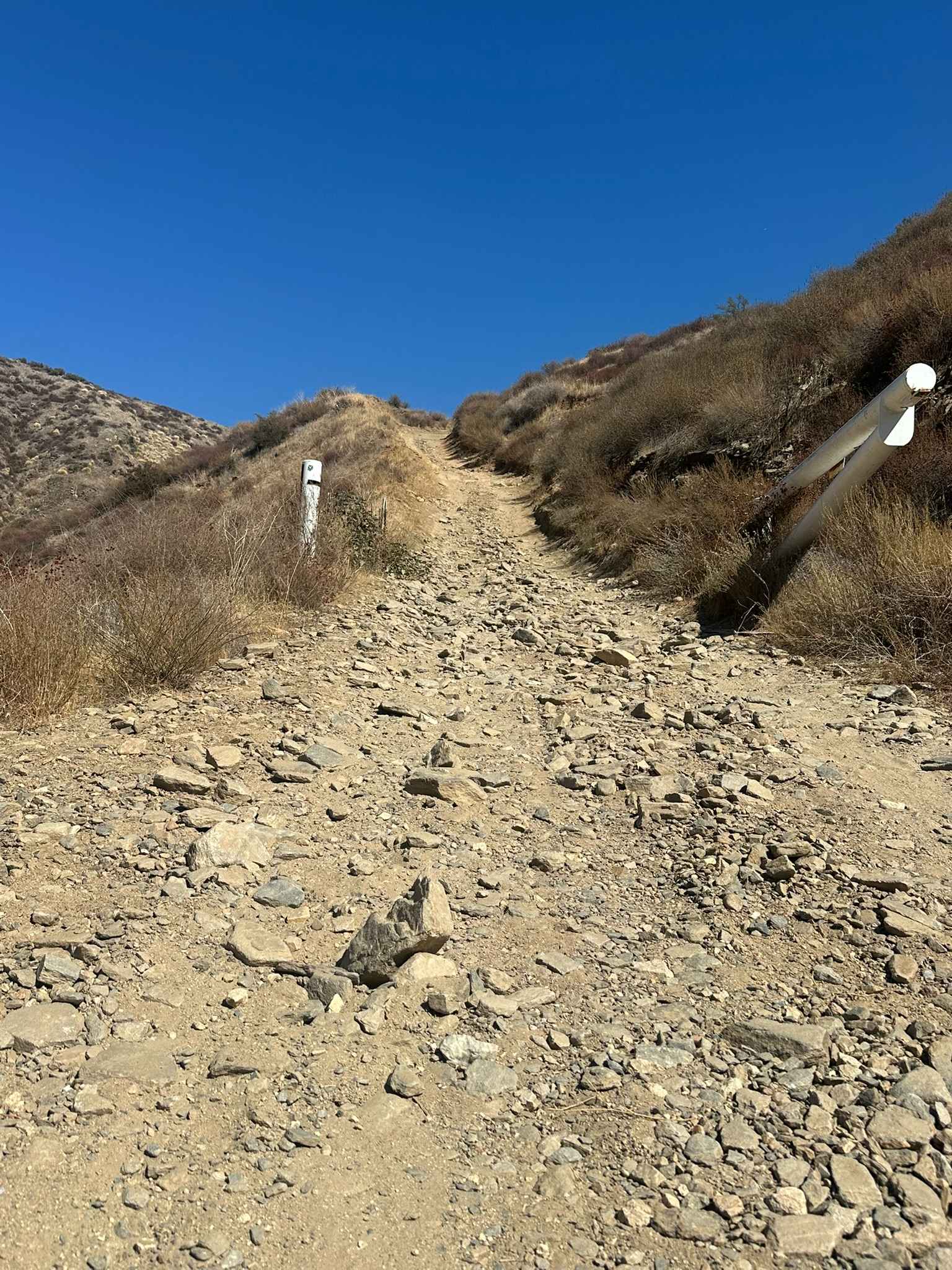
Drinkwater Trail
Total Miles
4.1
Tech Rating
Moderate
Best Time
Spring, Summer, Fall, Winter
Learn more about Dry Creek Cutoff FS 32E628-SNO
Dry Creek Cutoff FS 32E628-SNO
Total Miles
2.4
Tech Rating
Easy
Best Time
Summer, Fall
Learn more about Dry Creek Flats Upper - FS3S89
Dry Creek Flats Upper - FS3S89
Total Miles
3.2
Tech Rating
Easy
Best Time
Fall, Summer
Learn more about Dry Creek Gulch (28E210)
Dry Creek Gulch (28E210)
Total Miles
1.6
Tech Rating
Easy
Best Time
Fall, Summer, Spring
Learn more about Dry Creek Knoll
Dry Creek Knoll
Total Miles
1.2
Tech Rating
Easy
Best Time
Summer, Spring, Fall
Learn more about Dry Creek Knoll Side Spur - 3S110B
Dry Creek Knoll Side Spur - 3S110B
Total Miles
0.3
Tech Rating
Easy
Best Time
Spring, Summer, Fall
Learn more about Dry Creek Road - FS3S22
Dry Creek Road - FS3S22
Total Miles
3.8
Tech Rating
Easy
Best Time
Summer, Fall
Learn more about Dry Wash Trail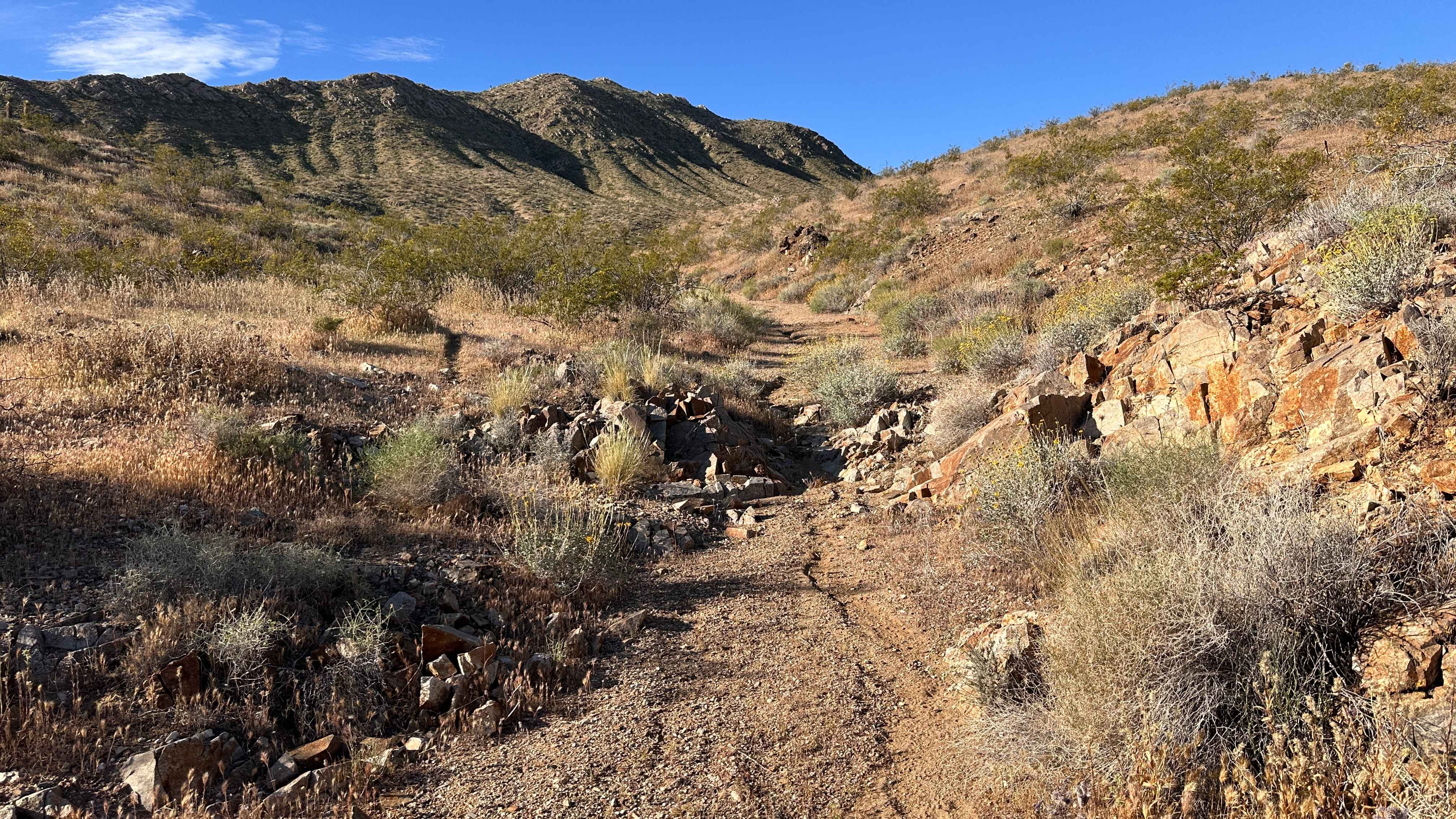
Dry Wash Trail
Total Miles
0.9
Tech Rating
Difficult
Best Time
Spring, Summer, Winter, Fall
Learn more about Dumont Dunes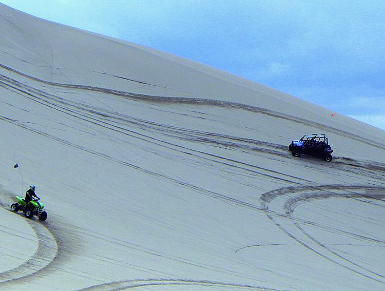
Dumont Dunes
Total Miles
3.9
Tech Rating
Moderate
Best Time
Fall, Winter, Spring
Learn more about Dump Wash Lateral
Dump Wash Lateral
Total Miles
2.9
Tech Rating
Easy
Best Time
Winter, Fall, Spring
Learn more about Dunderberg Meadows
Dunderberg Meadows
Total Miles
11.9
Tech Rating
Easy
Best Time
Spring, Summer, Fall
Learn more about Dunderburg Mill
Dunderburg Mill
Total Miles
12.2
Tech Rating
Easy
Best Time
Summer, Fall, Spring
Learn more about Dunes Vista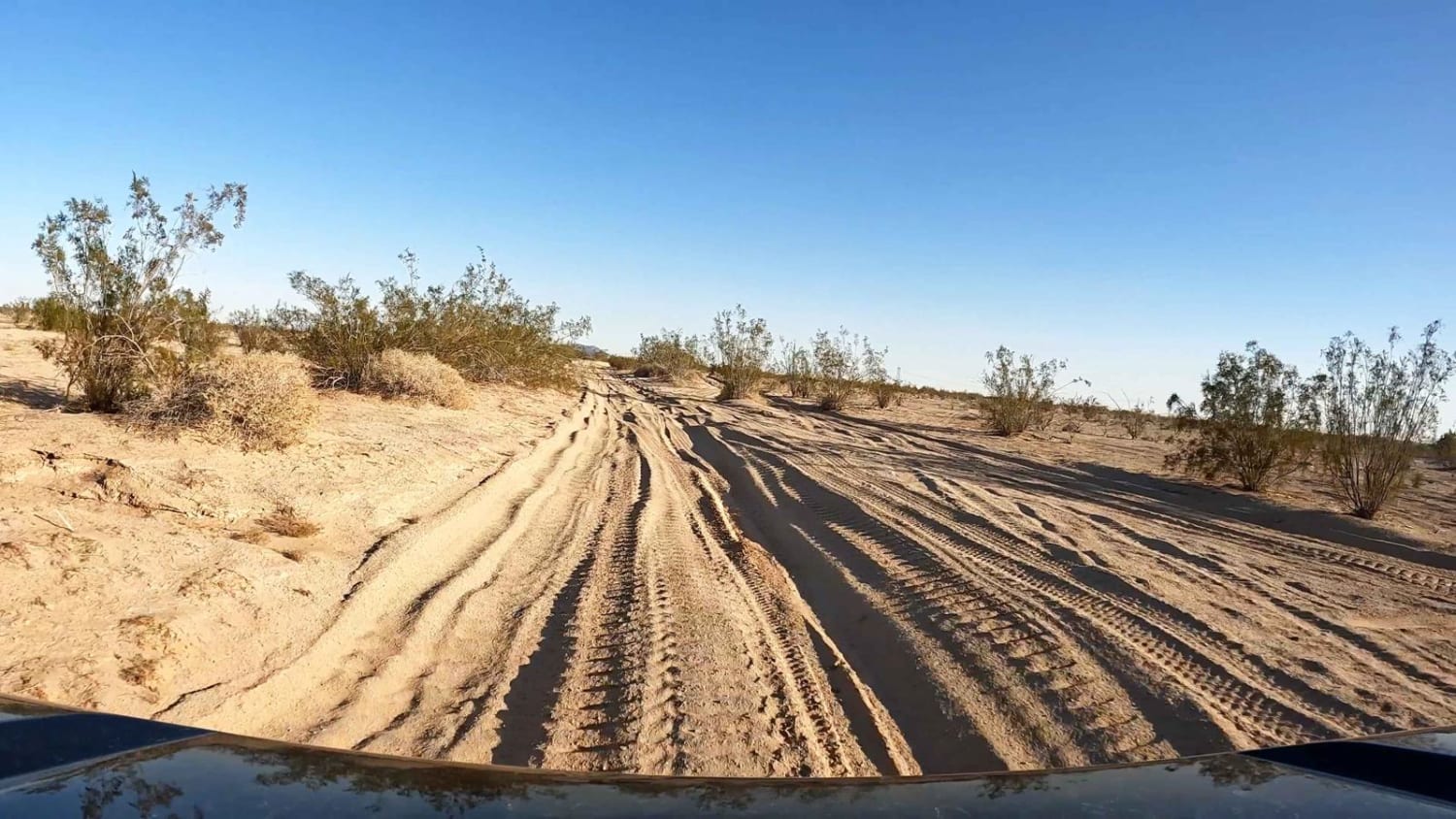
Dunes Vista
Total Miles
6.4
Tech Rating
Moderate
Best Time
Spring, Fall, Winter
Learn more about Dust Devil Trail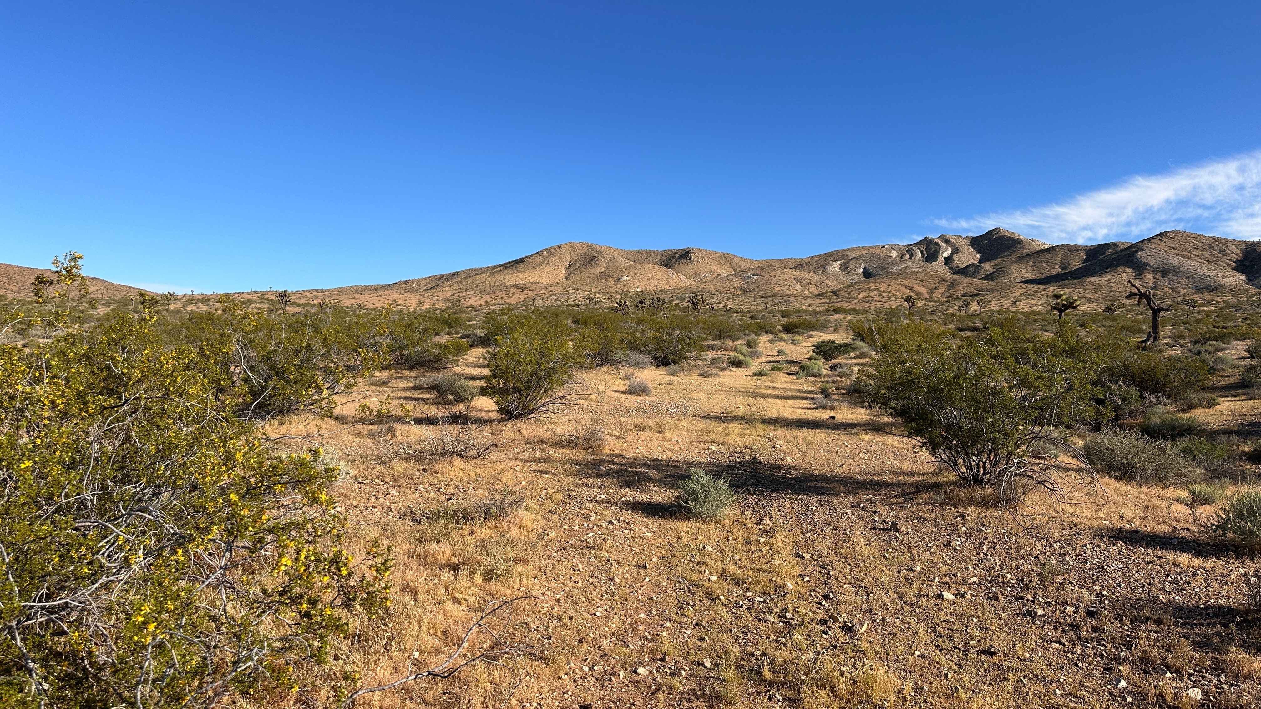
Dust Devil Trail
Total Miles
0.8
Tech Rating
Moderate
Best Time
Spring, Summer, Fall, Winter
ATV trails in California


UTV/side-by-side trails in California


Learn more about 3N267 Fenner Saddle (4N12)
3N267 Fenner Saddle (4N12)
Total Miles
3.8
Tech Rating
Difficult
Best Time
Spring, Summer, Fall, Winter

The onX Offroad Difference
onX Offroad combines trail photos, descriptions, difficulty ratings, width restrictions, seasonality, and more in a user-friendly interface. Available on all devices, with offline access and full compatibility with CarPlay and Android Auto. Discover what you’re missing today!