Off-Road Trails in California
Discover off-road trails in California
Learn more about Butler Peak Fire Lookout - 2N13B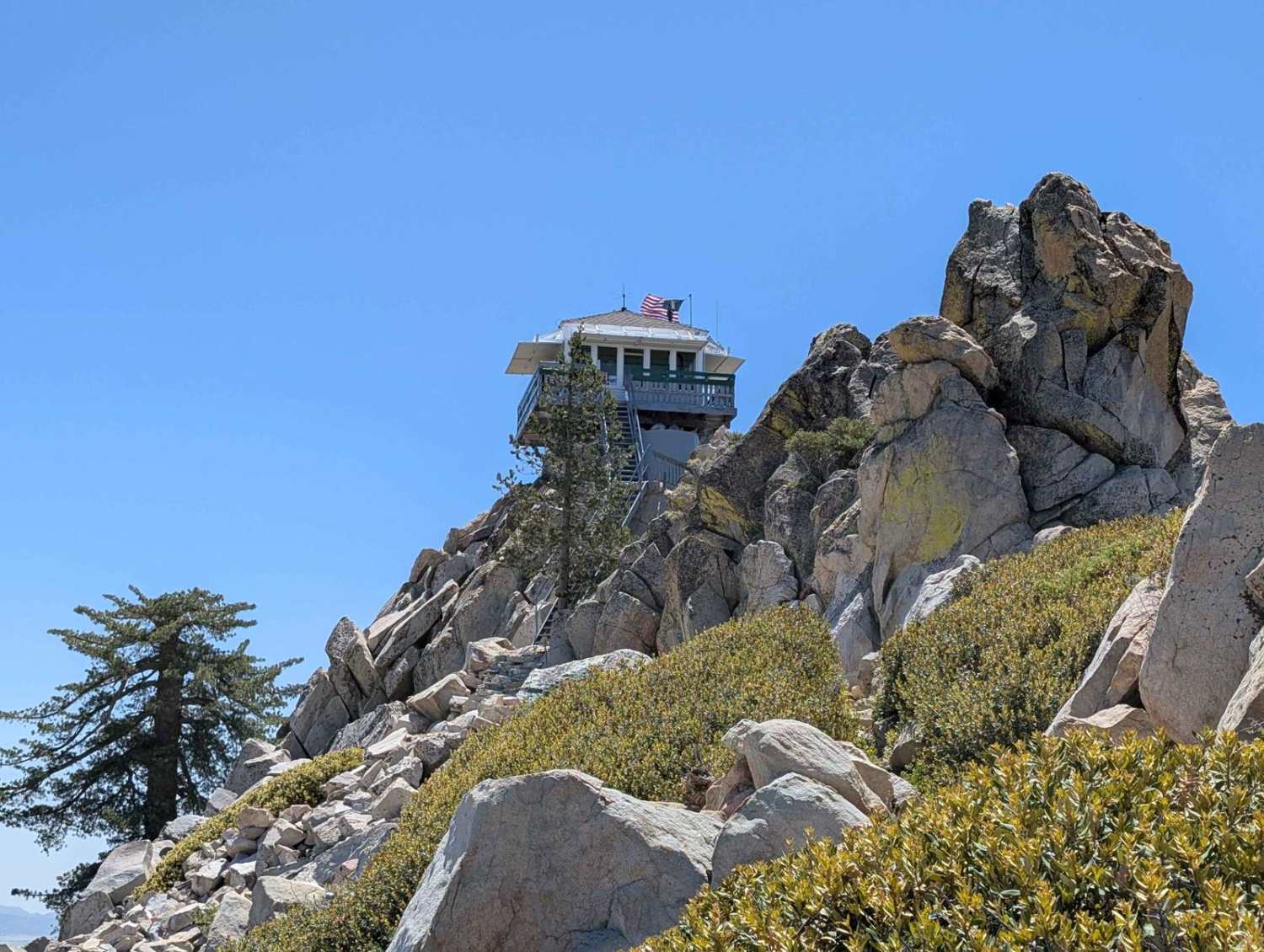
Butler Peak Fire Lookout - 2N13B
Total Miles
2.5
Tech Rating
Easy
Best Time
Spring, Summer, Fall
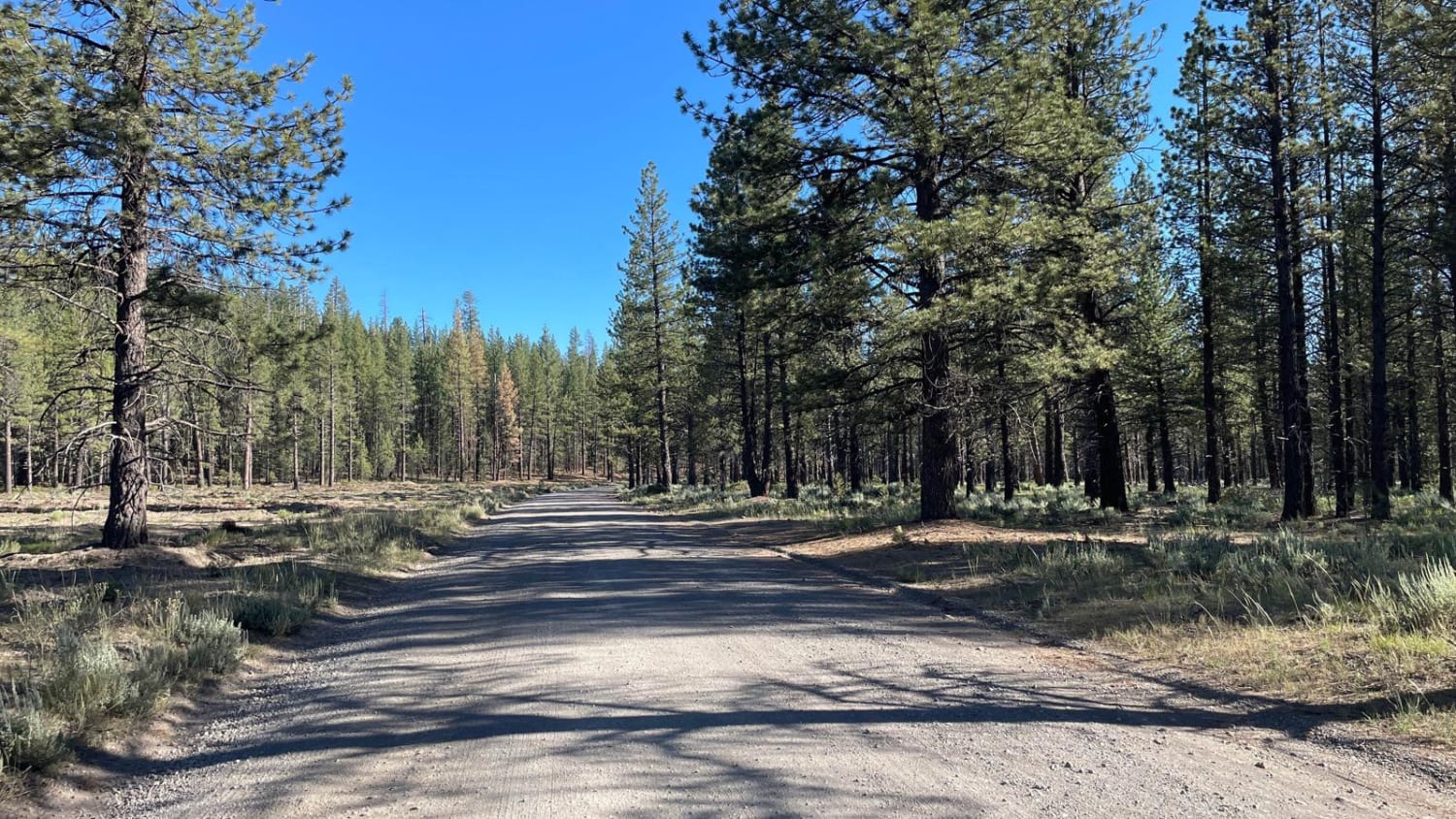
Learn more about Buttes Pass Road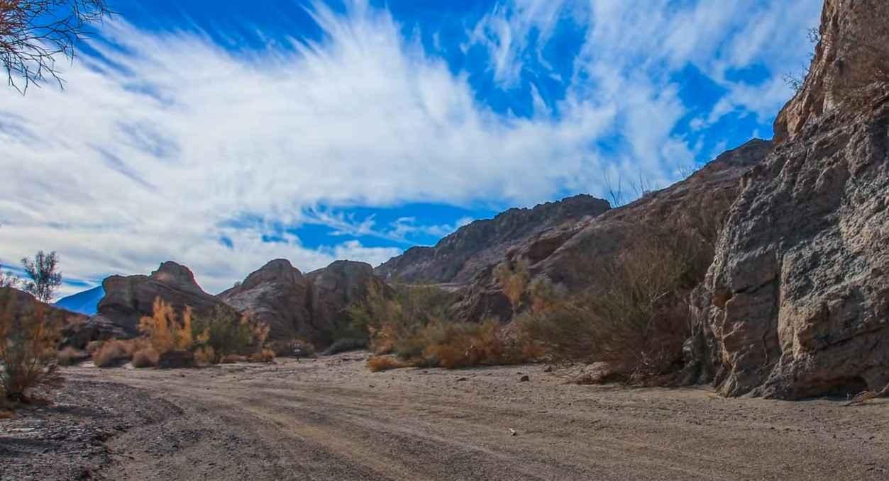
Buttes Pass Road
Total Miles
3.6
Tech Rating
Easy
Best Time
Spring, Summer, Fall, Winter
Learn more about By Day Creek - FS 32076
By Day Creek - FS 32076
Total Miles
1.2
Tech Rating
Easy
Best Time
Fall, Summer, Spring
Learn more about Cactus Flat - 3N62
Cactus Flat - 3N62
Total Miles
1.0
Tech Rating
Moderate
Best Time
Spring, Fall
Learn more about Cactus Ridge
Cactus Ridge
Total Miles
1.3
Tech Rating
Difficult
Best Time
Spring, Summer, Fall, Winter
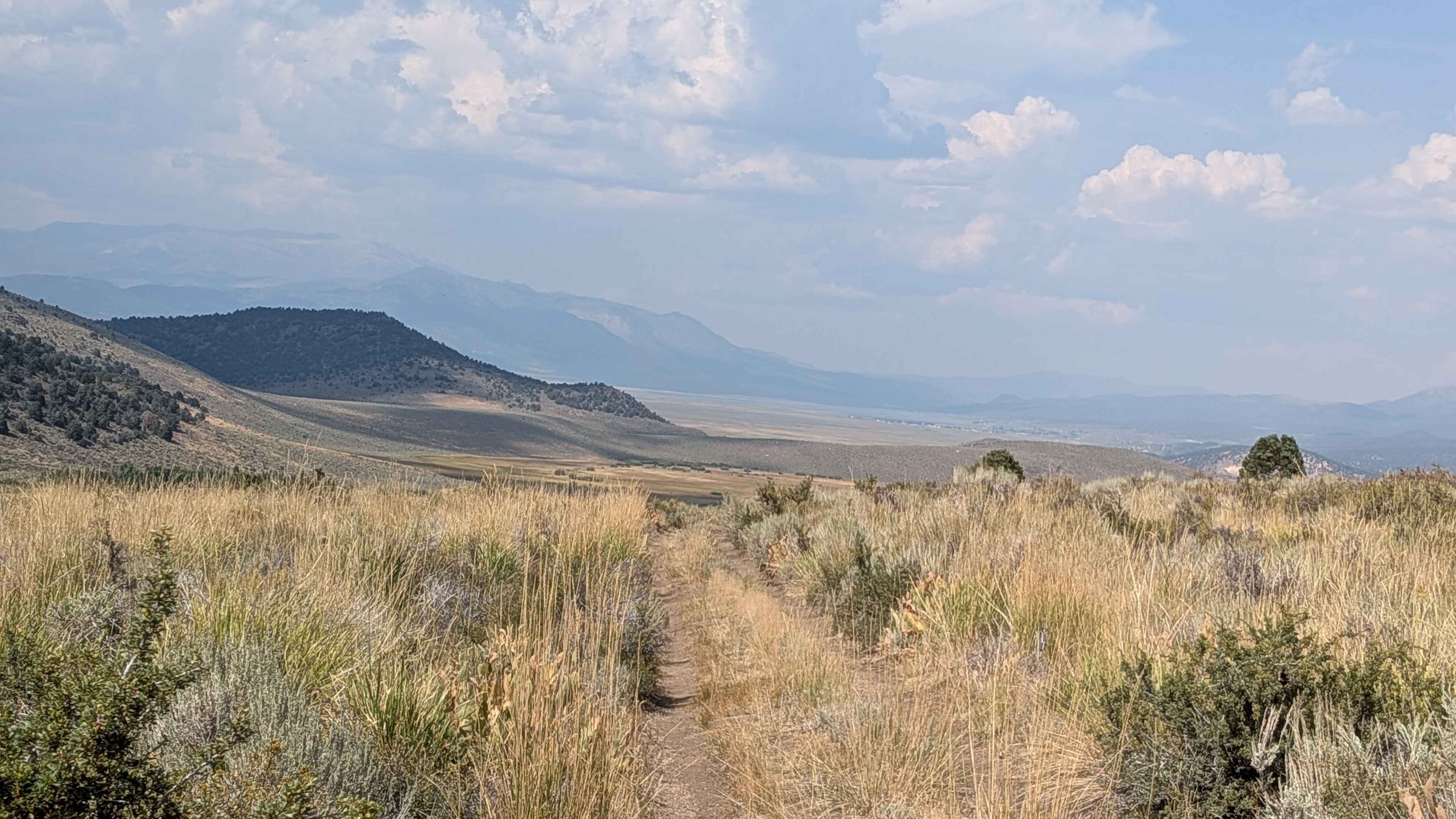
Learn more about Cady Mountain Loop - Part 1
Cady Mountain Loop - Part 1
Total Miles
4.1
Tech Rating
Easy
Best Time
Spring, Fall, Winter
Learn more about Cady Mountain Loop - Part 2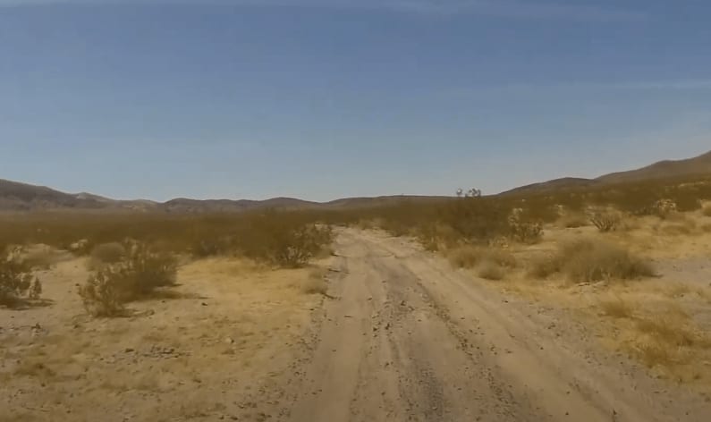
Cady Mountain Loop - Part 2
Total Miles
7.0
Tech Rating
Easy
Best Time
Spring, Fall, Winter
Learn more about Cady Mountain Loop - Part 3
Cady Mountain Loop - Part 3
Total Miles
10.9
Tech Rating
Easy
Best Time
Spring, Fall, Winter
Learn more about Cady Mountain Loop - Part 4
Cady Mountain Loop - Part 4
Total Miles
8.2
Tech Rating
Easy
Best Time
Spring, Fall, Winter
Learn more about Cady Mountain Loop - Part 5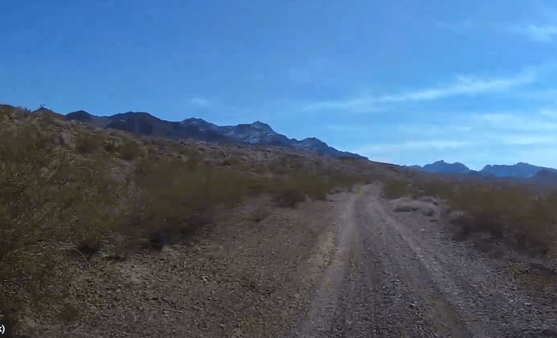
Cady Mountain Loop - Part 5
Total Miles
5.3
Tech Rating
Easy
Best Time
Spring, Fall, Winter
Learn more about Cady Mountain Loop - Part 6
Cady Mountain Loop - Part 6
Total Miles
9.1
Tech Rating
Easy
Best Time
Spring, Fall, Winter
Learn more about Cal Barrel - Redwood National Park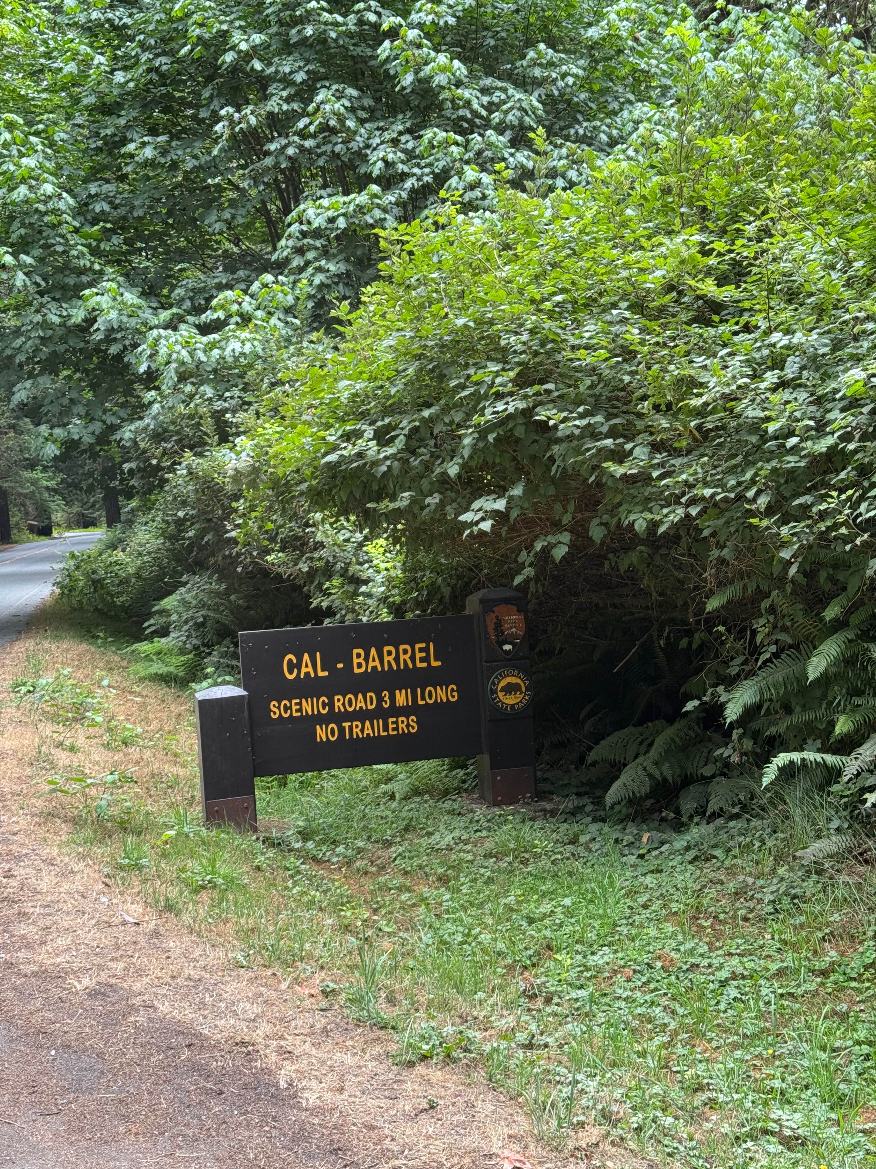
Cal Barrel - Redwood National Park
Total Miles
1.8
Tech Rating
Easy
Best Time
Spring, Summer, Fall, Winter
Learn more about Calcite Mine Road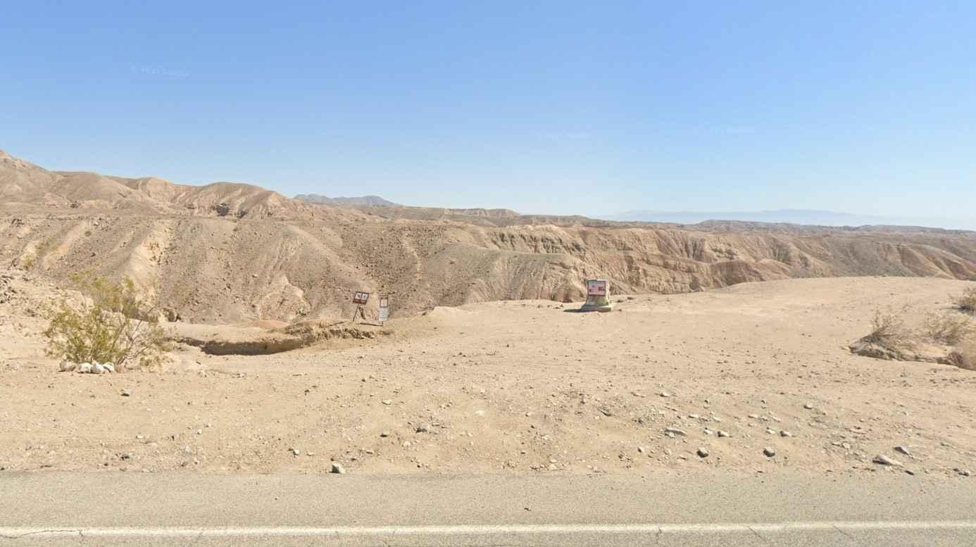
Calcite Mine Road
Total Miles
1.9
Tech Rating
Easy
Best Time
Spring, Fall, Summer
Learn more about Calf Creek - FS 25516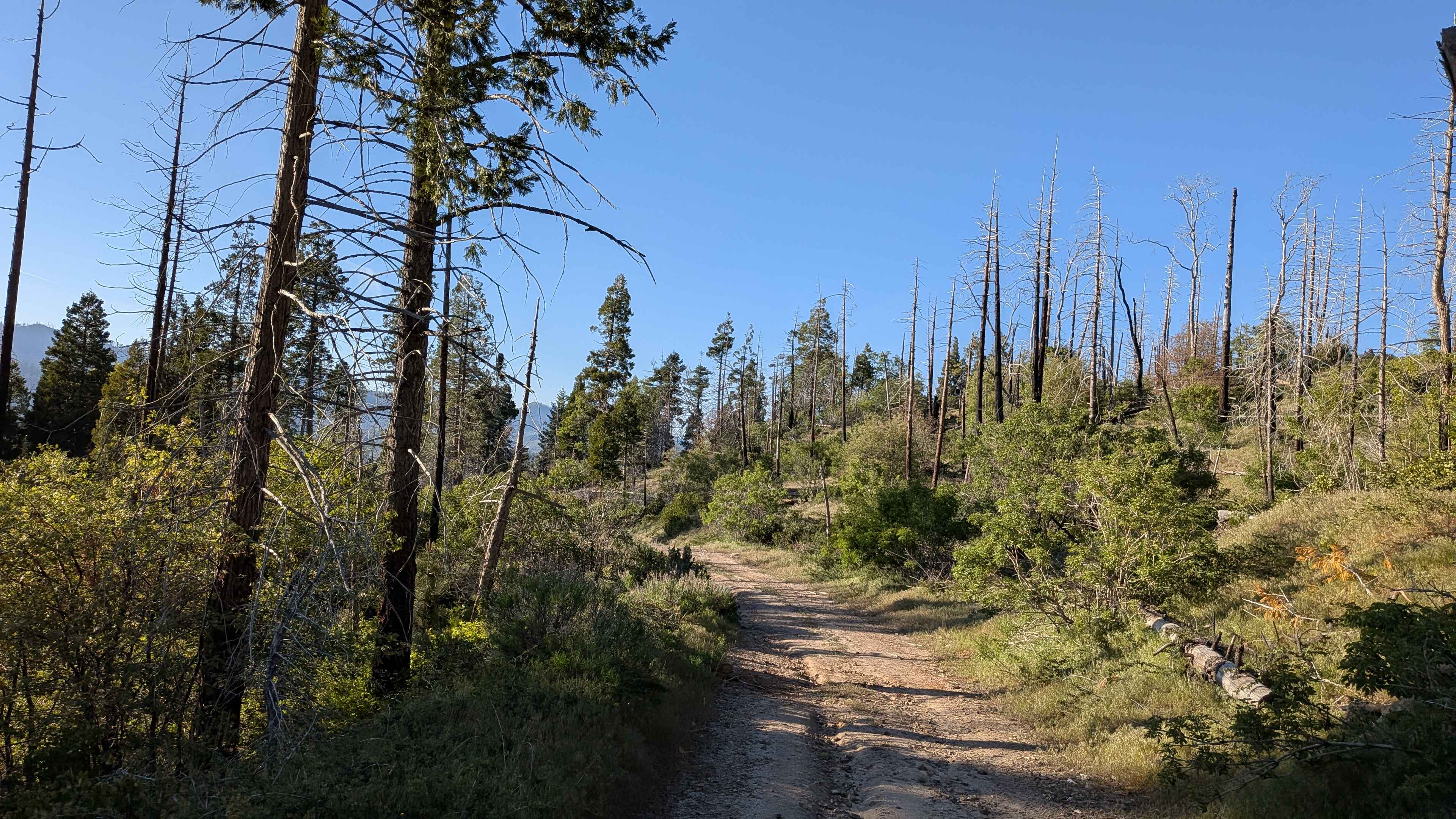
Calf Creek - FS 25516
Total Miles
3.5
Tech Rating
Easy
Best Time
Summer, Fall, Spring
Learn more about Camp Marion - FS 9N34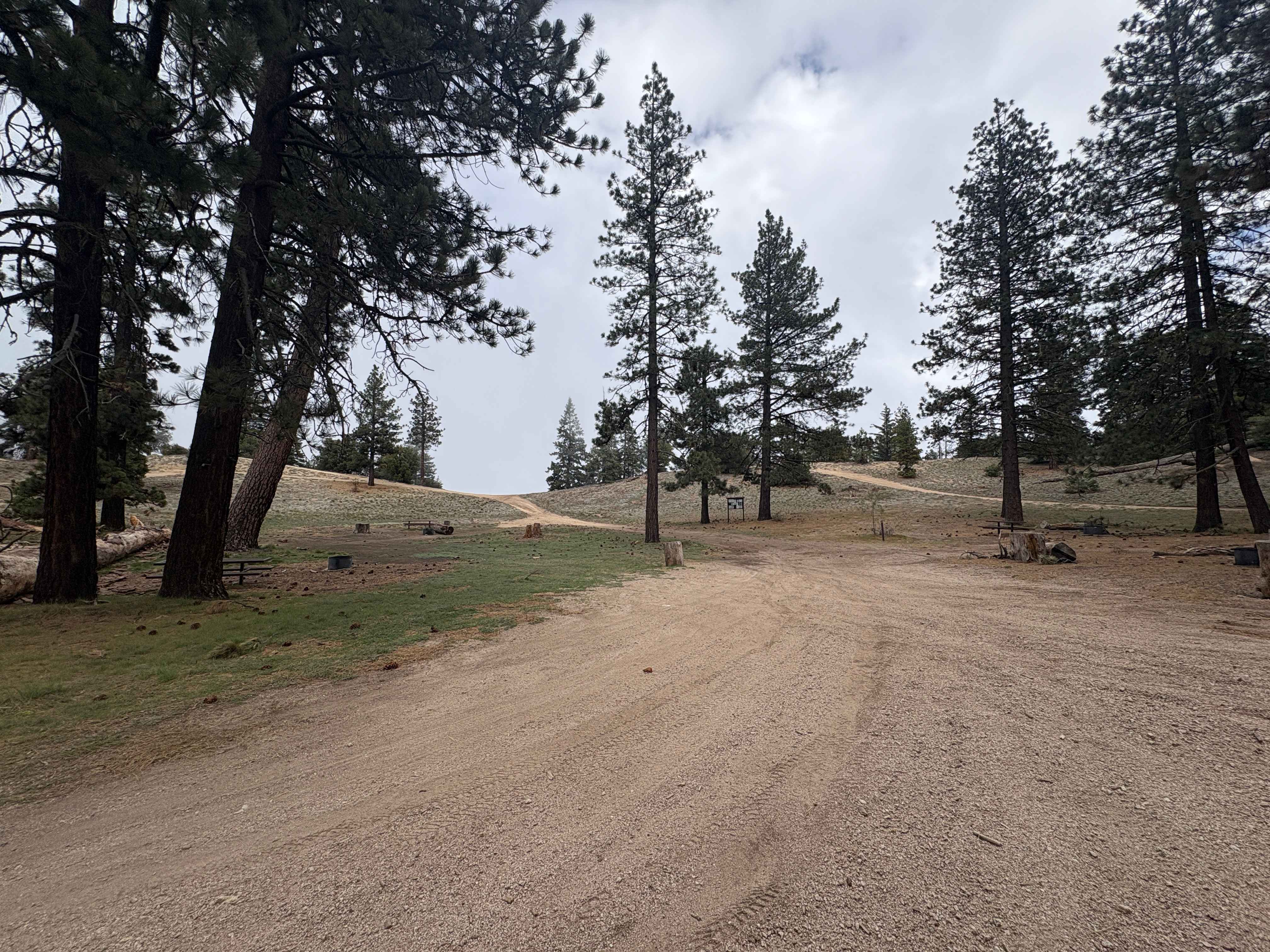
Camp Marion - FS 9N34
Total Miles
1.9
Tech Rating
Easy
Best Time
Spring, Summer, Fall
Learn more about Camp Osito - FS 2N17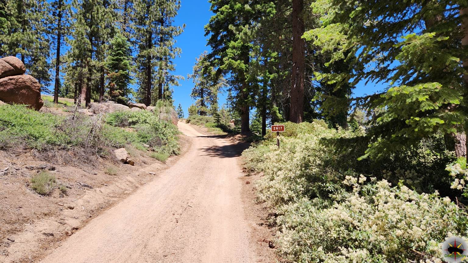
Camp Osito - FS 2N17
Total Miles
1.8
Tech Rating
Easy
Best Time
Spring, Summer, Fall
Learn more about Camp Wolfeboro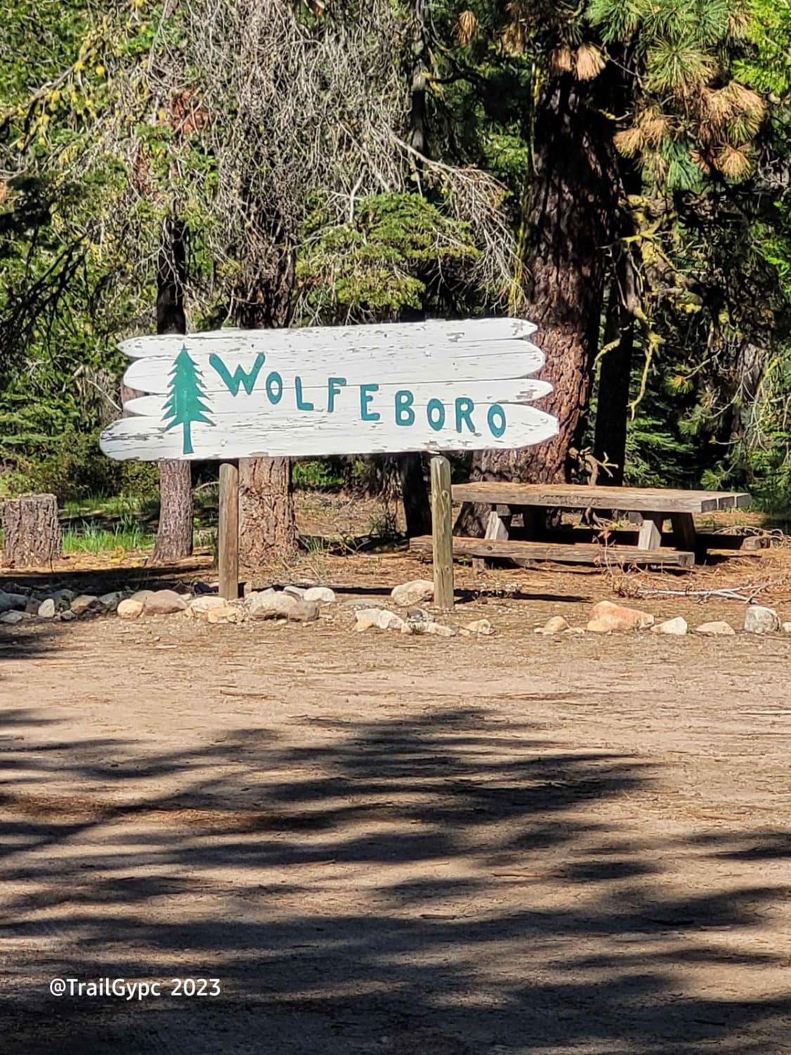
Camp Wolfeboro
Total Miles
2.2
Tech Rating
Easy
Best Time
Spring, Summer, Fall
ATV trails in California


UTV/side-by-side trails in California


Learn more about 3N267 Fenner Saddle (4N12)
3N267 Fenner Saddle (4N12)
Total Miles
3.8
Tech Rating
Difficult
Best Time
Spring, Summer, Fall, Winter

The onX Offroad Difference
onX Offroad combines trail photos, descriptions, difficulty ratings, width restrictions, seasonality, and more in a user-friendly interface. Available on all devices, with offline access and full compatibility with CarPlay and Android Auto. Discover what you’re missing today!