By Day Creek - FS 32076
Total Miles
1.2
Technical Rating
Best Time
Fall, Summer, Spring
Trail Type
Full-Width Road
Accessible By
Trail Overview
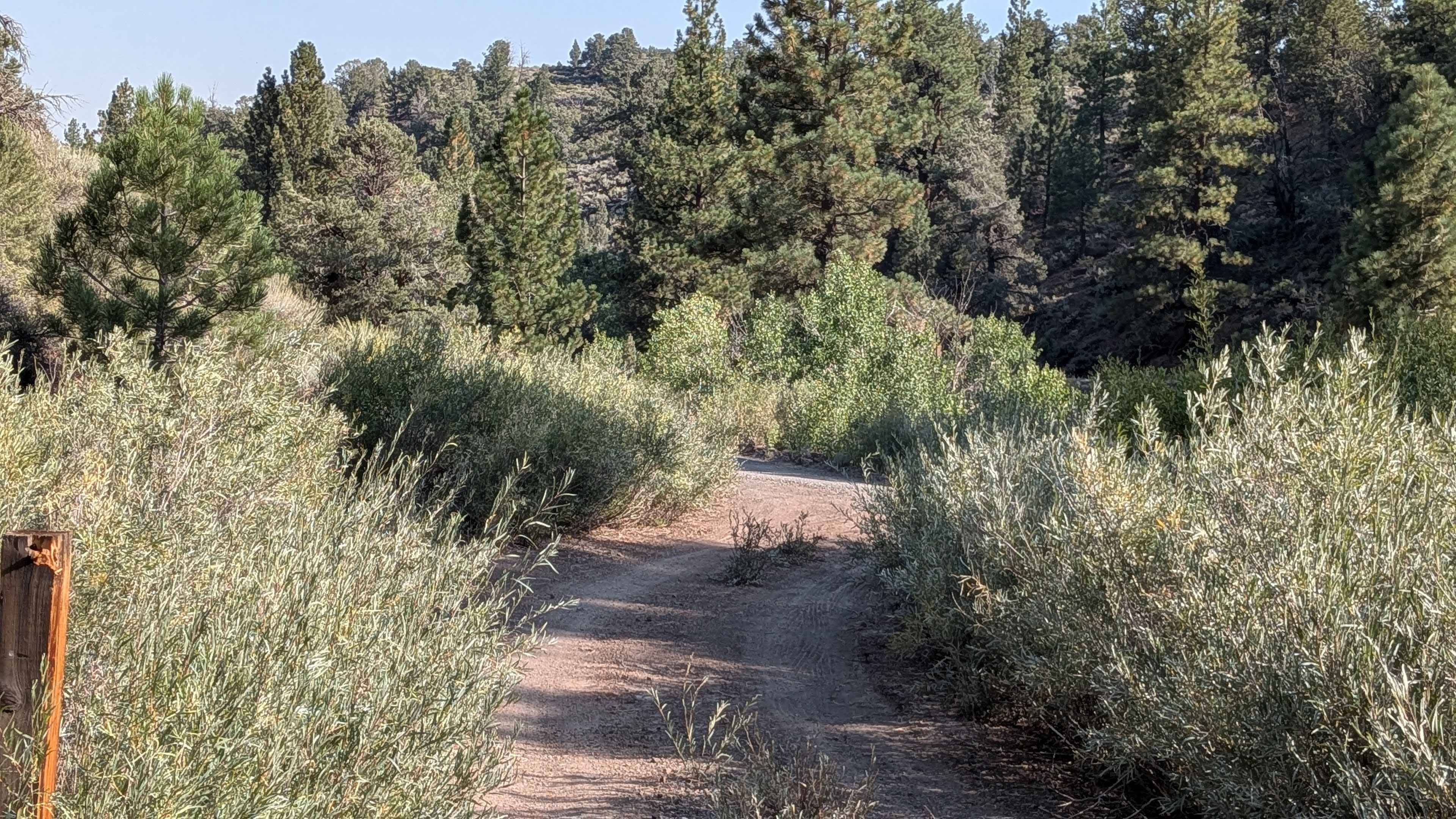
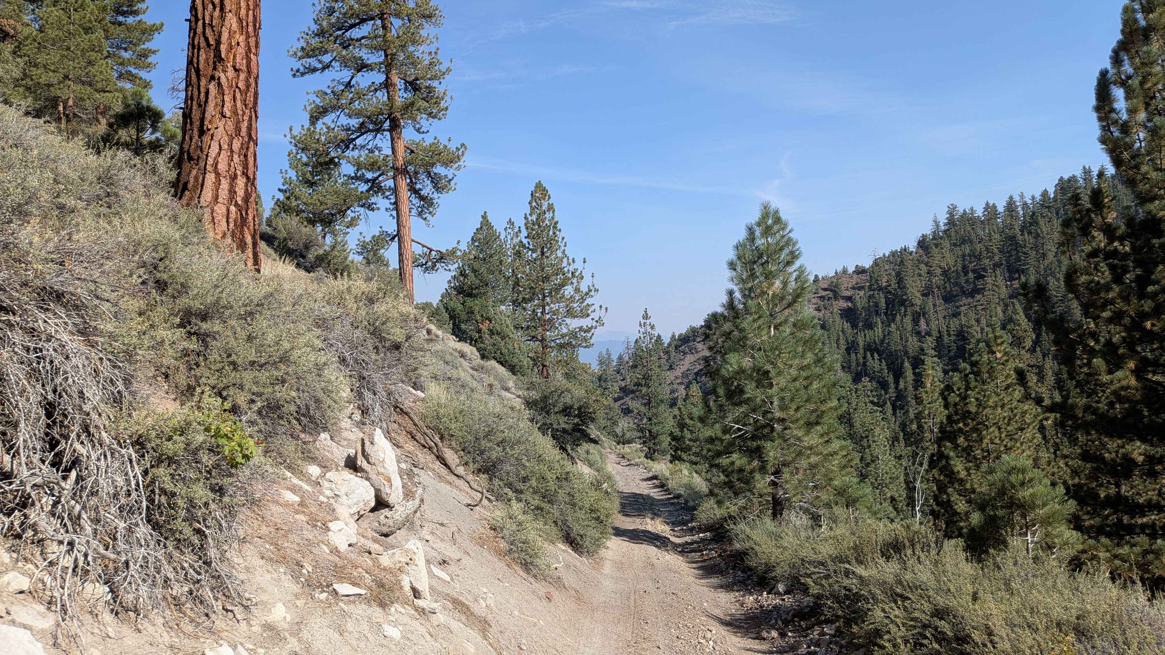
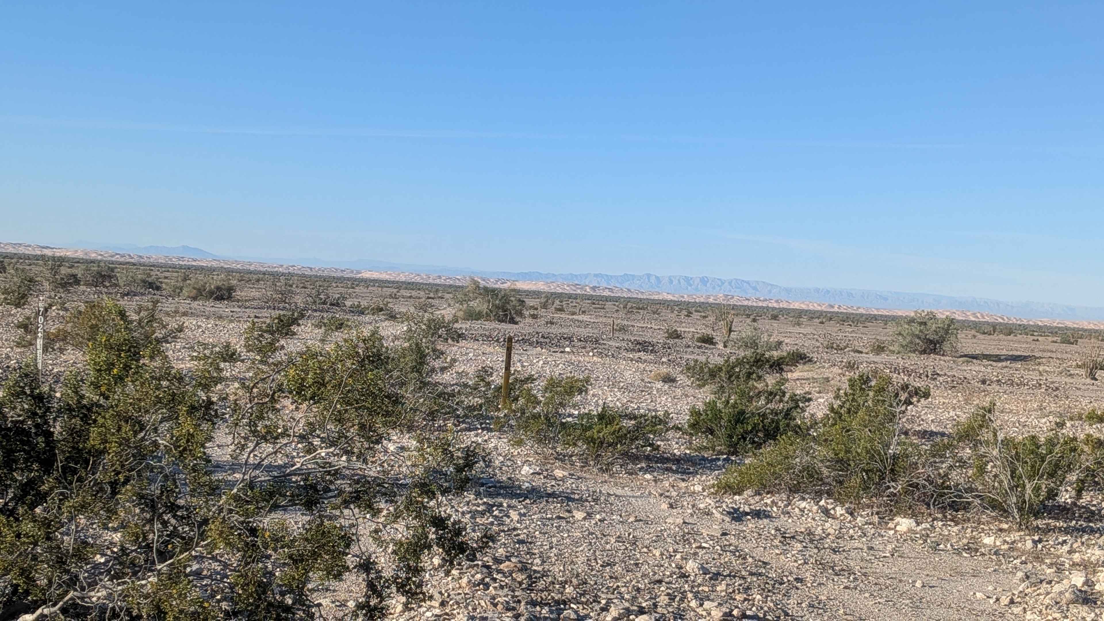
By Day Creek is a sandy single-width vehicle trail that climbs almost 700 feet over just 1.4 miles, creating a steep and challenging ascent. This 3-mile in-and-out trail begins on the Buckeye Robinson Creek North Trail and follows the scenic By Day Creek canyon. The trail runs along a shelf road positioned next to the creek, offering pleasant water views and sounds throughout much of the journey. The sandy surface features some small embedded rocks that provide occasional traction challenges, along with ruts and larger boulders that reach up to 12 inches in height. About half a mile into the trail, conditions become more demanding as the surface transitions to rockier terrain while simultaneously becoming steeper and more off-camber. The route includes several switchbacks, one of which provides a spectacular overlook of Bridgeport in the valley below. A longer shelf road section presents particular challenges with narrow passages and significant off-camber angles that require careful navigation and confident driving skills. The combination of rocky terrain, steep grades, and technical shelf road sections makes this a demanding trail that tests both vehicle capability and driver experience.
Photos of By Day Creek - FS 32076
Difficulty
This trail receives a difficulty rating of 3, reflecting its moderate to challenging nature. The steep 700-foot climb over a relatively short distance, combined with increasingly rocky and off-camber terrain, requires intermediate off-road driving skills. The narrow shelf road sections with exposure, technical switchbacks, and mixed surface conditions make this unsuitable for beginners or those uncomfortable with steep, technical terrain.
Status Reports
By Day Creek - FS 32076 can be accessed by the following ride types:
- High-Clearance 4x4
- SUV
- SxS (60")
- ATV (50")
- Dirt Bike
By Day Creek - FS 32076 Map
Popular Trails
Boundary Road - FS 17N06

Farrington Siphon South
Rock Formations Loop
The onX Offroad Difference
onX Offroad combines trail photos, descriptions, difficulty ratings, width restrictions, seasonality, and more in a user-friendly interface. Available on all devices, with offline access and full compatibility with CarPlay and Android Auto. Discover what you’re missing today!