Trail Overview
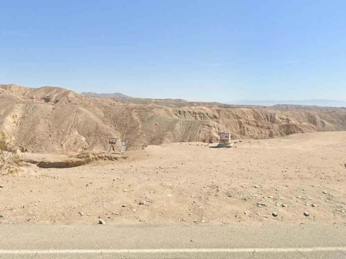
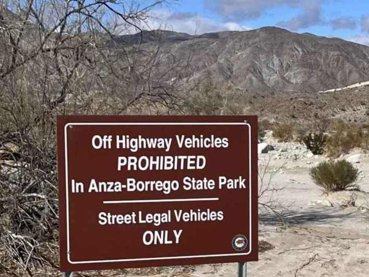
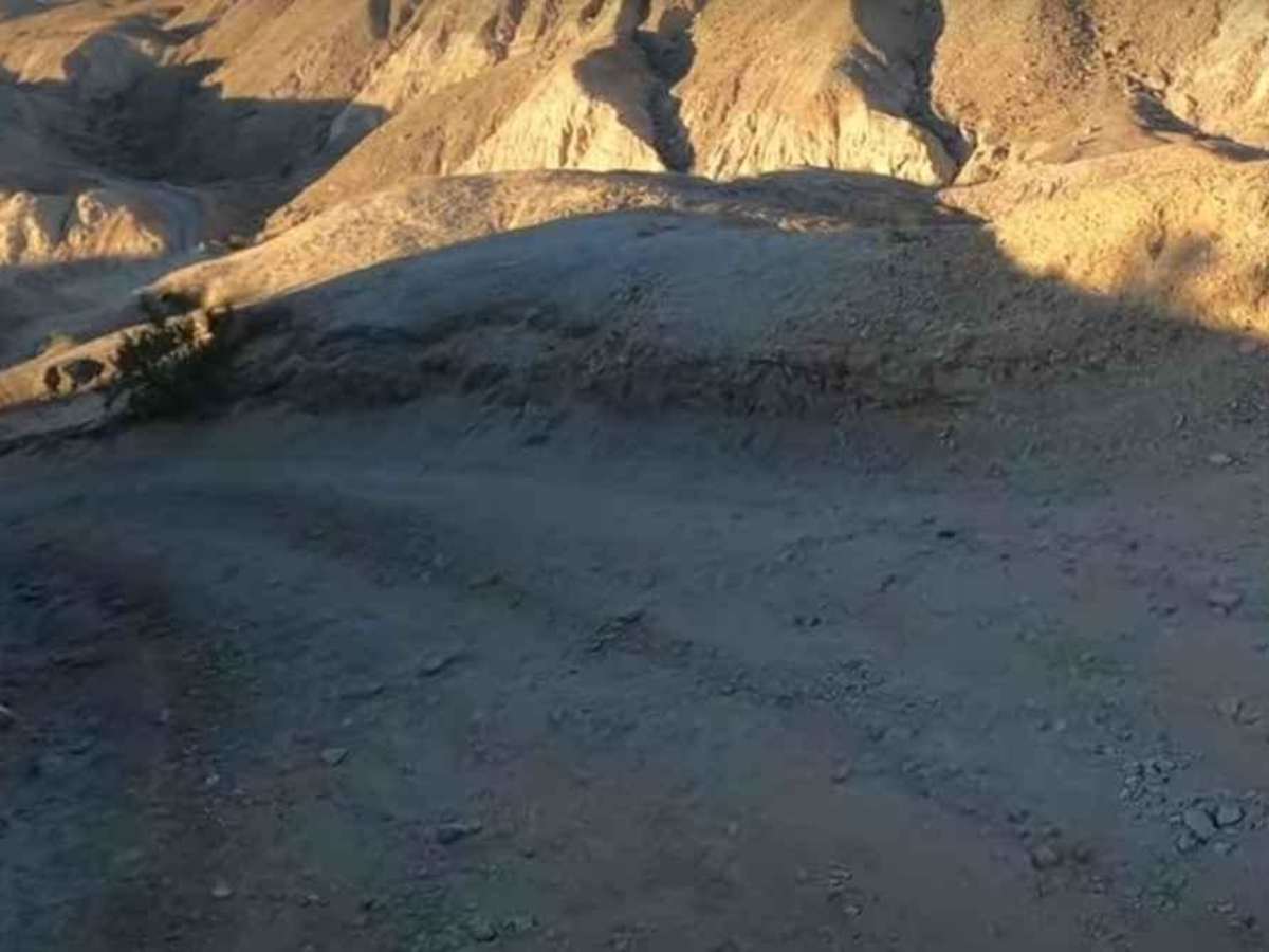
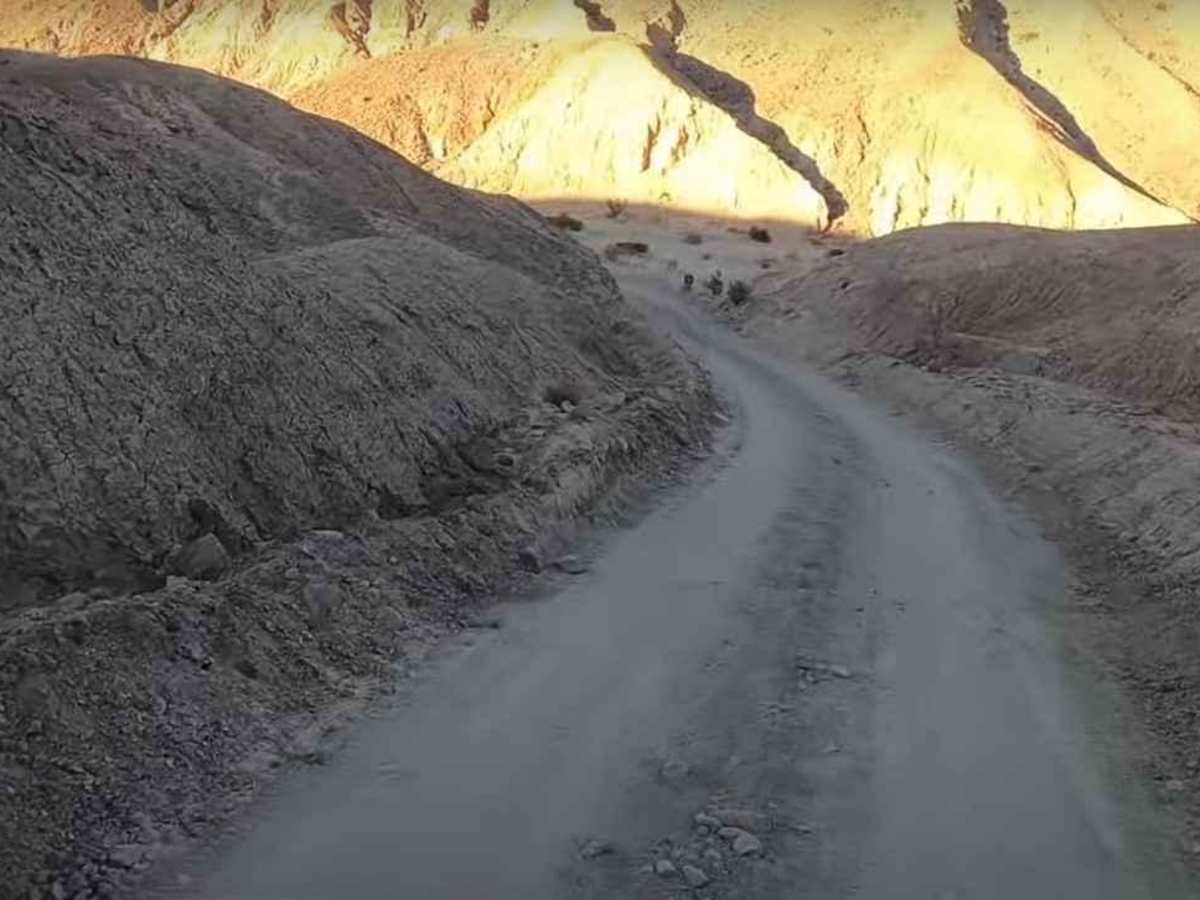
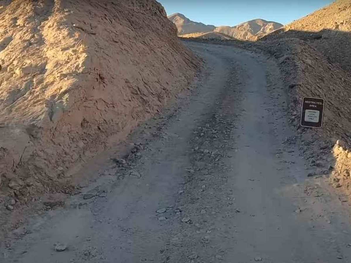
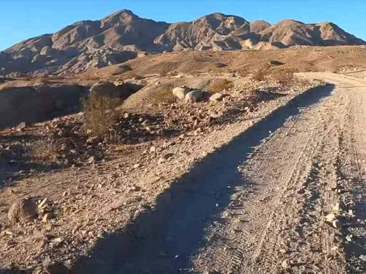
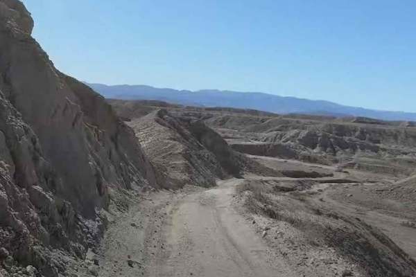
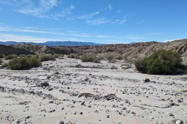
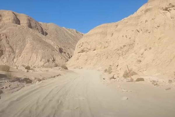
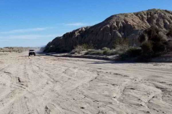
Calcite Mine Road is a 7.6-mile out-and-back trail rated 3 of 10 located within the California Anza-Borrego Desert State Park (ABDSP). Trails within the ABDSP are restricted to street-legal vehicles. The Calcite Mine Road trailhead starts off Highway S22 (Borrego Salton Seaway) and travels north up to the base of the Santa Rosa Mountains. An informational sign as well as a trail sign are located in the large pullout area on the north side of S22. The trail starts with a descent to the South Fork Palm Wash before climbing back up towards the mines. One of the many slot canyons located within the State Park is located west down the wash. Continuing north on the Calcite Mine Road as it climbs to the base of the mountains, the trail is primarily hard-packed dirt with embedded rocks. Portions of the trail are shelf roads and there are a couple of blind curves where care should be taken. As the trail approaches the end, there is a sign on the left that states "Calcite Mine Area." A large parking area is located at the top of the trail. The mines are not like typical mines. The Calcite Mines are long trenches cut into the mountainside. Approaching the parking area, one is visible across the canyon. There are several other trenches just west of the parking area that can be explored. Early in World War II, calcite was an important mineral used to make the optics in the Norden bombsite as well as sights for anti-aircraft guns. Cell phone service is typically available until descending the drop and resumes as the trail nears the San Felipe Wash. The nearest services are located in Borrego Springs. Reminder you can look and touch any calcite found in the area, but it is illegal to remove it from the State Park.
Difficulty
The trail consists of loose rocks, dirt, and sand with some slick rock surfaces and mud holes possible. No steps are higher than 12 inches. 4WD may be required, and aggressive tires are a plus.
History
Anza-Borrego Desert State Park is a California State Park located within the Colorado Desert of southern California, United States. The park takes its name from 18th-century Spanish explorer Juan Bautista de Anza and the Spanish word borrego, which literally means "lamb" but is also used to describe the desert bighorn sheep. With nearly 600,000 acres, it is the largest state park in California as well as the 48 contiguous states. The park has varied topography that includes dry lake beds, badlands, and mountains that rise above 5,500 feet (1,675 meters). Two-thirds of the park's area is designated as wilderness, and cactus, yucca, and ocotillo are abundant throughout. Among the park's attractions are groves of California fan palms and a profusion of wildflowers that bloom in mid-to-late winter. Deer, kit foxes, iguanas, rattlesnakes, roadrunners, eagles, and the endangered desert bighorn sheep are all found within the park.