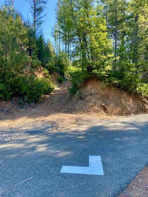
Off-Road Trails in California
Discover off-road trails in California
Learn more about Broken Spur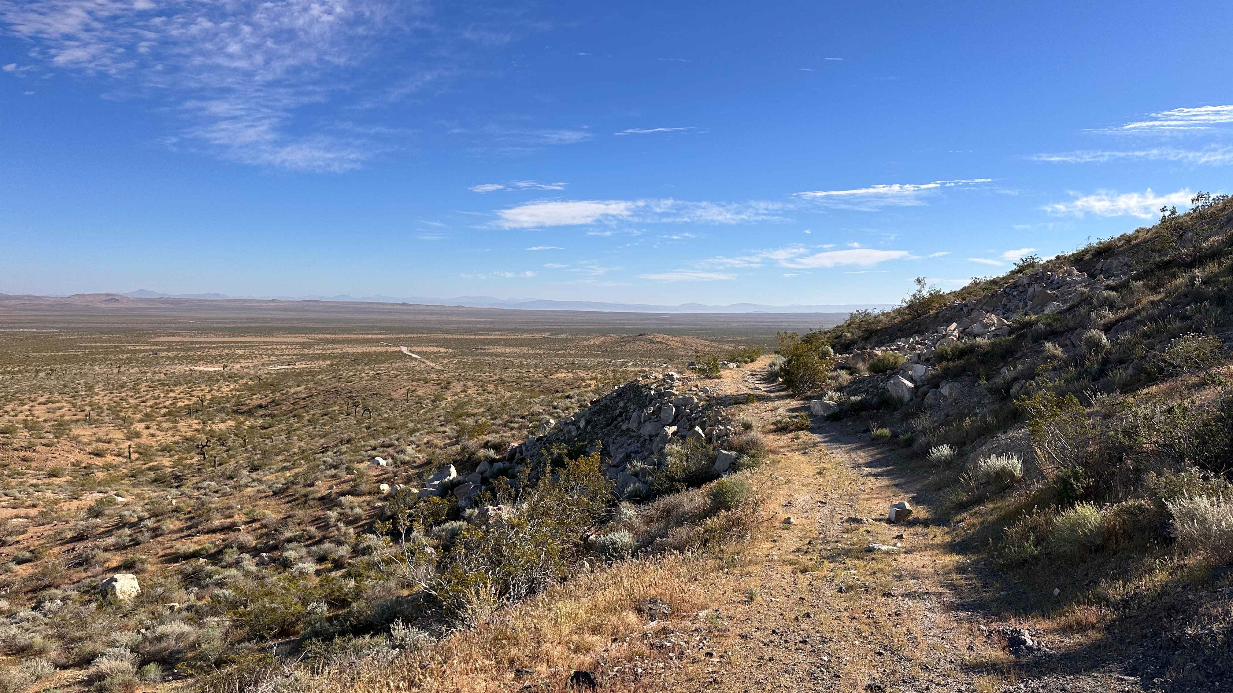
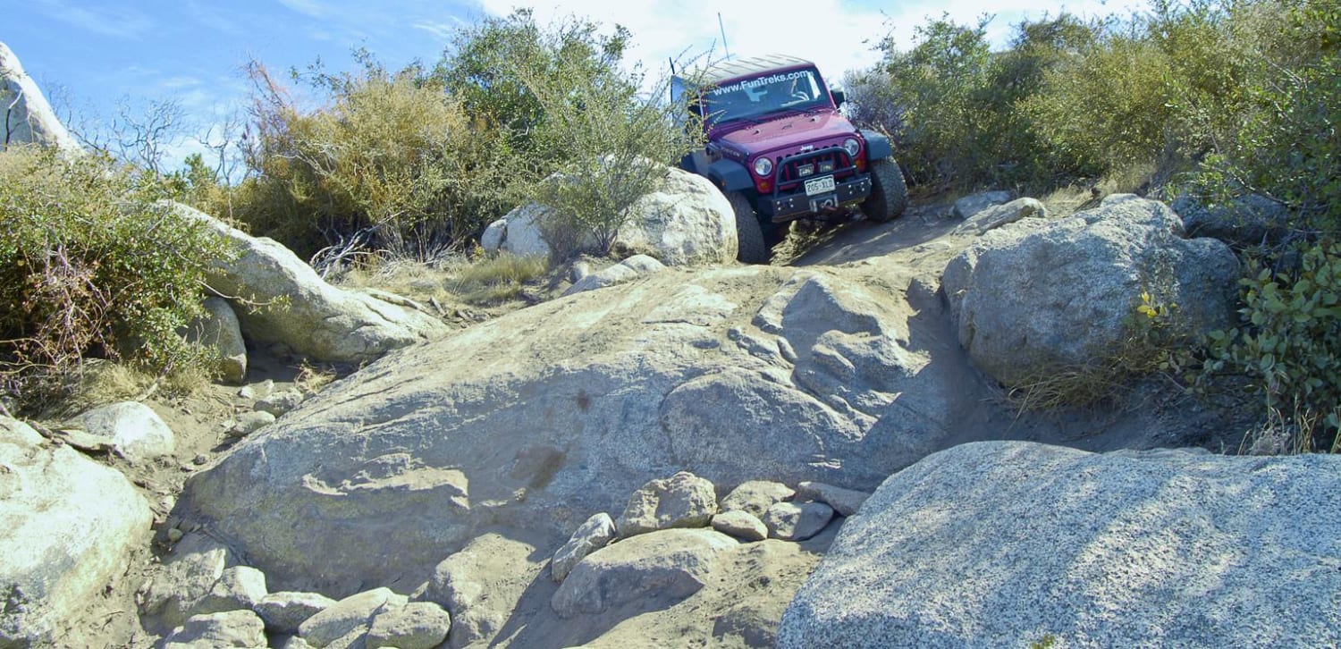
Broken Spur
Total Miles
0.6
Tech Rating
Moderate
Best Time
Spring, Summer, Fall, Winter
Learn more about Broken Spur Offshoot
Broken Spur Offshoot
Total Miles
0.3
Tech Rating
Moderate
Best Time
Spring, Summer, Fall, Winter
Learn more about Bronson - FS 3S15
Bronson - FS 3S15
Total Miles
0.6
Tech Rating
Moderate
Best Time
Fall, Summer
Learn more about Brooklyn Mine Trail
Brooklyn Mine Trail
Total Miles
1.8
Tech Rating
Moderate
Best Time
Spring, Fall
Learn more about Brown's Mill - FS 26S04
Brown's Mill - FS 26S04
Total Miles
3.4
Tech Rating
Easy
Best Time
Fall, Summer, Spring
Learn more about Browns Trail - FS 23E285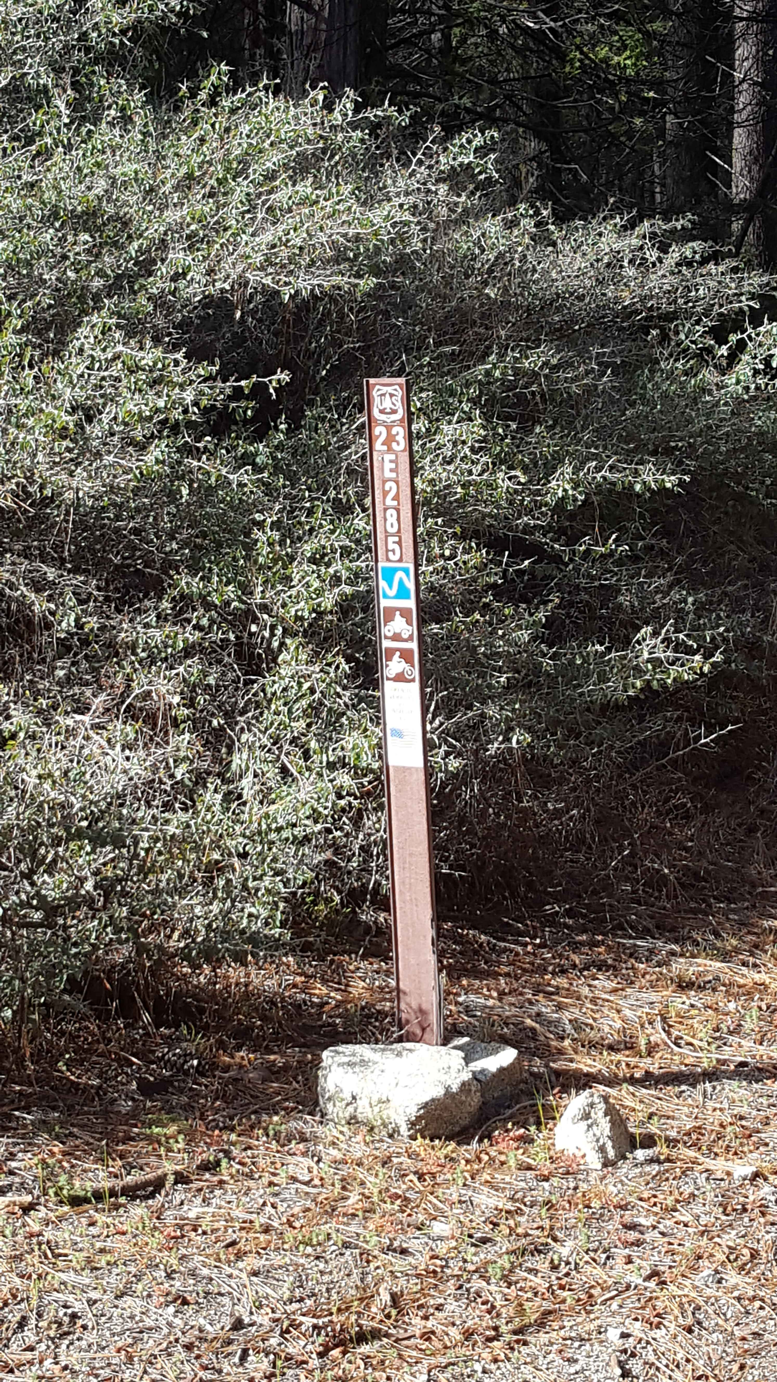
Browns Trail - FS 23E285
Total Miles
0.7
Tech Rating
Moderate
Best Time
Spring, Summer, Fall
Learn more about Brushy Ridge - 19N29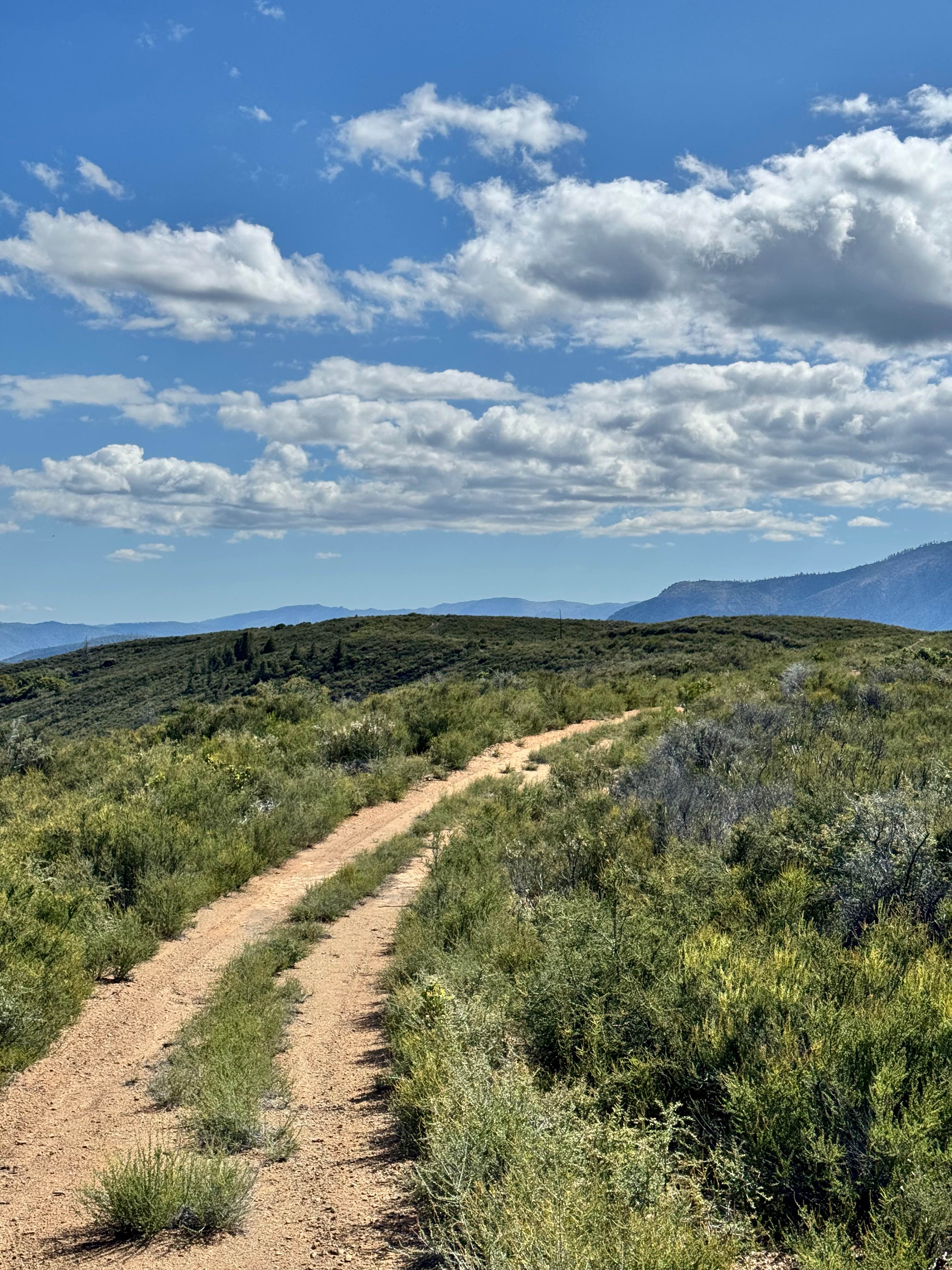
Brushy Ridge - 19N29
Total Miles
2.3
Tech Rating
Easy
Best Time
Spring, Fall, Summer
Learn more about Buck Pasture Trail (East)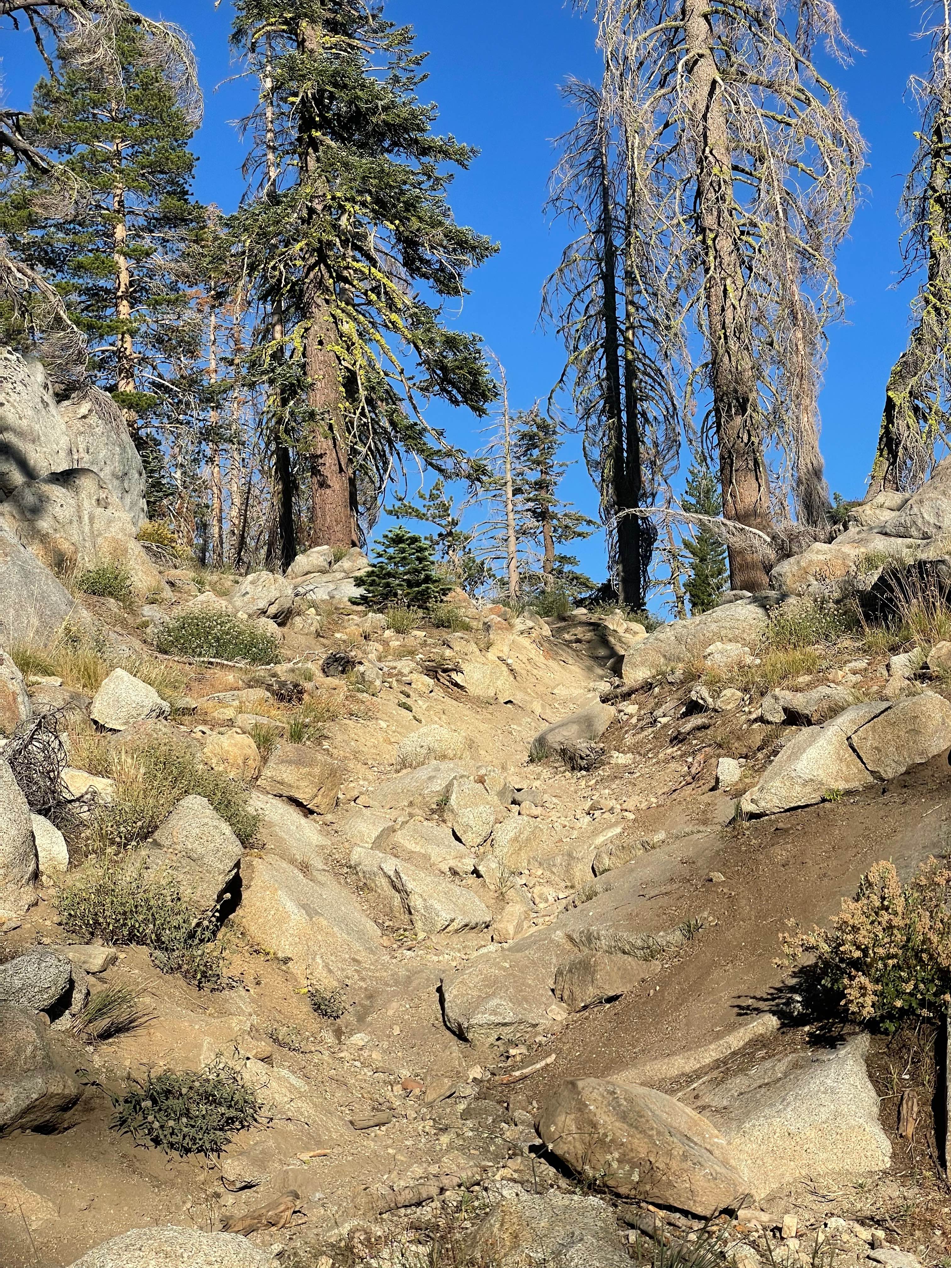
Buck Pasture Trail (East)
Total Miles
1.7
Tech Rating
Difficult
Best Time
Summer, Fall
Learn more about Buck Pasture Trail (West)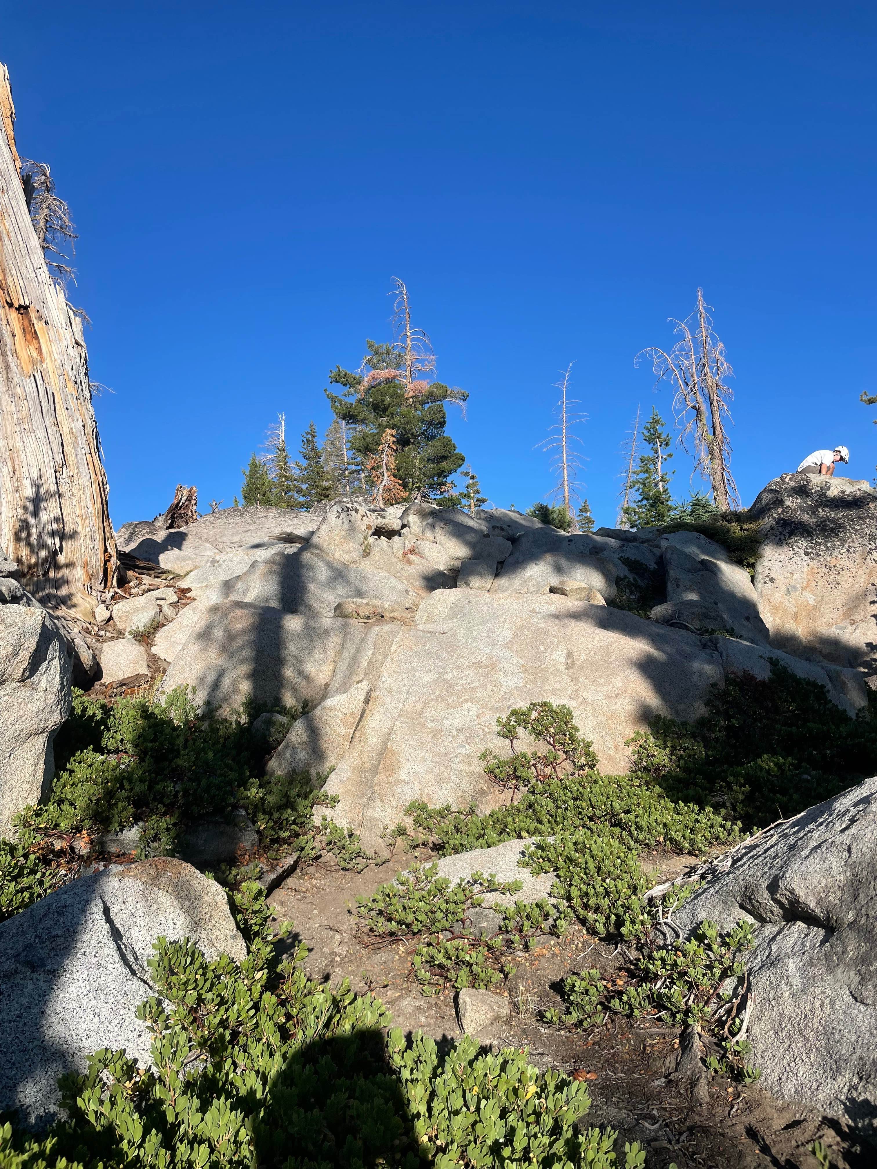
Buck Pasture Trail (West)
Total Miles
1.8
Tech Rating
Difficult
Best Time
Fall, Summer
Learn more about Buck Rock Jeep Trail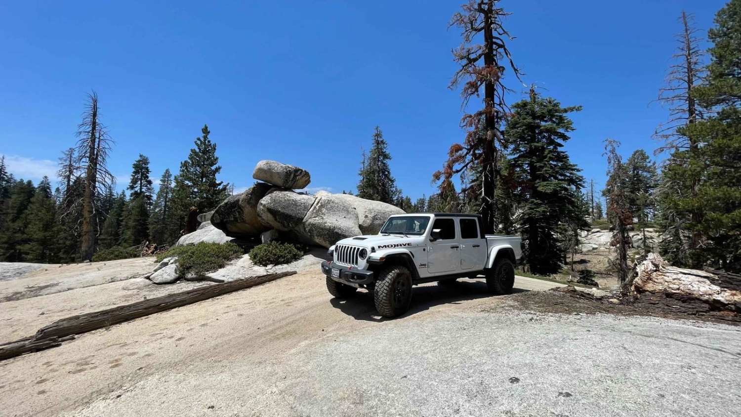
Buck Rock Jeep Trail
Total Miles
4.0
Tech Rating
Moderate
Best Time
Summer, Fall
Learn more about Buckeye Robinson Creek North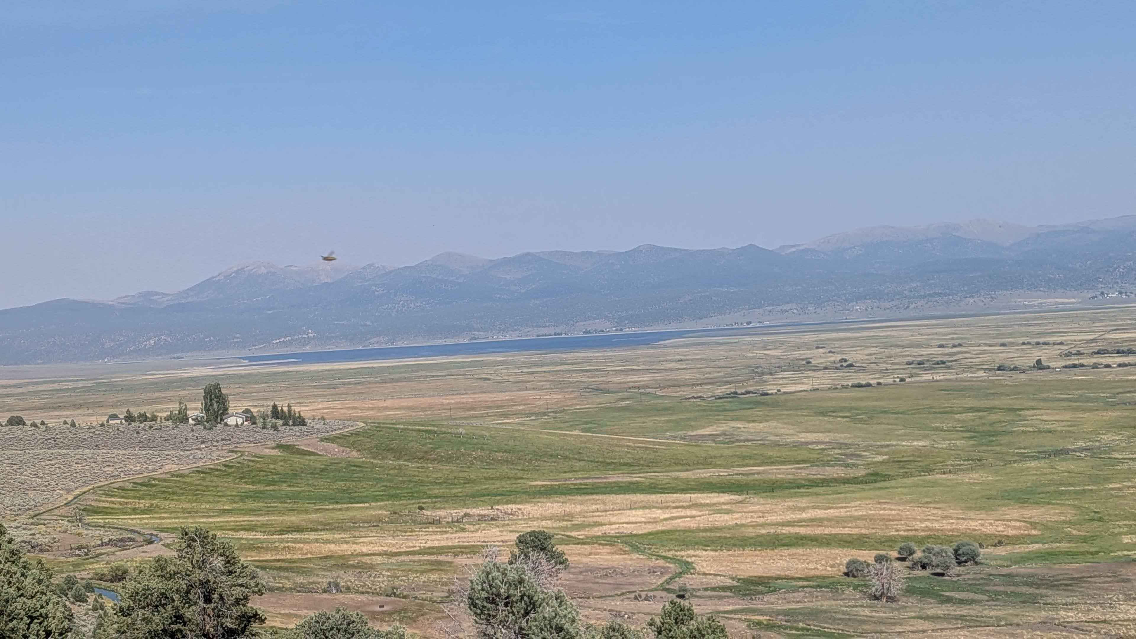
Buckeye Robinson Creek North
Total Miles
4.6
Tech Rating
Easy
Best Time
Spring, Fall, Summer
Learn more about Buckeye Robinson Creek South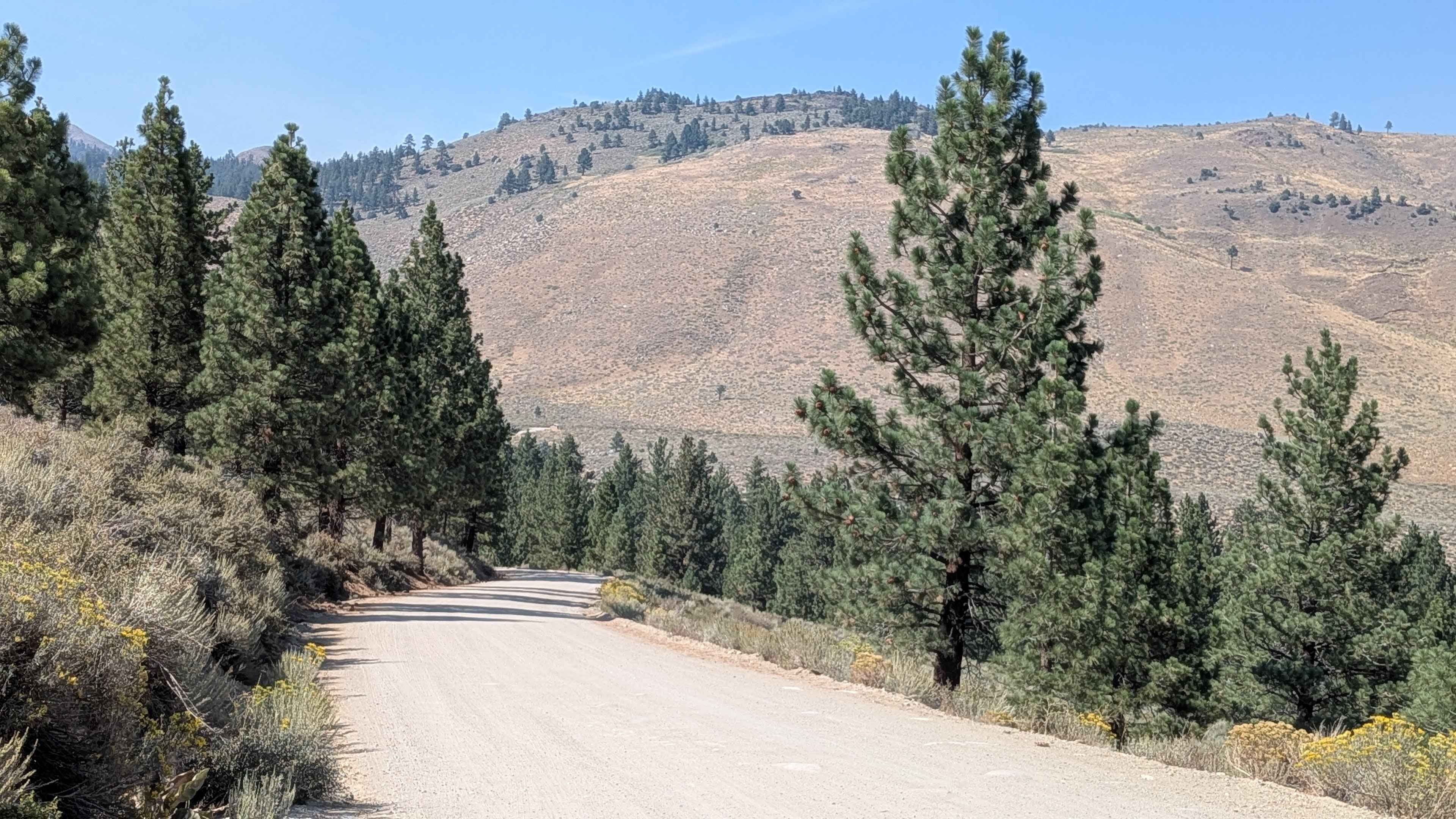
Buckeye Robinson Creek South
Total Miles
2.9
Tech Rating
Easy
Best Time
Fall, Summer, Spring
Learn more about Bucks Meadow Road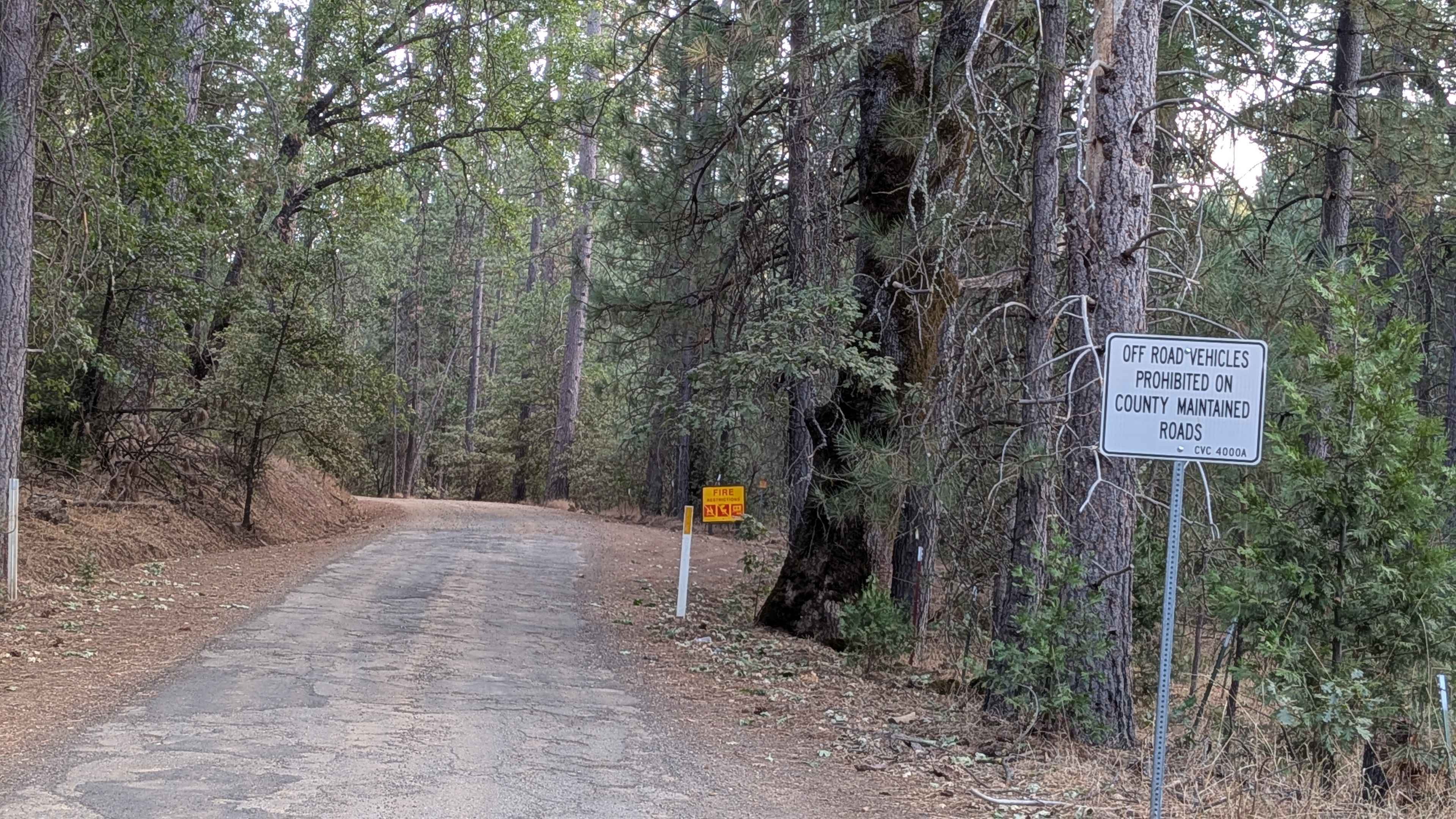
Bucks Meadow Road
Total Miles
3.9
Tech Rating
Easy
Best Time
Summer, Fall, Spring
Learn more about Buena Vista Canyon
Buena Vista Canyon
Total Miles
0.9
Tech Rating
Easy
Best Time
Spring, Fall, Winter
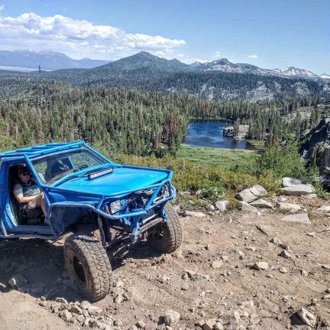
ATV trails in California


UTV/side-by-side trails in California


Learn more about 3N267 Fenner Saddle (4N12)
3N267 Fenner Saddle (4N12)
Total Miles
3.8
Tech Rating
Difficult
Best Time
Spring, Summer, Fall, Winter

The onX Offroad Difference
onX Offroad combines trail photos, descriptions, difficulty ratings, width restrictions, seasonality, and more in a user-friendly interface. Available on all devices, with offline access and full compatibility with CarPlay and Android Auto. Discover what you’re missing today!