FS 32E306
Total Miles
2.9
Technical Rating
Best Time
Summer, Fall
Trail Type
Full-Width Road
Accessible By
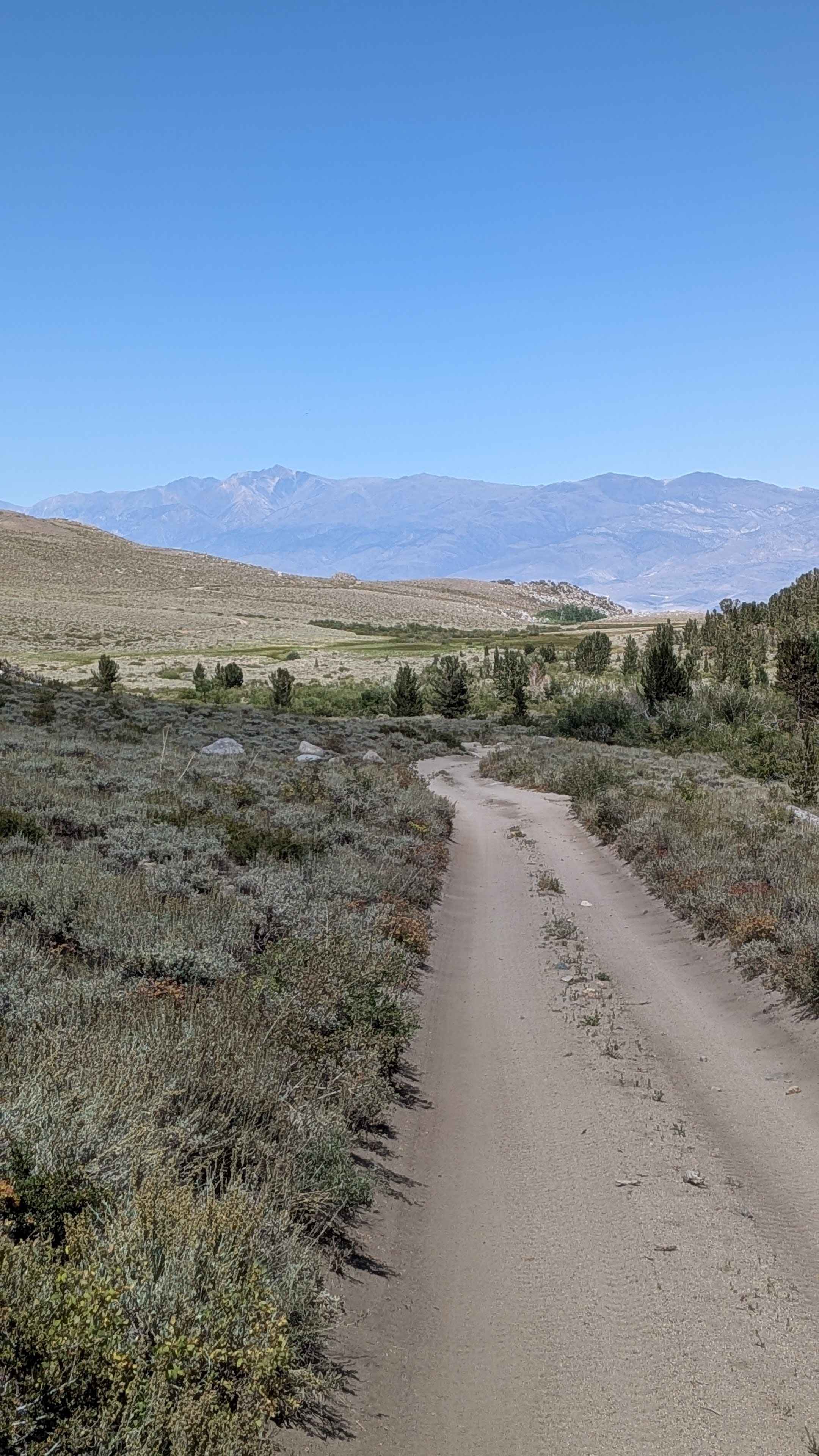
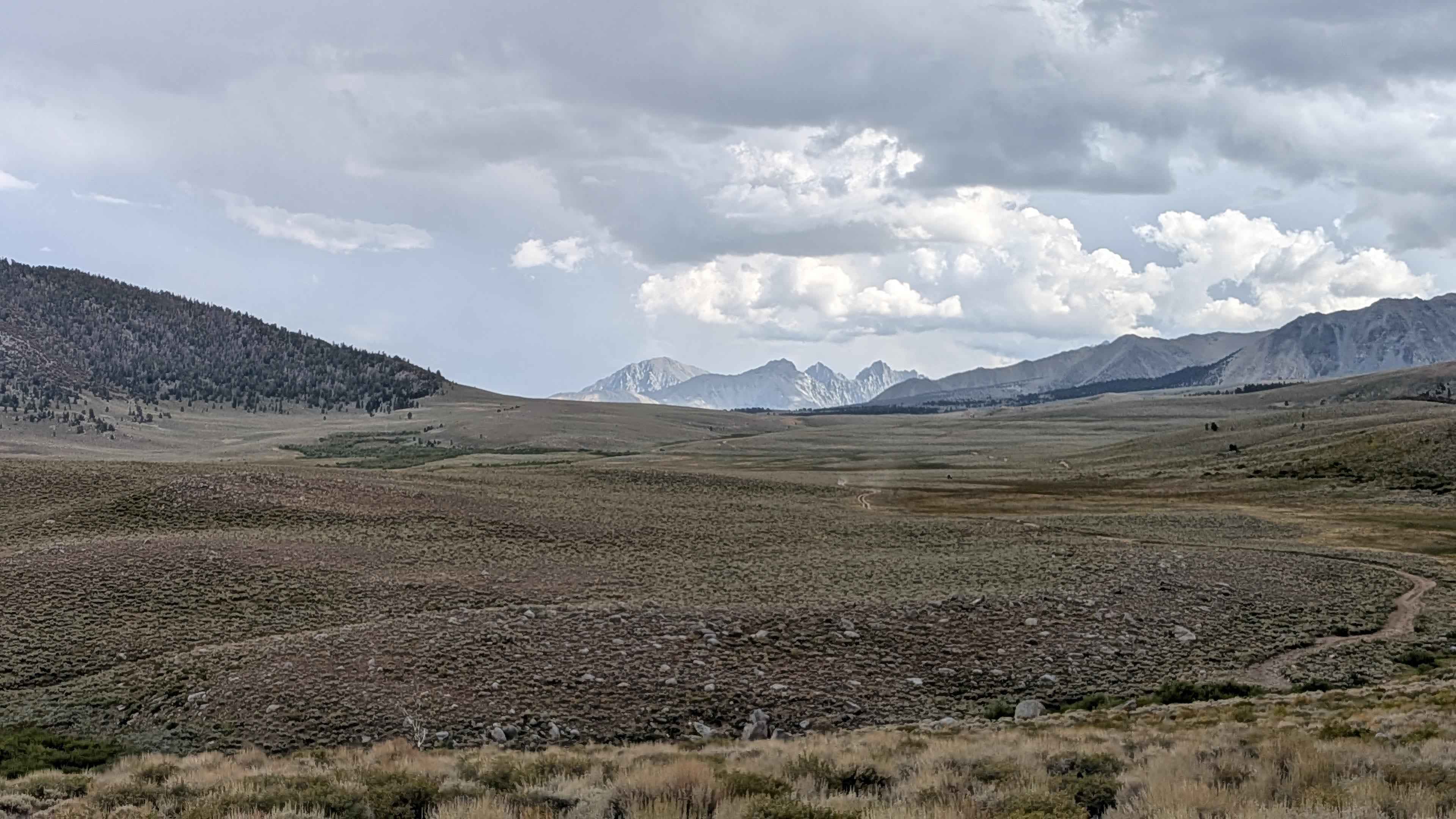
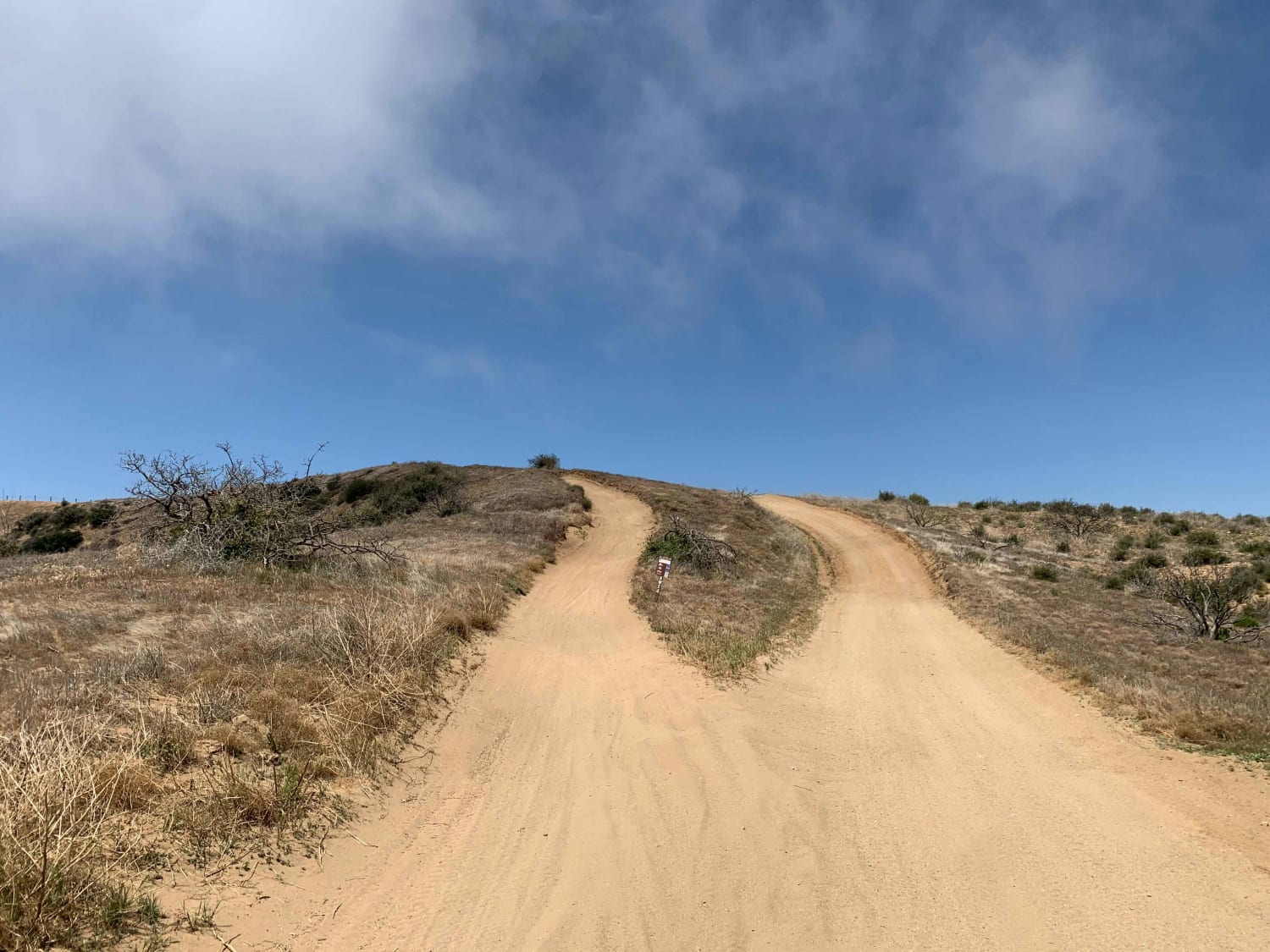
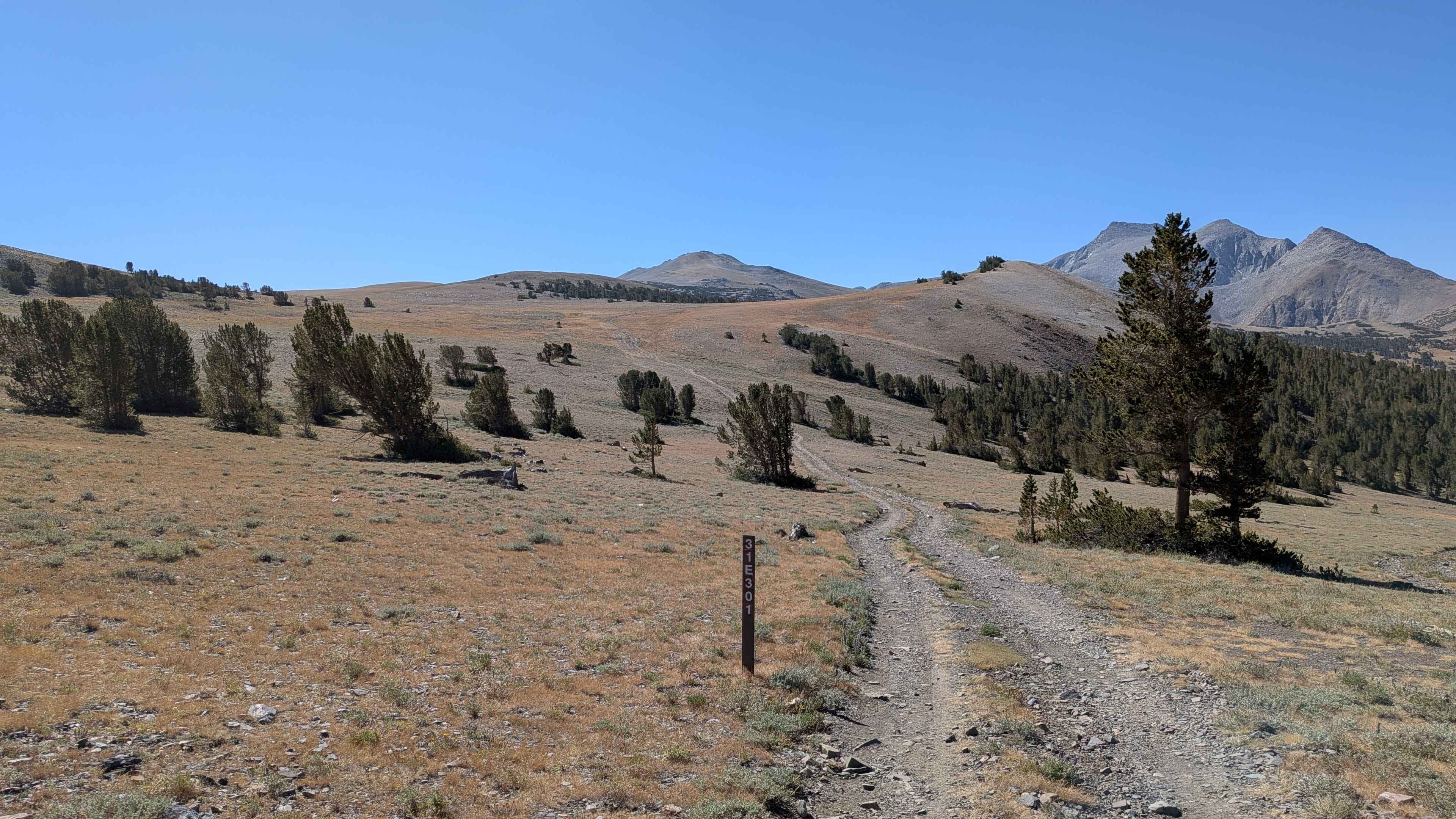
Trail Overview
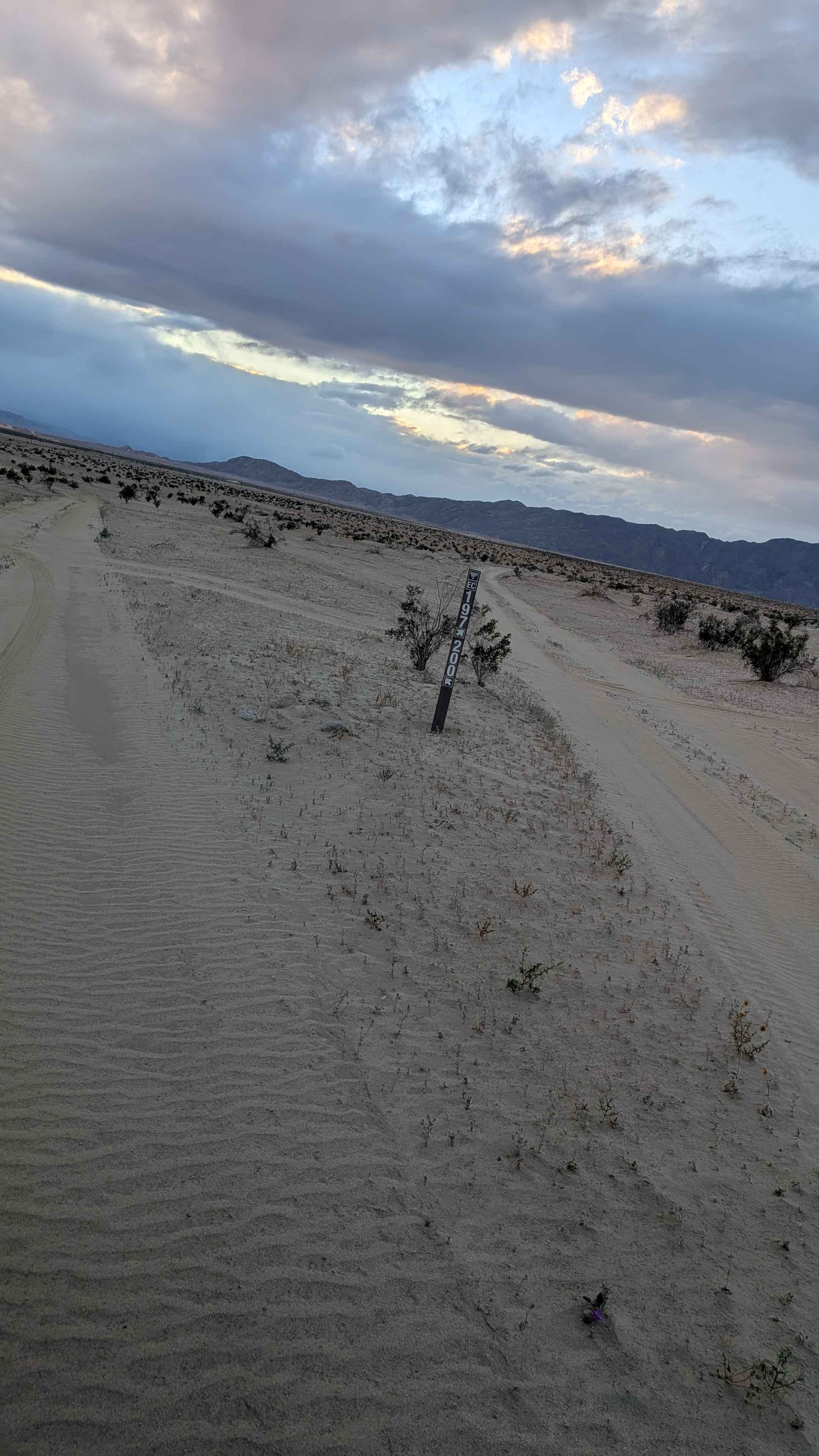
This sand and dirt trail is filled with embedded rocks of all sizes, from small loose chunks to larger boulders scattered along the way. It climbs nearly 800 feet in under 3 miles and rewards you with stunning views of the Eastern Sierras, the valley below, and the surrounding hills. The first 2 miles are relatively smooth with only a few large rocks to navigate. Around mile 1.5, the trail narrows dramatically and enters a rocky section where vehicles with wider stances will experience body rub from brush. Short sections of shelf road appear here, adding a bit of exposure. At mile 1.8, the trail crosses a small stream, complete with little waterfalls, before continuing into a scenic canyon lined with trees and brush. Expect off-camber stretches, dusty traffic, and sections of very sandy terrain. Wildflowers dot the route in season, bringing color to the rugged landscape.
Photos of FS 32E306
Difficulty
The combination of narrow passages, off-camber sections, embedded rocks, and short shelf roads makes this a moderately challenging trail. Good clearance, durable tires, and cautious driving are recommended.
FS 32E306 can be accessed by the following ride types:
- High-Clearance 4x4
- SUV
- SxS (60")
- ATV (50")
- Dirt Bike
FS 32E306 Map
Popular Trails

Sweetwater Ridge - FS 3S012
Desert Front Trail
The onX Offroad Difference
onX Offroad combines trail photos, descriptions, difficulty ratings, width restrictions, seasonality, and more in a user-friendly interface. Available on all devices, with offline access and full compatibility with CarPlay and Android Auto. Discover what you’re missing today!