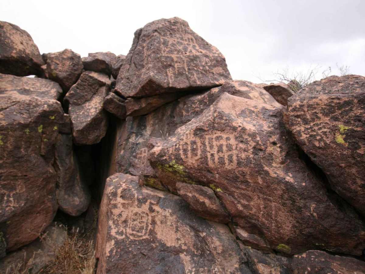
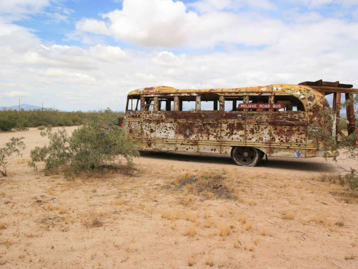
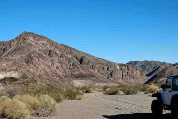
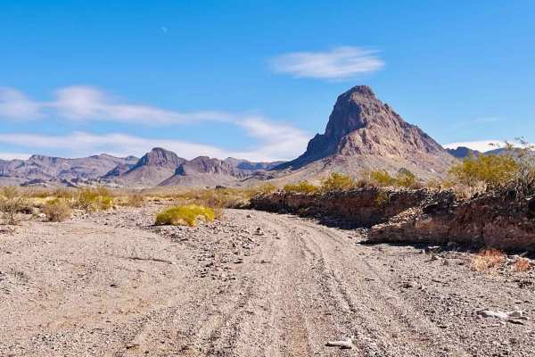
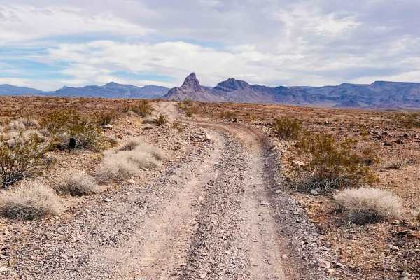
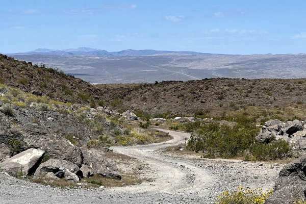
Trail Overview
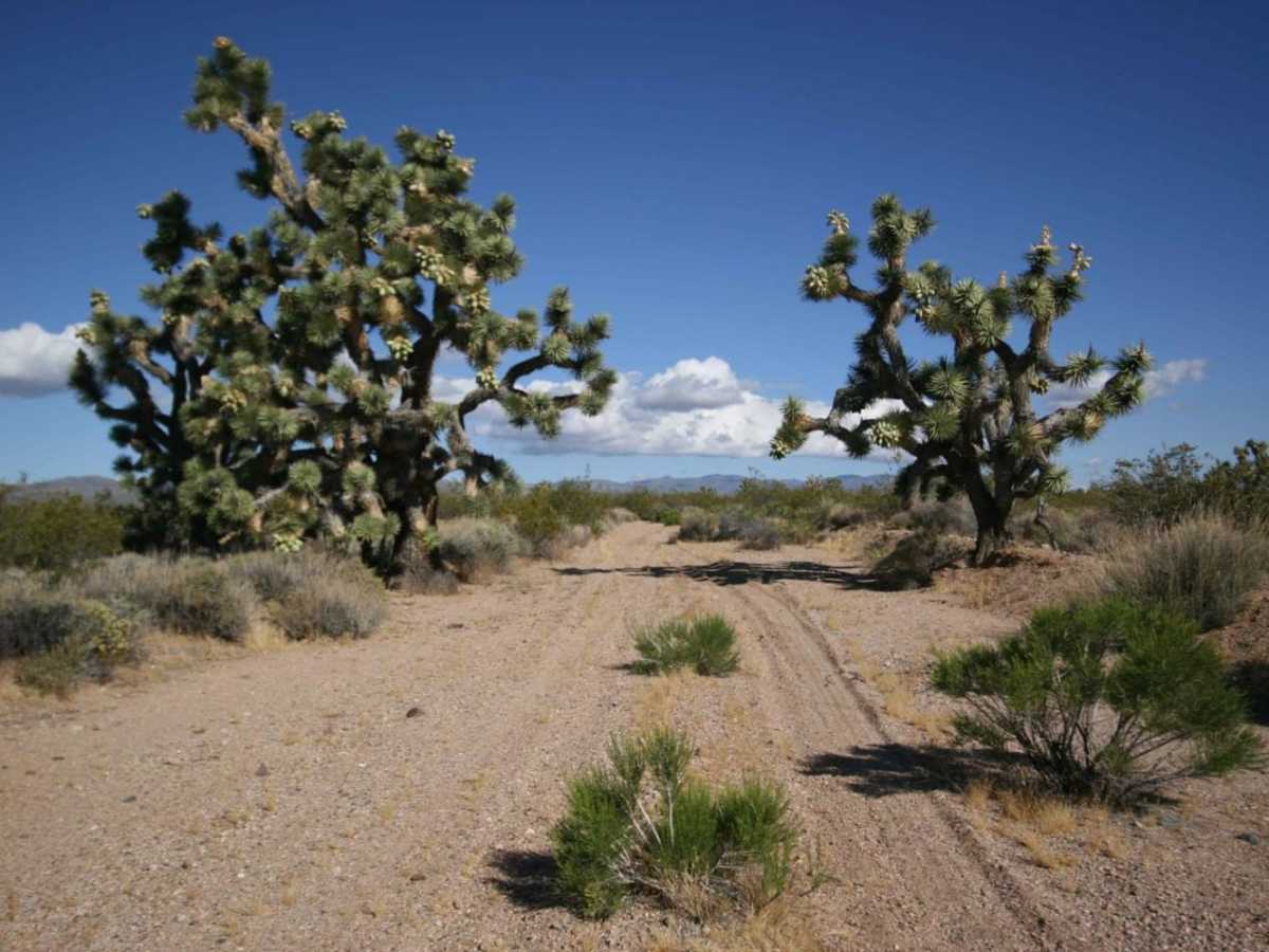
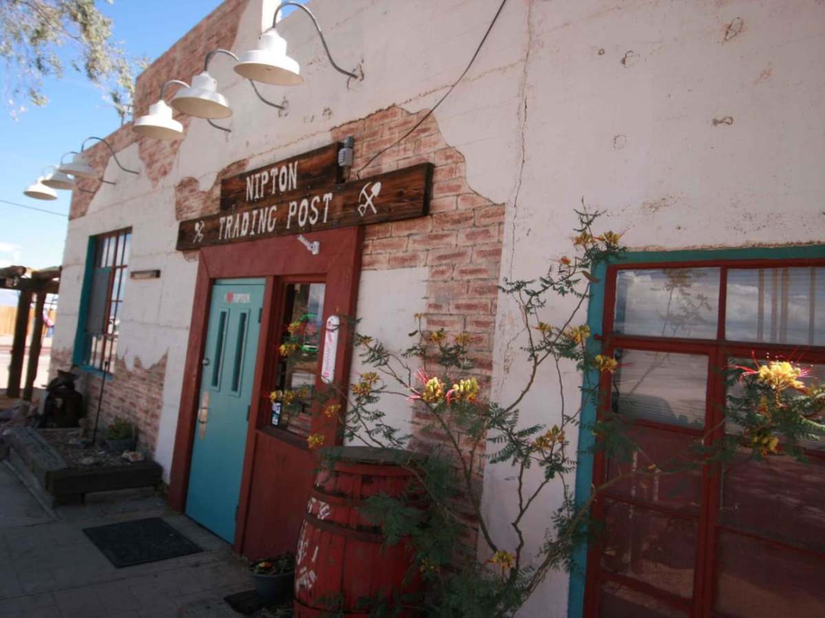
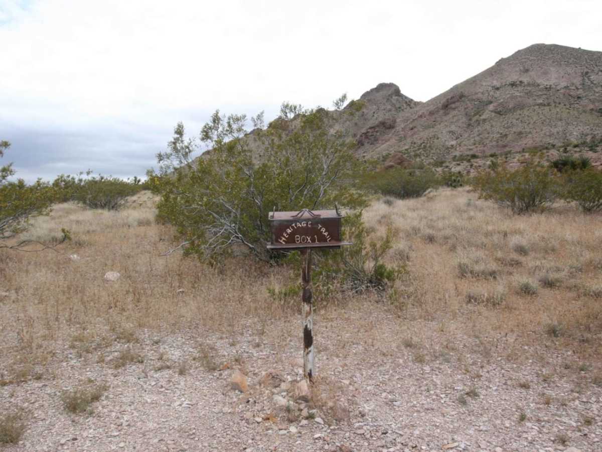
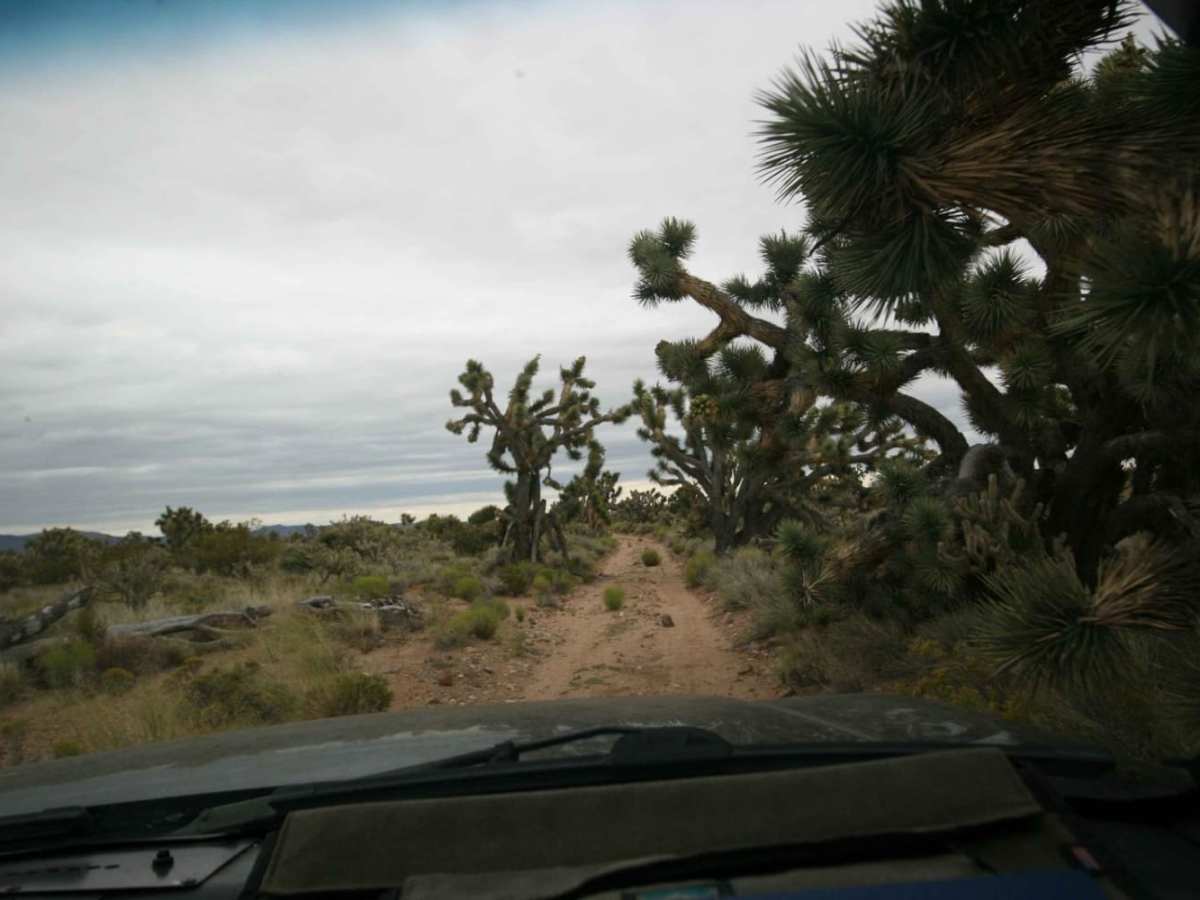
This is leg 1 of 4 to complete the entire East Mojave Heritage Trail (EMHT), which is a meandering and comprehensive tour of the Mojave Desert. Terrain will vary but is mostly hard pack. The scenery runs the gamut from wide-open desert expanses, towering mountain ranges, narrow canyons, and otherworldly Joshua Tree forests. Panoramic views, historical sites, amazing terrain, and a pretty cool trading post await the EMHT explorer on this leg. There is a mailbox placed in a remote location along the route to sign in. Overnight camping may be provided at the Goffs site with advanced notification (MDHCA.org), as well as in Caruthers Canyon. Dispersed camping is widely available. The EMHT Segment 1 traverses both BLM and NPS land, so understand where you are and follow the appropriate rules.
Difficulty
Most of the route is easy, but there is one section with steep ascents and descents. High clearance and at least one locker recommended though alternate routes are provided. The EMHT spends a disproportionate amount of time traversing washes, some of which there is no easy escape path. Pay very close attention to the weather as it can flash flood without warning.
History
The East Mojave Heritage Trail, created by Dennis Casebier in the 1980s, is a comprehensive tour through some of the most remote portions of the East Mojave Desert. In its original form, the EMHT covered 660.0 miles with four guidebooks providing historical facts, information on local flora and fauna, detailed geographic descriptions, as well as cumulative mileage along the route. With the implementation of the 1994 Desert Protection Act, and the establishment of the Mojave National Preserve, numerous Wilderness Areas cut the trail in at least 13 places, impacting a minimum of 75 miles - thus rendering the guidebooks useless as navigational aids. A recent expedition remapped the EMHT to account for current wilderness boundaries and modern points of interest along or near the route. In the interest of desert preservation and impact mitigation, in some areas, the original trail was rerouted onto a more established trail where there is no meaningful difference in the overall experience.