BLM SC103 North
Total Miles
3.8
Technical Rating
Best Time
Fall, Summer, Spring
Trail Type
Full-Width Road
Accessible By
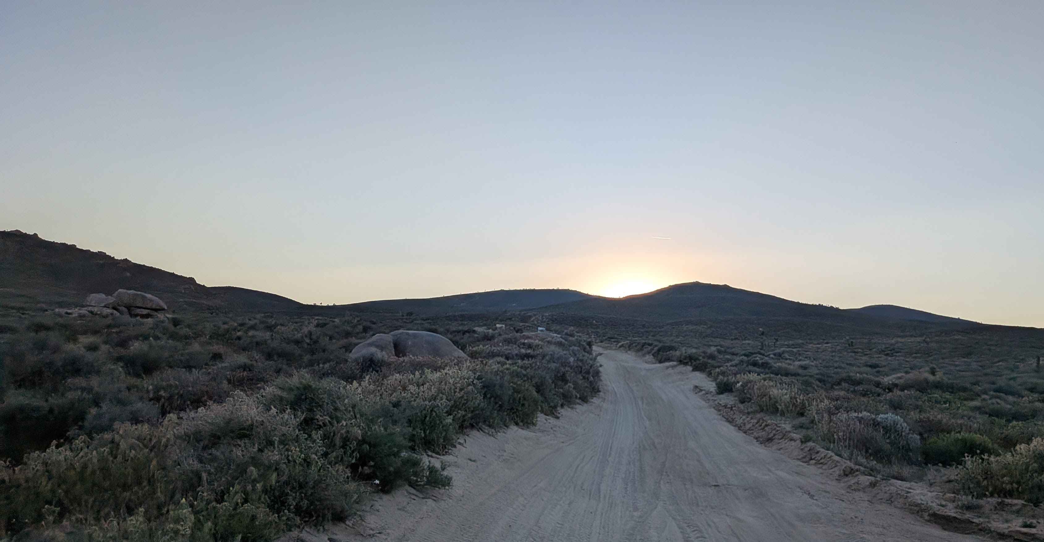
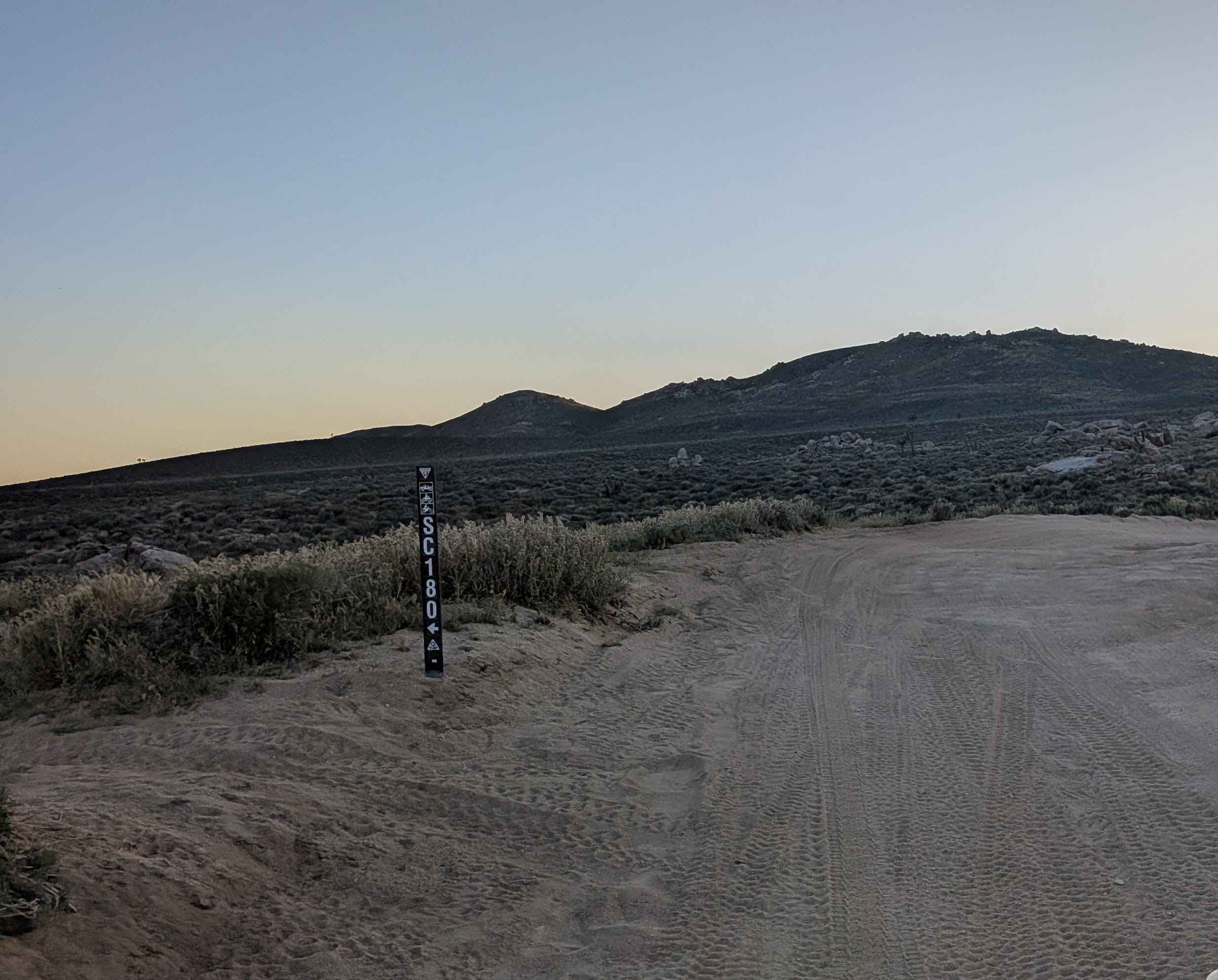
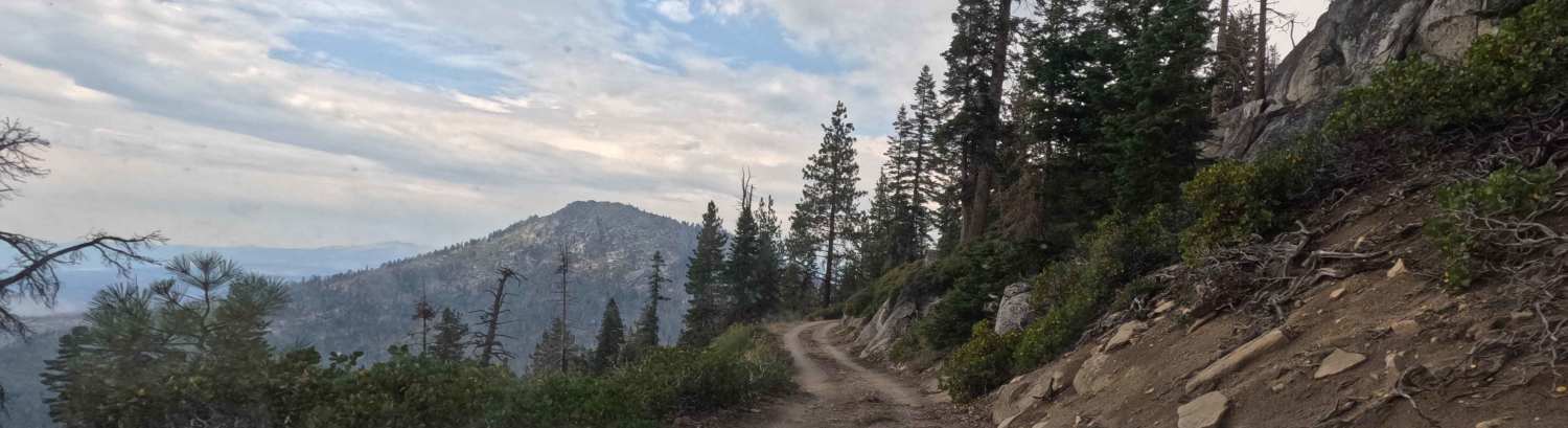
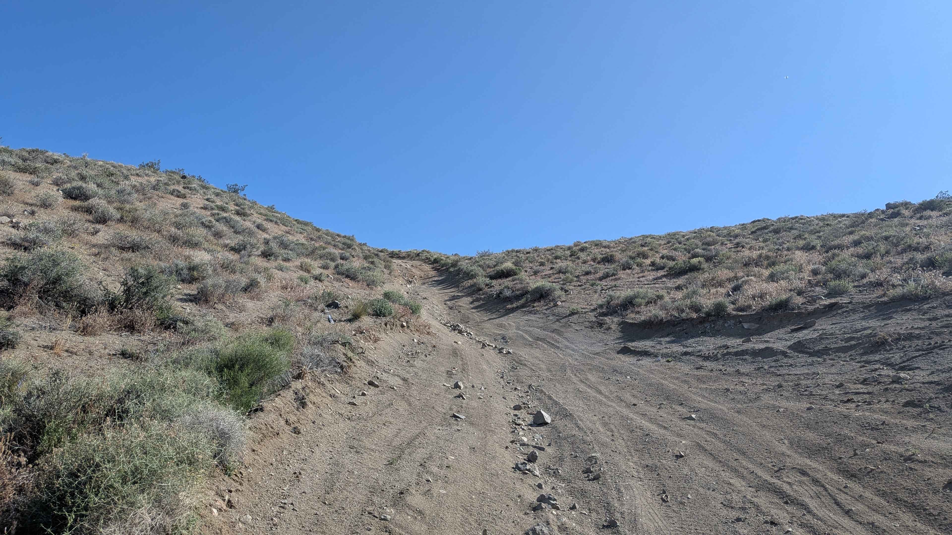
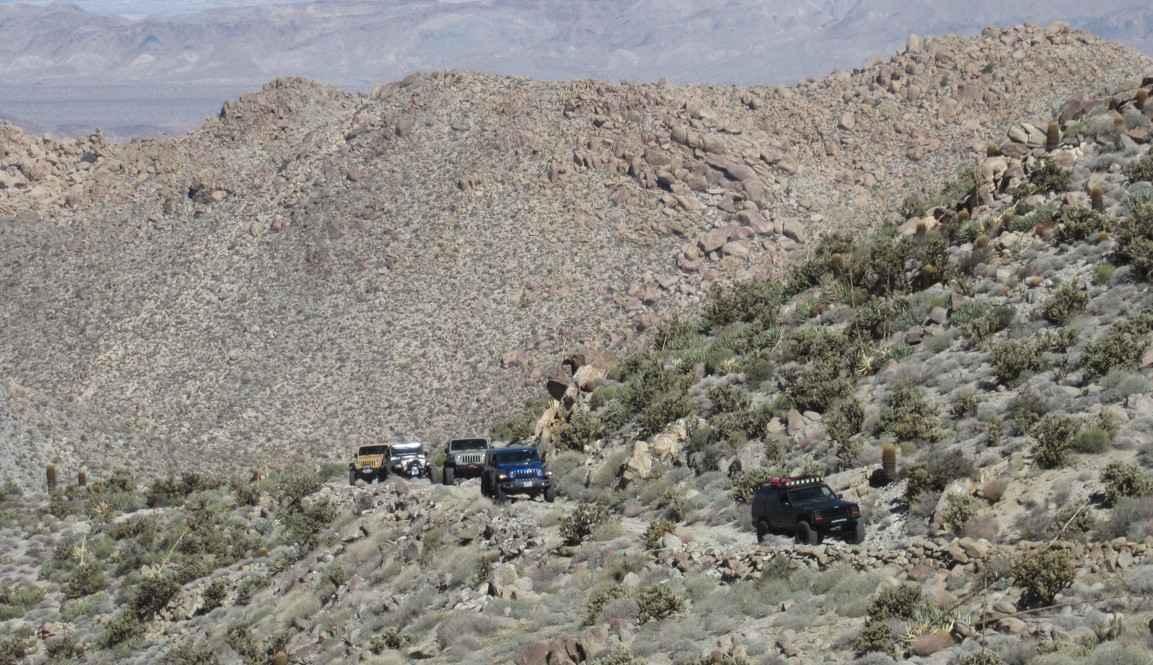
Trail Overview
Alternating between hard pack and soft sand at 1.5 to 2 vehicles wide, this route delivers beautiful views of the Eastern Sierras, the El Paso Mountains, and Red Rock Canyon State Park. Climbing high above the area and out of Dove Springs OHV riding area creates elevated vantage points across BLM and Eastern Kern County Onyx Ranch SVRA land. The last section drops down into a heavily treed area that can flood after storms, creating hazardous conditions when wet. Ruts, off-camber sections, whoops, and washboards plunge up to 18 inches throughout, creating serious obstacles.
Photos of BLM SC103 North
Difficulty
Those ruts, off-camber sections, whoops, and washboards up to 18 inches are severe obstacles demanding high clearance and skilled navigation repeatedly. The combination of hard pack and soft sand requires constant traction adjustment. Climbing high creates steep grades, while the heavily treed area that can flood after storms becomes impassable when wet. Timing after rain matters critically for that final section. The up to 18-inch obstacles, combined with flood potential and steep climbing, earn this legitimate 4 rating. Four wheel drive and high clearance are essential.
Status Reports
BLM SC103 North can be accessed by the following ride types:
- High-Clearance 4x4
- SUV
- SxS (60")
- ATV (50")
- Dirt Bike
BLM SC103 North Map
Popular Trails
Half Corral - FS 6S070X

SC251 Jawbone Road to Gold Canyon Road
Burro Schmidt Tunnel Alternative - BLM EP103
EC 33 Table Mountain
The onX Offroad Difference
onX Offroad combines trail photos, descriptions, difficulty ratings, width restrictions, seasonality, and more in a user-friendly interface. Available on all devices, with offline access and full compatibility with CarPlay and Android Auto. Discover what you’re missing today!