BLM 085 South
Total Miles
5.7
Technical Rating
Best Time
Winter, Fall, Spring
Trail Type
Full-Width Road
Accessible By
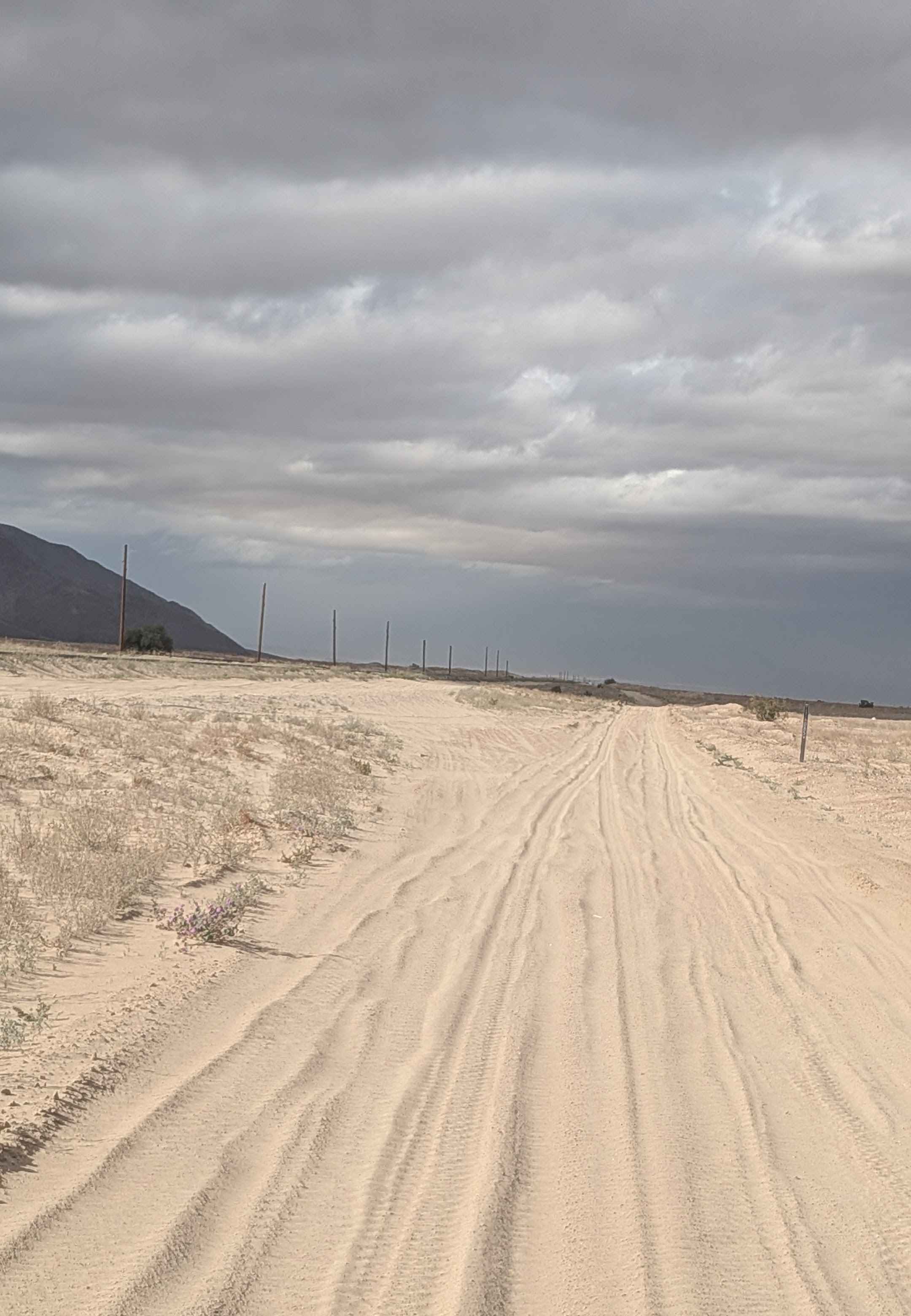
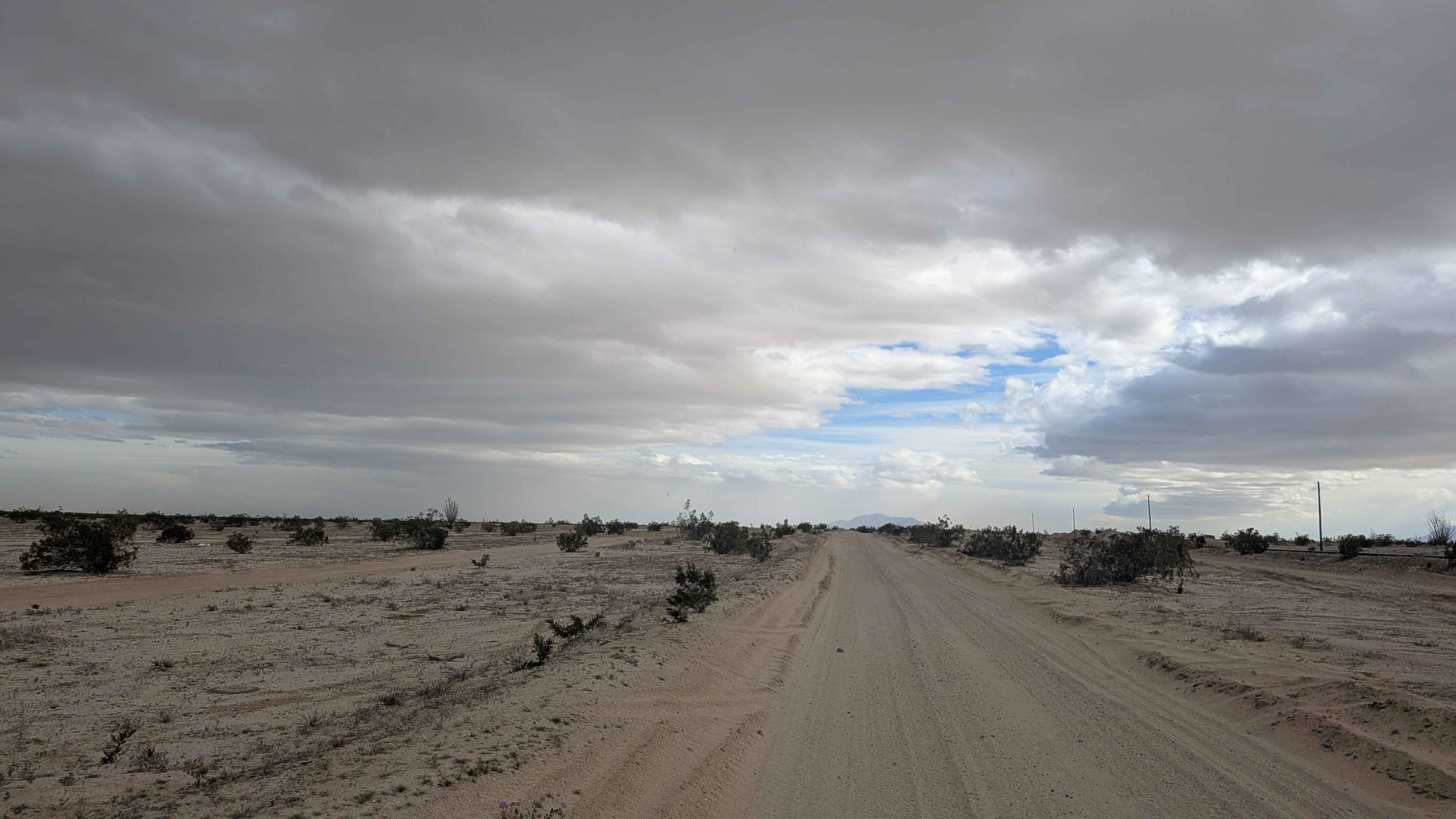
Trail Overview
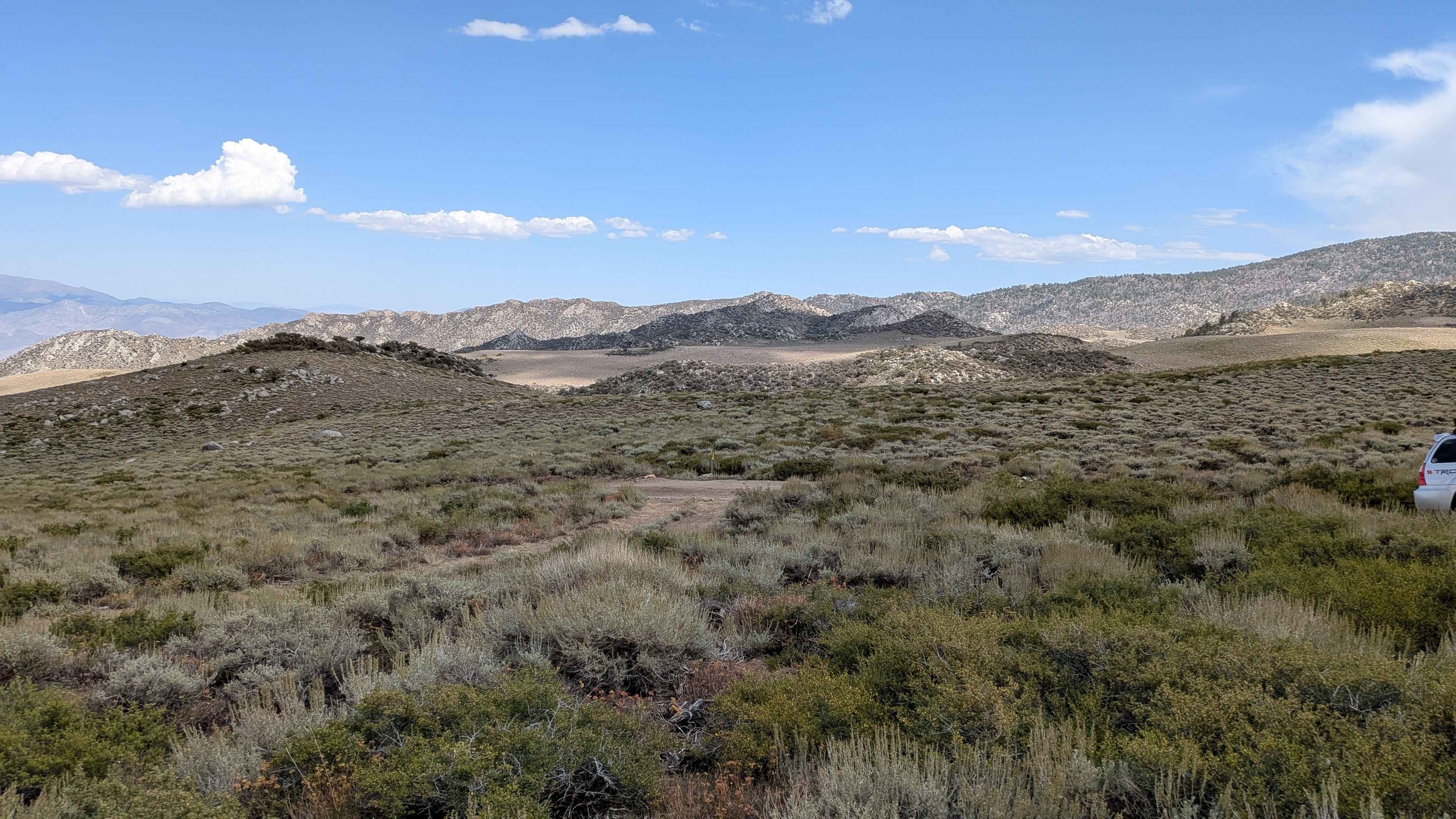
This one vehicle-wide trail features very fine sand that gets deep at times, requiring constant momentum management. The route is lined with creosote bushes throughout, creating a natural corridor. The trail runs parallel to the train tracks, providing an interesting industrial backdrop. You'll encounter some whoops and washboards scattered along the way, creating a bumpy ride. The Coyote Mountains are to your south, the Fish Lake Mountains are to your west, and Superstition Mountain is to your north, providing dramatic mountain views in multiple directions. The trail ends at the US Navy bombing range boundary, where no access is allowed.
Photos of BLM 085 South
Difficulty
The very fine sand that gets deep at times is the main challenge, requiring four wheel drive, and airing down is essential for maintaining traction. The one vehicle width leaves no room for error and demands precise navigation. The whoops and washboards add to the challenge and create a jarring ride. The deep sand sections can be particularly demanding and may require momentum recovery techniques. Respect the US Navy bombing range boundary at the end.
Status Reports
BLM 085 South can be accessed by the following ride types:
- High-Clearance 4x4
- SUV
- SxS (60")
- ATV (50")
- Dirt Bike
BLM 085 South Map
Popular Trails

Devil's Canyon Road
Panum Crater Pit - FS 1N30
The onX Offroad Difference
onX Offroad combines trail photos, descriptions, difficulty ratings, width restrictions, seasonality, and more in a user-friendly interface. Available on all devices, with offline access and full compatibility with CarPlay and Android Auto. Discover what you’re missing today!