BLM 617
Total Miles
1.4
Technical Rating
Best Time
Winter, Fall, Spring
Trail Type
Full-Width Road
Accessible By
Trail Overview
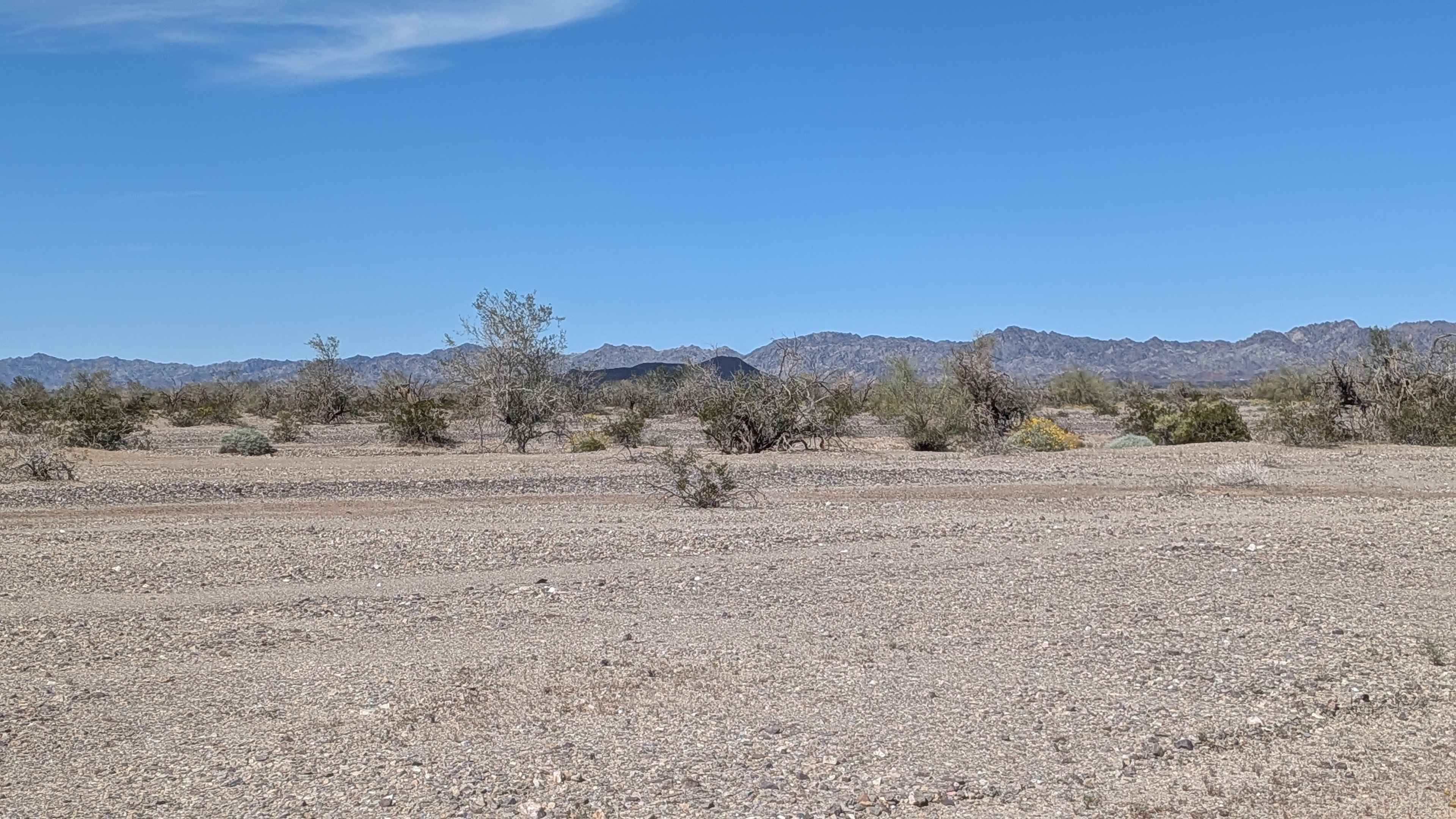
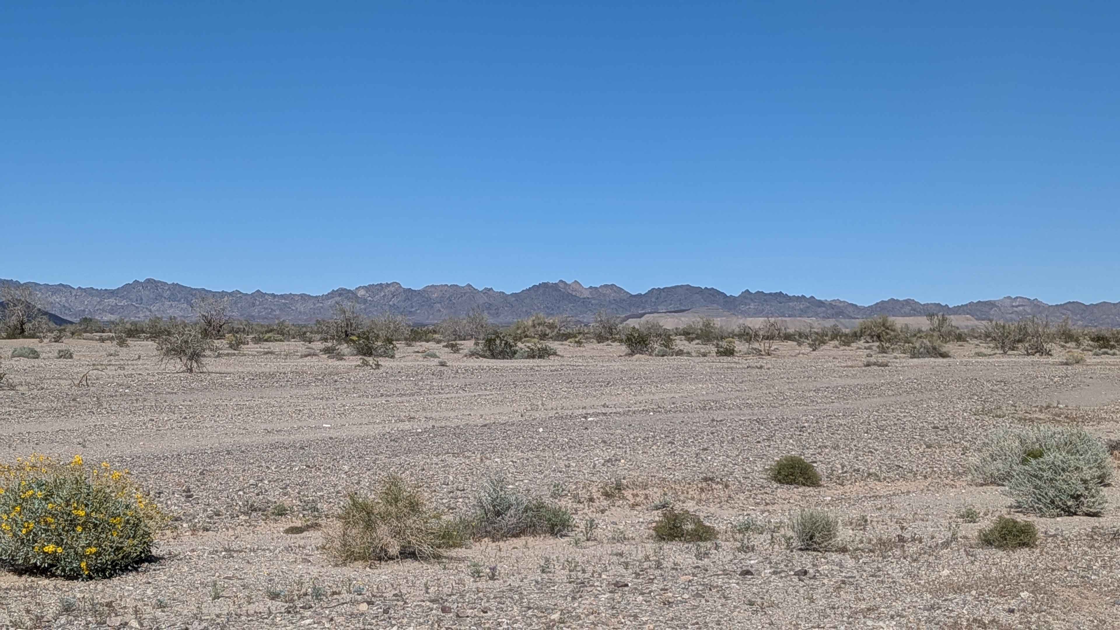
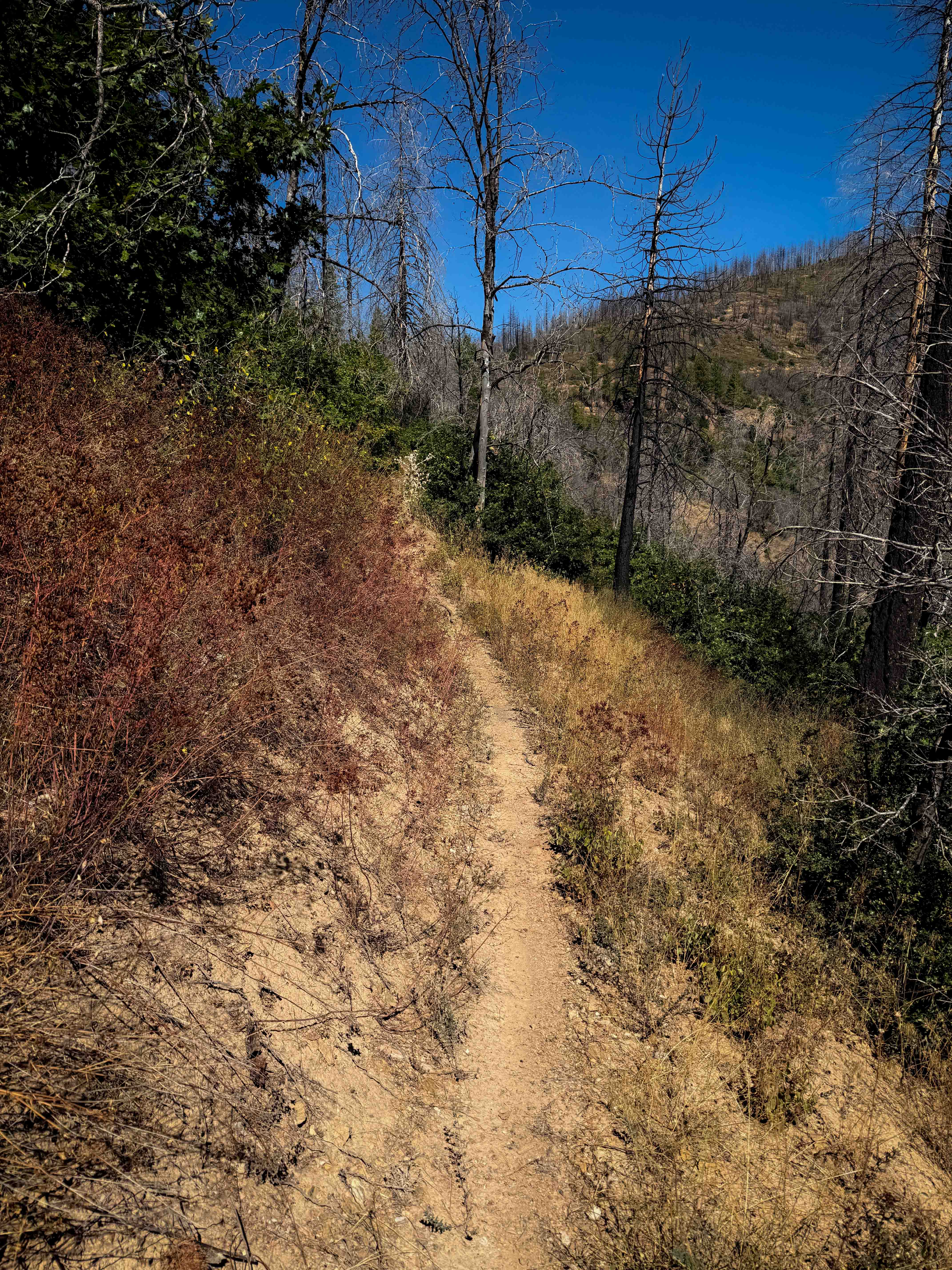
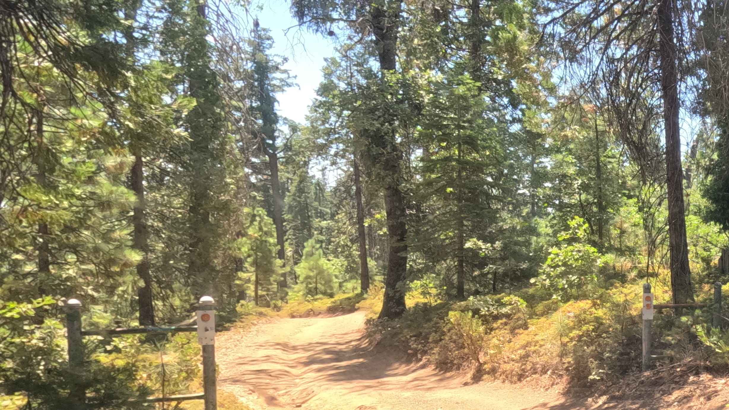
Connecting Highway 78 to a private property line, this seasonally graded sand and gravel route benefits from maintenance related to private land access. The Chocolate Mountains provide your backdrop throughout the journey. Large trees, desert bushes, and seasonally blooming wildflowers create an unusually lush corridor for this region. Dispersed camping opportunities abound along the BLM sections, making this popular for overnight staging. The trail crosses BLM 609 along its path. You're operating in the limited-use side of the Imperial Sand Dunes Recreation Area, so established trails only, no freelancing allowed.
Photos of BLM 617
Difficulty
The seasonal grading makes this one of the better-maintained routes in the area, keeping the surface smooth and manageable. Sand and gravel handle predictably. The private land access means someone cares about keeping this route passable. Respect the private property boundary at the end and don't trespass. Any vehicle with basic clearance navigates this easily, making it ideal for accessing those dispersed camping spots.
Status Reports
BLM 617 can be accessed by the following ride types:
- High-Clearance 4x4
- SUV
- SxS (60")
- ATV (50")
- Dirt Bike
BLM 617 Map
Popular Trails
Heartbreak Ridge
Lower Indian Falls Ridge
Ten Mile Spur - FS 5S062
The onX Offroad Difference
onX Offroad combines trail photos, descriptions, difficulty ratings, width restrictions, seasonality, and more in a user-friendly interface. Available on all devices, with offline access and full compatibility with CarPlay and Android Auto. Discover what you’re missing today!