Lower Indian Falls Ridge
Total Miles
3.4
Technical Rating
Best Time
Spring, Fall
Trail Type
Single Track
Accessible By
Trail Overview
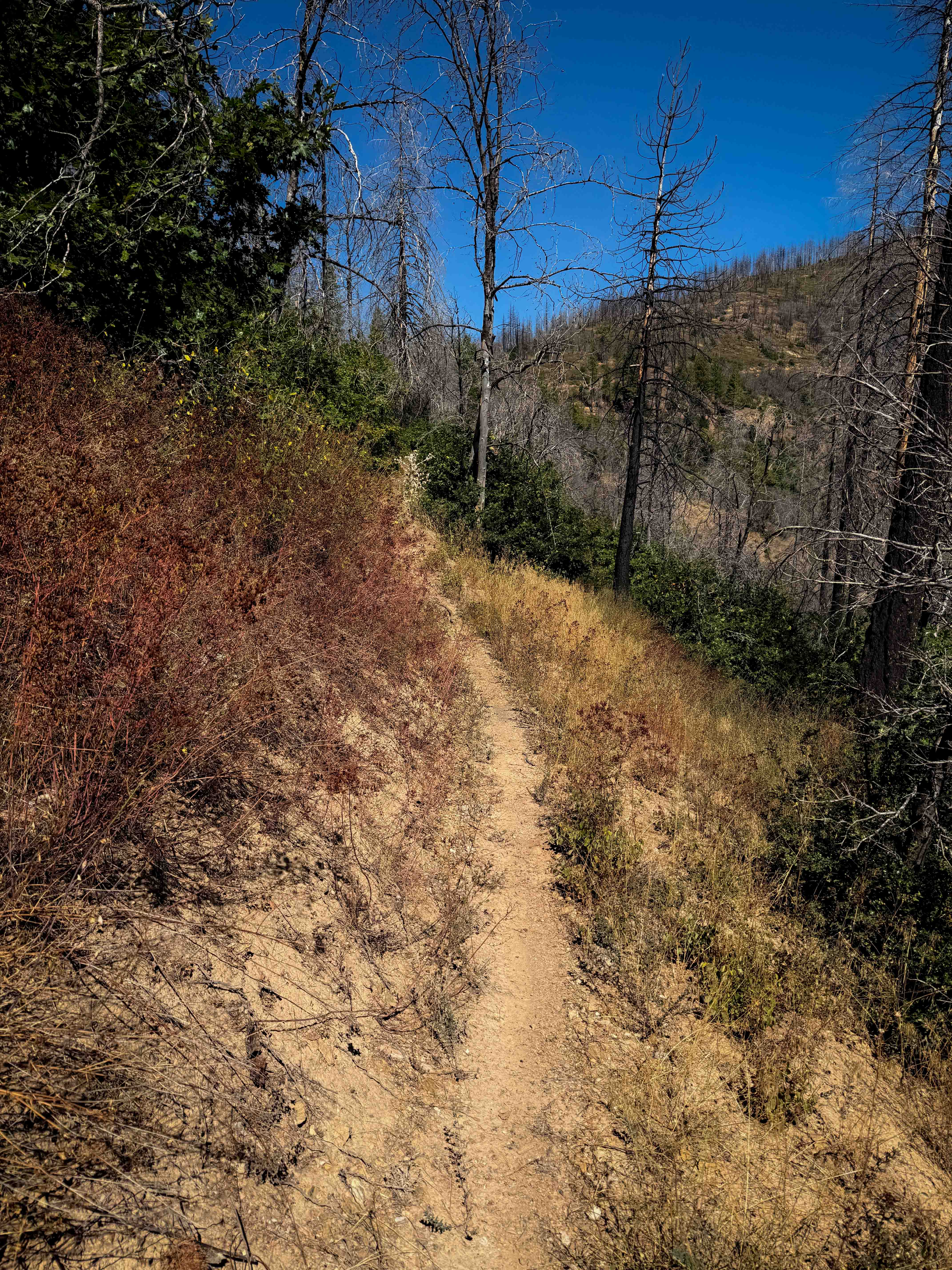
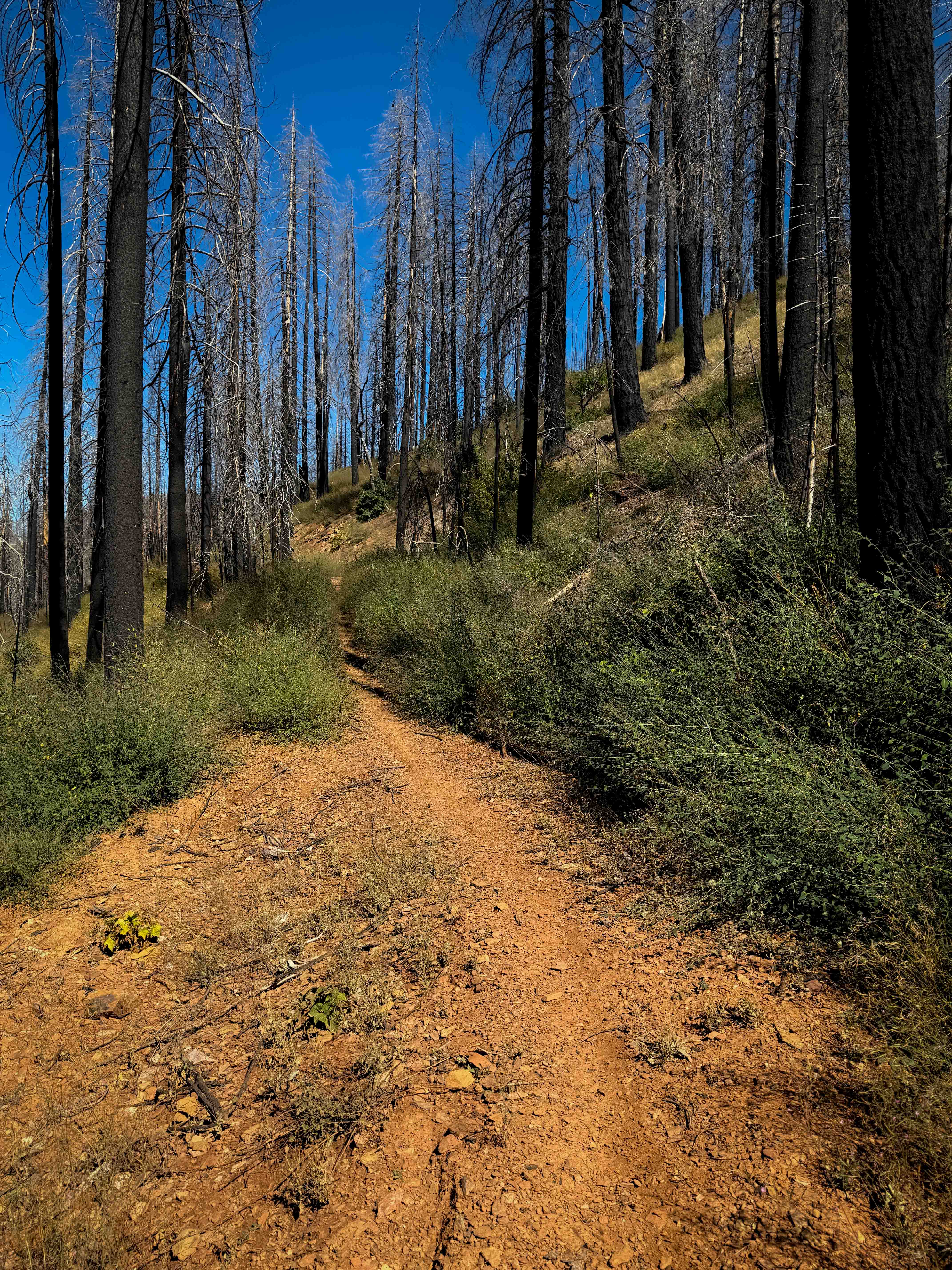
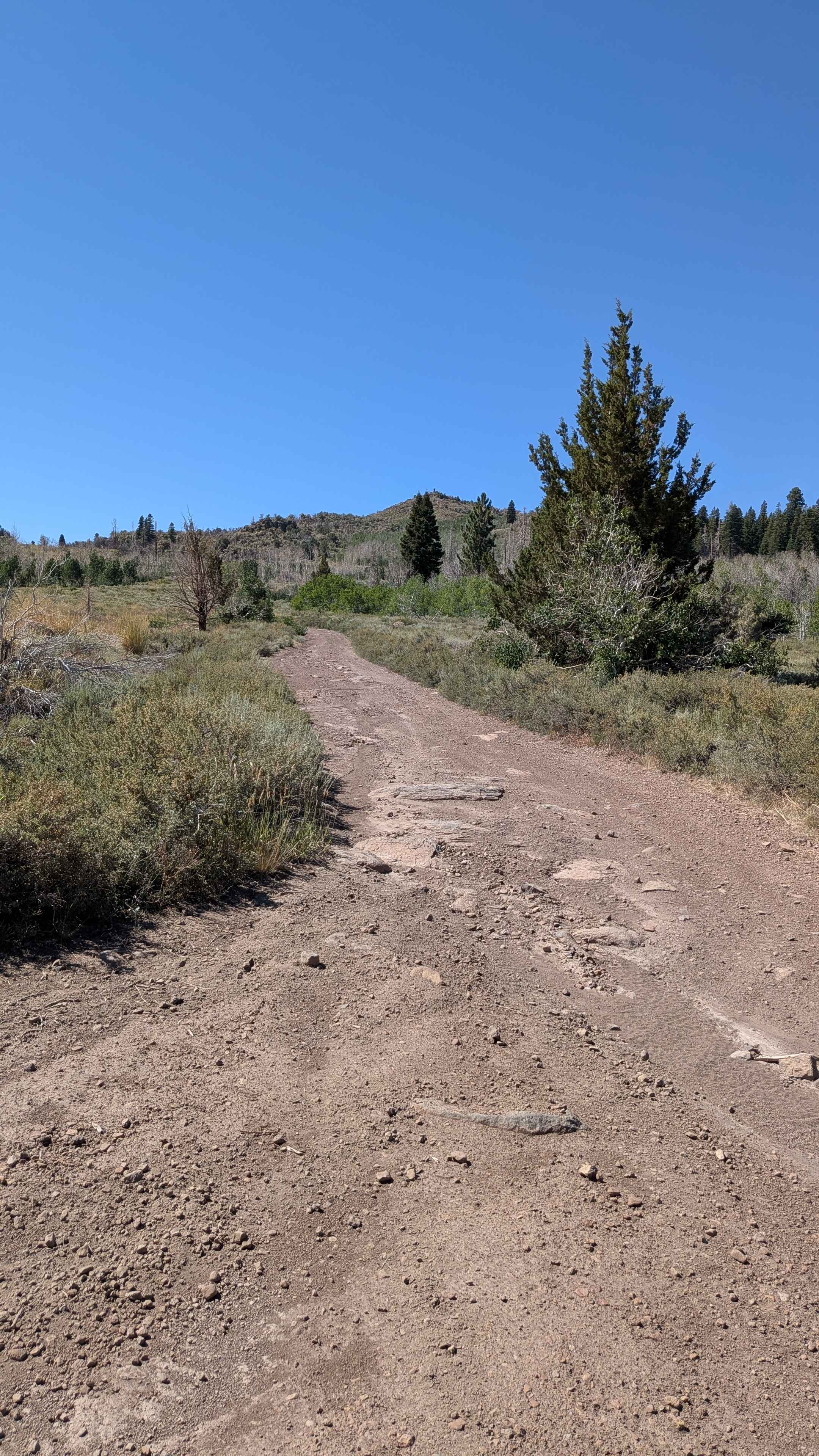
This is a fun singletrack accessed from the west side of the trail system that goes through dry and grassy terrain. The trailhead is on the corner of a switchback on 25N14 road, and it starts by going over a bunch of loose rock for the first couple turns of the trail as it gradually switchbacks up the hillside. It has narrow and shelfy sections throughout the route, but only mild exposure. The trail is pretty gradual for the 3.4 miles as it keeps ascending up the hillside, under black oak trees, but with lots of sun exposure. It crosses the road again and then goes out onto a wider shelf that is tightly lined with tall shrubs that block visibility at times, going through an extensive burn area with potential for downed logs. There's big banked corners on the eastern end of the trail as it winds uphill to the intersection with Indian Falls Ridge and Acorn Grotto.
Photos of Lower Indian Falls Ridge
Difficulty
This trail is relatively easy and ideal for riders with less experience, as it stays pretty wide and gradual the whole time, with big banked corners and minor rocks. There is a bit of loose rock on the west end, and mild exposure throughout the route to be aware of.
Status Reports
Lower Indian Falls Ridge can be accessed by the following ride types:
- Dirt Bike
Lower Indian Falls Ridge Map
Popular Trails
Racetrack Valley Road North
Paper Cabin Ridge Trail
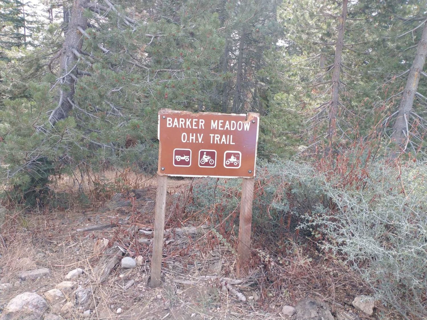
Barker Meadows OHV Trail
Big Spring Spur Road
The onX Offroad Difference
onX Offroad combines trail photos, descriptions, difficulty ratings, width restrictions, seasonality, and more in a user-friendly interface. Available on all devices, with offline access and full compatibility with CarPlay and Android Auto. Discover what you’re missing today!