Bottle Hill
Total Miles
10.6
Technical Rating
Best Time
Spring, Summer, Fall
Trail Type
Full-Width Road
Accessible By
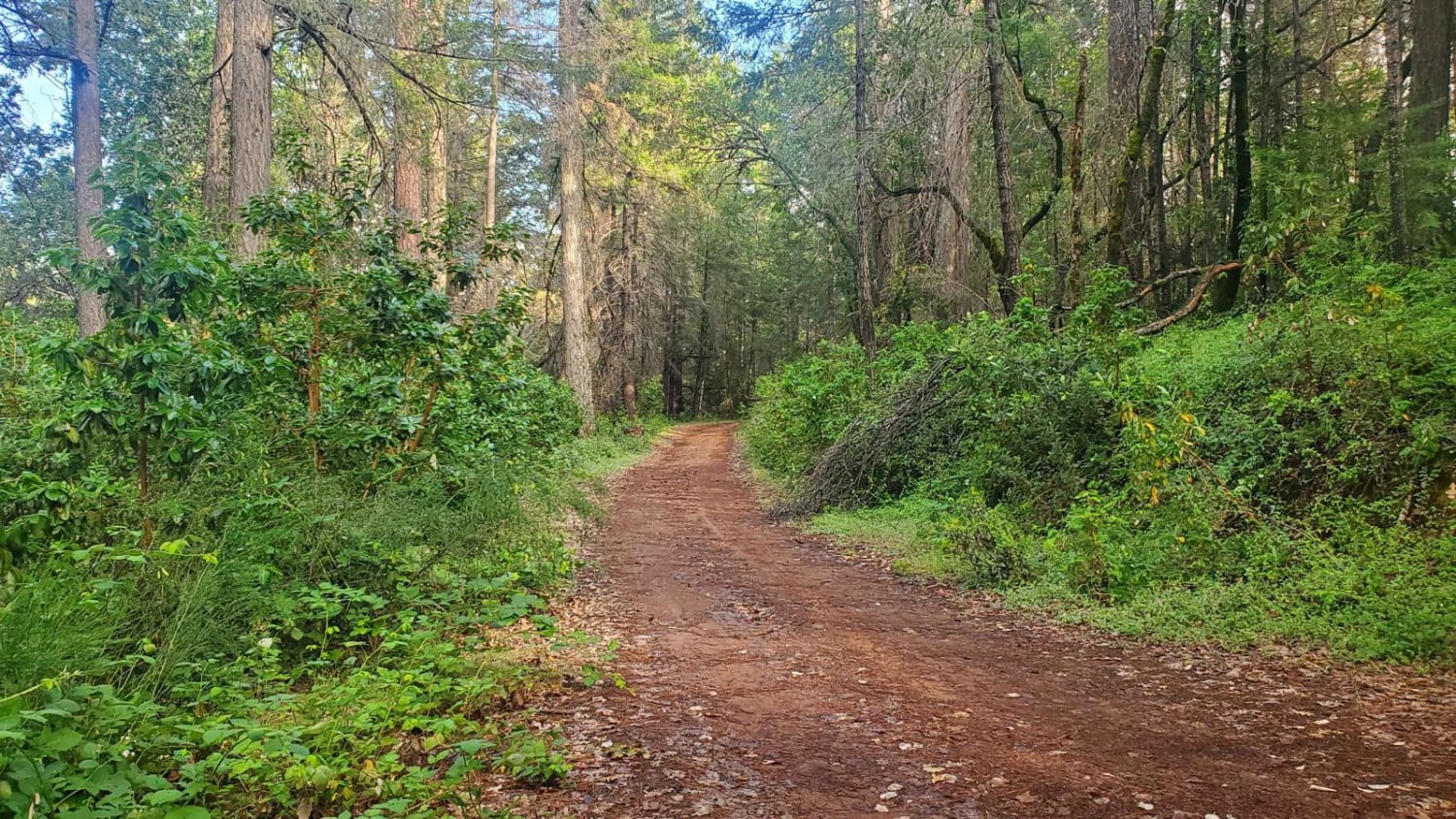
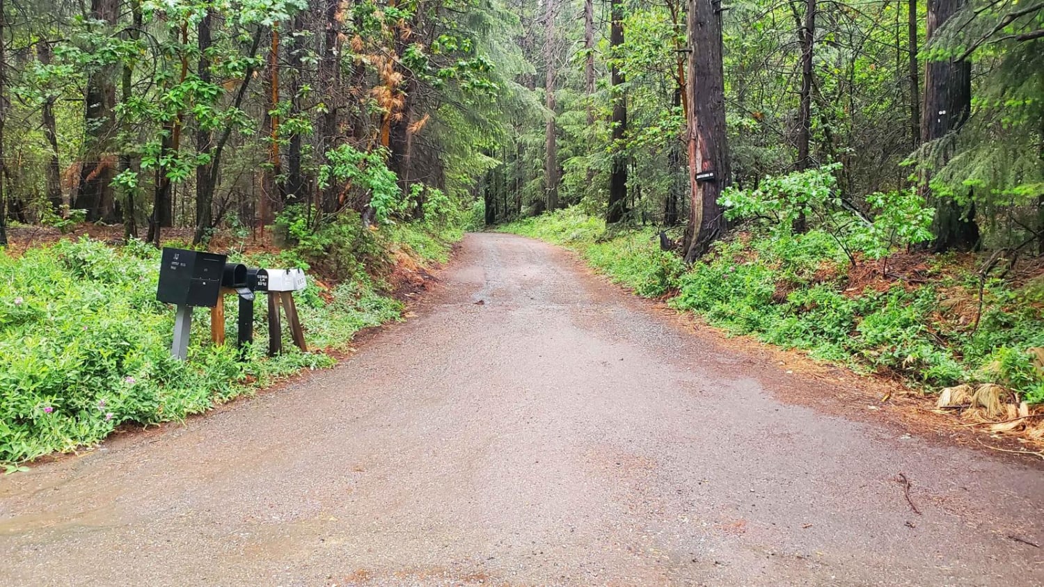
Trail Overview
Bottle Hill is a good trail to learn how your vehicle feels on dirt, rock, and mud; or to check the off-road capability of your vehicle after making modifications or repairs. It is also a nice, relaxing trail to run for more experienced off-roaders. There is a cellular signal from multiple carriers throughout most of the trail, with plenty of spots to pull over and take a break. There are multiple roads and trails that split off the main trail, as well as many private property entrances. While dry, this is an easy trail that can be completed with high-clearance 2WD vehicles. When wet, there are a few hills that become muddy and difficult in 2WD.
Photos of Bottle Hill
Difficulty
While the trail can be completed in a stock truck in 2WD on a good day, AWD or 4WD with all-terrain tires is highly recommended. The terrain varies between dirt, rock, and mud.
Status Reports
Bottle Hill can be accessed by the following ride types:
- High-Clearance 4x4
- SUV
- SxS (60")
- ATV (50")
- Dirt Bike
Bottle Hill Map
Popular Trails
Pinnacles to Spangler Hills OHV Area
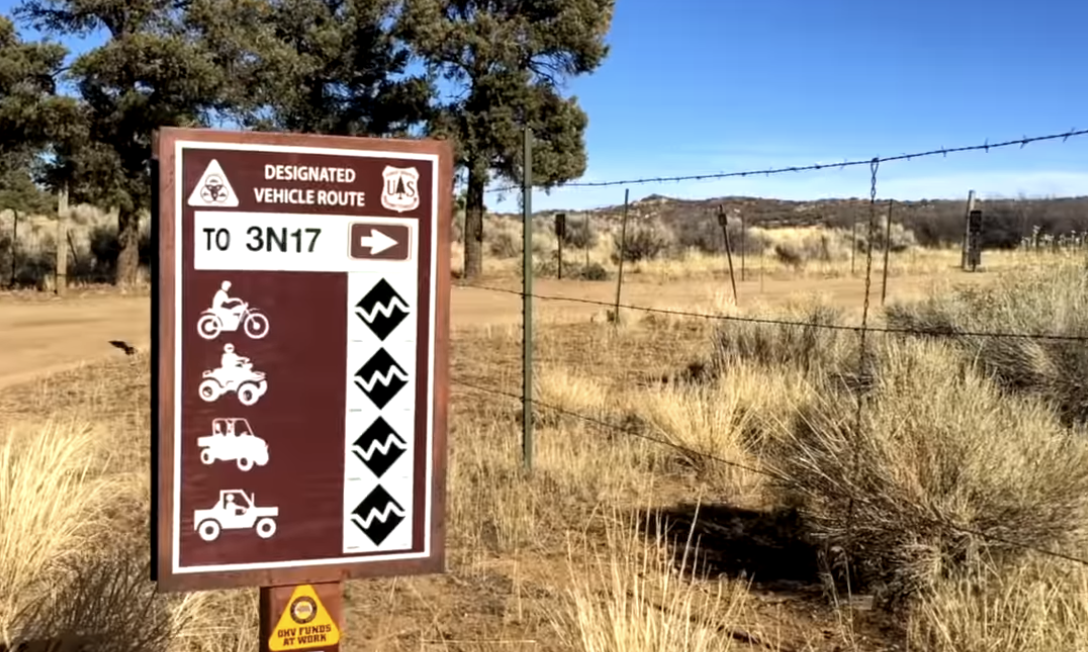
White Mountain - FS 3N17

McGee Canyon West

Norris Lake - FS 5S086
The onX Offroad Difference
onX Offroad combines trail photos, descriptions, difficulty ratings, width restrictions, seasonality, and more in a user-friendly interface. Available on all devices, with offline access and full compatibility with CarPlay and Android Auto. Discover what you’re missing today!