Borderline 4WD - FS 32E42
Total Miles
2.2
Technical Rating
Best Time
Fall, Summer, Spring
Trail Type
Full-Width Road
Accessible By
Trail Overview
Borderline 4WD (FS 32E42) is one of the most demanding trails in the network, departing from Sawmill Road and climbing nearly 2,500 feet in just under 6 miles with only modest elevation relief along the way. The trail is maintained by the Trailblazers 4x4 Club and lives up to its name at every turn. The route throws a relentless combination of steep uphills and downhills, deep ruts, off-camber sections, and water crossings throughout its length. This is not a trail to underestimate or attempt without a fully capable and well-equipped rig.
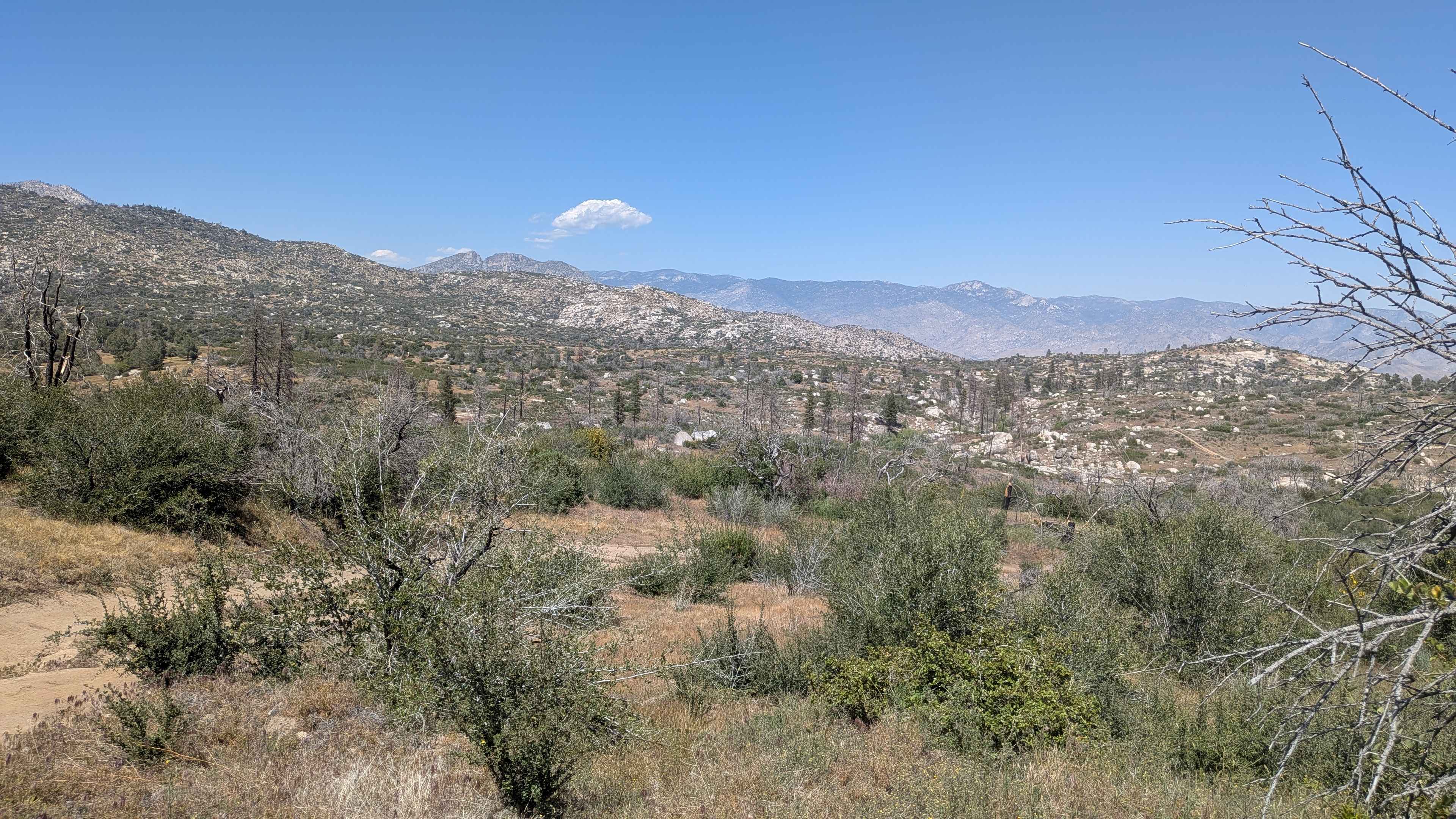
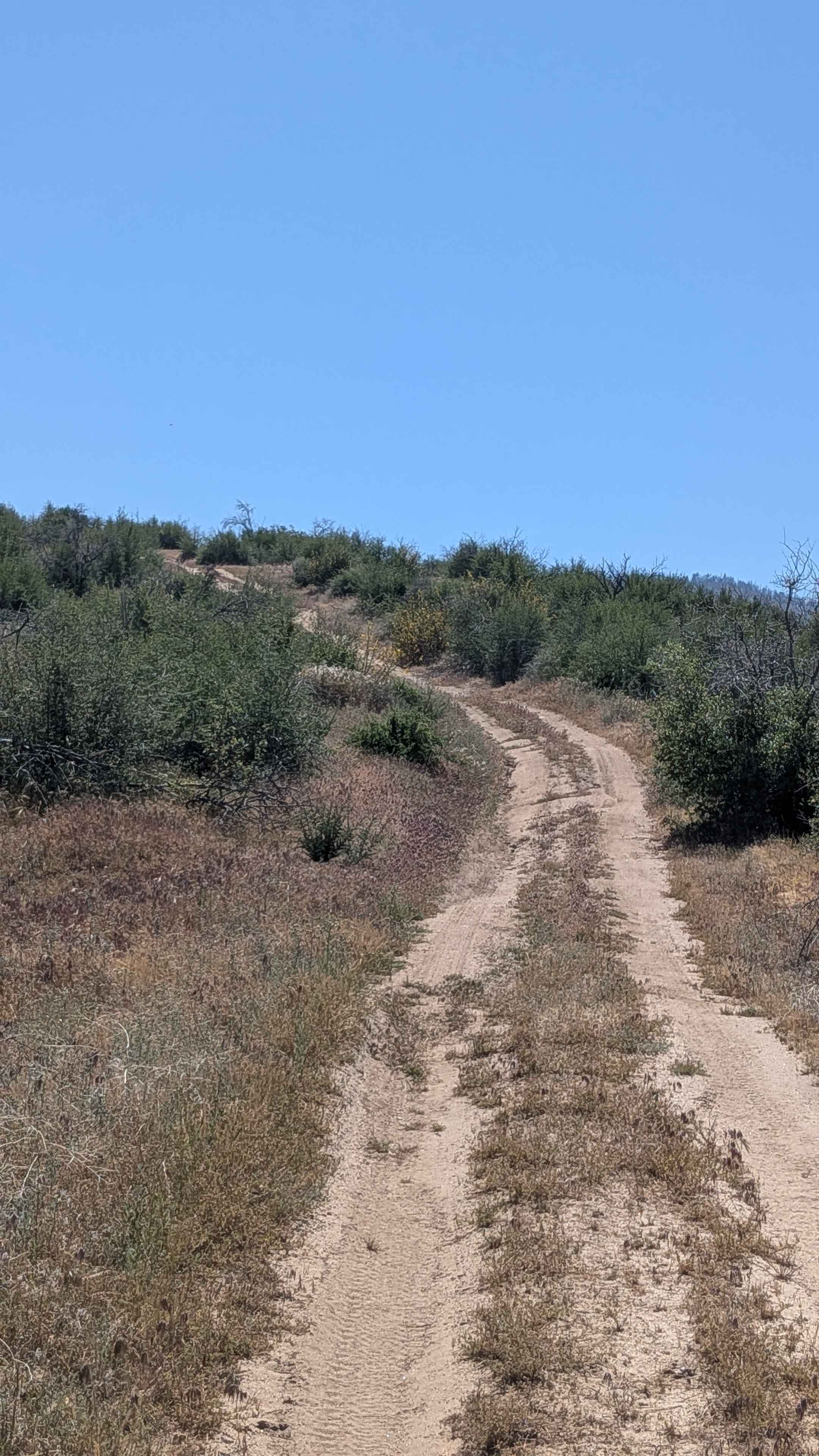
Photos of Borderline 4WD - FS 32E42
Difficulty
Borderline 4WD rates a 5. Ruts exceeding 2 feet deep appear frequently and represent the defining challenge of the route. Steep uphill and downhill sections combined with off-camber terrain demand precise vehicle control throughout. Water crossings add an additional variable depending on the season and recent rainfall. High clearance 4x4 is required. 4-low, lockers, and traction control systems are strongly recommended and will make a meaningful difference on the steeper and more rutted sections. This trail is not suitable for stock or mildly modified vehicles.
Status Reports
Borderline 4WD - FS 32E42 can be accessed by the following ride types:
- High-Clearance 4x4
- SUV
- SxS (60")
- ATV (50")
- Dirt Bike
Borderline 4WD - FS 32E42 Map
Popular Trails
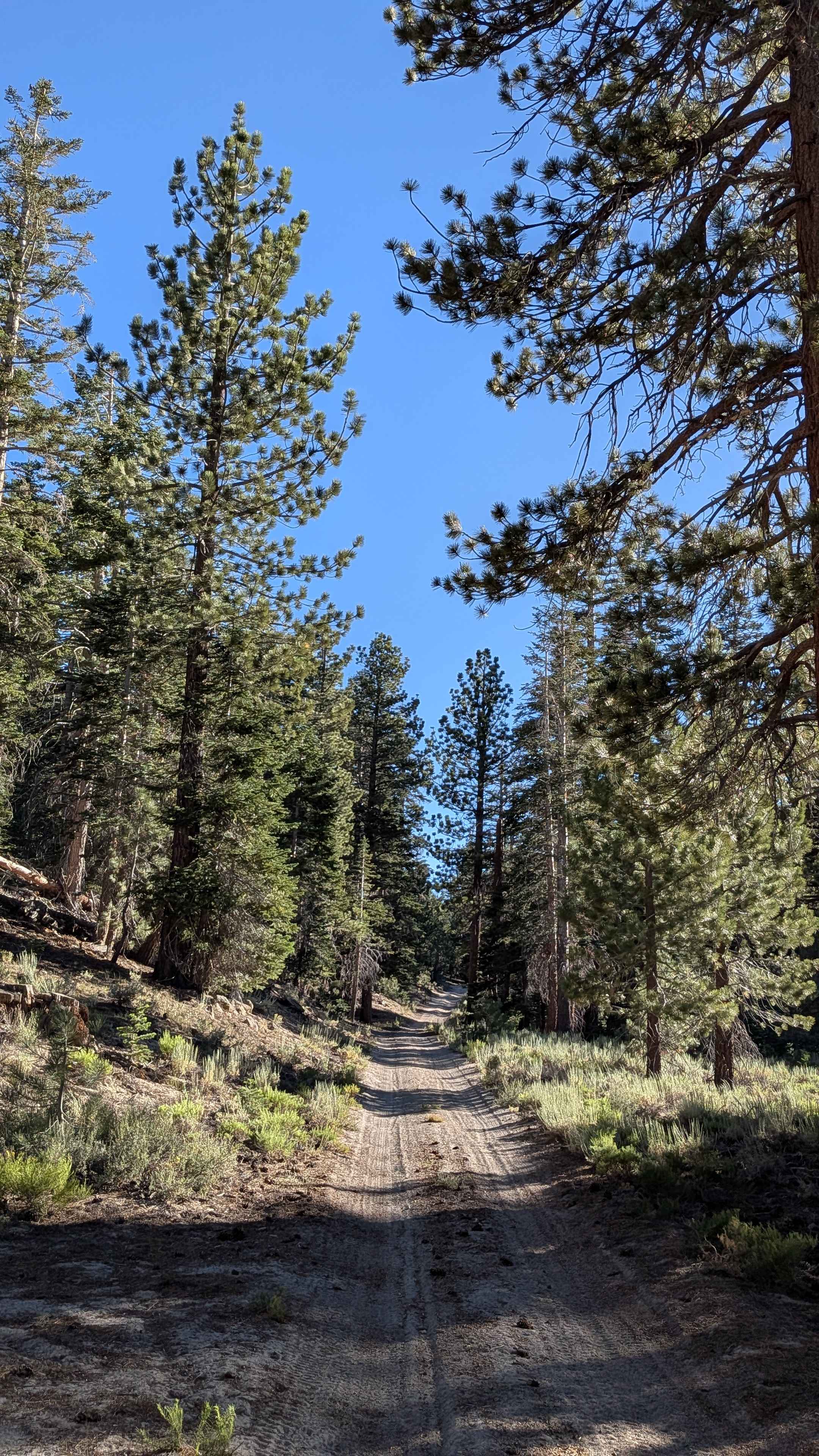
Red Fir Road - FS3S24
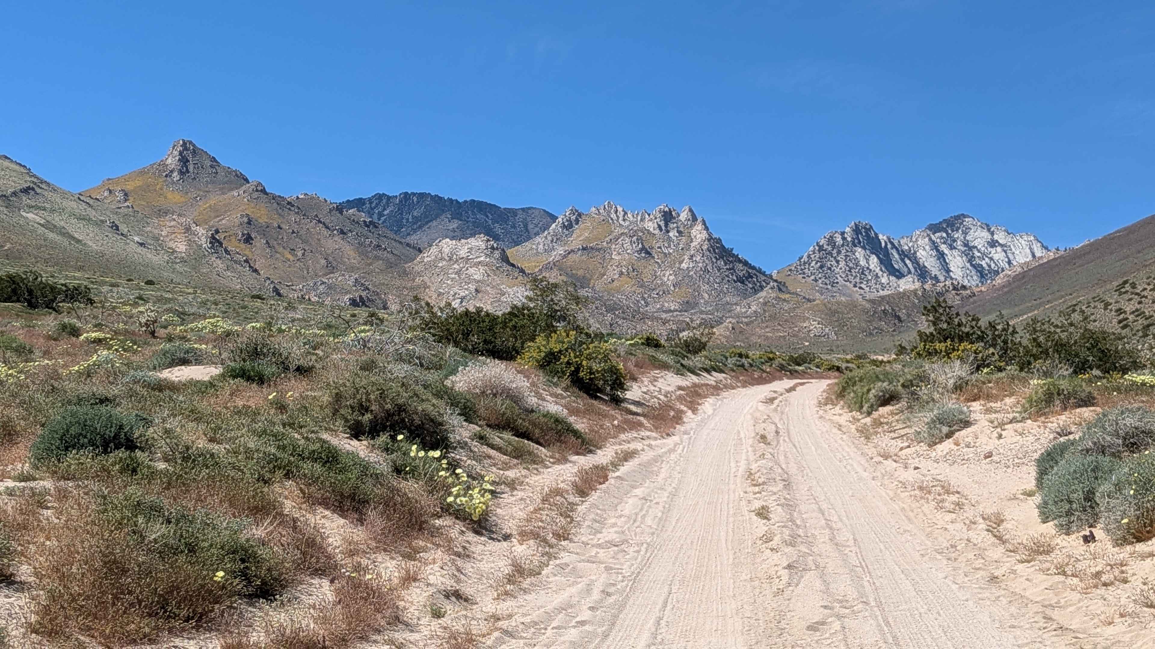
Short Canyon Road - BLM SE138
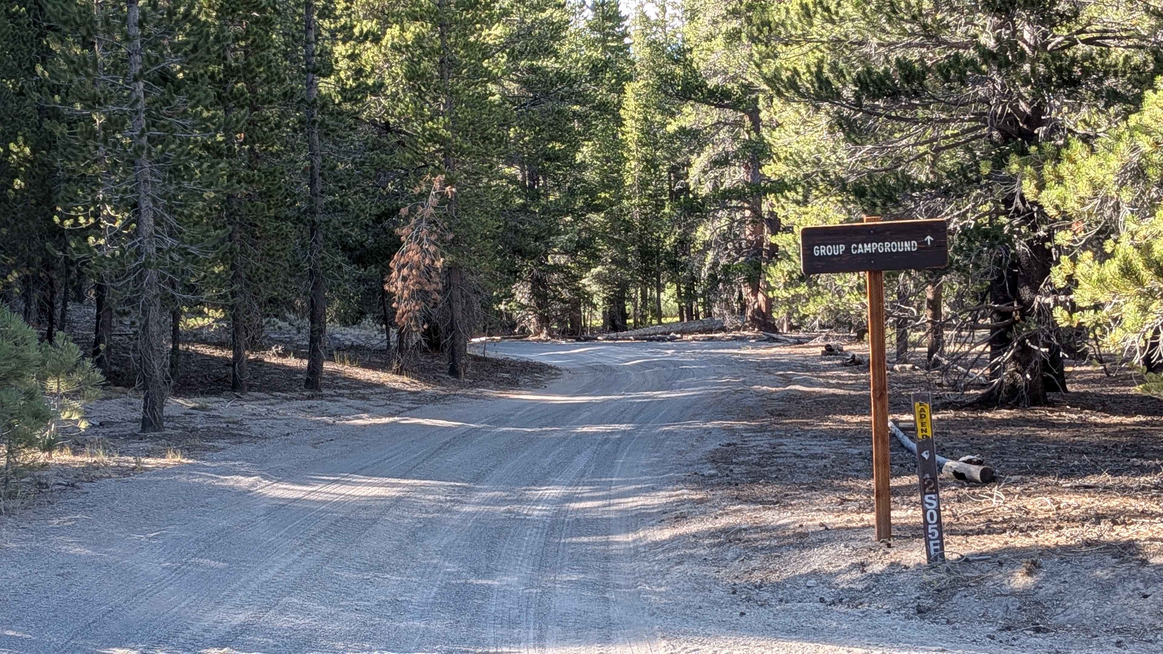
FS 2S05F Obsidian Flat Group Campground
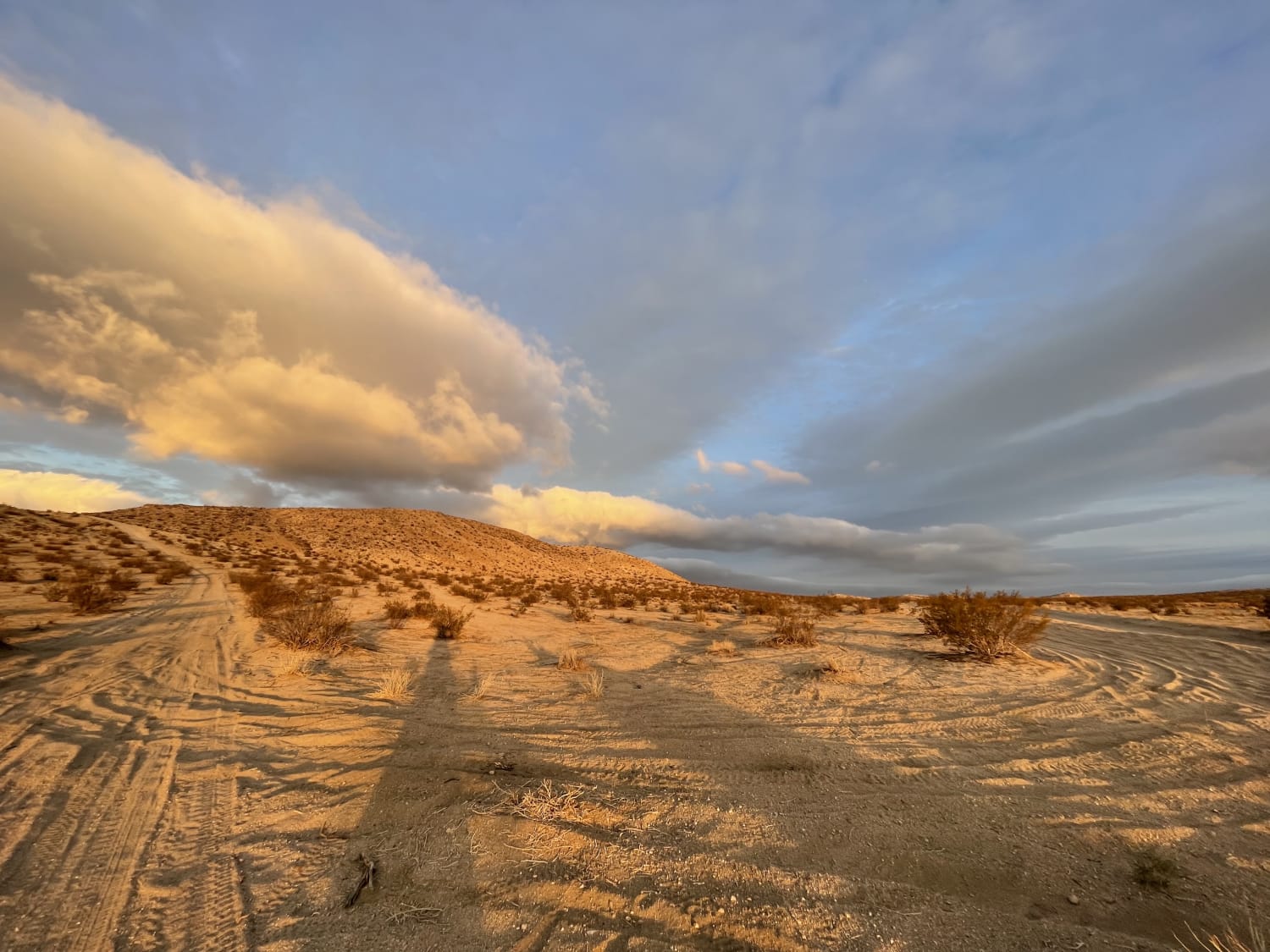
Bedrock Mountain Loop
The onX Offroad Difference
onX Offroad combines trail photos, descriptions, difficulty ratings, width restrictions, seasonality, and more in a user-friendly interface. Available on all devices, with offline access and full compatibility with CarPlay and Android Auto. Discover what you’re missing today!