Ferguson Gulch - FS 3S023
Total Miles
0.9
Technical Rating
Best Time
Fall, Summer
Trail Type
Full-Width Road
Accessible By
Trail Overview
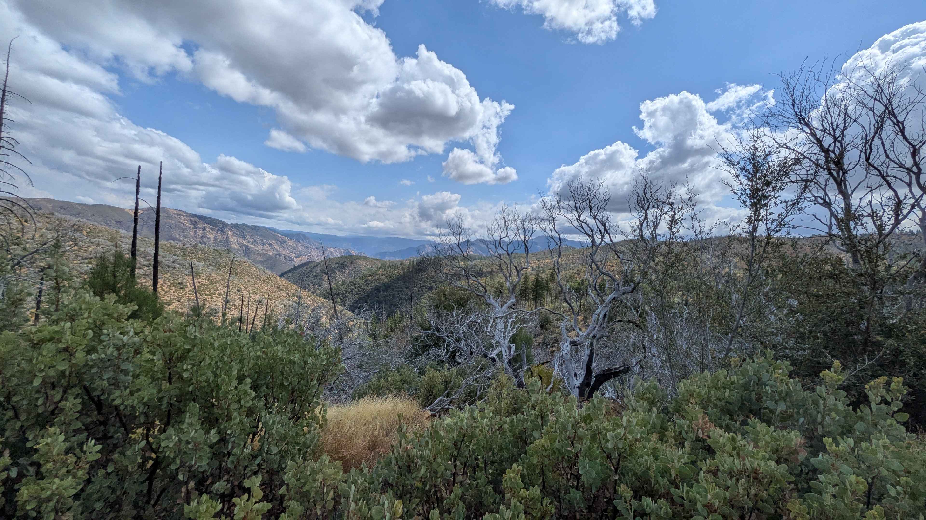
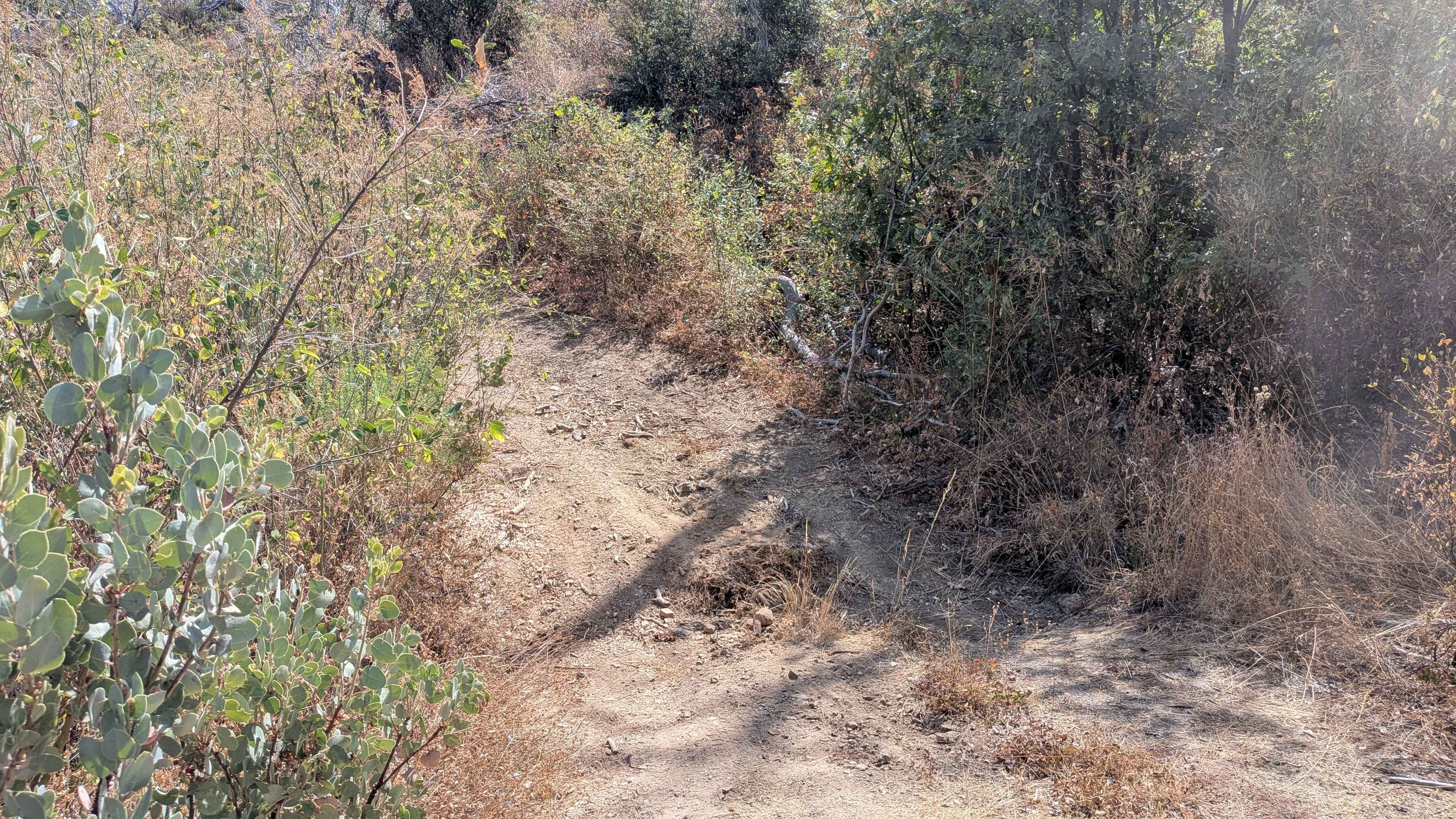
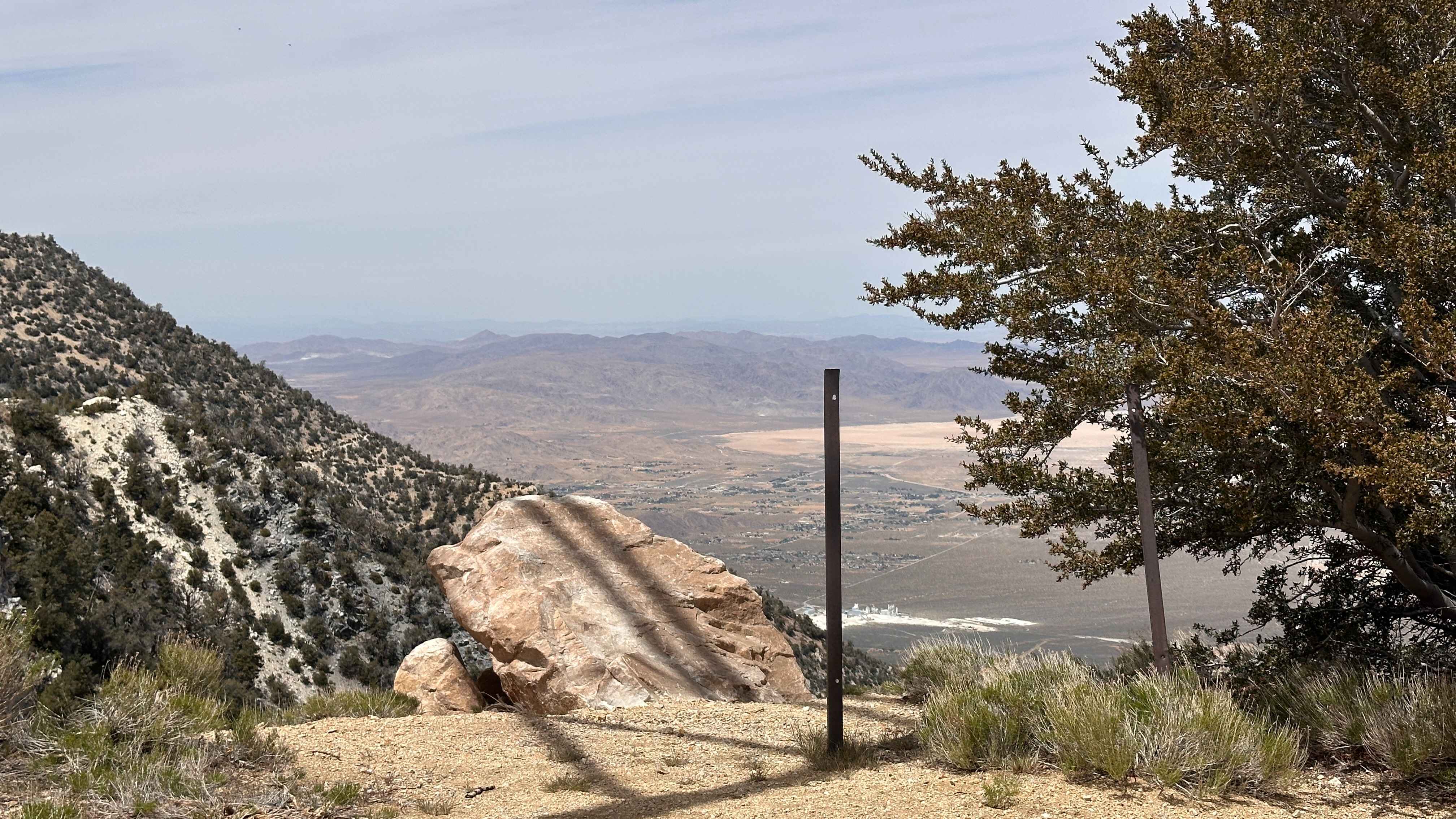
This sandy trail climbs almost 400 feet and drops over 400 feet in just under 2 miles, offering stunning views of the valleys below and mountains across the landscape within the Stanislaus National Forest. The single vehicle-wide trail presents significant challenges with overgrown bushes encroaching from both sides and growing in the median, virtually guaranteeing that vehicles will receive pinstripes throughout the journey. The surface features ruts and scattered rocks that add to the technical demands, while several low-hanging branches will contact most vehicles, potentially causing additional damage to roof equipment or paint. Just after the half-mile mark, a drainage dip presents a notable obstacle that can cause clearance issues for long wheelbase vehicles without proper approach angles. The original trail route connects Ferguson Ridge to Gamisol Ridge, but a significant problem currently blocks completion of the full route. A large downed dead tree obstructs the trail approximately halfway down the track, preventing through passage. Fortunately, a small turnaround area allows vehicles to back up and return via the same route, though this adds complexity to an already challenging trail experience.
Photos of Ferguson Gulch - FS 3S023
Difficulty
This trail receives a difficulty rating of 3, reflecting moderate to challenging conditions compounded by maintenance issues. The combination of overgrown vegetation, technical obstacles, and the current blockage makes this a problematic route. No trailers are recommended due to the narrow width, overgrown conditions, and turnaround requirements. The trail is currently not recommended for exploration, as there are superior alternatives in the area that provide better experiences without the extensive vehicle damage and blocked passage issues.
Status Reports
Ferguson Gulch - FS 3S023 can be accessed by the following ride types:
- High-Clearance 4x4
- SUV
- SxS (60")
- ATV (50")
- Dirt Bike
Ferguson Gulch - FS 3S023 Map
Popular Trails
JV Landers Lookout

Clover Meadow Cutoff - FS 5S053Y

Milford Road Cutover
EC 236 Painted Gorge Road
The onX Offroad Difference
onX Offroad combines trail photos, descriptions, difficulty ratings, width restrictions, seasonality, and more in a user-friendly interface. Available on all devices, with offline access and full compatibility with CarPlay and Android Auto. Discover what you’re missing today!