Eagle Rock
Total Miles
5.2
Technical Rating
Best Time
Spring, Summer, Fall, Winter
Trail Type
Full-Width Road
Accessible By
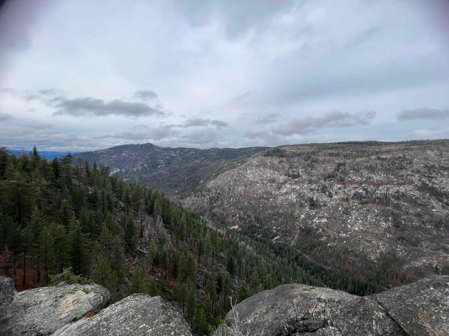
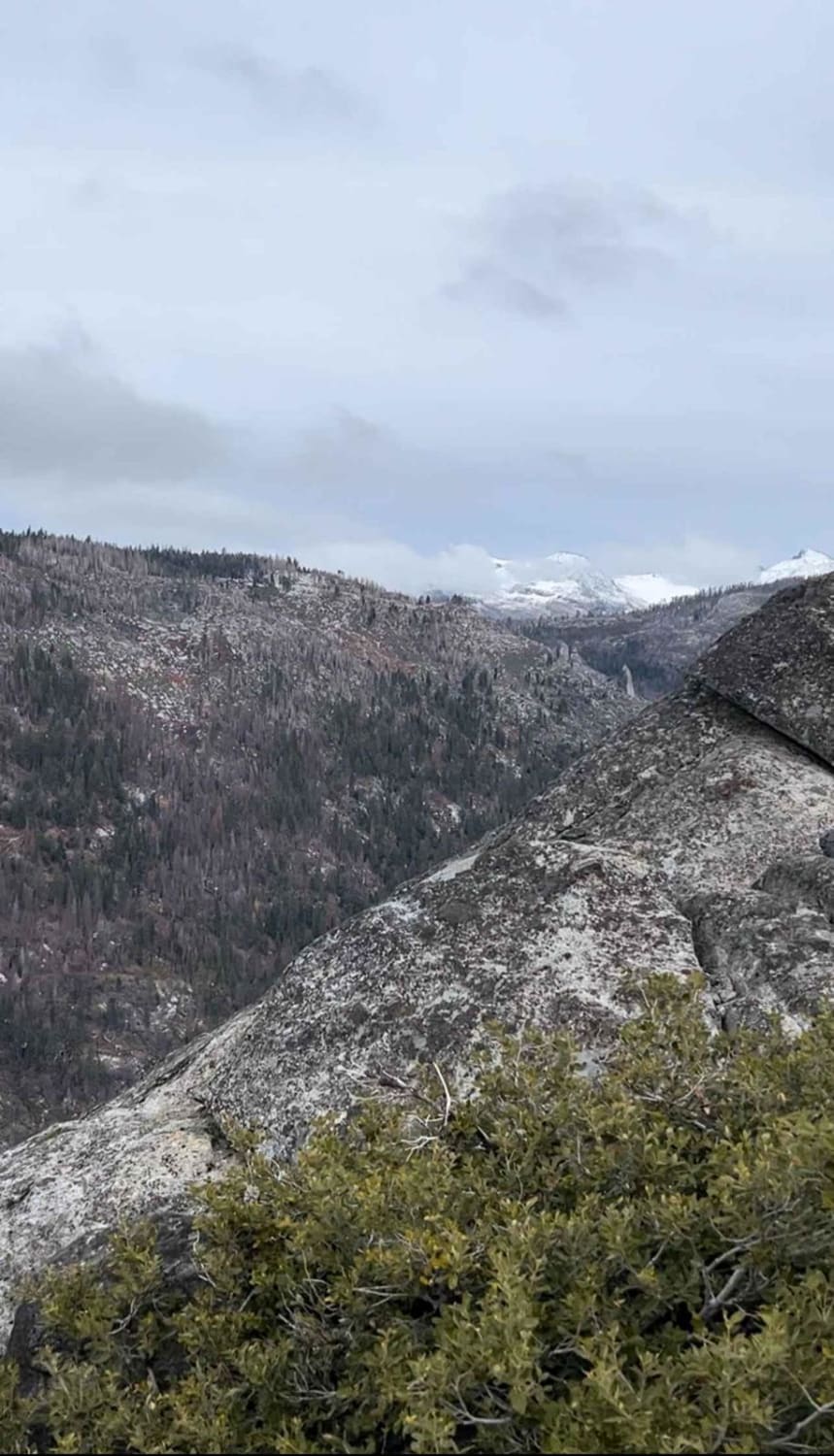
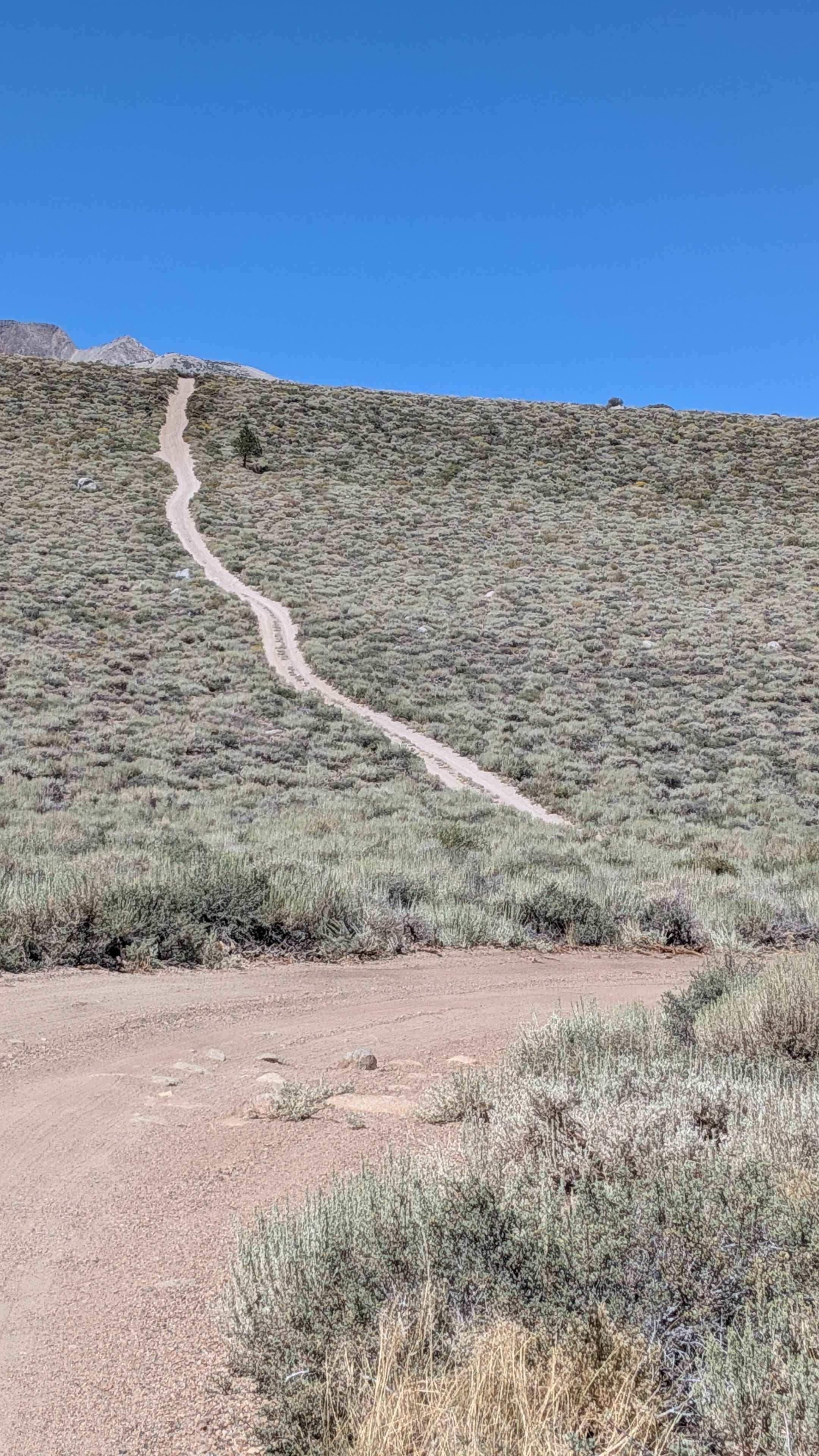
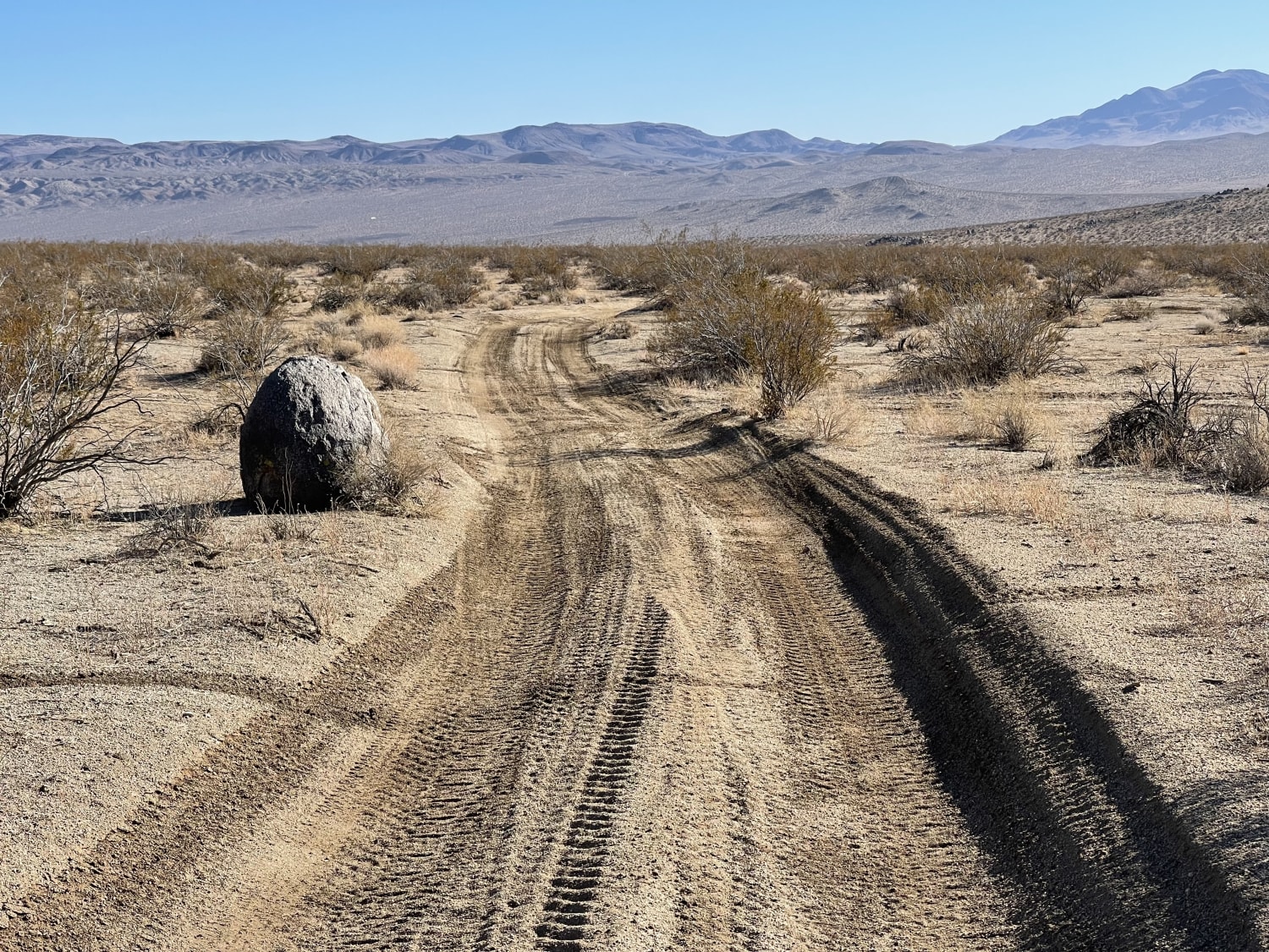
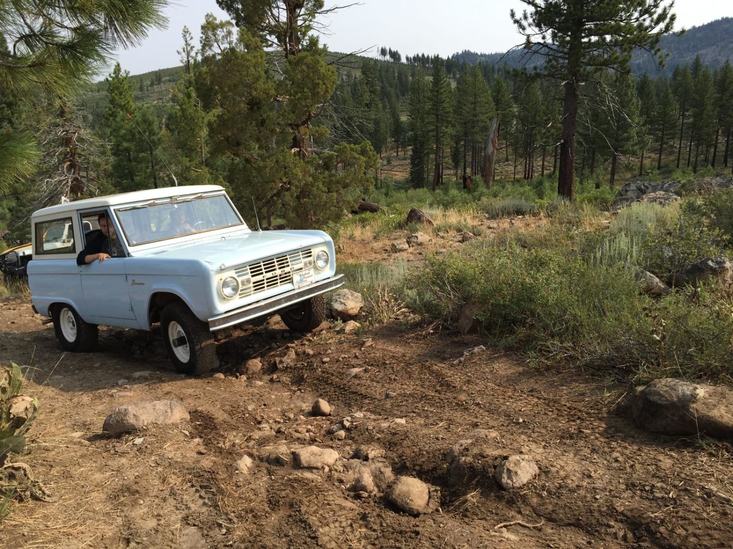
Trail Overview
This trail takes you to about 6,200 feet to the Eagle Rock! The trail up is steep and rocky and even covered in pine needles, but it is worth it! The view at the top is of Tahoe and Highway 50 below and is an awesome end to the trail. There is camping along the way, but be cognizant of the area--it is in the recent burn and there are lots of burnt, hazardous trees!
Photos of Eagle Rock
Difficulty
This trail is steep and loose! 4x4 is needed and a rear locker is recommended. There are larger and smaller rocks throughout as well as mud and ruts. When you get to the top, there is really only room for 2 rigs to turn around, so be mindful.
Status Reports
Eagle Rock can be accessed by the following ride types:
- High-Clearance 4x4
- SUV
- SxS (60")
- ATV (50")
- Dirt Bike
Eagle Rock Map
Popular Trails

Dunderberg Meadows
Kiss The Boundary
Bear Valley Loop Trail
The onX Offroad Difference
onX Offroad combines trail photos, descriptions, difficulty ratings, width restrictions, seasonality, and more in a user-friendly interface. Available on all devices, with offline access and full compatibility with CarPlay and Android Auto. Discover what you’re missing today!