Jawbone to Lake Isabella
Total Miles
48.0
Technical Rating
Best Time
Winter, Spring, Summer, Fall
Trail Type
Full-Width Road
Accessible By
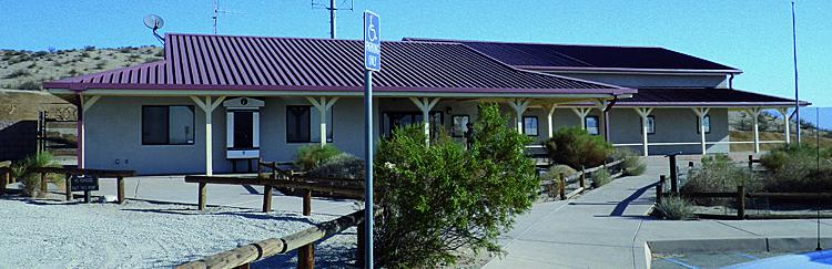
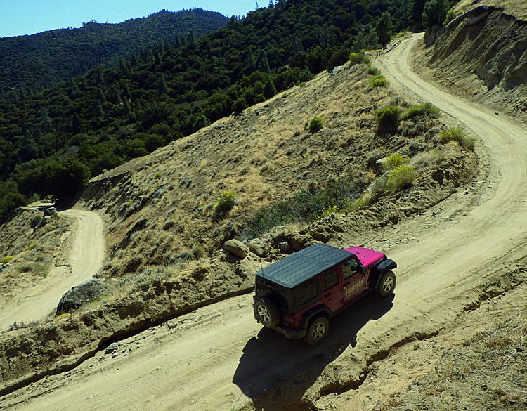
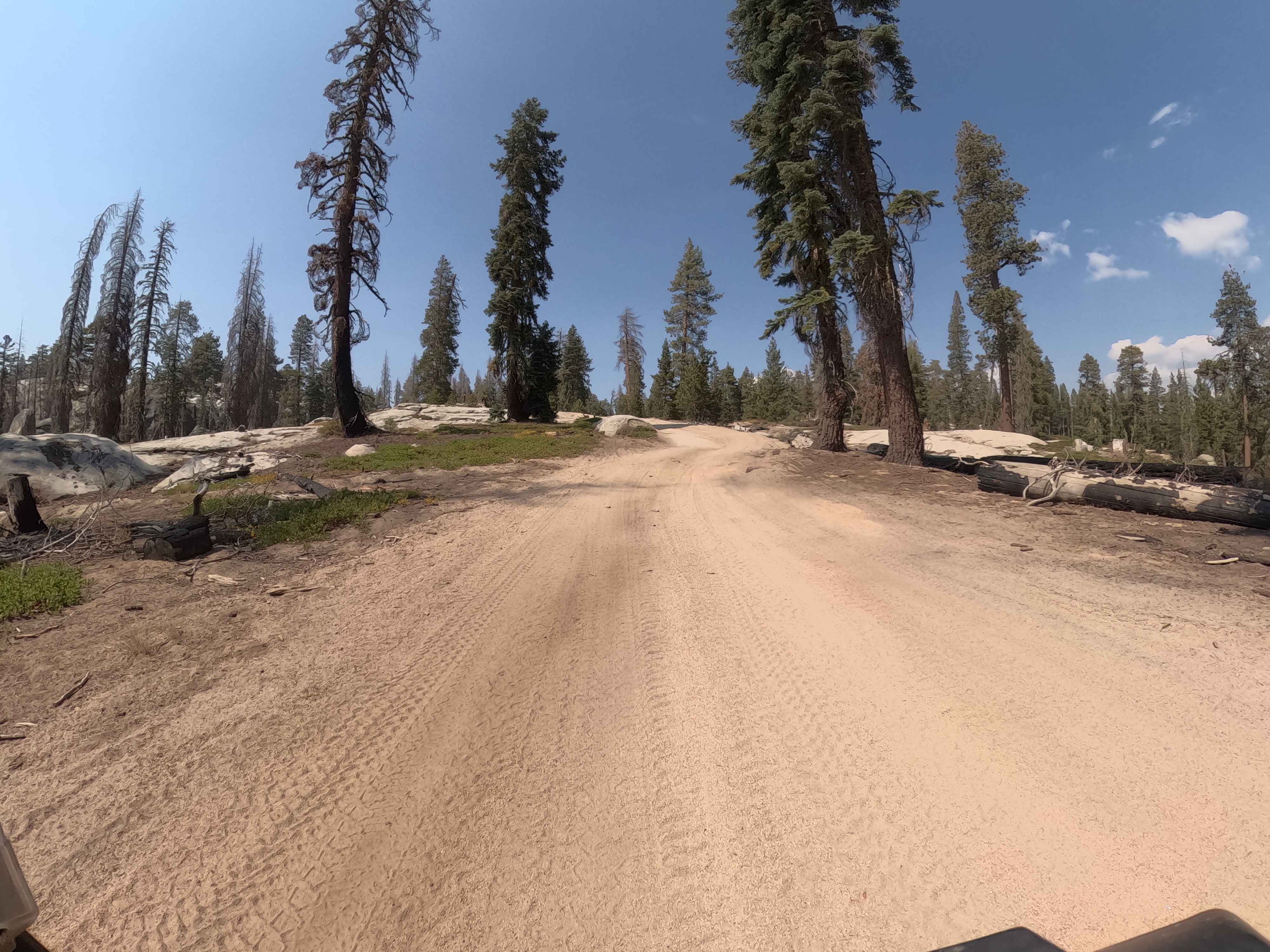
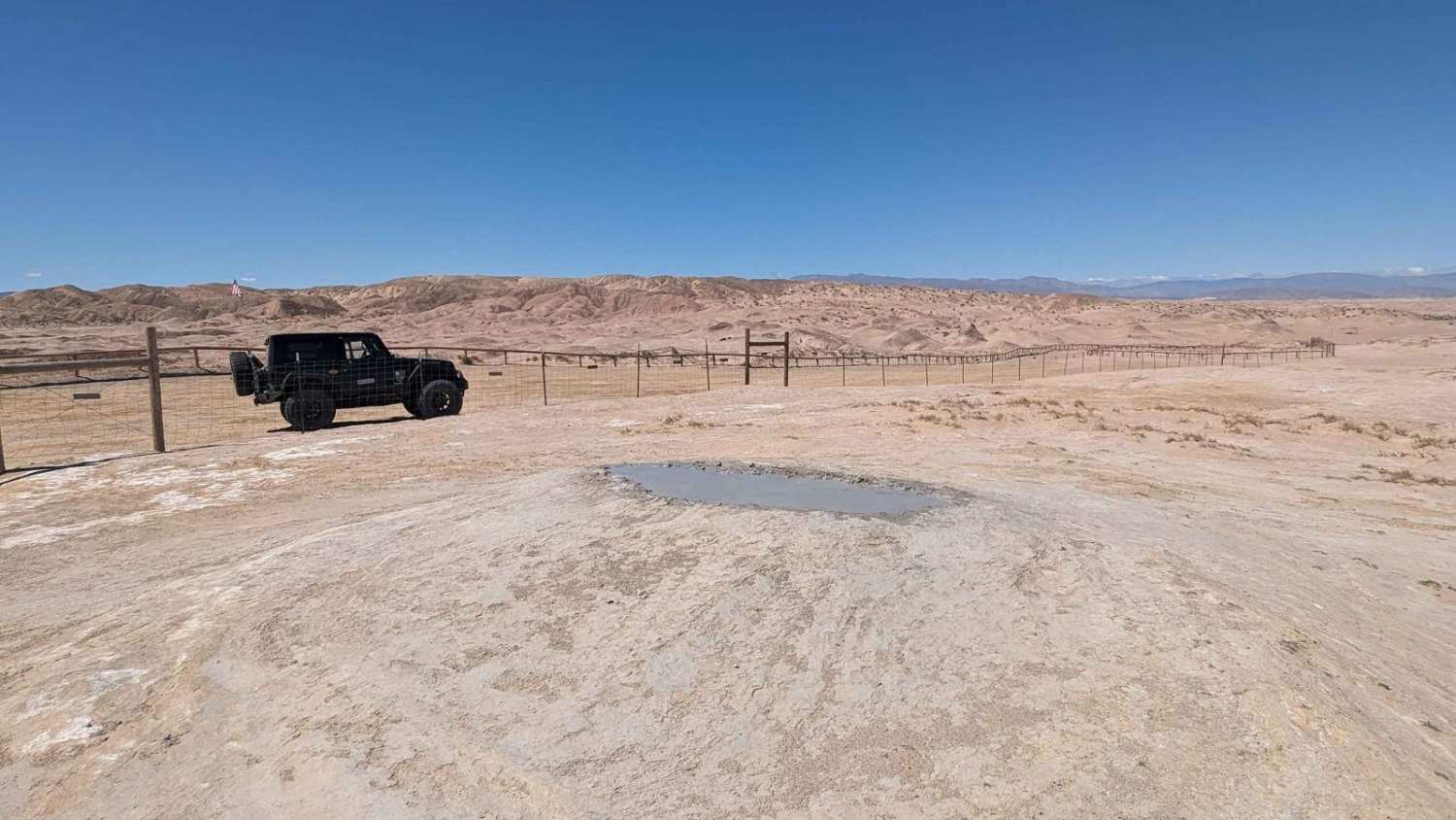
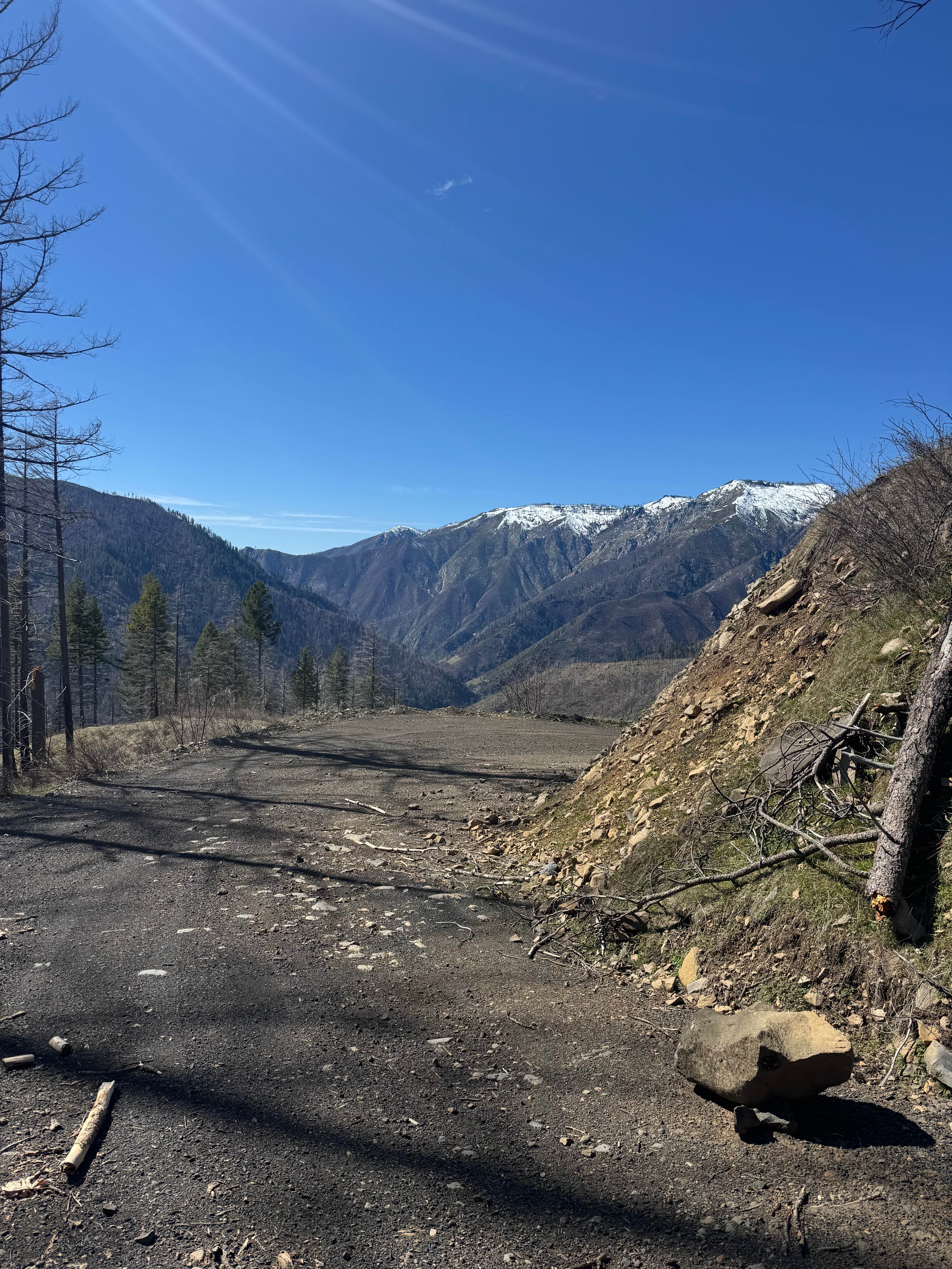
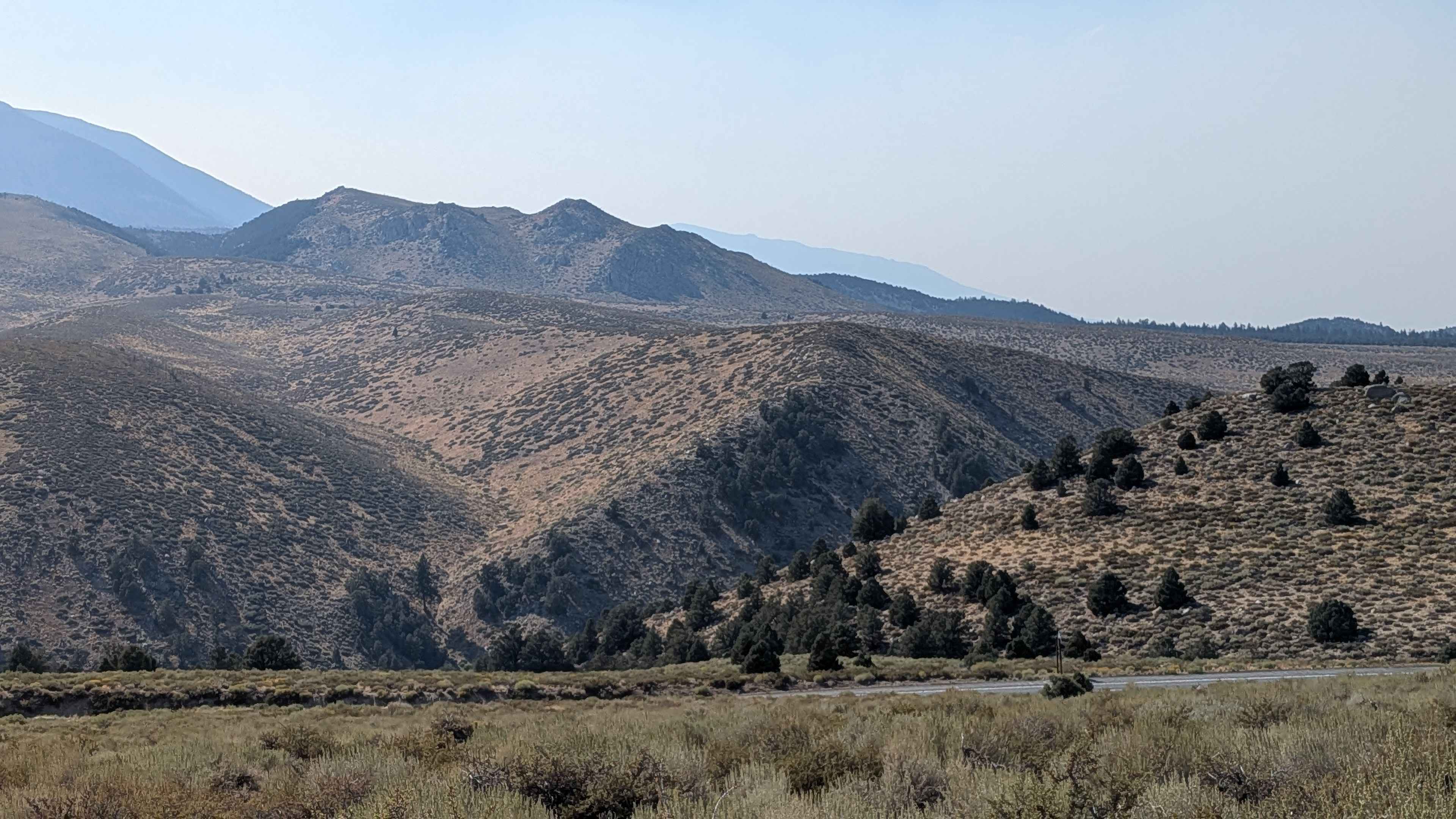
Trail Overview
A long scenic route crosses the sprawling high desert from Jawbone OHV Area, climbs above 8,000 feet across the Piute Mountain Range inside Sequoia National Forest, and then descends quickly to Lake Isabella. There are vast areas of dispersed camping with open riding around Jawbone Station. No green sticker vehicles are allowed on Jawbone Canyon Road. Although Forest Road 27S02 is open to green-sticker vehicles, we don't recommend riding here.
Photos of Jawbone to Lake Isabella
Difficulty
Easy: We found the road well graded the entire way, but be prepared for ruts and washed-out sections on steep grades. Winter snows may close the road for brief periods at higher elevations. Mud possible in spring.
History
The rusty teepee-like structure you encounter on this trip was used to burn mill waste for a saw mill located nearby. At one time you could find these odd structures all over California. The Clear Air Act 1970 did away with their use and by 1980 all were shut down. Please respect the structure and take only pictures.
Status Reports
Jawbone to Lake Isabella can be accessed by the following ride types:
- High-Clearance 4x4
- SUV
Jawbone to Lake Isabella Map
Popular Trails
45 Cutoff - FS 25E309
Gas Dome Trail
Belden-Longville
The onX Offroad Difference
onX Offroad combines trail photos, descriptions, difficulty ratings, width restrictions, seasonality, and more in a user-friendly interface. Available on all devices, with offline access and full compatibility with CarPlay and Android Auto. Discover what you’re missing today!