North Canyon / Baxter Road - FS 1S15A
Total Miles
4.6
Technical Rating
Best Time
Fall, Summer, Spring
Trail Type
Full-Width Road
Accessible By
Trail Overview
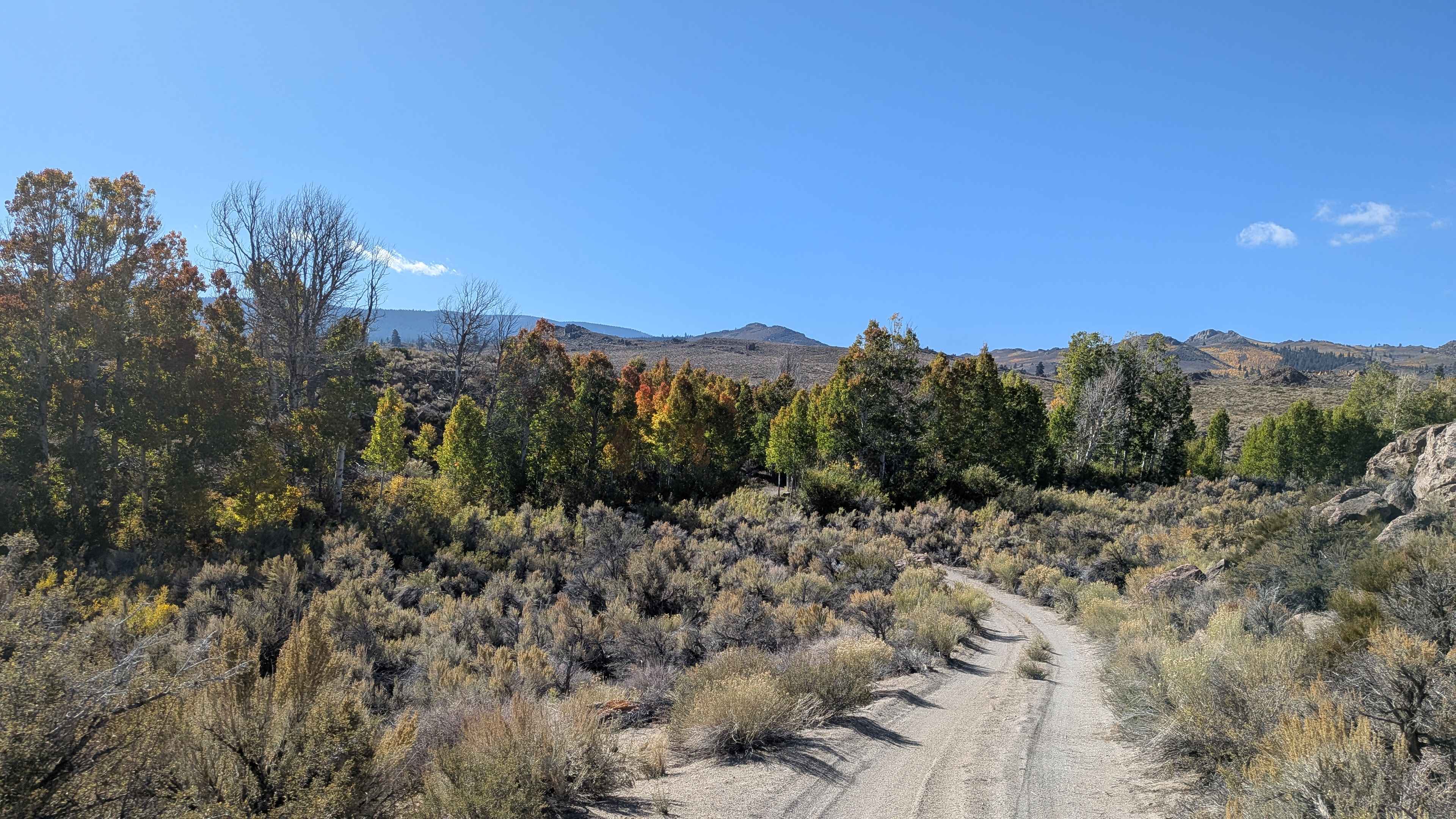
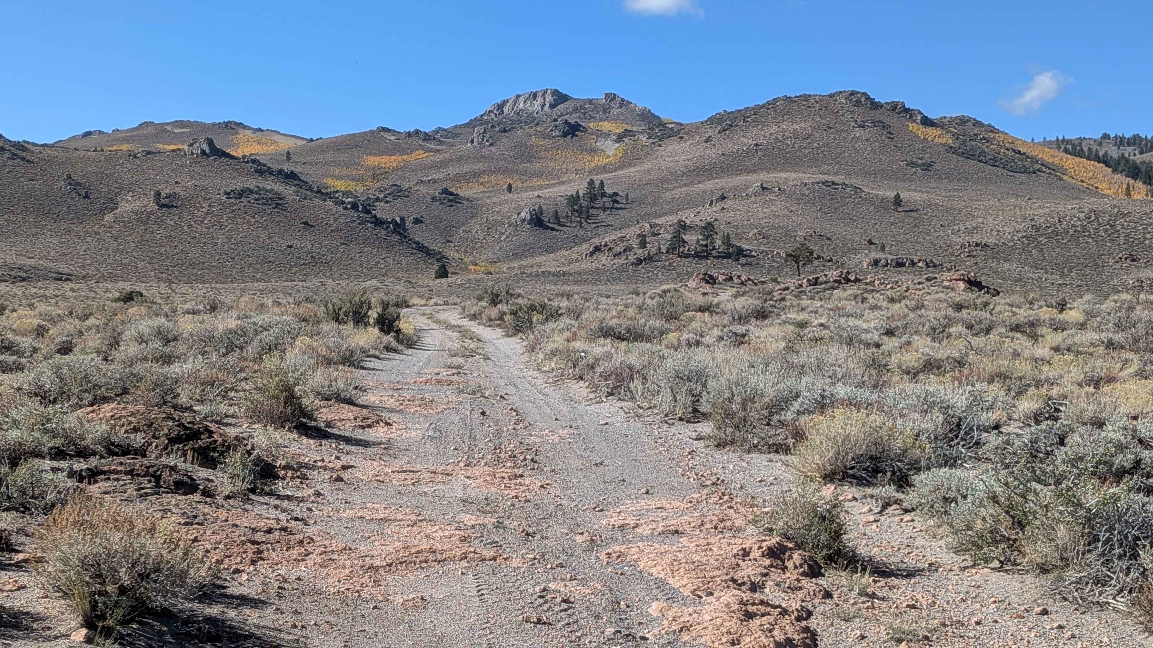
This 4.6-mile point-to-point sandy trail starts off Highway 120 and ends at FS 29E104, climbing 300 feet and dropping over 450 feet. The one vehicle wide trail starts in a huge meadow lined with sagebrush and short bushes. You're immediately surrounded by rock formations with distant peaks, including Sage Hen Peak. The trail skirts around deep canyons with dramatic views. As you climb, the mountain views improve along with interesting rock formations. In the fall, aspens provide nice foliage near Sage Hen Mountain. Water crossings appear at the half-mile mark and at mile 2.7 in a canyon. Spring crossings could be much higher, so watch water levels.
Photos of North Canyon / Baxter Road - FS 1S15A
Difficulty
This trail features a water crossing at the half-mile mark. At mile 2.7, there is a small river crossing in a canyon that flows in the fall but could be much higher in spring. The rating could be higher in spring, depending on water levels.
Status Reports
North Canyon / Baxter Road - FS 1S15A can be accessed by the following ride types:
- High-Clearance 4x4
- SUV
- SxS (60")
- ATV (50")
- Dirt Bike
North Canyon / Baxter Road - FS 1S15A Map
Popular Trails


Big Tree Cucamonga - 1N34
Bear Spring - FS 96-034-02
The onX Offroad Difference
onX Offroad combines trail photos, descriptions, difficulty ratings, width restrictions, seasonality, and more in a user-friendly interface. Available on all devices, with offline access and full compatibility with CarPlay and Android Auto. Discover what you’re missing today!