Coyote Springs Road
Total Miles
6.5
Technical Rating
Best Time
Fall, Summer
Trail Type
Full-Width Road
Accessible By
Trail Overview
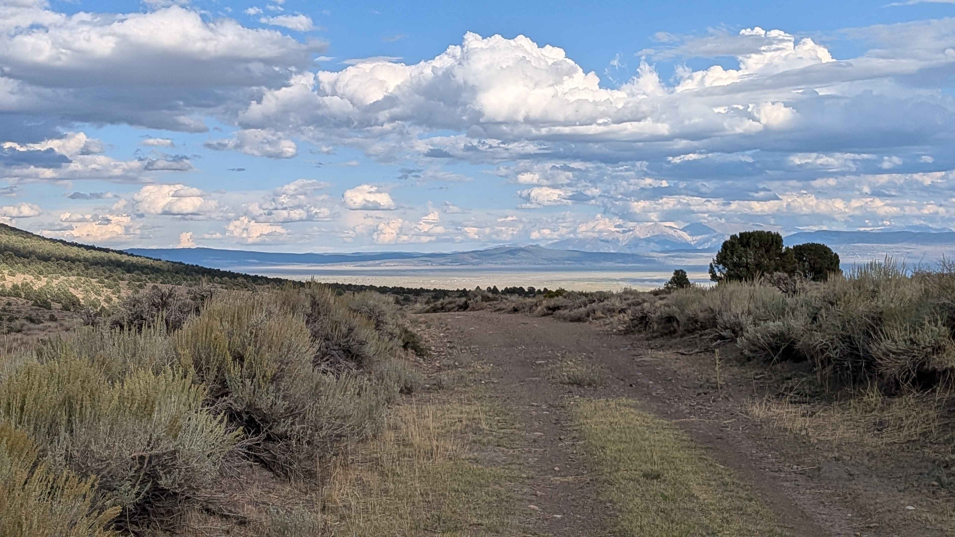
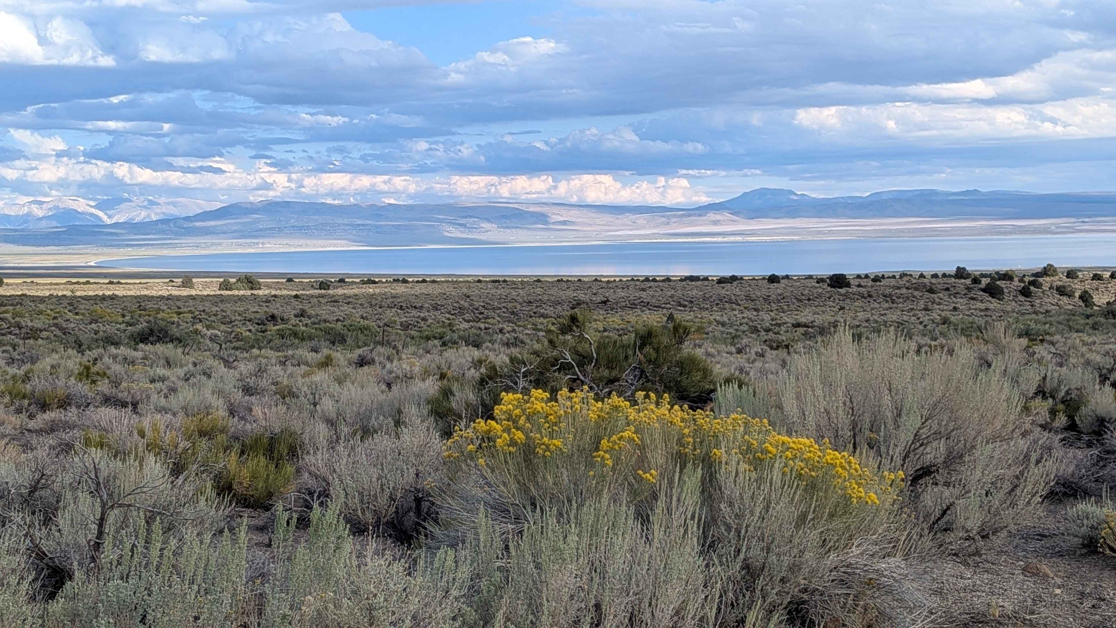
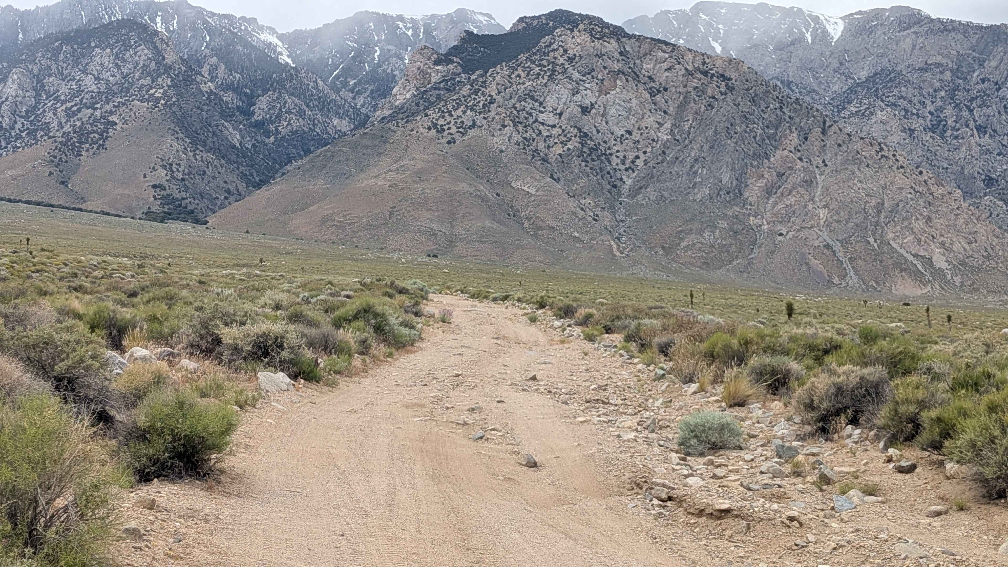
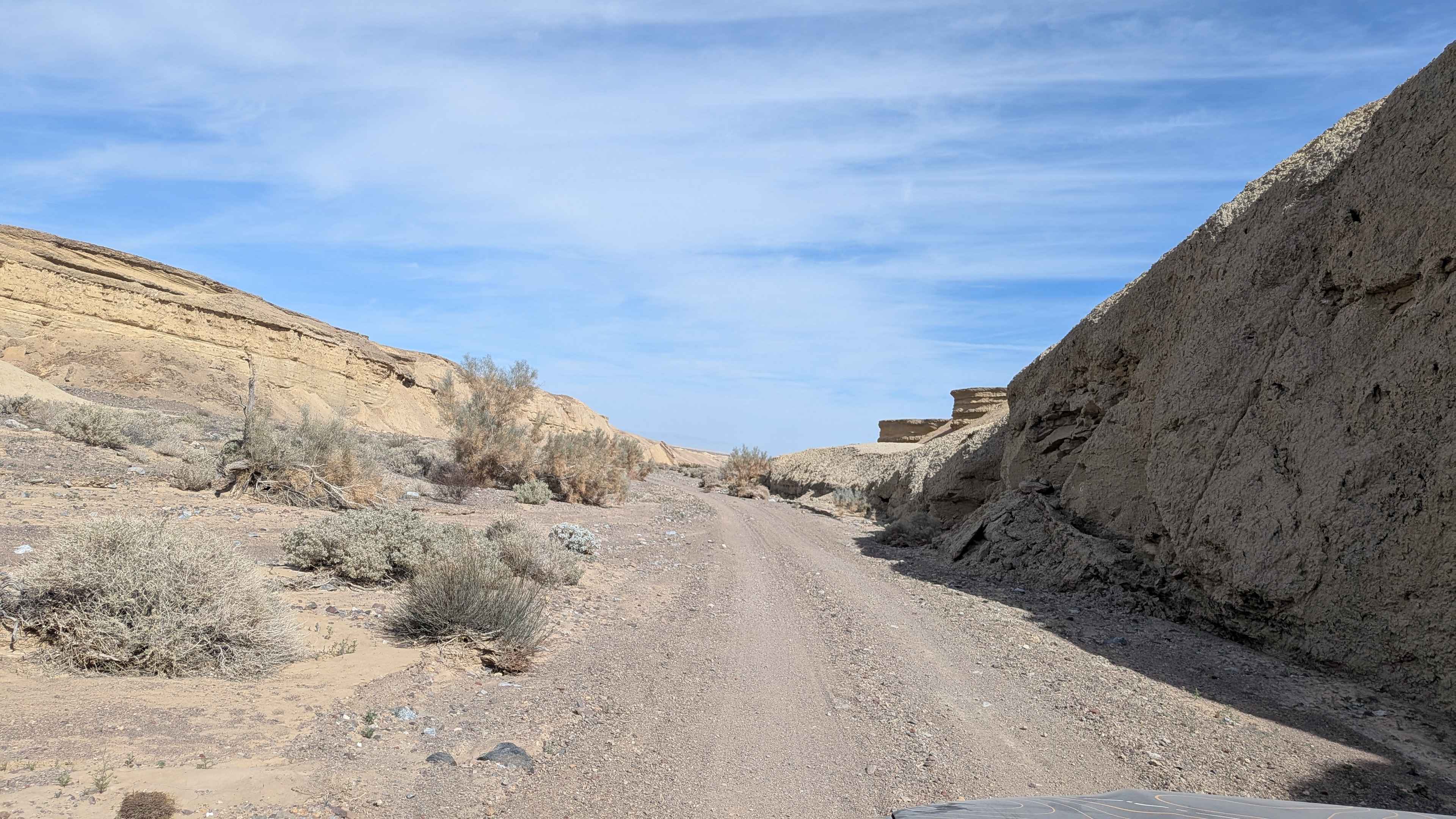
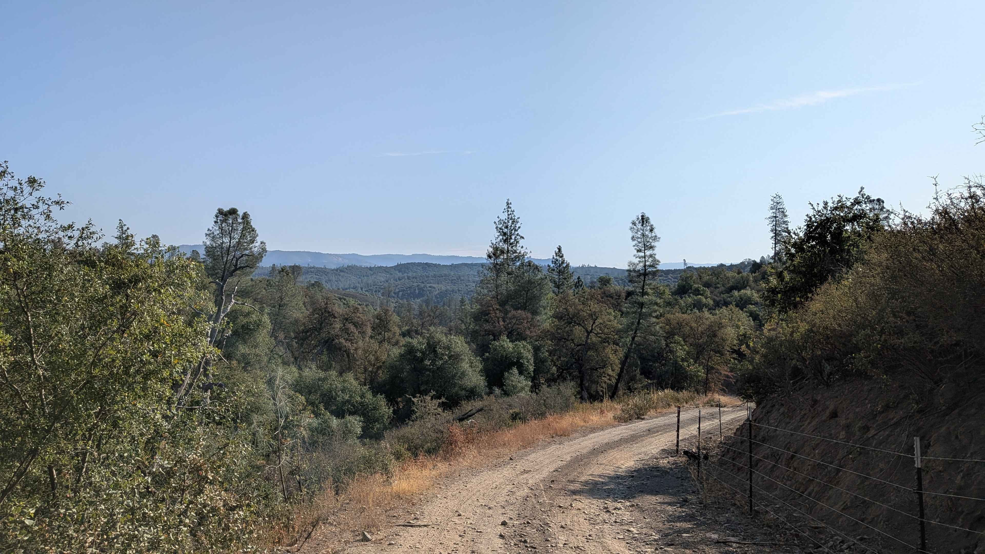
Starting from the Bodie Rd, this route drops almost 900 feet and climbs over 300 feet in just over 6.5 miles. The trail immediately starts cutting through the canyon with low brush and rolling hills, and the area is used for grazing so watch out for cattle. At mile 1.8, you reach the summit where you can see Mono Lake and Eastern Sierras behind it. Around mile 4.5, you go through an area that is very overgrown but the road remains one and a half vehicles wide, though there's some vegetation encroaching on the road. This would probably not be an area you'd want to be in during a flash flood. Only street legal vehicles allowed.
Photos of Coyote Springs Road
Difficulty
This trail earns a low difficulty rating with its dirt surface mixed with some gravel. There are some small ruts from people traveling when conditions were wet, and a few sections of small rock gardens no more than the size of baseballs that are relatively easy to navigate. The trail is 1.5 vehicles wide, though there are a couple of sections where half the road has deep ruts due to water runoff. There are a few small stream crossings that could be full of water in early spring or after rain.
History
Original travel route: Coyote Springs Road was once the main road between Mono Lake and Bridgeport. This historic alignment went through Bridgeport Canyon before the state highway system was fully developed. Connection to Bodie: The road is part of a historic network that included travel to the famous ghost town of Bodie, which experienced its gold-rush heyday in the late 1800s. Modern alternative: In the early 1920s, a new road was built across Conway Summit, likely initiated by a local rancher. This route was a more efficient path for mule teams and eventually became the first iteration of U.S. 395.
Status Reports
Coyote Springs Road can be accessed by the following ride types:
- High-Clearance 4x4
- SUV
Coyote Springs Road Map
Popular Trails
Walker Creek Road - FS 19S01
Painted Hills Cutoff
Bull Creek Road South
The onX Offroad Difference
onX Offroad combines trail photos, descriptions, difficulty ratings, width restrictions, seasonality, and more in a user-friendly interface. Available on all devices, with offline access and full compatibility with CarPlay and Android Auto. Discover what you’re missing today!