Coyote - FS 2N15Y
Total Miles
1.0
Technical Rating
Best Time
Spring, Summer, Fall
Trail Type
Full-Width Road
Accessible By
Trail Overview
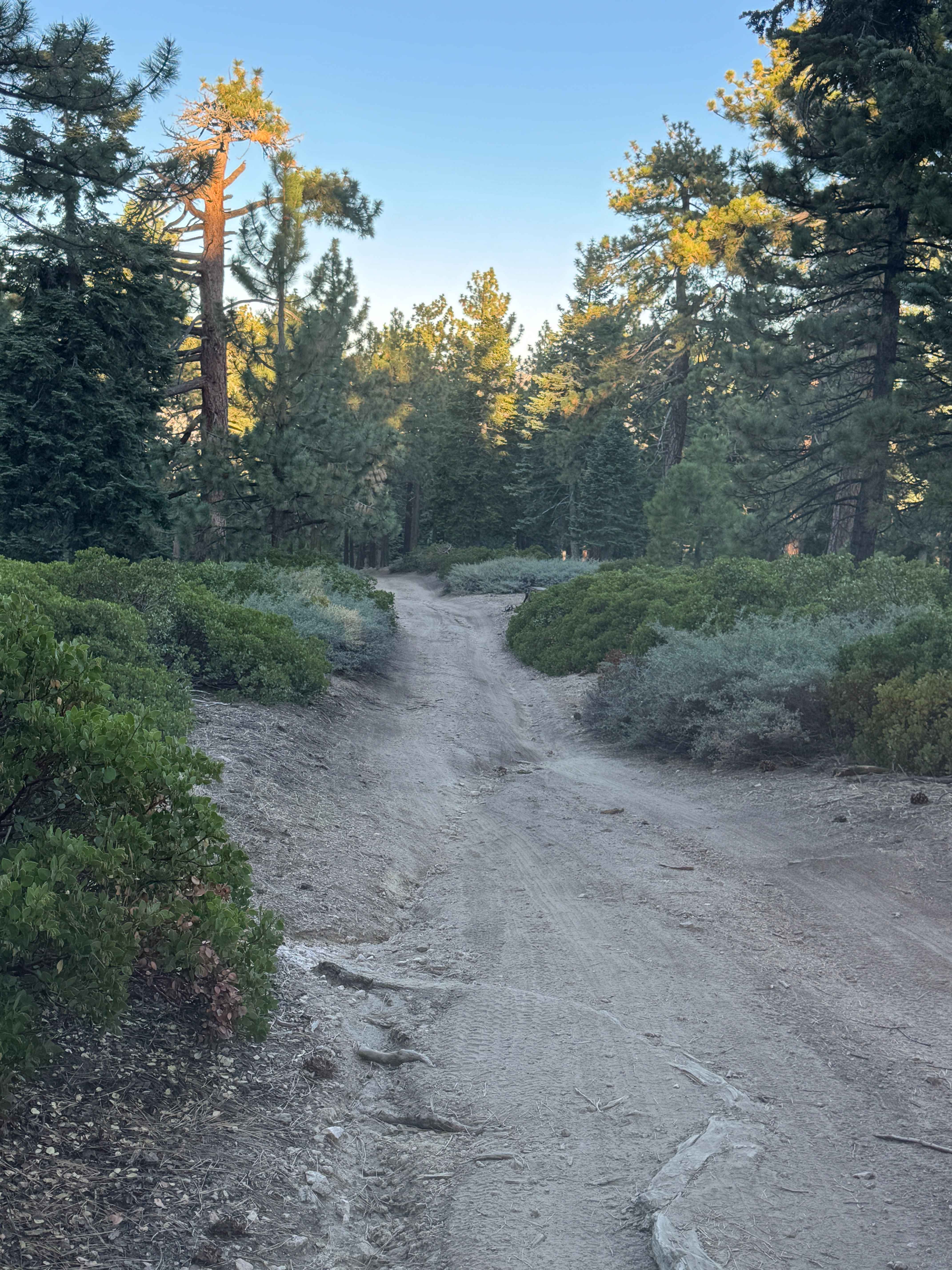
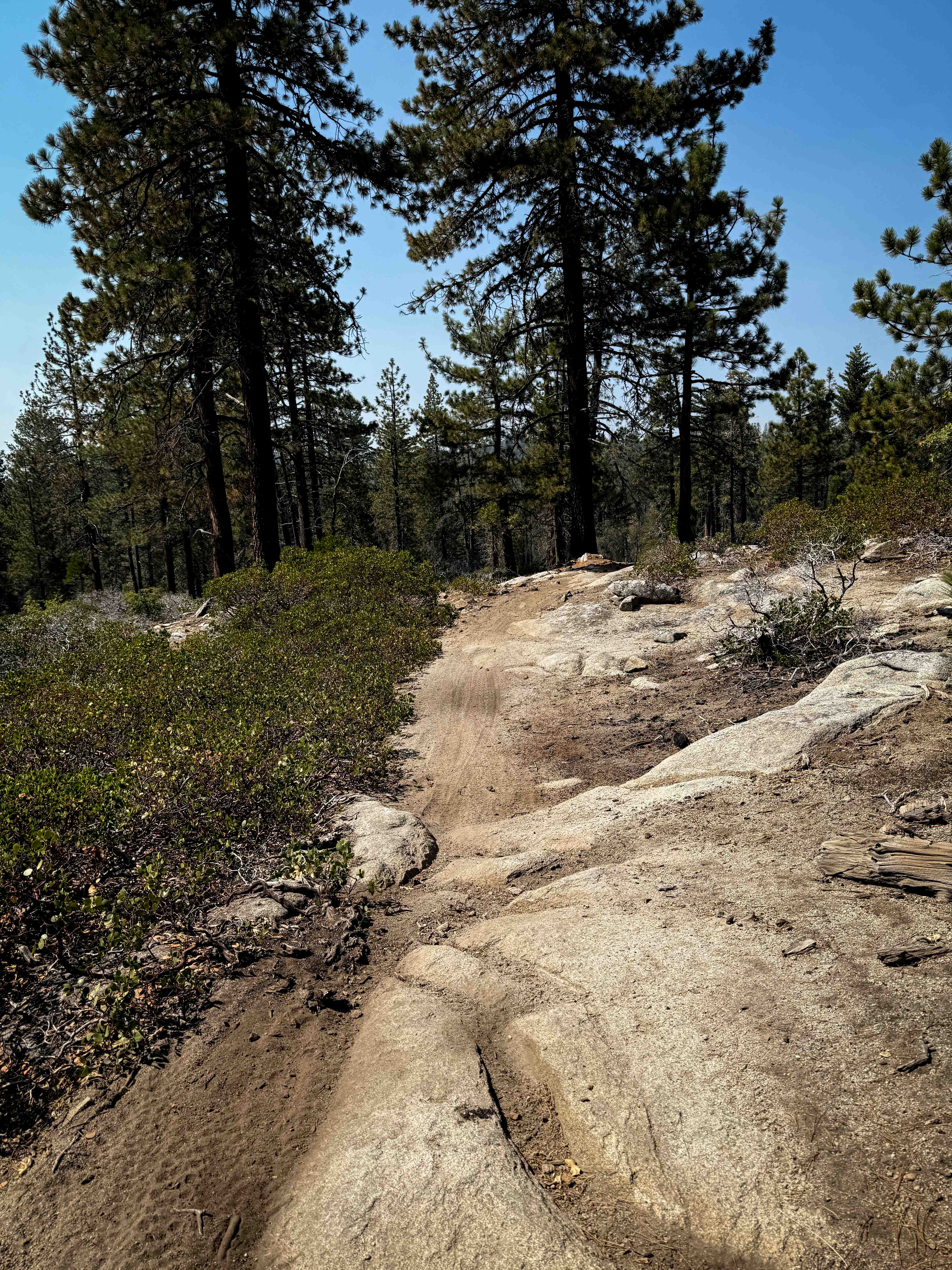
Coyote (FS 2N15Y) is primarily a hard-packed sand and gravel road. It is an easy ride in the summer months; however, there is no winter maintenance. During times of rain, snow, and ice, the road can become more rutted and harder to travel on. Coyote is within the San Bernardino National Forest. There are numerous spots to stop along this road and enjoy the foliage and possible wildlife. There are a few camp sites located along this road to choose from. This region of California is a great place to explore via vehicle or on foot. The full beauty of the National Forest is on display. Coyote does not have any gates; however, both roads that provide access to Coyote could be closed. Please check with the Forest Service prior to travel in this area.
Photos of Coyote - FS 2N15Y
Difficulty
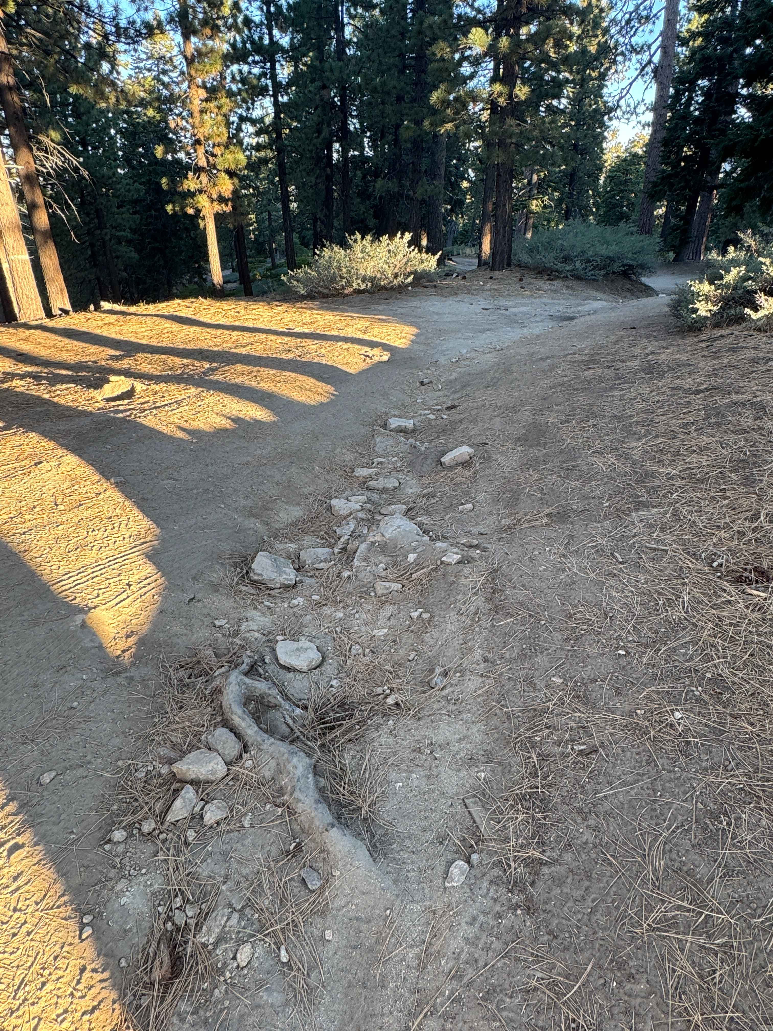
Coyote (FS 2N15Y) is an intermediate ride in the summer months; however, there is no winter maintenance. During times of rain, snow, and ice, the road will become harder to travel on. It can become washed out and heavily rutted in the spring thaw. The ruts can be up to 12 inches deep, and the rocks could be over 12 inches in size. The possible washouts and annual erosion could be up to 18 inches in depth.
History
Originally, the forest was home to Native Americans, long before recorded history. Mexican and European settlements occurred sporadically for the first half of the 19th century, but the chain of events that led to the creation of the National Forest in 1893 really began after California became part of the United States in 1848 (it had been part of Mexico since 1822). In 1855, gold was discovered in the San Bernardino mountains. Over the second half of the 19th century, mining, timber, and grazing grew quickly, taking a heavy toll on the land. By the end of the 19th century, significant sectors of the forest had been felled and overgrazed. Streams and rivers were silting in, and water quality was declining. Meanwhile, a growing population and a thriving citrus industry made increasing demands for clean drinking and irrigation water. A pioneering populace, who had conquered what seemed like an endless frontier, began to realize that it now must manage the land much more thoughtfully. A Board of Forestry report in 1886 found that the necessity of the hour is an intelligent supervision of the forest and brush lands of California, with a view to their preservation.
Status Reports
Coyote - FS 2N15Y can be accessed by the following ride types:
- High-Clearance 4x4
- SUV
- SxS (60")
Coyote - FS 2N15Y Map
Popular Trails

Black Canyon
The onX Offroad Difference
onX Offroad combines trail photos, descriptions, difficulty ratings, width restrictions, seasonality, and more in a user-friendly interface. Available on all devices, with offline access and full compatibility with CarPlay and Android Auto. Discover what you’re missing today!