FS 2S11
Total Miles
2.4
Technical Rating
Best Time
Fall, Summer
Trail Type
Full-Width Road
Accessible By
Trail Overview
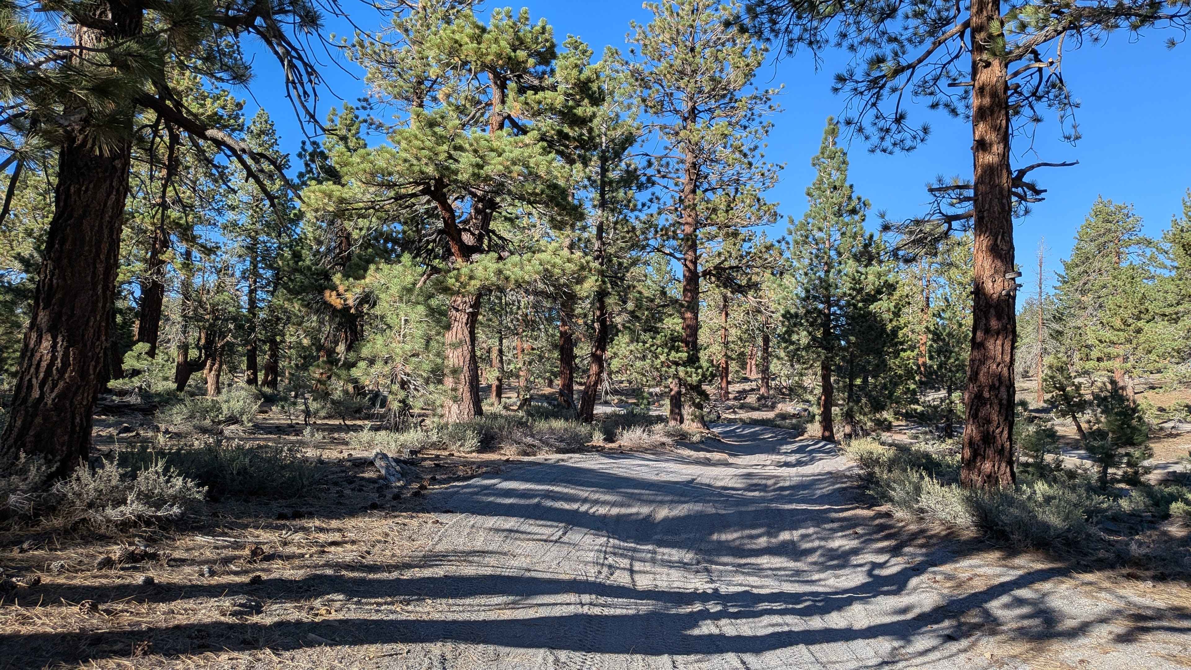
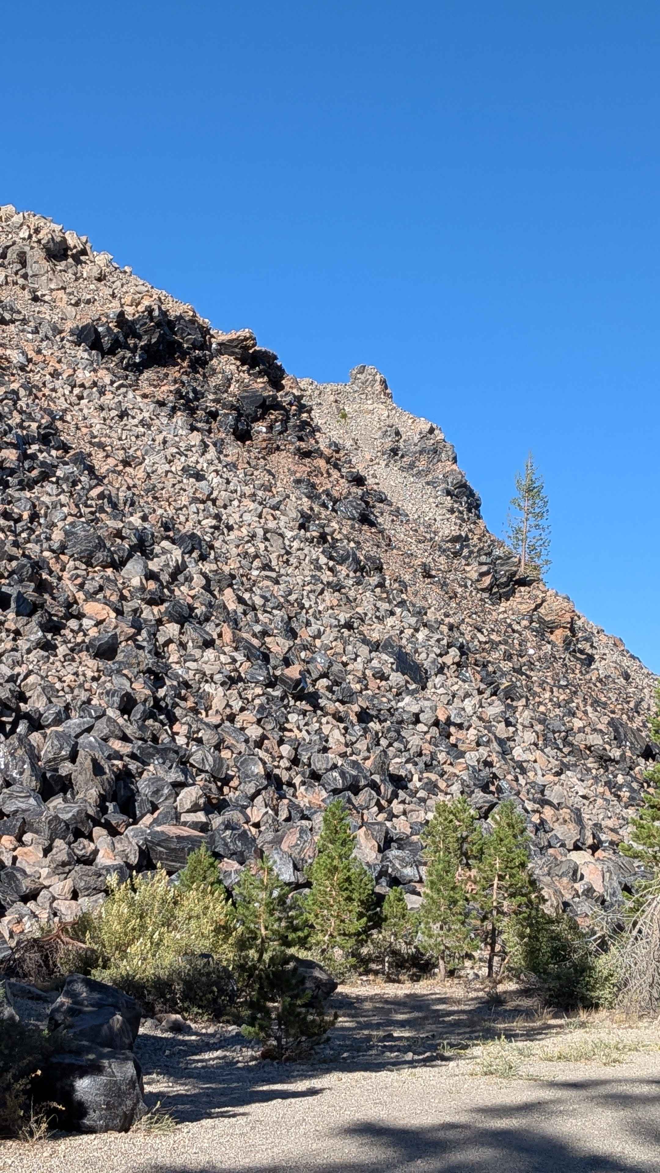
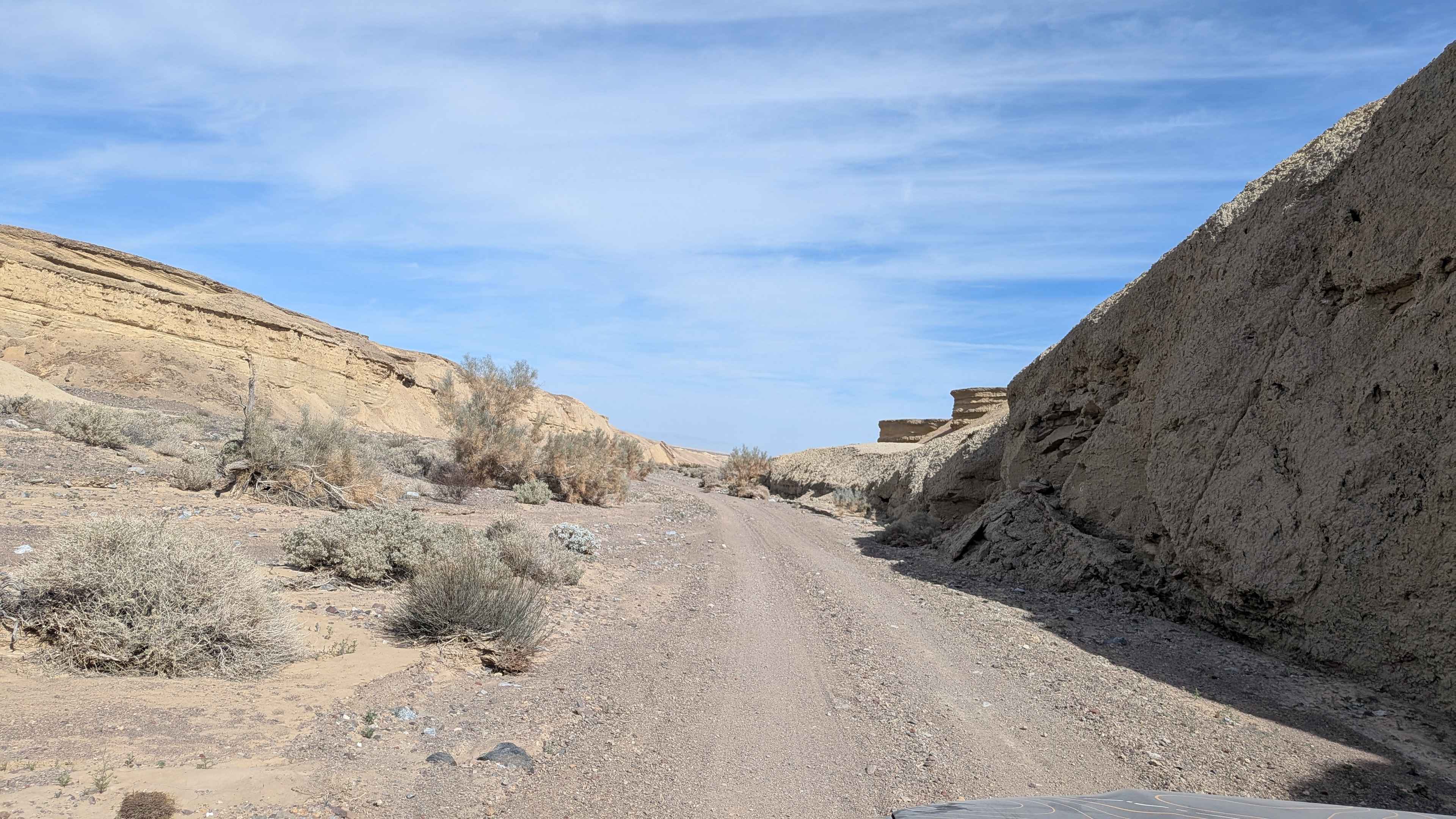
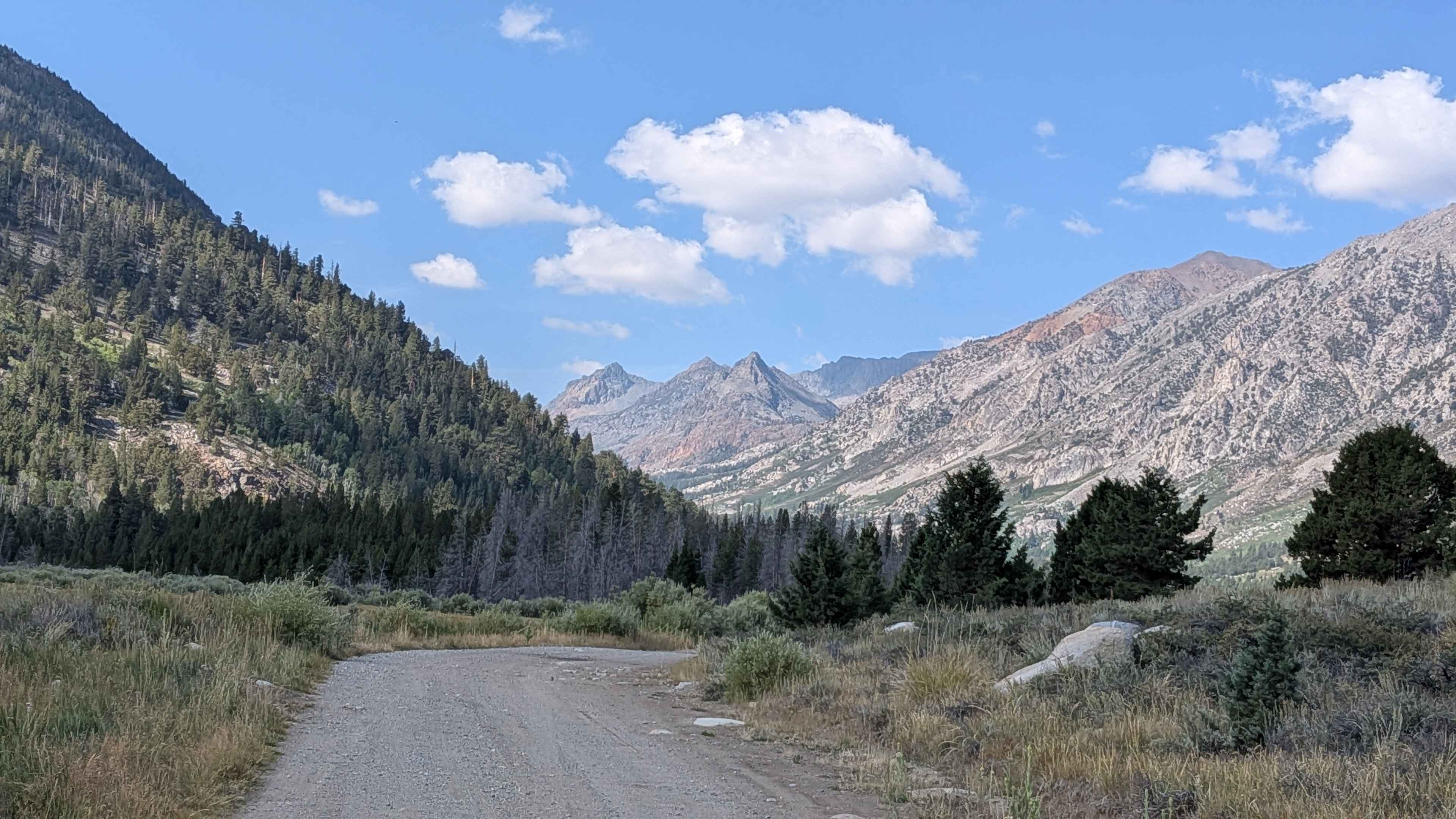
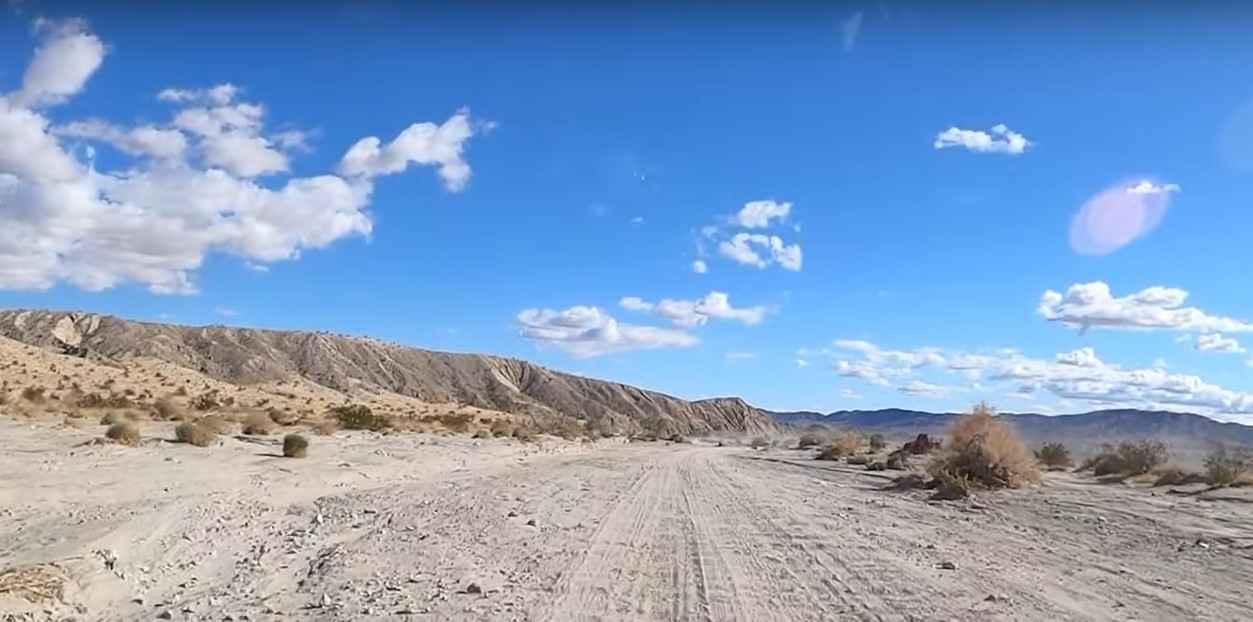
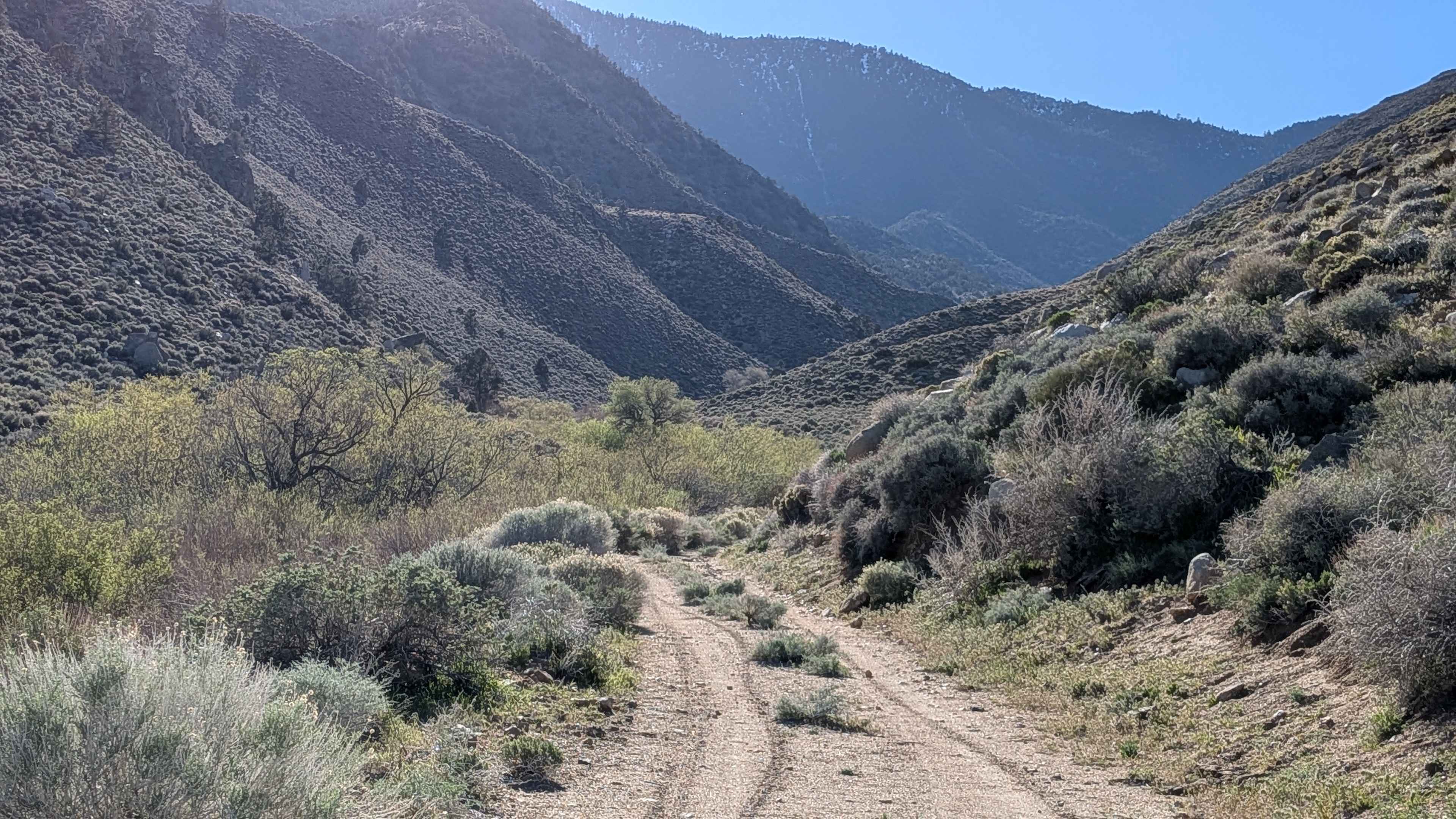
This route is 1 to 1.5 vehicle widths wide, winding through pine tree forest alongside the obsidian dome. The very dusty trail made of sand and pumice runs partially along shelf roads above Glass Creek, requiring caution in these elevated sections. Various dispersed camp areas are available along the trail for those who pack out what they pack in. Near the south entrance, there are glimpses of the Eastern Sierras, including Mount Morrison, Mini Morrison, Sherwin Mountain, and Bloody Mountain. The Hartley Loop passes through this trail, and there's another shelf road near the south entrance, high above Highway 395.
Photos of FS 2S11
Difficulty
This trail earns a moderate-easy difficulty rating with its challenging terrain features. There's one very steep section requiring 4x4, with 4-low being helpful. The trail has lots of roots throughout and many whoops, creating a very bouncy ride even for vehicles with good suspension. Some deep sand sections add to the difficulty, and there are multiple shelf roads above Glass Creek that require extra caution. Also, use caution near the Dome parking due to hikers.
Status Reports
FS 2S11 can be accessed by the following ride types:
- High-Clearance 4x4
- SUV
- SxS (60")
- ATV (50")
- Dirt Bike
FS 2S11 Map
Popular Trails
Painted Hills Cutoff
Green Creek Road - FS 32146
Vallecito Creek Road
Haiwee Canyon Road - BLM SE776
The onX Offroad Difference
onX Offroad combines trail photos, descriptions, difficulty ratings, width restrictions, seasonality, and more in a user-friendly interface. Available on all devices, with offline access and full compatibility with CarPlay and Android Auto. Discover what you’re missing today!