Green Creek Road - FS 32146
Total Miles
5.4
Technical Rating
Best Time
Summer, Fall
Trail Type
Full-Width Road
Accessible By
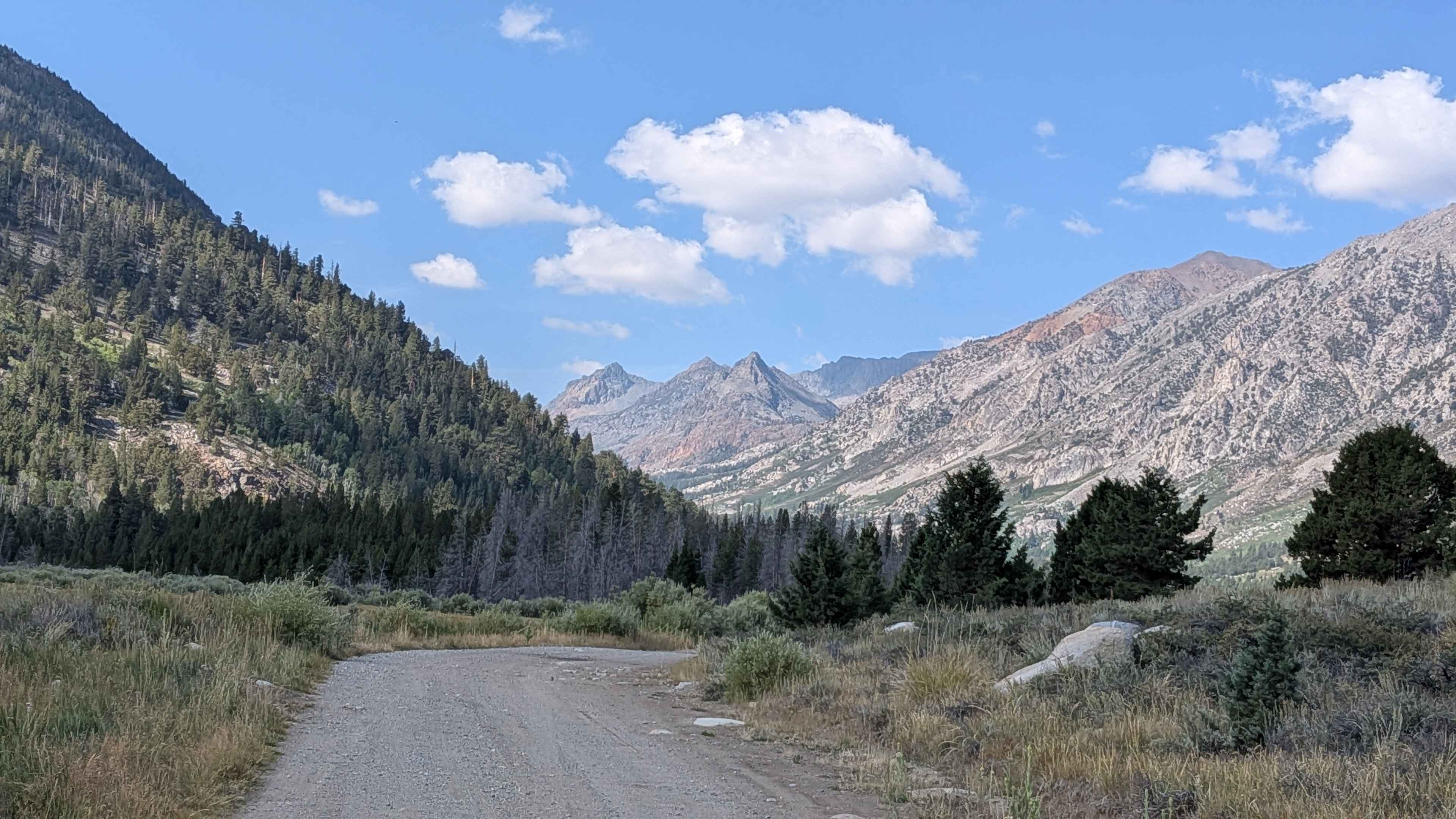
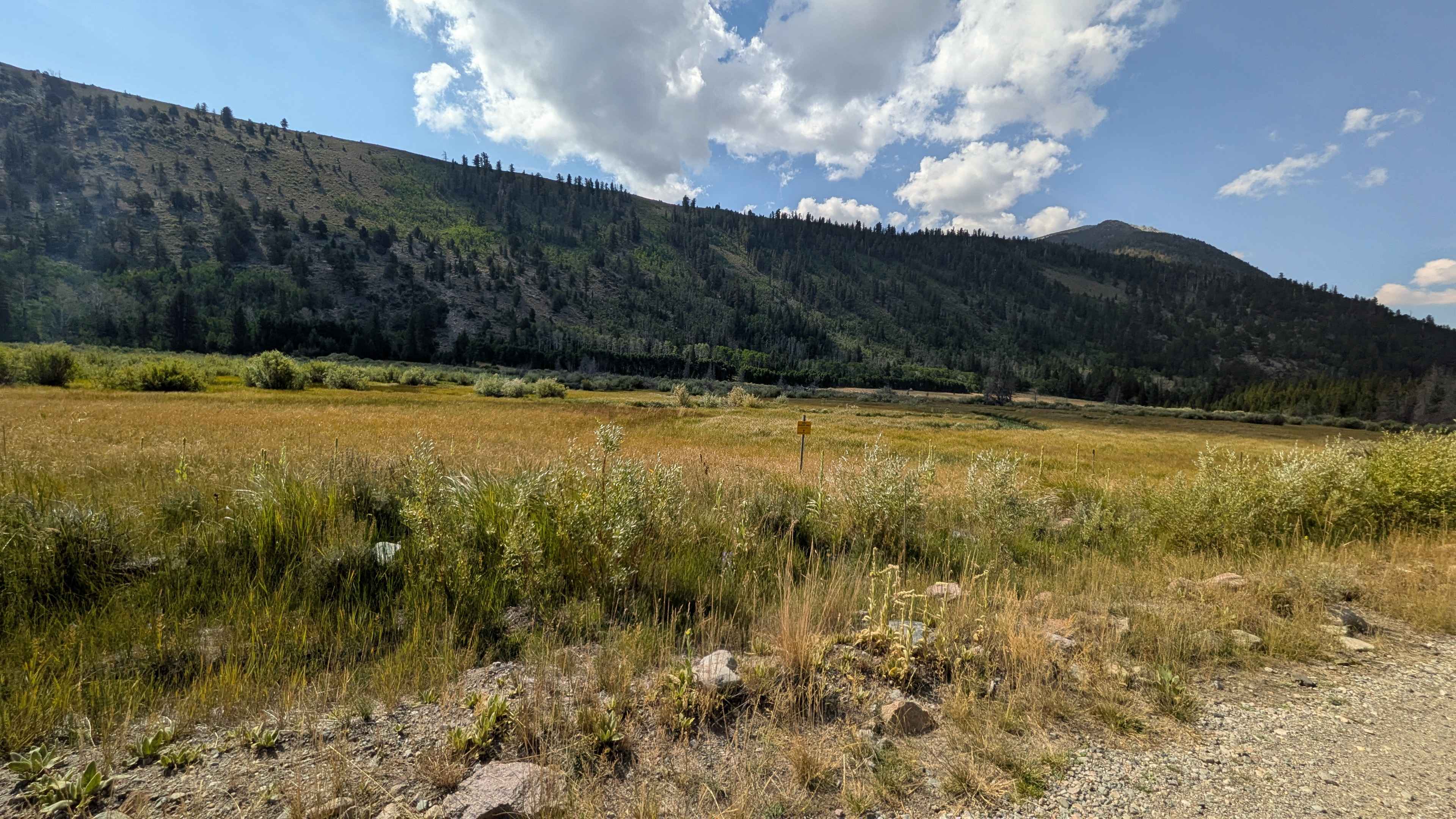
Trail Overview
This 11-mile out-and-back trail starts at Dunderberg Mill Road and climbs over 400 feet over just over 5.4 miles. It is a very popular, well-maintained trail. The trail starts directly on a shelf road, so use caution from the beginning. The route follows Green Creek but runs several hundred feet above it, offering beautiful views of Dunderberg Peak rising high above. This trail is part of the Toiyabe National Forest and the California Department of Fish and Wildlife, making it very popular with the fishing community. At 4 miles in, it leaves the meadow and enters a forest of aspens and pine trees that should be stunning in the fall. The trail offers stunning views of the surrounding mountains in the Hoover Wilderness, including Mount Conness, Petit Peak, Tower Peak, and Eagle Peak. At mile 5, the trail narrows to just under two vehicle widths before reaching the Green Creek Trailhead, where there's parking and bathrooms. The Green Creek established campground is about 5.5 miles in and also has bathrooms, with a few seasonal cabins at the end as well. Please be respectful of these facilities.
Photos of Green Creek Road - FS 32146
Difficulty
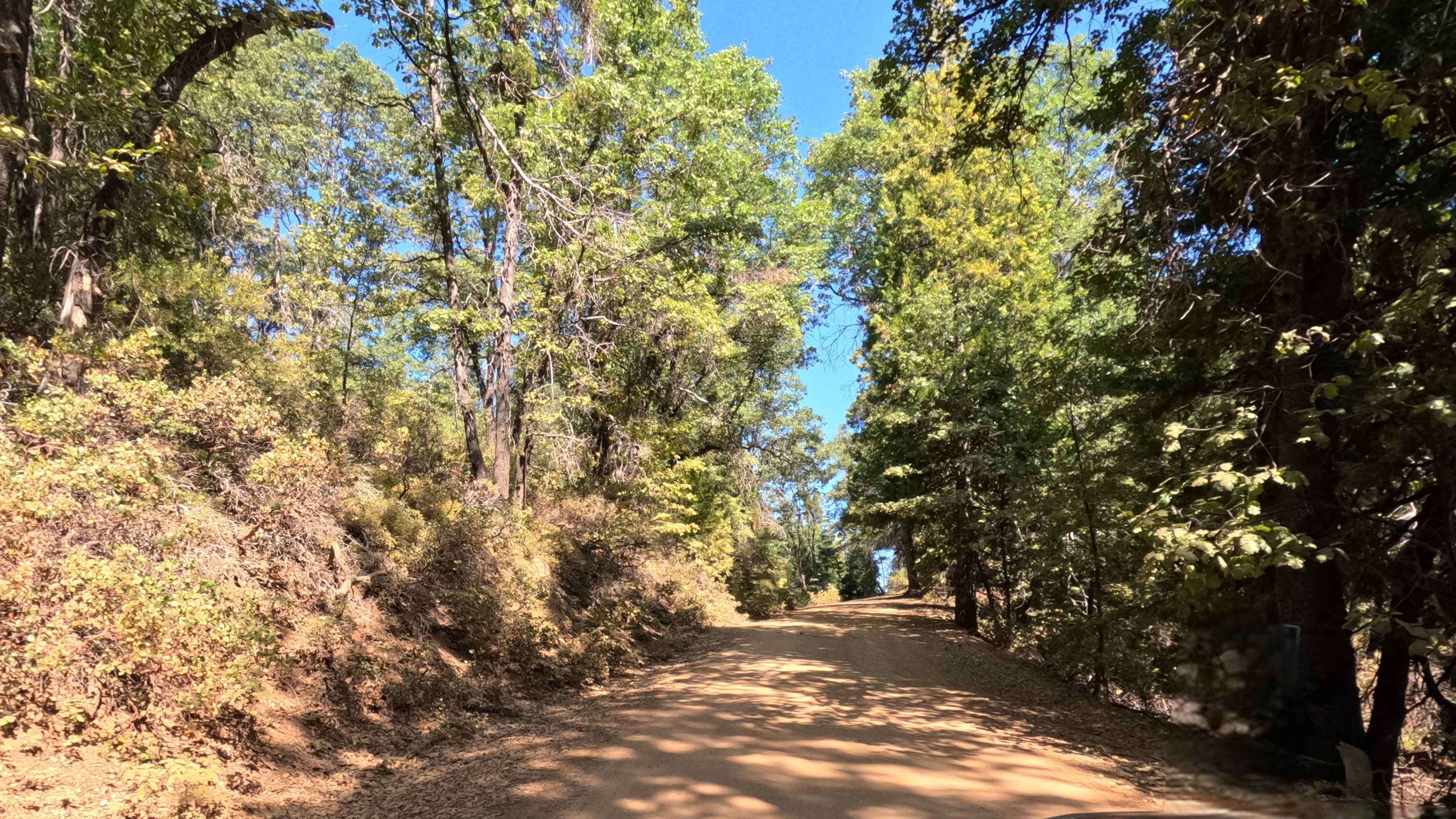
This trail earns the easiest difficulty rating with its sand and dirt surface mixed with some rocks, maintaining about two and a half vehicles-wide for most of the route. The trail is seasonally graded to maintain good conditions, though there can be washboards at times.
History
Green Creek Road near Bridgeport, California, has a rich history rooted in indigenous use, pioneering cattle ranching, and the establishment of one of America's earliest hydroelectric power plants to serve the Bodie Mines. The area later became a designated Green Creek Wildlife Area and a popular destination for outdoor recreation, including hiking, camping, and fly-fishing, along a primitive road leading into the Hoover Wilderness.
Status Reports
Green Creek Road - FS 32146 can be accessed by the following ride types:
- High-Clearance 4x4
- SUV
Green Creek Road - FS 32146 Map
Popular Trails
Summit - FS 5S009

Searles Valley Mineral Operations to 178

Plimco Mine Road at Spade Way
The onX Offroad Difference
onX Offroad combines trail photos, descriptions, difficulty ratings, width restrictions, seasonality, and more in a user-friendly interface. Available on all devices, with offline access and full compatibility with CarPlay and Android Auto. Discover what you’re missing today!