Coyote Flats to Funnel Lake
Total Miles
17.5
Technical Rating
Best Time
Spring, Summer, Fall
Trail Type
Full-Width Road
Accessible By
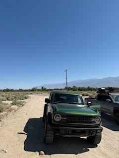
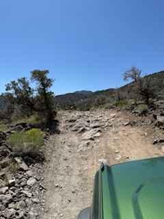
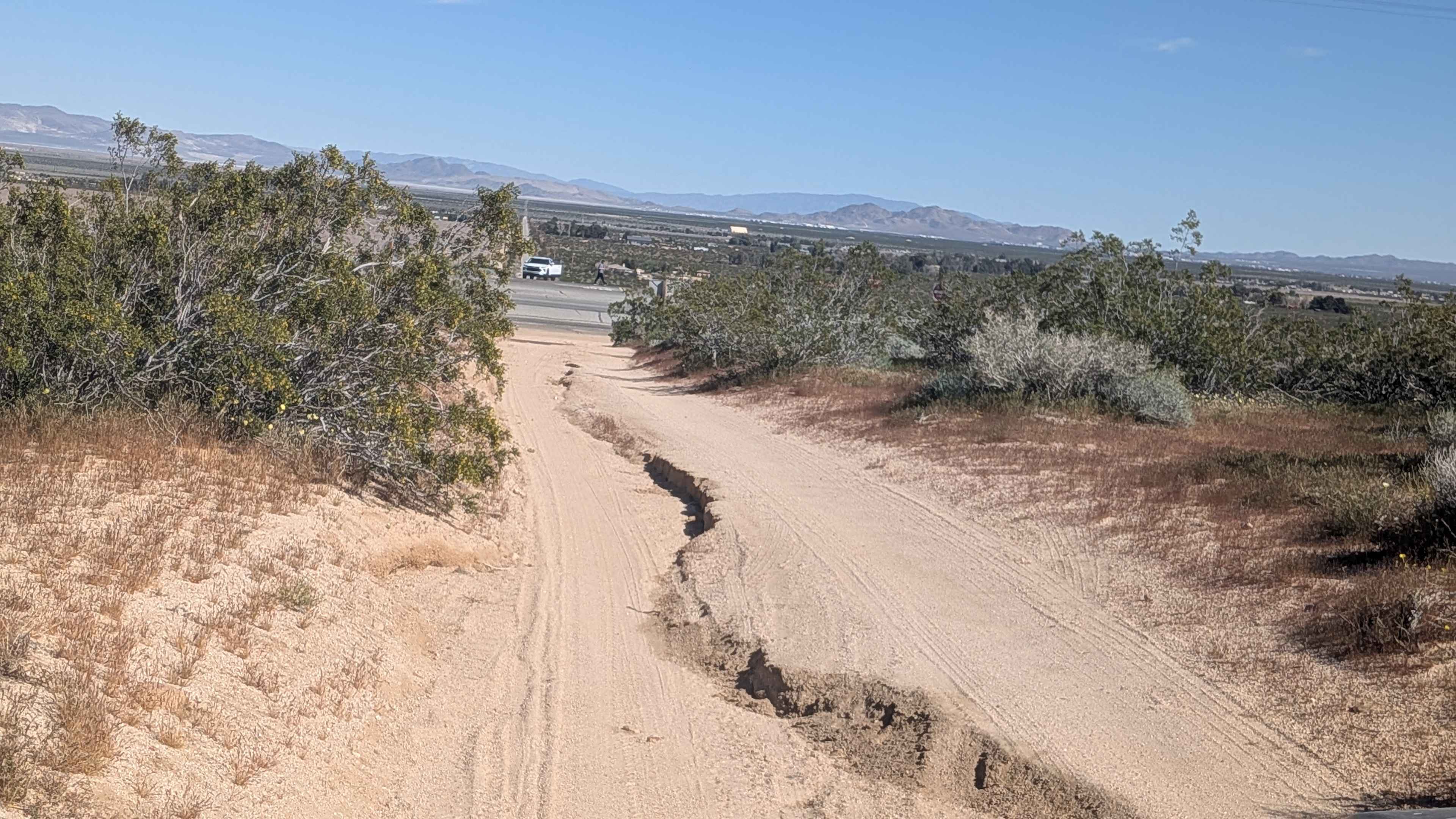
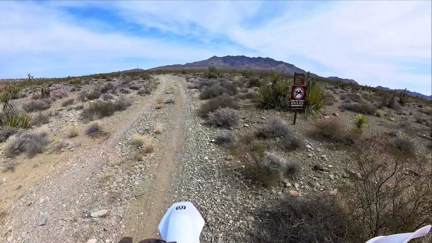
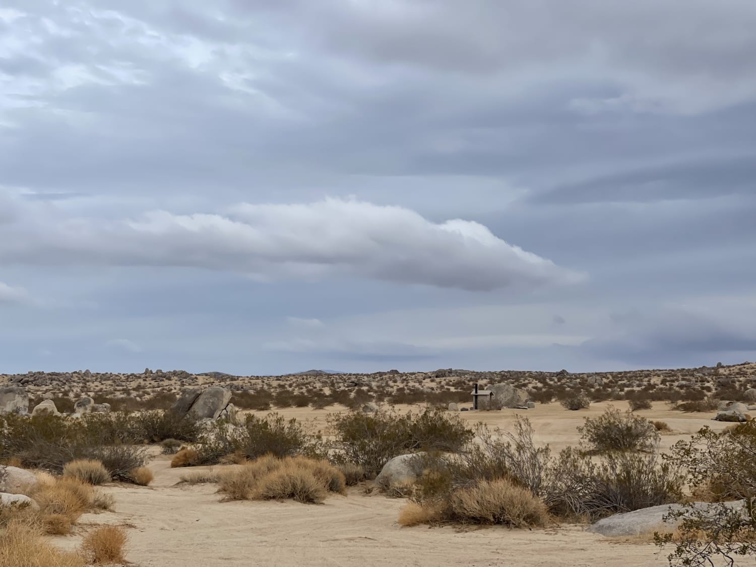
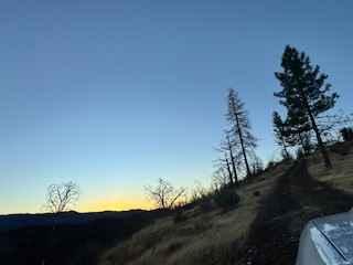
Trail Overview
This route starts in the City of Bishop. The trail climbs from around 4500 feet in elevation to over 10,000 feet. The trail is narrow, with few turnouts in the beginning half. The trails have various terrains, from sandy washboard to hard pack to rocky sections. There are two water crossings, and you will encounter snow if you travel in spring or early summer. Most high clearance four-wheel drive vehicles will make easy work of the trail. Once near Funnel Lake, there are two ways to enter, one of which is included with this track and is rocky with some large boulders to traverse. The other route is also very rocky, but the rocks are smaller. There are several camp spots around Funnel Lake, and the views are amazing. There are numerous other trails to explore in the area. Remember to tread lightly.
Photos of Coyote Flats to Funnel Lake
Difficulty
Two water crossings that can be deep depending on the time of year. Various step climbs with rocks up to 18".
Status Reports
Coyote Flats to Funnel Lake can be accessed by the following ride types:
- High-Clearance 4x4
- SUV
- SxS (60")
- ATV (50")
- Dirt Bike
Coyote Flats to Funnel Lake Map
Popular Trails
Leliter Road - BLM SE137
Pachalka Road
To the Edge and Back
The onX Offroad Difference
onX Offroad combines trail photos, descriptions, difficulty ratings, width restrictions, seasonality, and more in a user-friendly interface. Available on all devices, with offline access and full compatibility with CarPlay and Android Auto. Discover what you’re missing today!