FS 3S142
Total Miles
1.3
Technical Rating
Best Time
Summer, Fall
Trail Type
Full-Width Road
Accessible By
Trail Overview
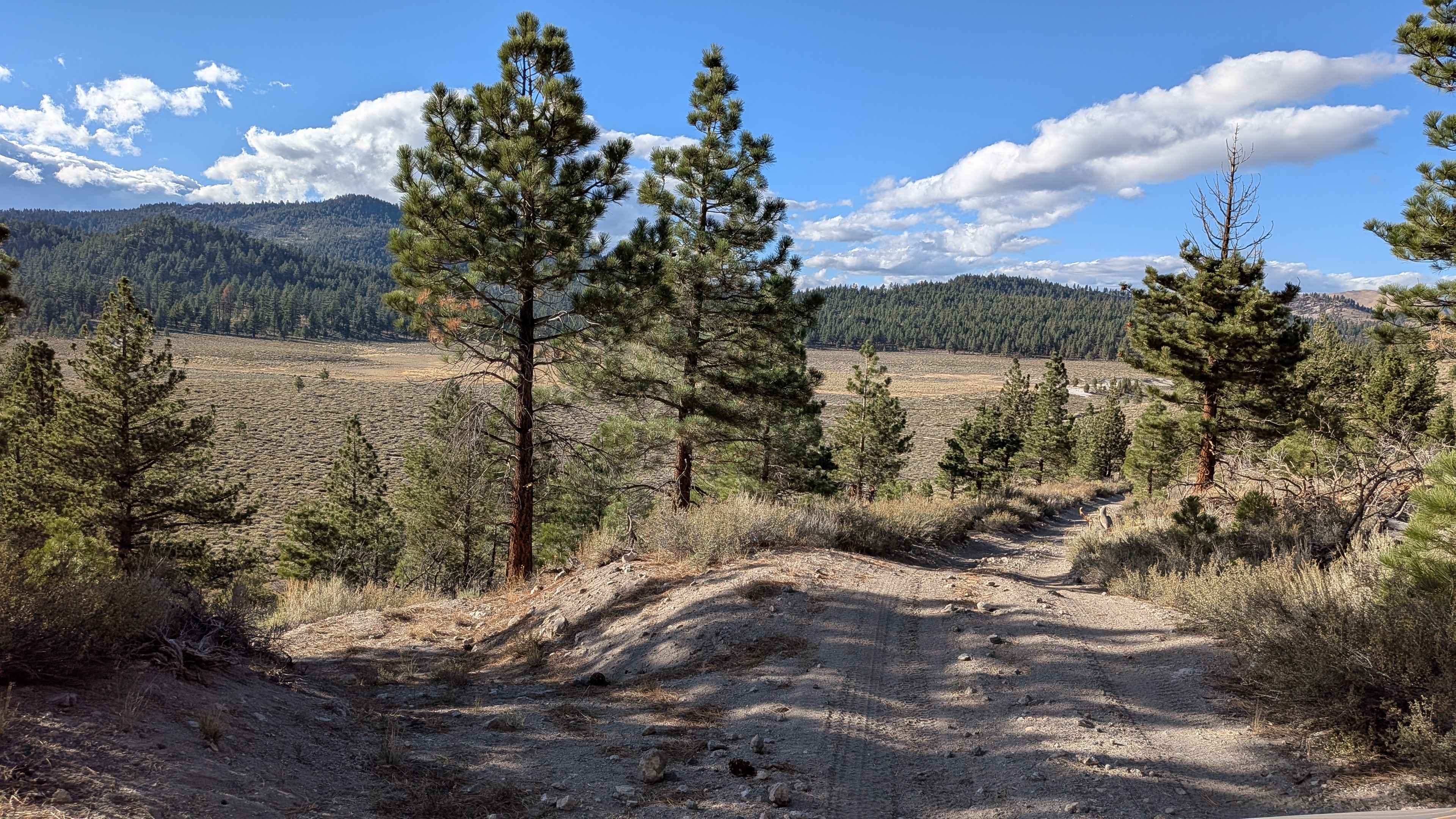
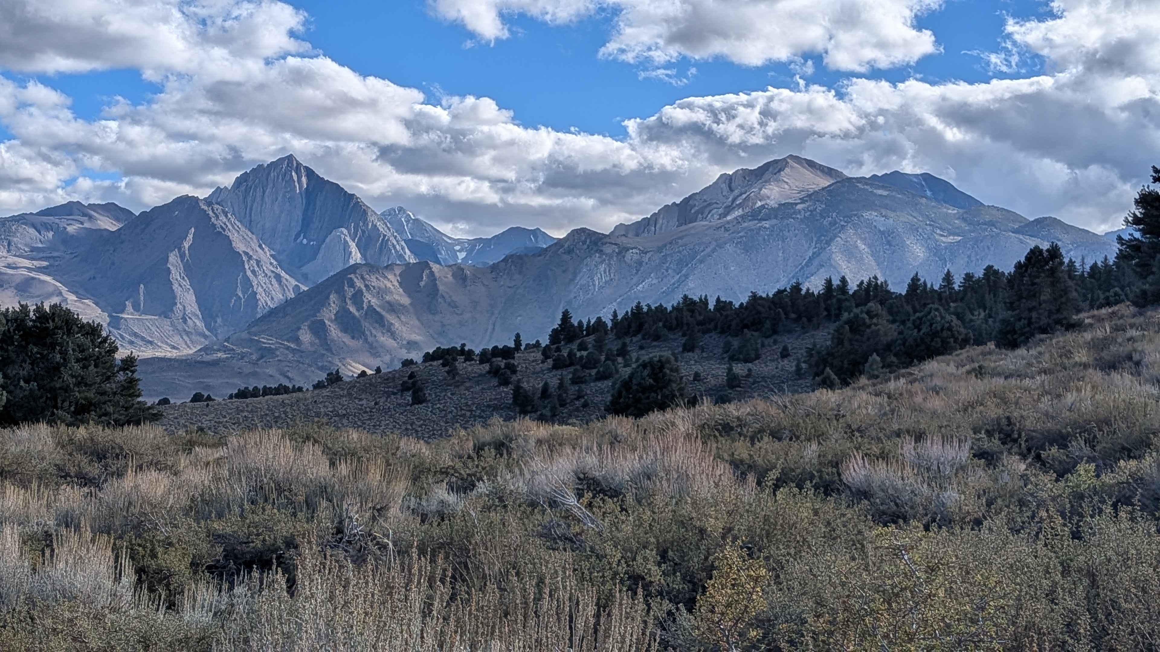
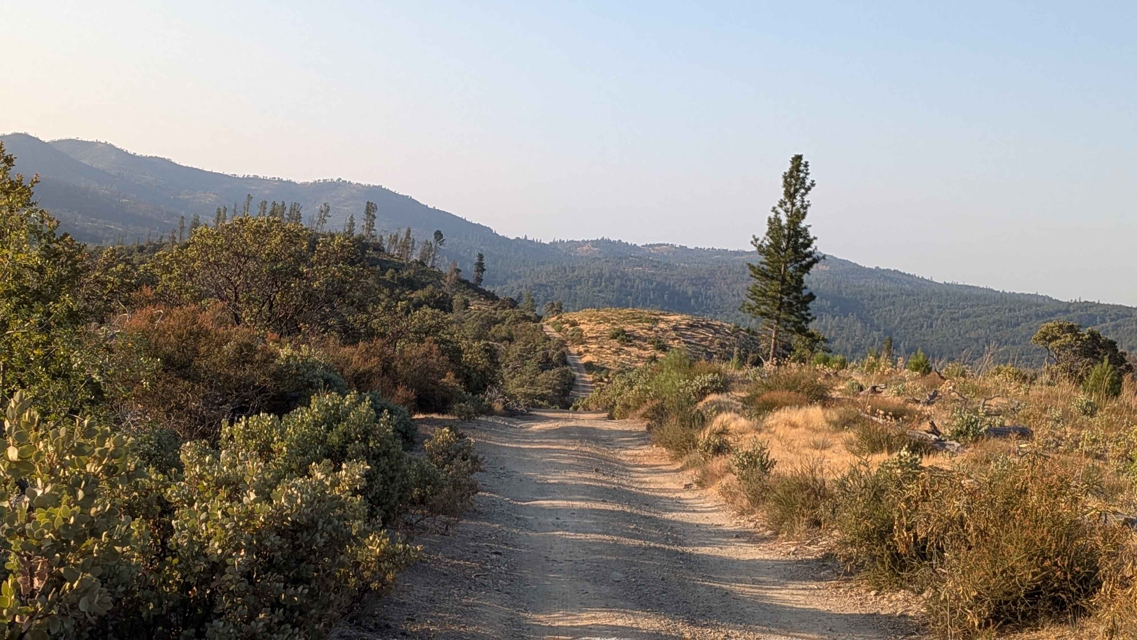
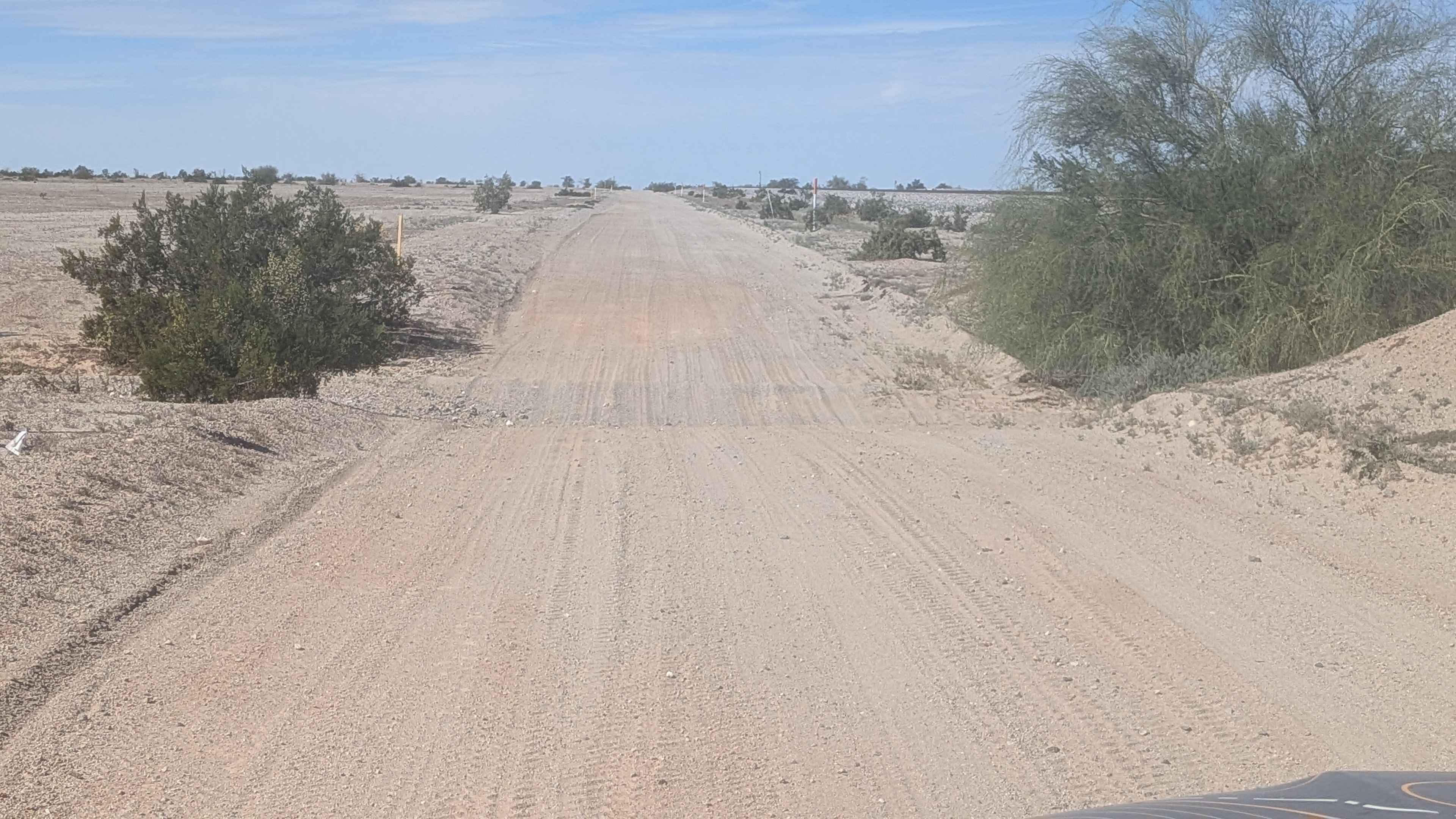
This 2.3-mile route begins in an open brush-lined meadow before climbing into a sparse pine forest. The trail is narrow at one vehicle wide, with a surface of sand and pumice. Along the way, you'll enjoy sweeping views of the Eastern Sierra, the Glass Mountains, Mono Lake, and the White Mountains. Wildlife is abundant, with coyotes, bobcats, eagles, hawks, rabbits, and chipmunks often spotted in the area. The northern downhill stretch features deeper ruts under 12 inches, a few big humps, and off-camber sections. Some low-hanging branches along the trail may scrape even standard-height vehicles. Expect some whoops and washboards along the drive.
Photos of FS 3S142
Difficulty
High clearance and 4x4 are highly recommended due to ruts, whoops, off-camber sections, and uneven surfaces.
Status Reports
FS 3S142 can be accessed by the following ride types:
- High-Clearance 4x4
- SUV
- SxS (60")
- ATV (50")
- Dirt Bike
FS 3S142 Map
Popular Trails
Feliciana Mountain Road - FS 4S012

South Fork Lakeshore Trail
Onion Springs - FS 27E223
Pipeline Cutoff
The onX Offroad Difference
onX Offroad combines trail photos, descriptions, difficulty ratings, width restrictions, seasonality, and more in a user-friendly interface. Available on all devices, with offline access and full compatibility with CarPlay and Android Auto. Discover what you’re missing today!