FS 4S101
Total Miles
2.5
Technical Rating
Best Time
Fall, Summer
Trail Type
Full-Width Road
Accessible By
Trail Overview
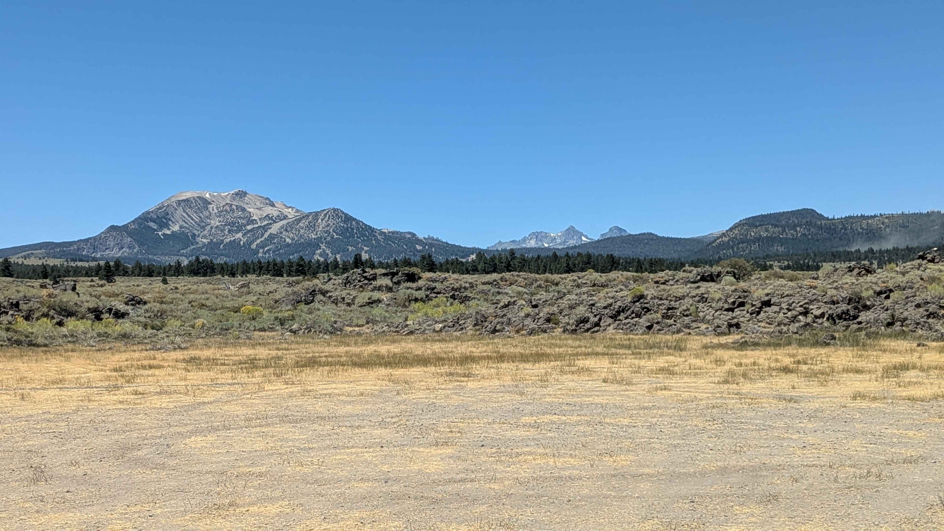
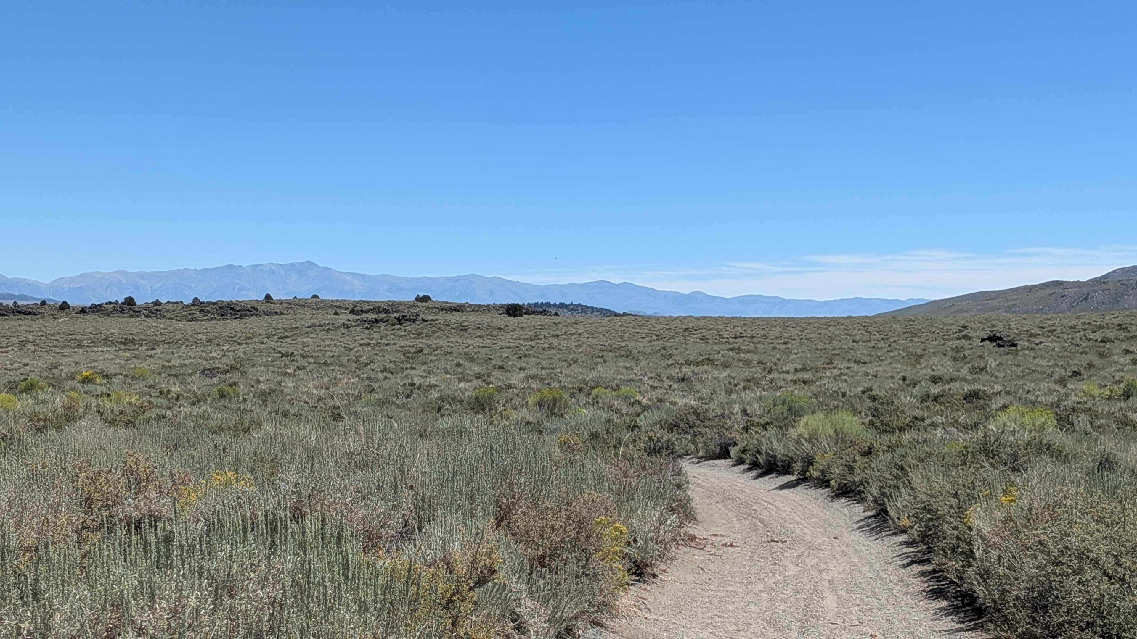
This tight, sandy track winds through a dense corridor of sagebrush and high desert flora, with brush overgrowth close enough to scratch paint--particularly on wider vehicles. The trail is well-worn from heavy side-by-side traffic, creating deep whoops and ruts that demand driver attention and a capable suspension. The route can be accessed from Sherwin Creek Road or FS 4S08F, with the most engaging terrain starting about one mile in, where the trail begins to cut into forested sections. Around mile 1.3, there is a small rock garden, and near the Sherwin Creek entrance, you'll tackle a short hill climb with embedded rocks--a section that becomes more technical in dry or loose conditions. Stunning views open up along the way, including Laurel Mountain, the Sherwins, Mammoth Mountain, the Minarets, Mount Banner, and Mount Ritter. On windy days, dust clouds can significantly reduce visibility and coat gear and interiors. Keep in mind this is a shared-use trail, so watch for hikers and mountain bikers.
Photos of FS 4S101
Difficulty
Surface: Soft sand with rocky sections and exposed roots. Obstacles: Deep ruts, frequent whoops, overgrown vegetation, narrow passages. Vehicle Requirements: High-clearance 4WD is required. Long wheelbase or low-clearance vehicles may bottom out in the center ruts. Hazards: Paint scratches from brush, reduced visibility in wind, and tight turns in forested sections. This trail is best suited for experienced off-roaders in properly equipped vehicles. Airing down is recommended to improve traction in sandy stretches.
Status Reports
FS 4S101 can be accessed by the following ride types:
- High-Clearance 4x4
- SUV
- SxS (60")
- ATV (50")
- Dirt Bike
FS 4S101 Map
Popular Trails
Pole Line Road North

La Colorado Mine


Augie's Way
The onX Offroad Difference
onX Offroad combines trail photos, descriptions, difficulty ratings, width restrictions, seasonality, and more in a user-friendly interface. Available on all devices, with offline access and full compatibility with CarPlay and Android Auto. Discover what you’re missing today!