FS 3S60E/F
Total Miles
2.1
Technical Rating
Best Time
Summer, Fall
Trail Type
Full-Width Road
Accessible By
Trail Overview
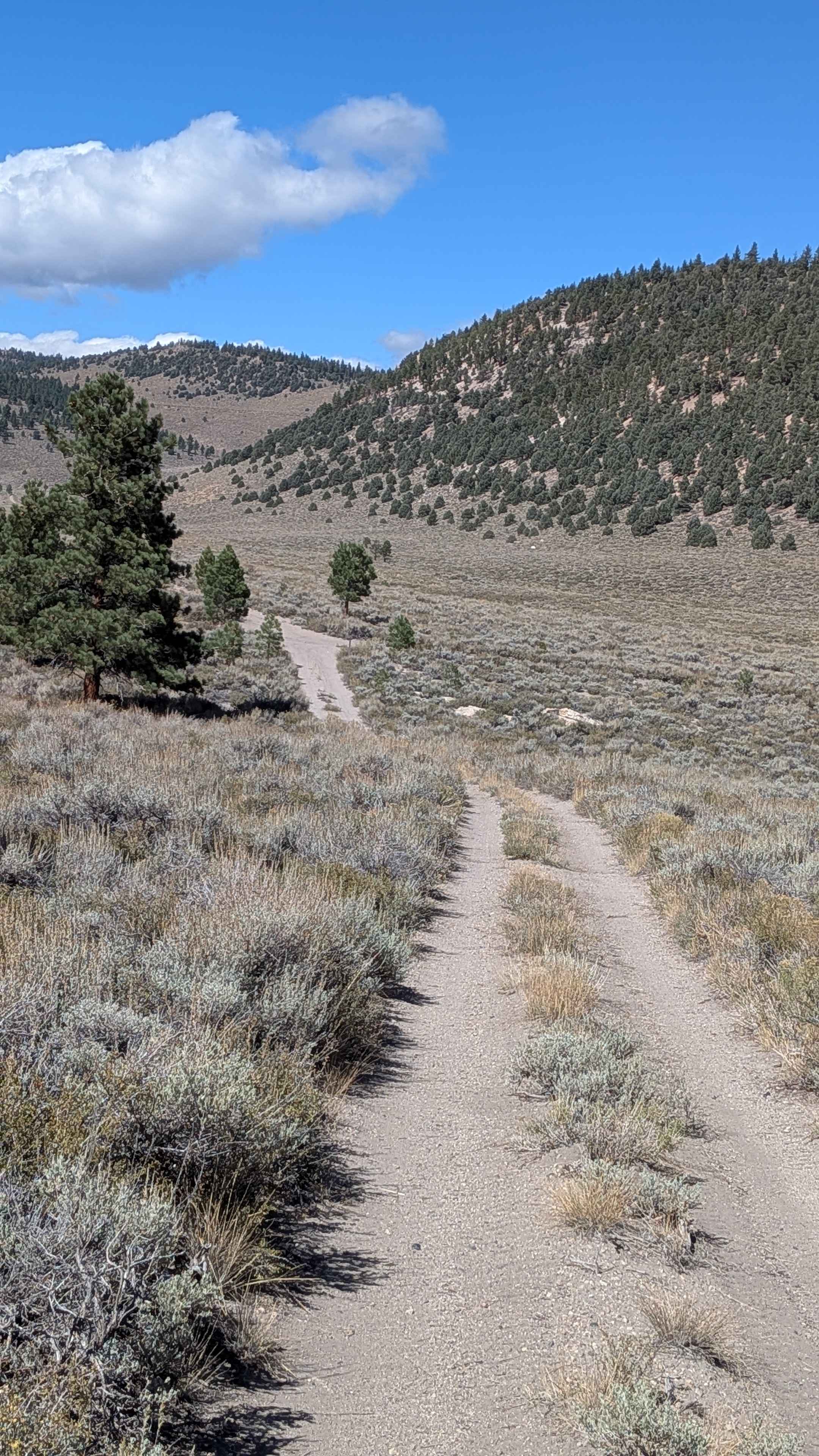
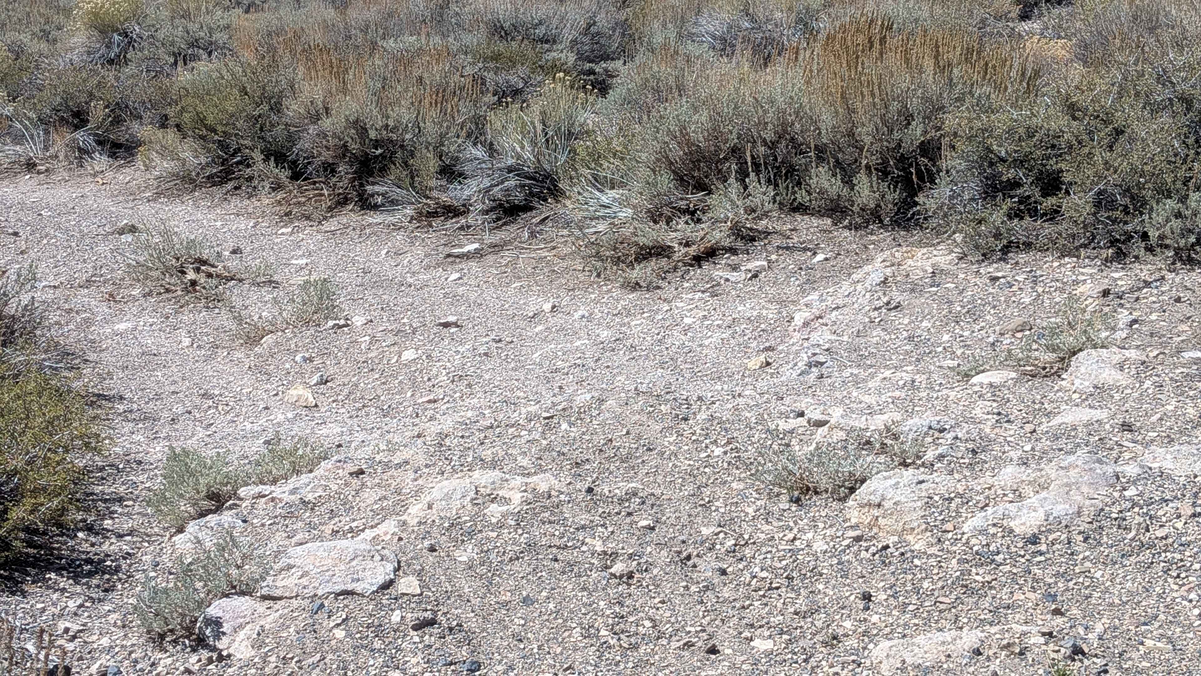
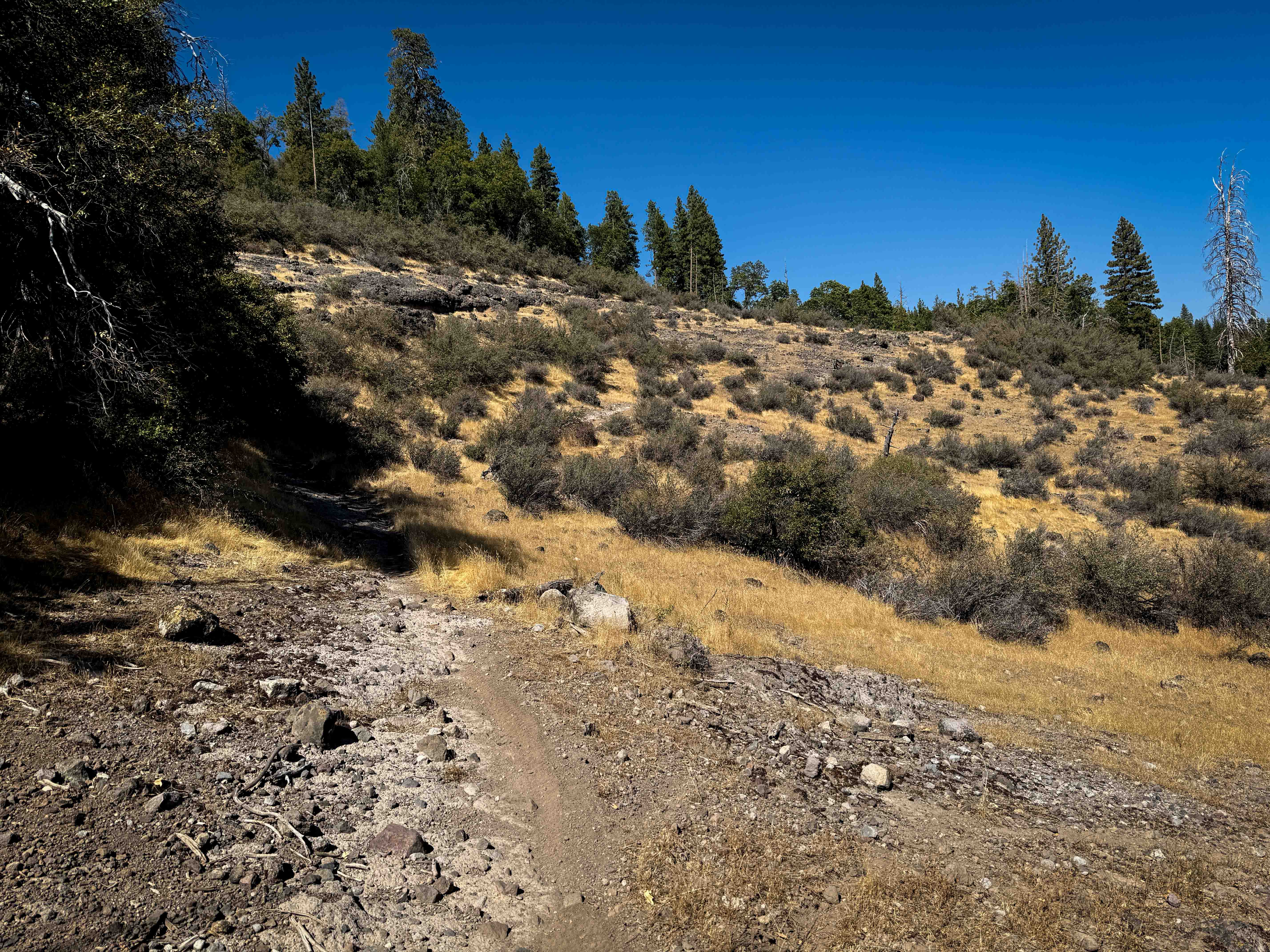
This trail starts at the junction of Forest Service Road 3S134 and 3S60, and ends at Forest Service Road 3S60D, cutting through a meadow surrounded by hills and the Eastern Sierra. The route delivers dramatic views of Sherwin Mountain, Mount Morrison, Mini Morrison, and other peaks along Highway 395, as well as the White Mountains, creating an impressive 360-degree mountain panorama throughout the journey. The trail surface consists of sand and pumice and is relatively smooth for the majority of the route. The trail begins in the meadow and follows a fence line before looping around and heading up a hill into a small, sparse pine forest environment. The center median of the trail has thick, overgrown sagebrush that low clearance vehicles will rub against, requiring consideration for undercarriage protection or acceptance of contact with vegetation. One section features very narrow spacing between trees, where Sierra pinstripes are unavoidable as vegetation contacts vehicle sides. A couple of low-hanging tree branches in this area could also hit taller vehicles, requiring awareness of both width and height clearance. Despite these technical sections, the relatively smooth sand and pumice surface, combined with spectacular scenic rewards, makes this an excellent route for those with appropriate vehicle clearance.
Photos of FS 3S60E/F
Difficulty
Although most of the trail rates as a 1 to 2 in difficulty, two specific sections elevate the overall rating to 3. The first challenging section features a small hill with some rock ledges under 12 inches that demand high clearance, which is highly recommended for this portion to avoid undercarriage damage. The second challenging section occurs at the north end of the trail, where a very steep but short sandy hill requires momentum management and careful throttle control to prevent getting stuck or losing traction on the loose surface.
Status Reports
FS 3S60E/F can be accessed by the following ride types:
- High-Clearance 4x4
- SUV
- SxS (60")
- ATV (50")
- Dirt Bike
FS 3S60E/F Map
Popular Trails

EC 311 Yuha Desert

Verdi-Sardine-Loyalton
The onX Offroad Difference
onX Offroad combines trail photos, descriptions, difficulty ratings, width restrictions, seasonality, and more in a user-friendly interface. Available on all devices, with offline access and full compatibility with CarPlay and Android Auto. Discover what you’re missing today!