FS 3S150
Total Miles
2.4
Technical Rating
Best Time
Fall, Summer
Trail Type
Full-Width Road
Accessible By
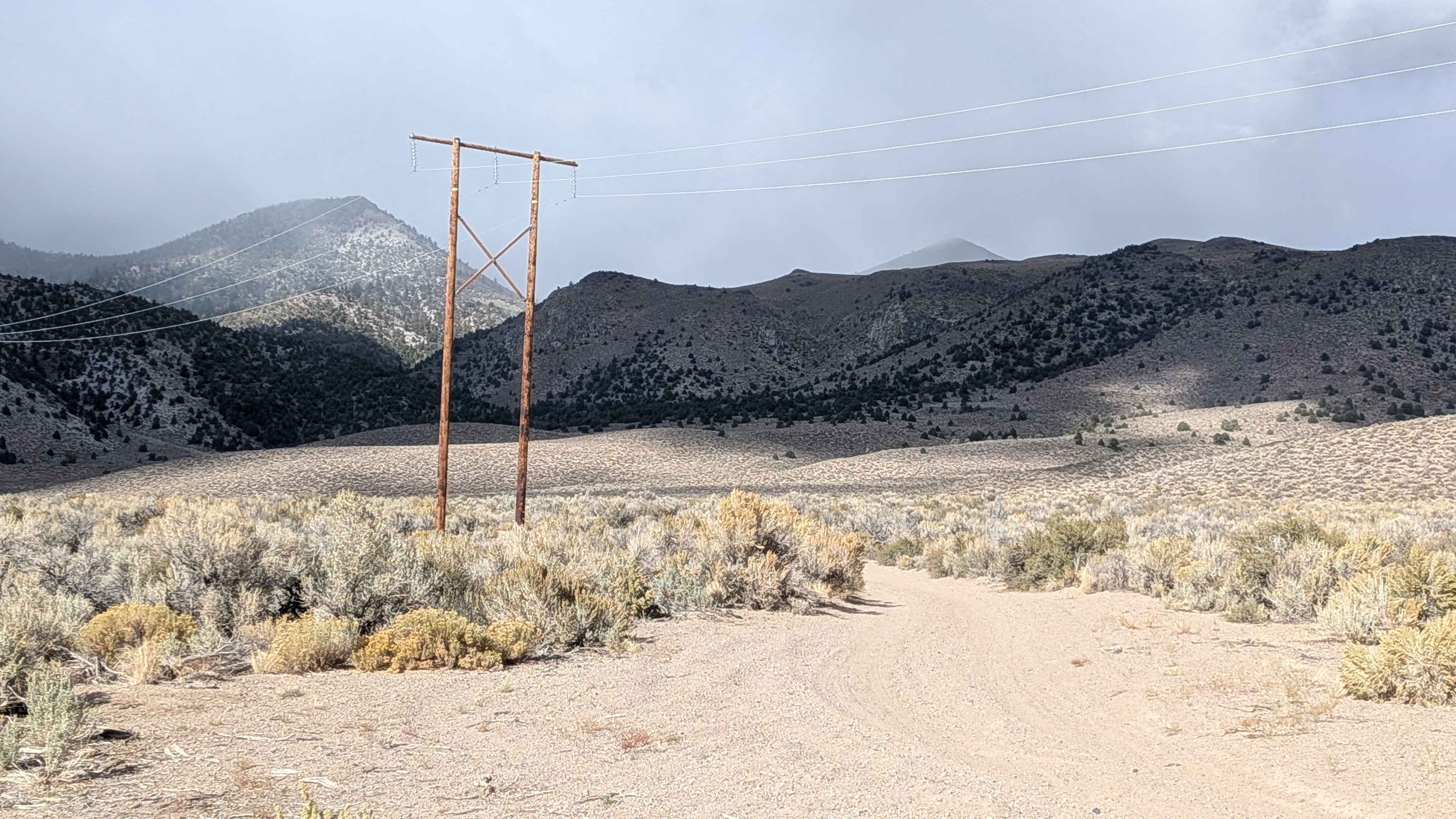
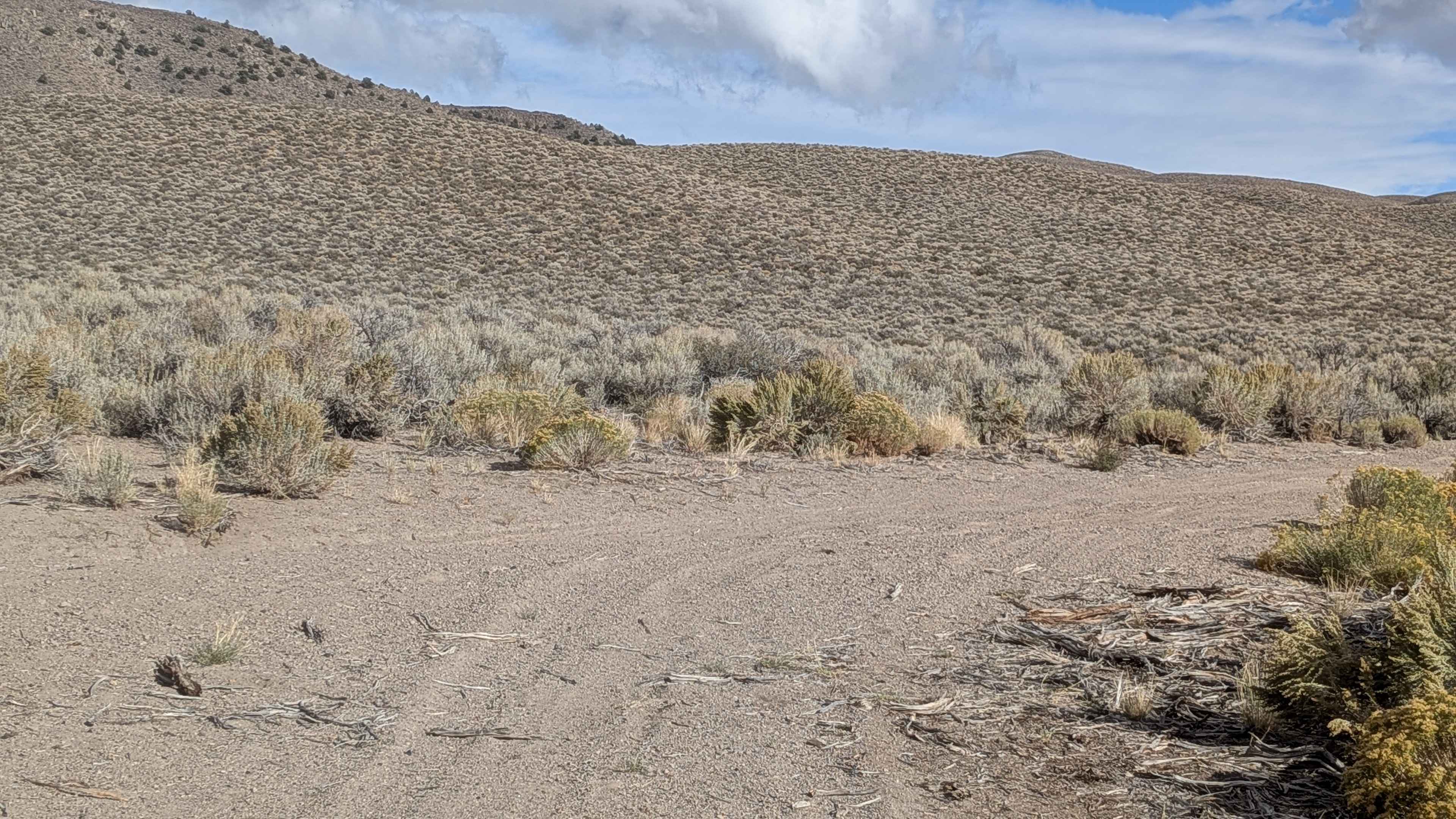
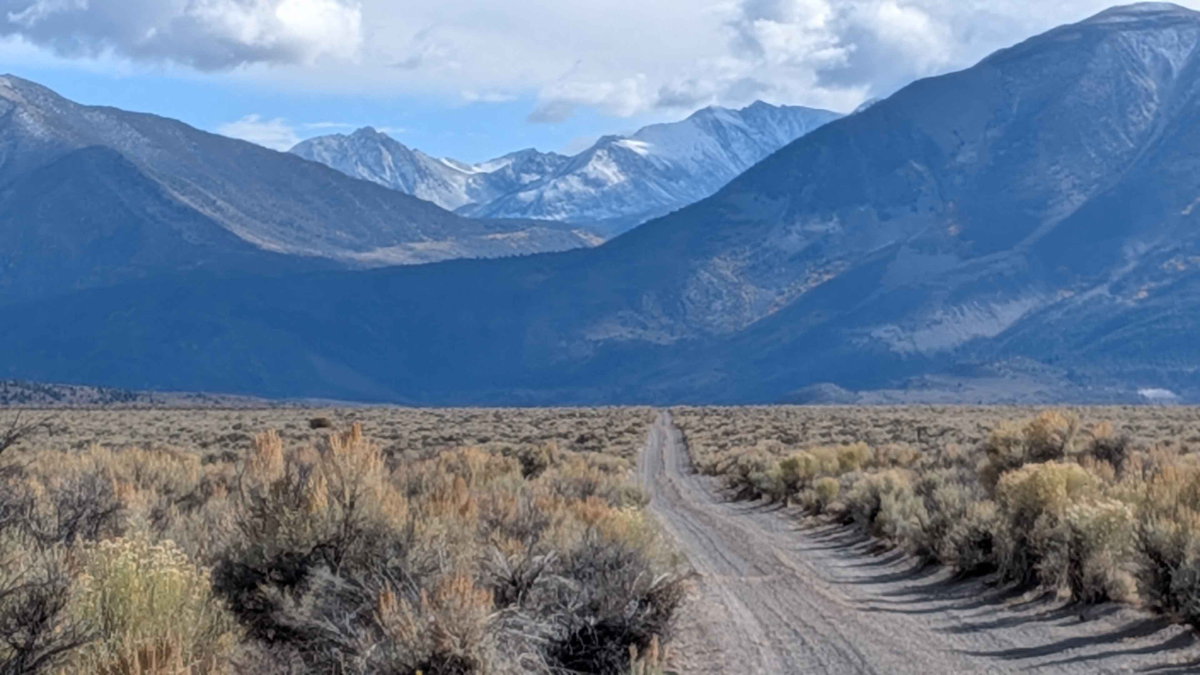
Trail Overview
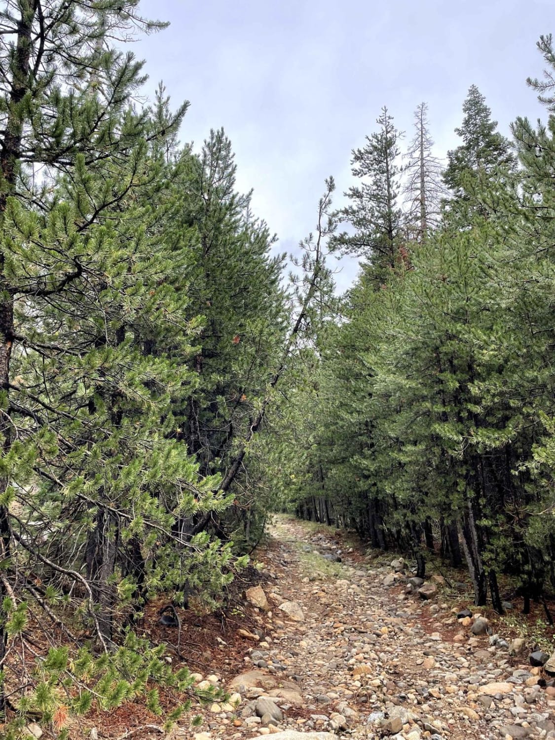
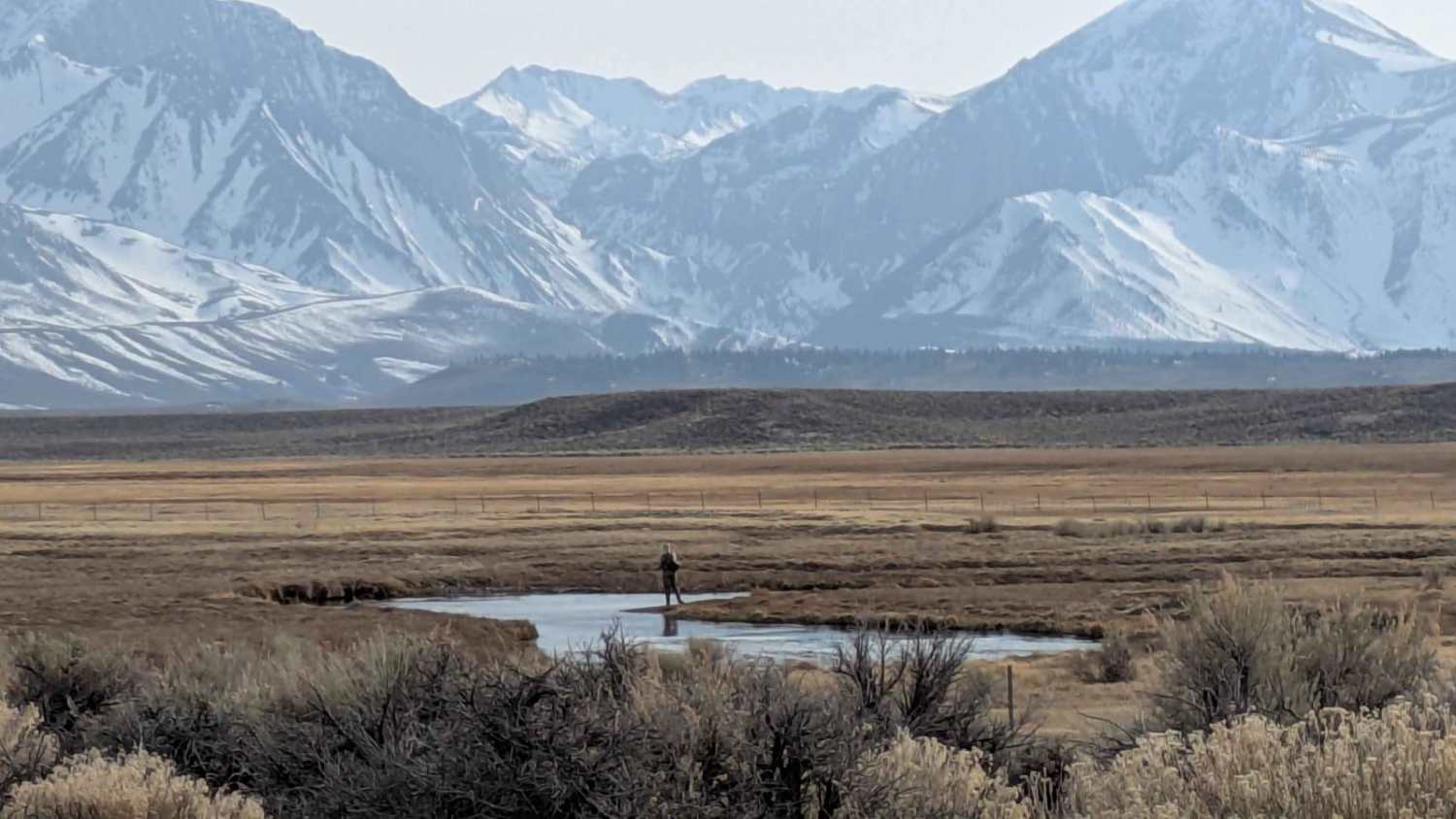
This 2.38-mile point-to-point route takes you to Wilford Canyon and Wilford Creek through less-traveled terrain. The sand and pumice surface runs one vehicle wide, lined on both sides with short sagebrush. Since this trail sees less use, overgrown sagebrush grows in the middle of the track, which may cause issues for low-clearance vehicles. The trail offers spectacular 360-degree views of the Glass Mountains and Eastern Sierras, spanning from Mount Ritter and Banner Peak all the way down to Mount Morrison and beyond. You'll pass a couple of sets of cattle watering troughs along the way.
Photos of FS 3S150
Difficulty
This route is generally easy, but overgrown sagebrush in the middle of the trail will cause problems for low-clearance vehicles.
Status Reports
FS 3S150 can be accessed by the following ride types:
- High-Clearance 4x4
- SUV
- SxS (60")
- ATV (50")
- Dirt Bike
FS 3S150 Map
Popular Trails
Wilfred Canyon - FS 3S01A
Clarks Summit
O'Harrel Cyn Spur - FS 3S47A
The onX Offroad Difference
onX Offroad combines trail photos, descriptions, difficulty ratings, width restrictions, seasonality, and more in a user-friendly interface. Available on all devices, with offline access and full compatibility with CarPlay and Android Auto. Discover what you’re missing today!