O'Harrel Cyn Spur - FS 3S47A
Total Miles
4.3
Technical Rating
Best Time
Fall, Summer, Spring
Trail Type
Full-Width Road
Accessible By
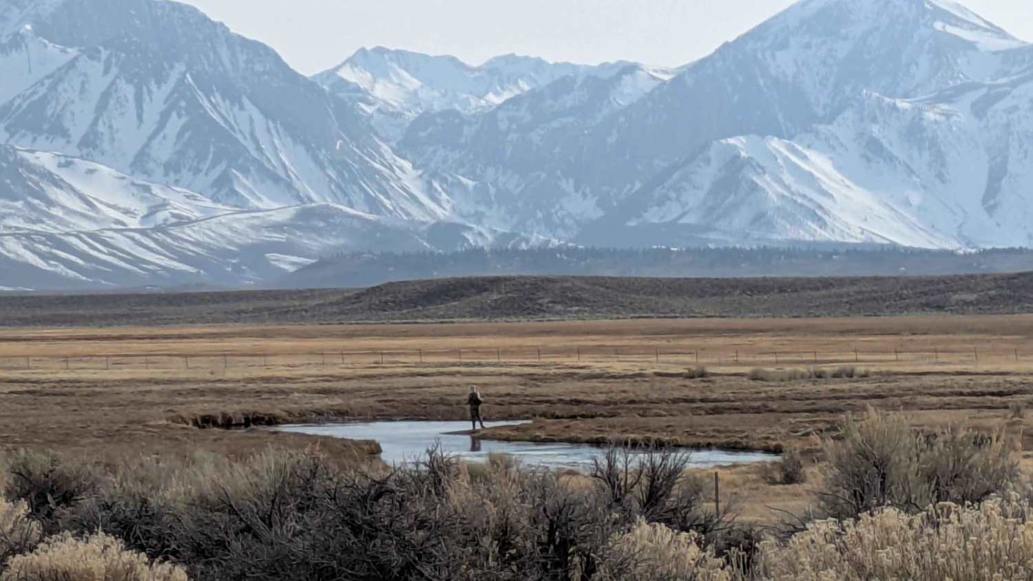
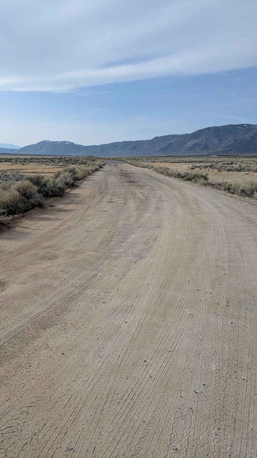
Trail Overview
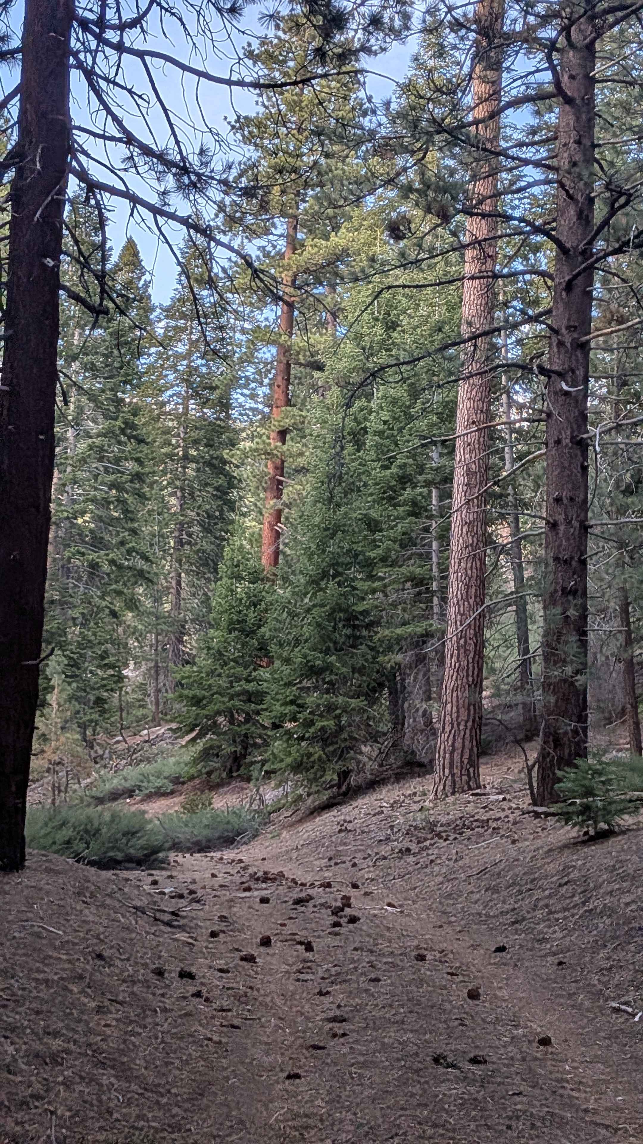
This out and back trail is just over four miles long. It is a sandy/dirt road which follows the the Upper Owens River toward Big Springs. There are many spur trails to pull off and explore and fish the Upper Owens River. There are beautiful views of the Glass Mountains to the Northeast and the Eastern Sierra's to the West.
Photos of O'Harrel Cyn Spur - FS 3S47A
Difficulty
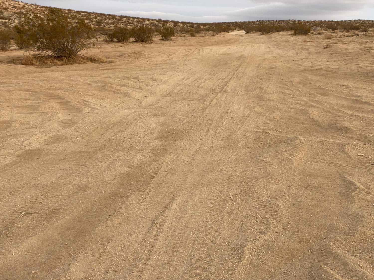
This mostly sandy trail is fairly easy, but has become uneven and has washboards with the heavy fishing traffic.
Status Reports
O'Harrel Cyn Spur - FS 3S47A can be accessed by the following ride types:
- High-Clearance 4x4
- SUV
O'Harrel Cyn Spur - FS 3S47A Map
Popular Trails
Fun Boundary Rip
Kern River Getaway - 27S30

Red Mountain Road
Horse Meadow Spur - FS 23S10A
The onX Offroad Difference
onX Offroad combines trail photos, descriptions, difficulty ratings, width restrictions, seasonality, and more in a user-friendly interface. Available on all devices, with offline access and full compatibility with CarPlay and Android Auto. Discover what you’re missing today!