FS 3S118
Total Miles
2.2
Technical Rating
Best Time
Fall, Summer
Trail Type
Full-Width Road
Accessible By
Trail Overview
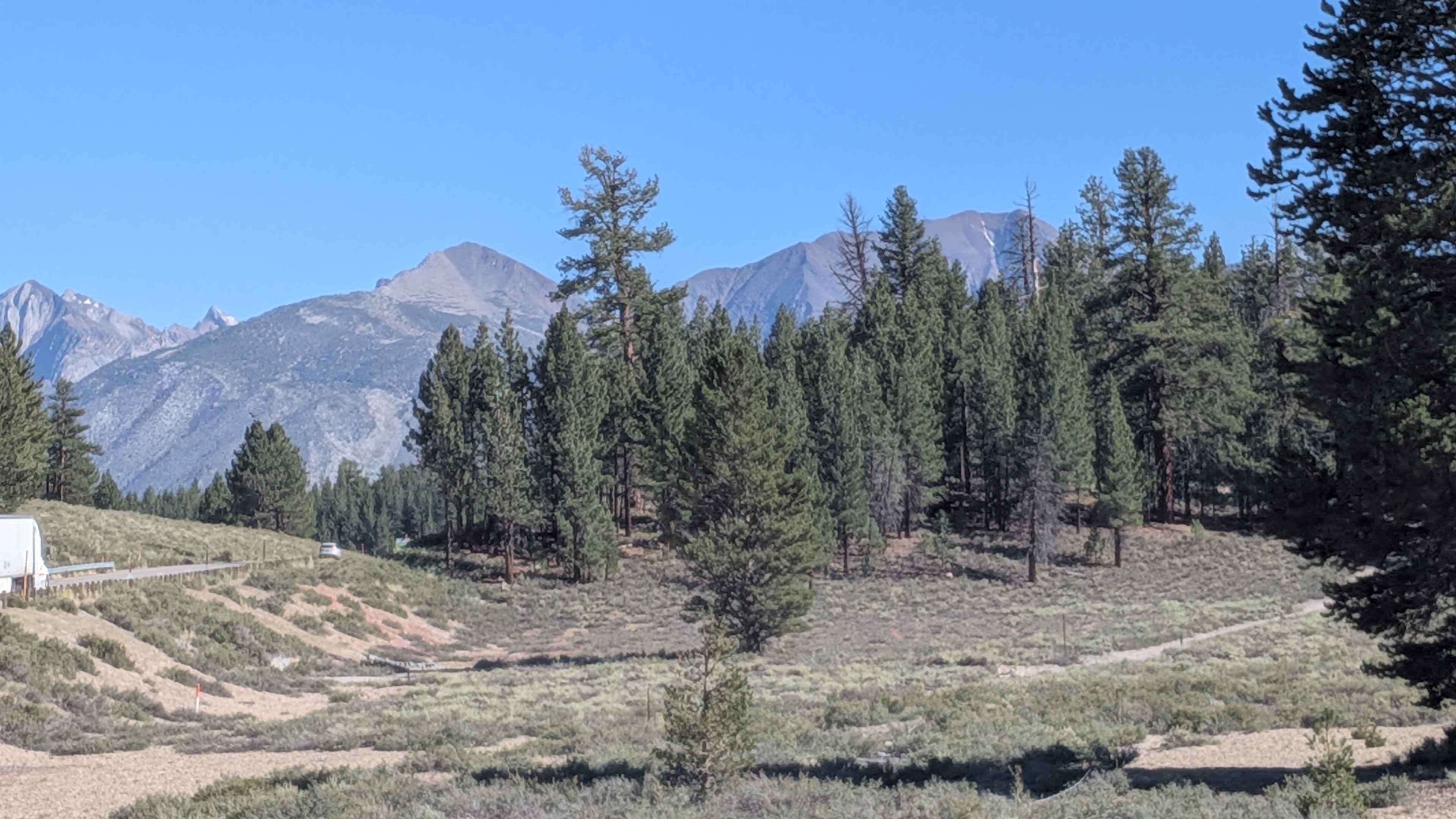
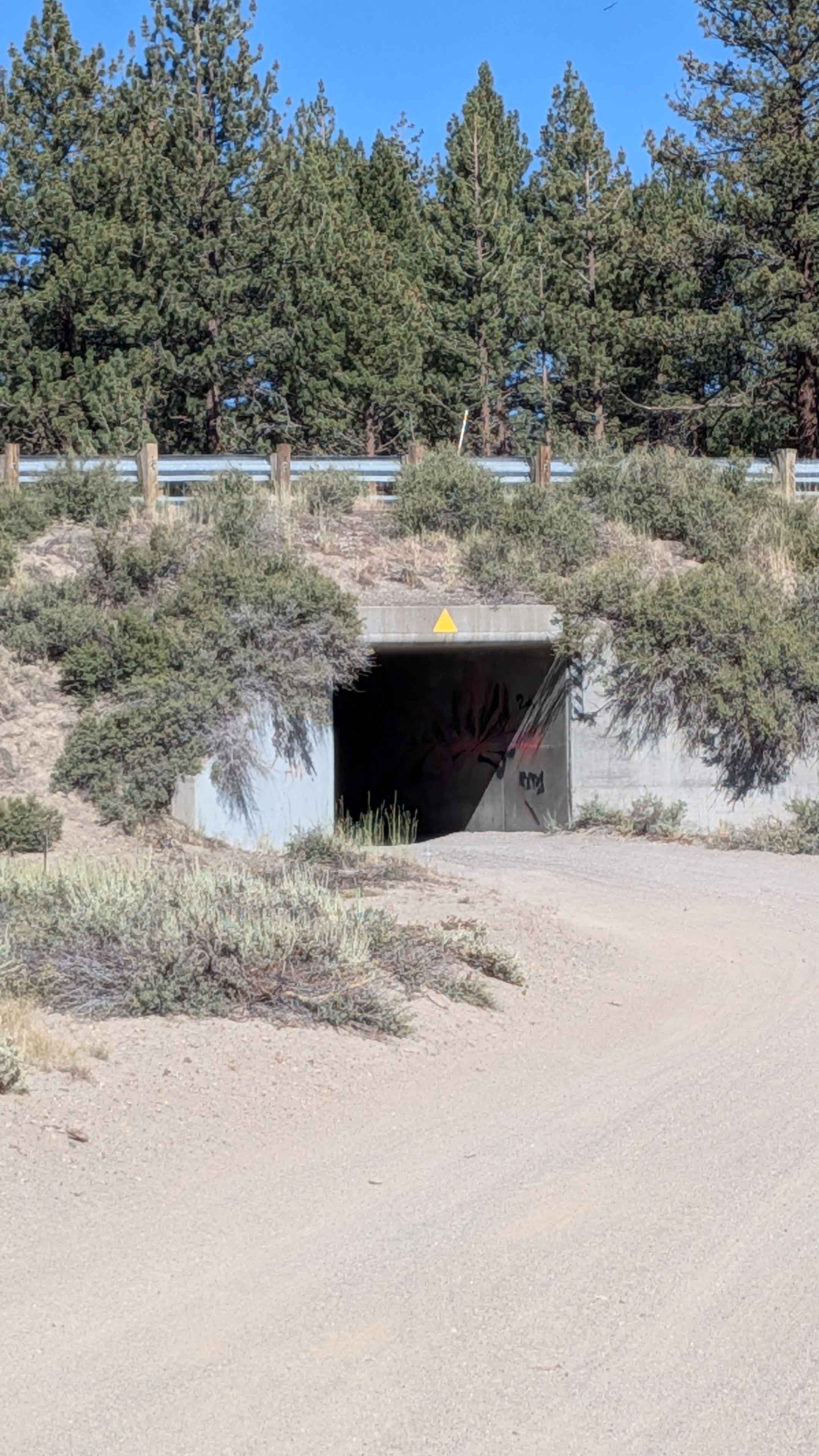
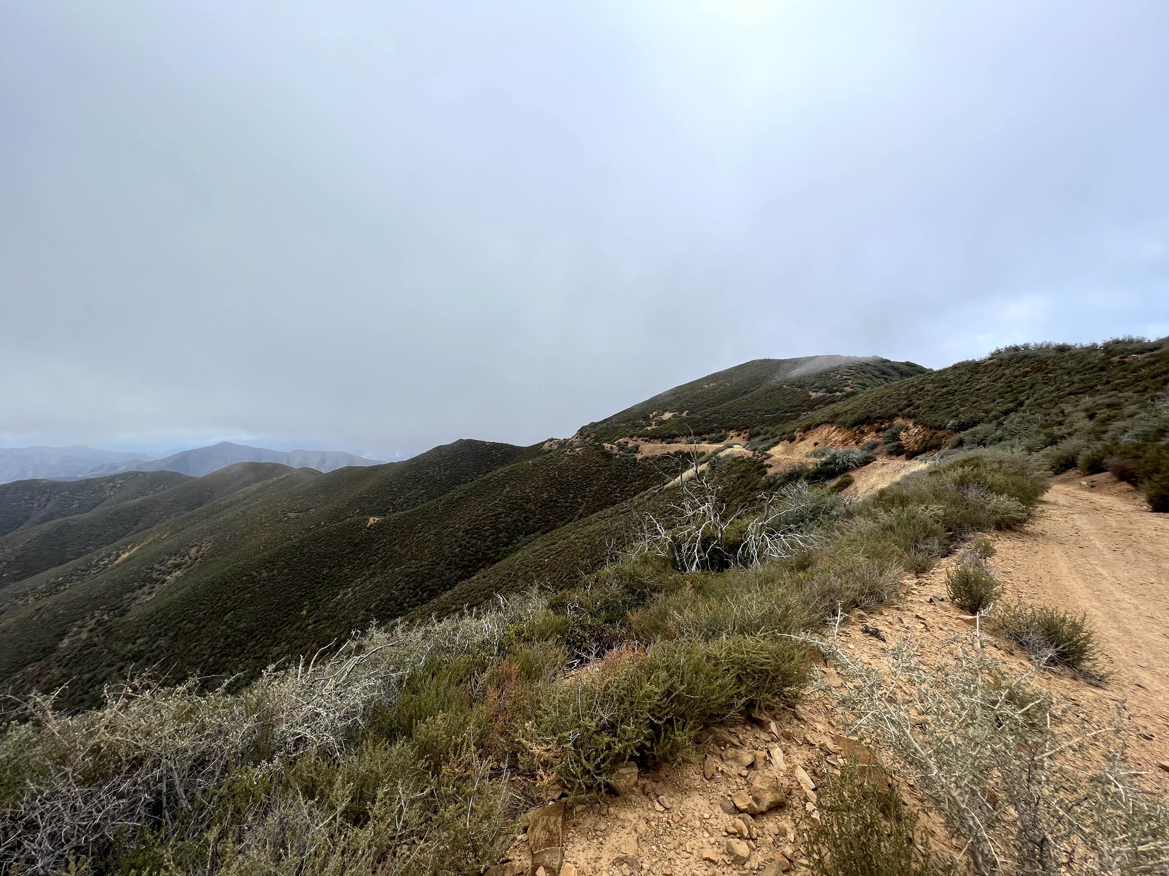
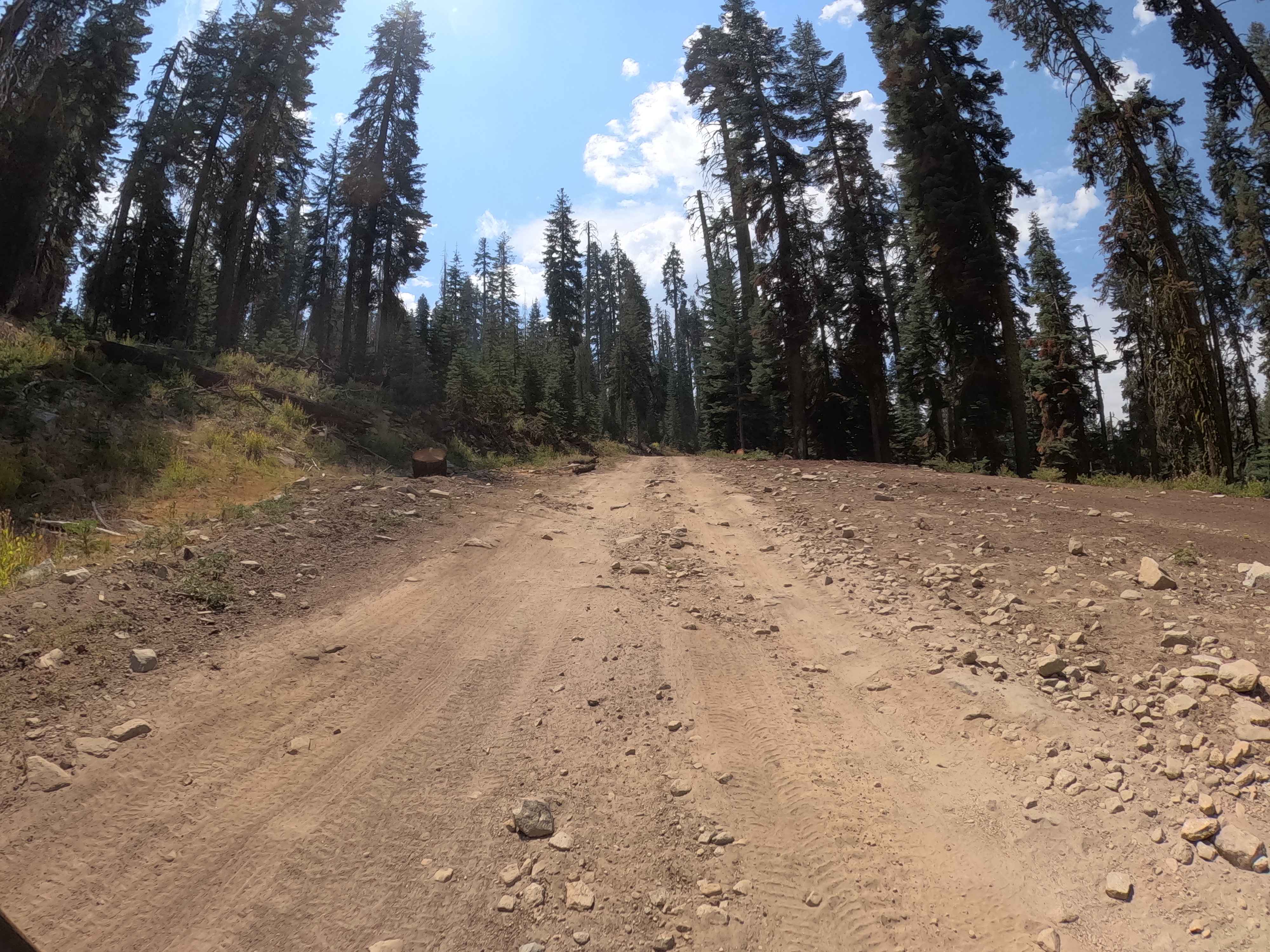
This trail begins just near the tunnel that passes under Highway 395, quickly immersing travelers into a quiet pine forest. The route twists and weaves through dense tree cover, offering a fun and engaging driving experience as it follows a serpentine line through the woods. Dust is prevalent, especially during dry or windy conditions, so be prepared for low visibility and dusty vehicle interiors. The trail is dotted with off-camber sections and multiple rutted hill climbs. Great tires are essential, even though 4WD isn't strictly necessary--particularly if you're running the trail north to south, as recommended. This direction avoids having to climb a steep, loose descent of over 300 feet in the final 1/2 mile, which includes deep holes and soft sand. A few dispersed camping spots are tucked along the way, ideal for a quiet forest overnight. However, after about 1.25 miles, the trail tightens significantly, with narrow corridors that can scratch wider rigs. These natural obstacles, combined with the varied terrain, make this trail both scenic and fun--especially for drivers seeking a light technical challenge in a peaceful setting.
Photos of FS 3S118
Difficulty
This trail earns an overall rating of 3 out of 5, but the majority of the route rides more like a 1 or 2. The forest floor is sandy and dusty, with sections of ruts, shallow steps, and off-camber inclines. A few short hill climbs contain loose rock and uneven surfaces that may challenge drivers in lower-clearance or poorly equipped rigs. The final half-mile descent (when traveling south to north) is the most demanding, featuring a steep, sandy drop with deep holes and limited traction, which is why running the trail north to south is strongly recommended. Although 4WD is not required, good tires and high clearance are essential, and less experienced drivers may find the final section difficult if going uphill.
Status Reports
FS 3S118 can be accessed by the following ride types:
- High-Clearance 4x4
- SUV
- SxS (60")
- ATV (50")
- Dirt Bike
FS 3S118 Map
Popular Trails
McPherson Peak - FS 32S13

3S04 Main Divide to Santiago Peak

Save the Rock - FS 5S039
The onX Offroad Difference
onX Offroad combines trail photos, descriptions, difficulty ratings, width restrictions, seasonality, and more in a user-friendly interface. Available on all devices, with offline access and full compatibility with CarPlay and Android Auto. Discover what you’re missing today!