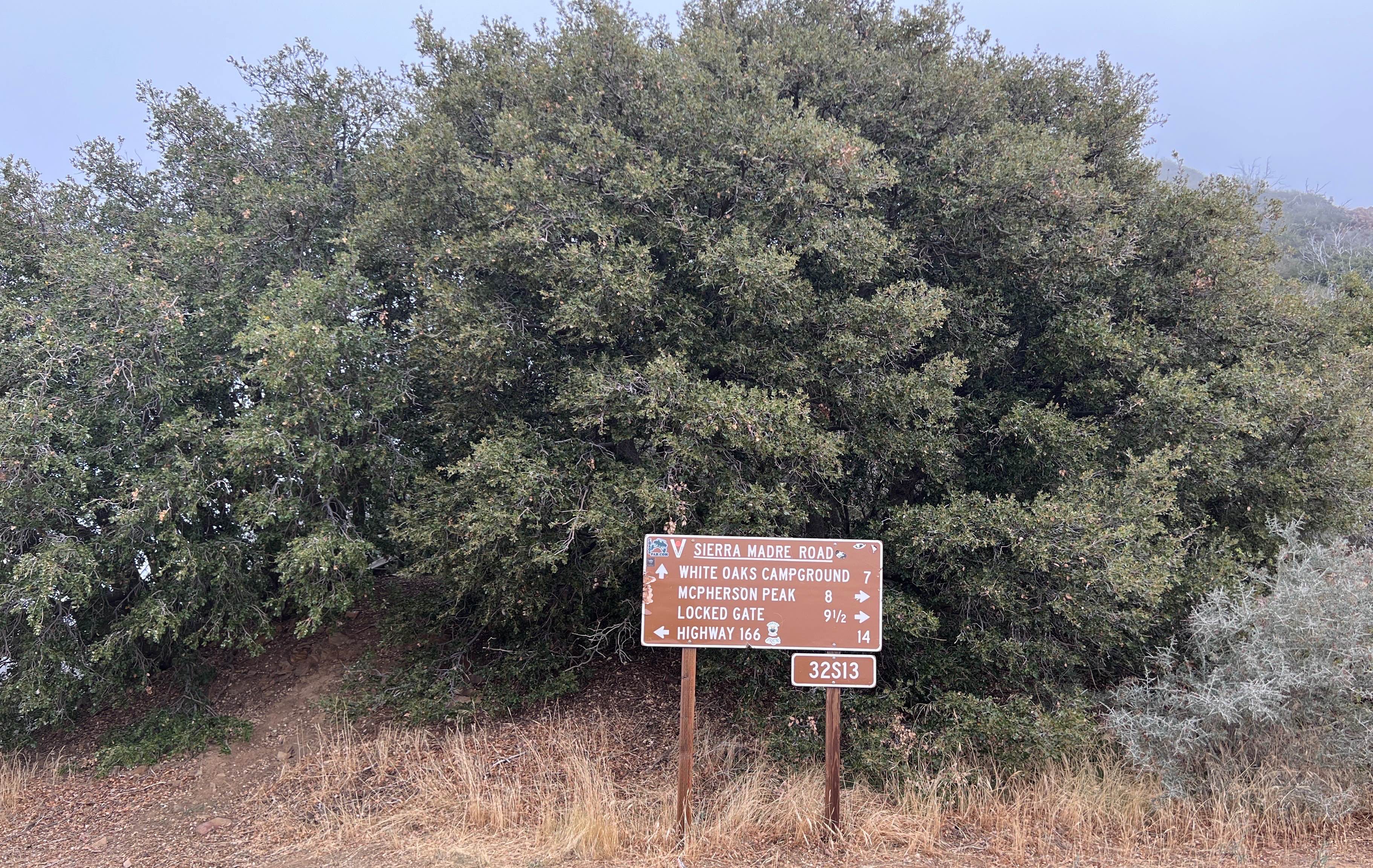
McPherson Peak - FS 32S13
Total Miles
7.0
Technical Rating
Best Time
Summer, Fall
Trail Type
Full-Width Road
Accessible By
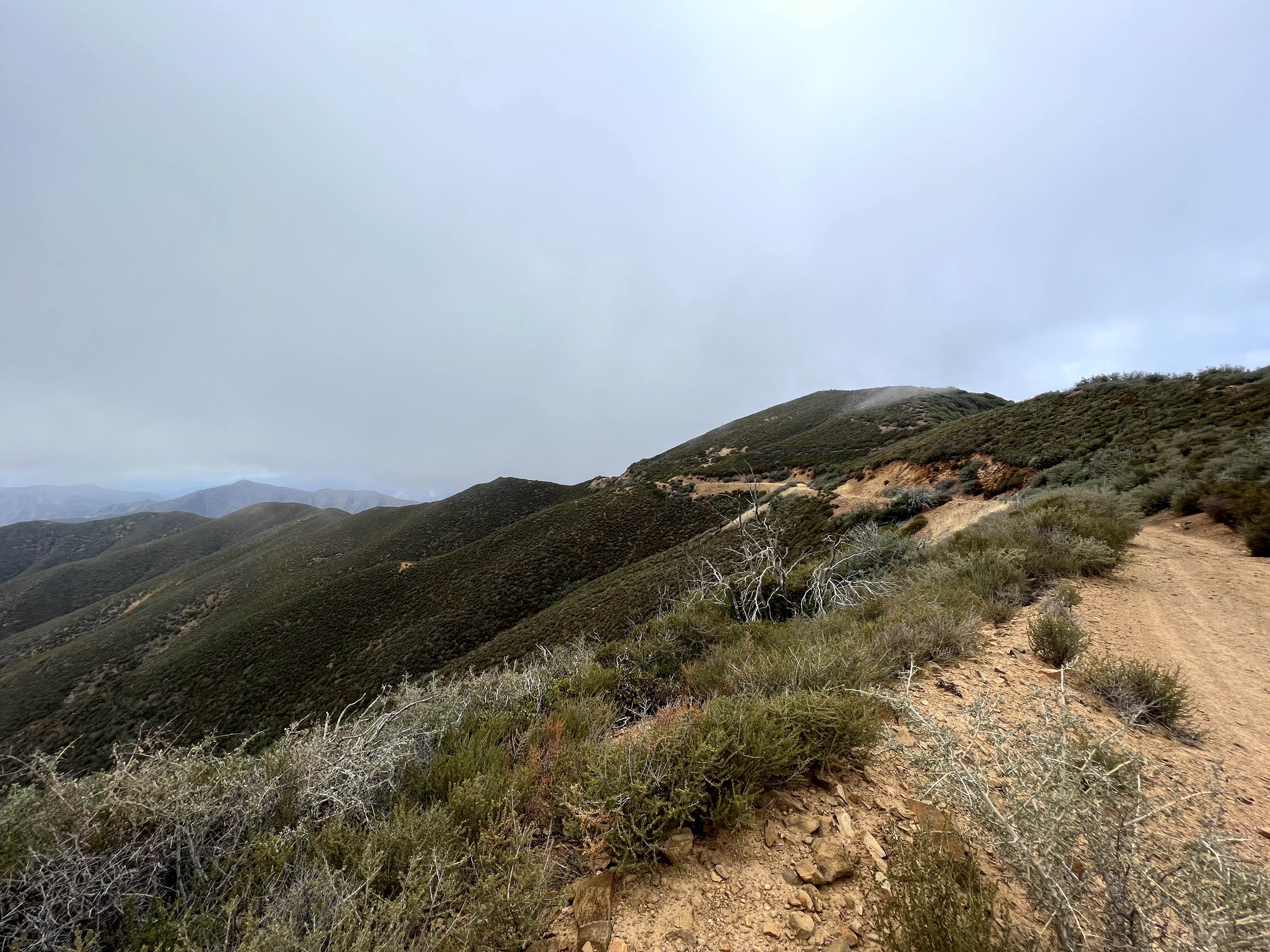
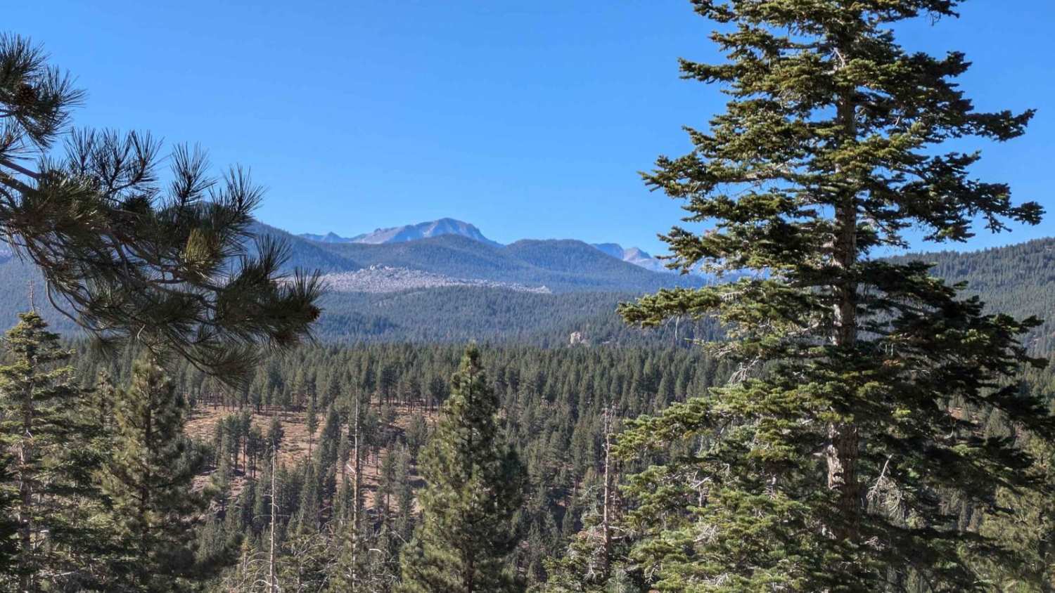
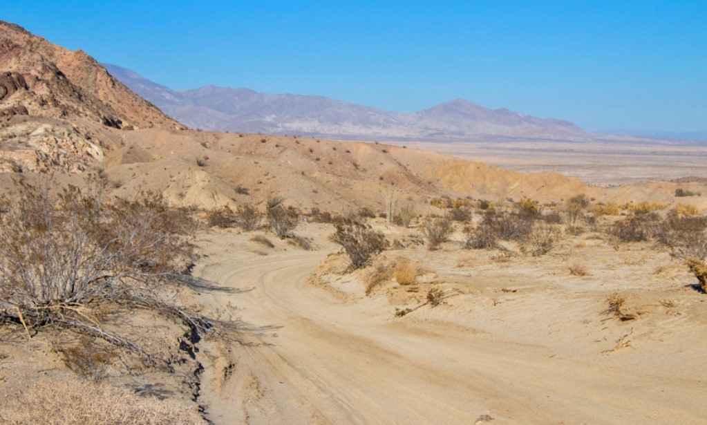
Trail Overview
Located in the Los Padres National Forest. This road follows a ridge line to McPherson Peak that has a telecommunication tower ending up over 5,700 ft. From there, you can continue on foot to backpacking trails. This is mostly untouched land, surrounded by chaparral shrubs with oak trees. There are seasonal closures for the rainy season.
Photos of McPherson Peak - FS 32S13
Difficulty
Due to weather, it can be very rutted and washed out.
McPherson Peak - FS 32S13 can be accessed by the following ride types:
- High-Clearance 4x4
- SUV
- Dirt Bike
McPherson Peak - FS 32S13 Map
Popular Trails
Hightower Trail
Mill Creek - FS 6S040X
Lookout Mountain Bypass - FS2S88
Cut Across Trail
The onX Offroad Difference
onX Offroad combines trail photos, descriptions, difficulty ratings, width restrictions, seasonality, and more in a user-friendly interface. Available on all devices, with offline access and full compatibility with CarPlay and Android Auto. Discover what you’re missing today!