Off-Road Trails in Idaho
Discover off-road trails in Idaho
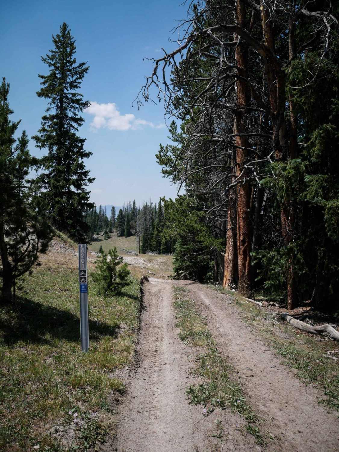
Learn more about Beason Meadow No. 228 (Part 1)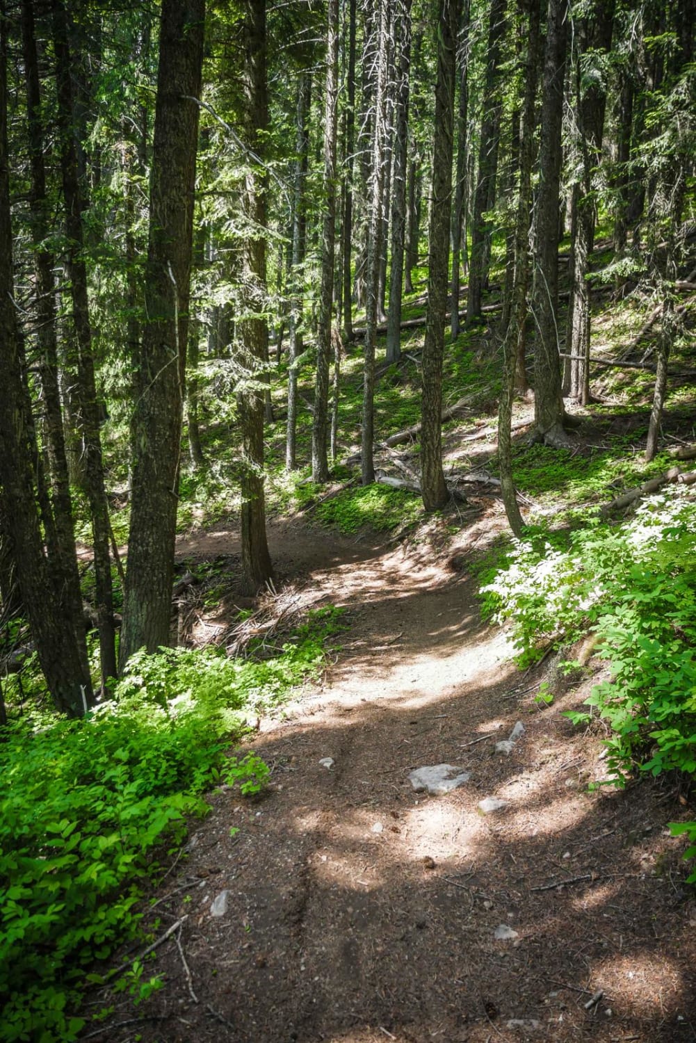
Beason Meadow No. 228 (Part 1)
Total Miles
0.4
Tech Rating
Easy
Best Time
Summer, Fall, Spring
Learn more about Beason Meadows 228 (Part 2)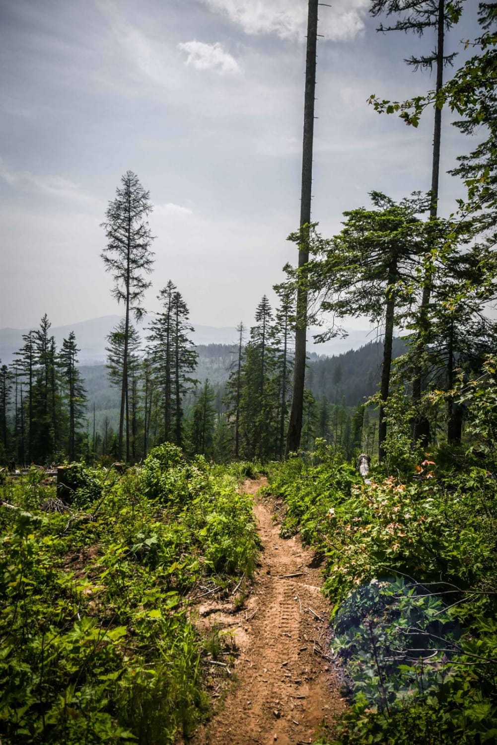
Beason Meadows 228 (Part 2)
Total Miles
6.6
Tech Rating
Moderate
Best Time
Fall, Spring, Summer
Learn more about Beason Meadows ATV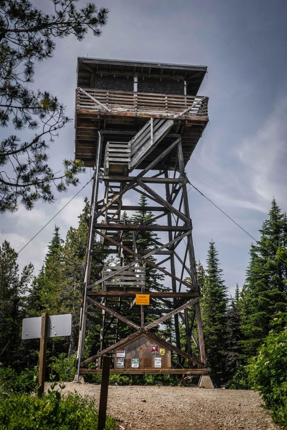
Beason Meadows ATV
Total Miles
1.2
Tech Rating
Easy
Best Time
Fall, Summer, Spring
Learn more about Beauty Bay/Harrison
Beauty Bay/Harrison
Total Miles
12.5
Tech Rating
Easy
Best Time
Spring, Summer, Fall
Learn more about Beauty Creek Divide Trail
Beauty Creek Divide Trail
Total Miles
6.5
Tech Rating
Easy
Best Time
Summer, Winter, Fall, Spring
Learn more about Beauty-Cedar (1575)
Beauty-Cedar (1575)
Total Miles
9.5
Tech Rating
Easy
Best Time
Summer, Fall
Learn more about Beaver Creek
Beaver Creek
Total Miles
12.8
Tech Rating
Easy
Best Time
Spring, Summer, Fall
Learn more about Beaver Green Canyon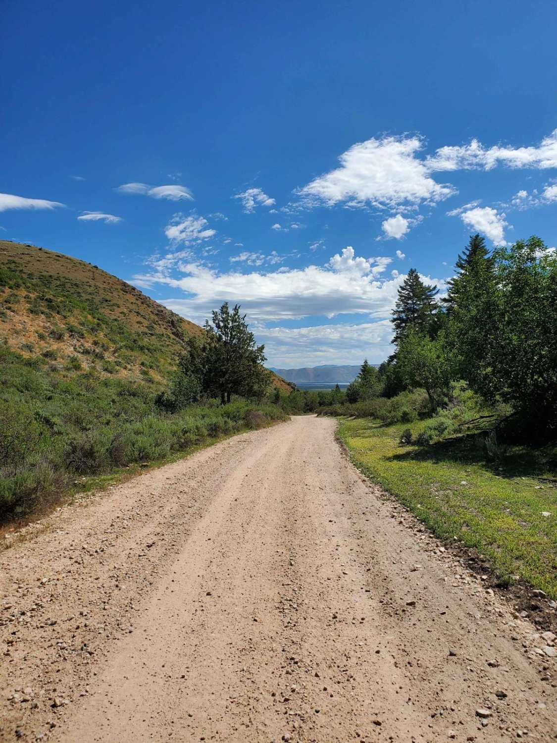
Beaver Green Canyon
Total Miles
11.4
Tech Rating
Easy
Best Time
Summer, Fall
Learn more about Beaver Loon Road - FS Trail 172
Beaver Loon Road - FS Trail 172
Total Miles
27.3
Tech Rating
Easy
Best Time
Summer
Learn more about Beaver Loon to Pinyon Peak Look Out 
Beaver Loon to Pinyon Peak Look Out
Total Miles
13.0
Tech Rating
Moderate
Best Time
Fall, Summer
Learn more about Beaver Ridge Lookout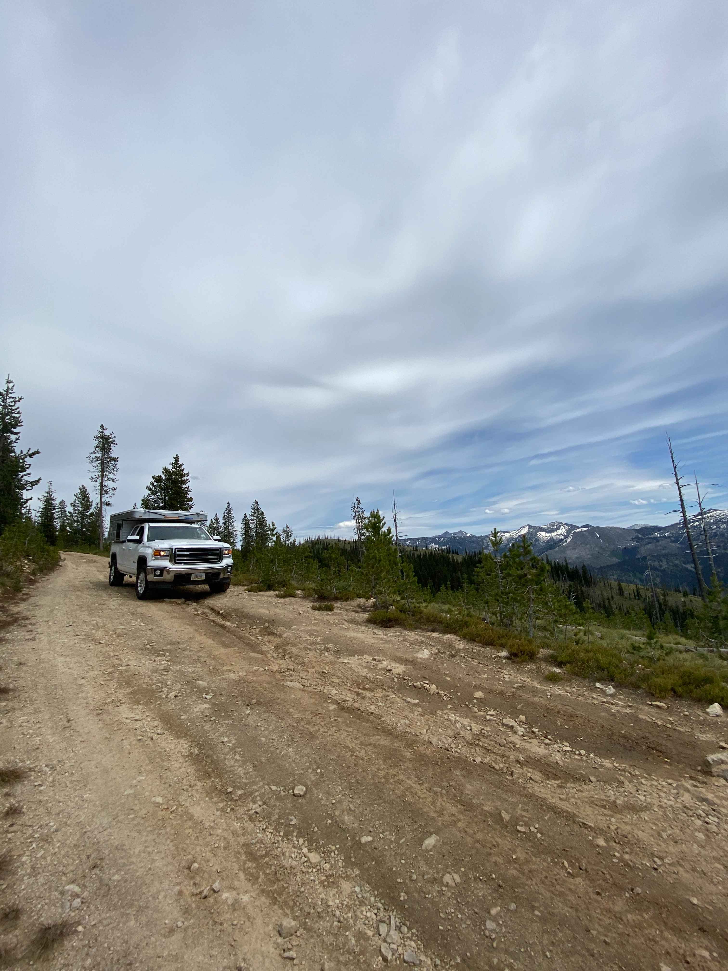
Beaver Ridge Lookout
Total Miles
16.5
Tech Rating
Easy
Best Time
Spring, Summer
Learn more about Beaverland Pass to Hang Glider Launch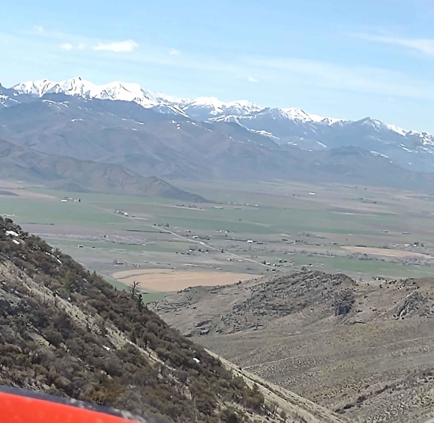
Beaverland Pass to Hang Glider Launch
Total Miles
4.1
Tech Rating
Easy
Best Time
Spring, Summer, Fall
Learn more about Beaverland Pass to Natural Arch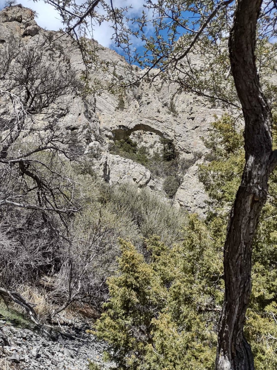
Beaverland Pass to Natural Arch
Total Miles
3.2
Tech Rating
Easy
Best Time
Spring, Summer, Fall
Learn more about Bennett Mountain Byway
Bennett Mountain Byway
Total Miles
22.2
Tech Rating
Easy
Best Time
Spring, Summer, Fall
Learn more about Big Creek Lake
Big Creek Lake
Total Miles
1.6
Tech Rating
Easy
Best Time
Summer, Spring, Fall
Learn more about Big Creek Road - FS 370
Big Creek Road - FS 370
Total Miles
13.7
Tech Rating
Easy
Best Time
Spring, Summer, Fall
ATV trails in Idaho
Learn more about Aspen Range - Middle Sulphur #5248 
Aspen Range - Middle Sulphur #5248
Total Miles
1.9
Tech Rating
Easy
Best Time
Summer, Fall
Learn more about Dry Fork - Meadow Springs #5226 
Dry Fork - Meadow Springs #5226
Total Miles
0.4
Tech Rating
Easy
Best Time
Summer, Fall
Learn more about South Foothill Road
South Foothill Road
Total Miles
8.2
Tech Rating
Moderate
Best Time
Summer, Fall

UTV/side-by-side trails in Idaho
Learn more about South Foothill Road
South Foothill Road
Total Miles
8.2
Tech Rating
Moderate
Best Time
Summer, Fall

Learn more about 21 To Nip & Tuck
21 To Nip & Tuck
Total Miles
1.4
Tech Rating
Easy
Best Time
Fall, Summer, Spring

The onX Offroad Difference
onX Offroad combines trail photos, descriptions, difficulty ratings, width restrictions, seasonality, and more in a user-friendly interface. Available on all devices, with offline access and full compatibility with CarPlay and Android Auto. Discover what you’re missing today!