Beaver Creek
Total Miles
12.8
Technical Rating
Best Time
Spring, Summer, Fall
Trail Type
Full-Width Road
Accessible By
Trail Overview
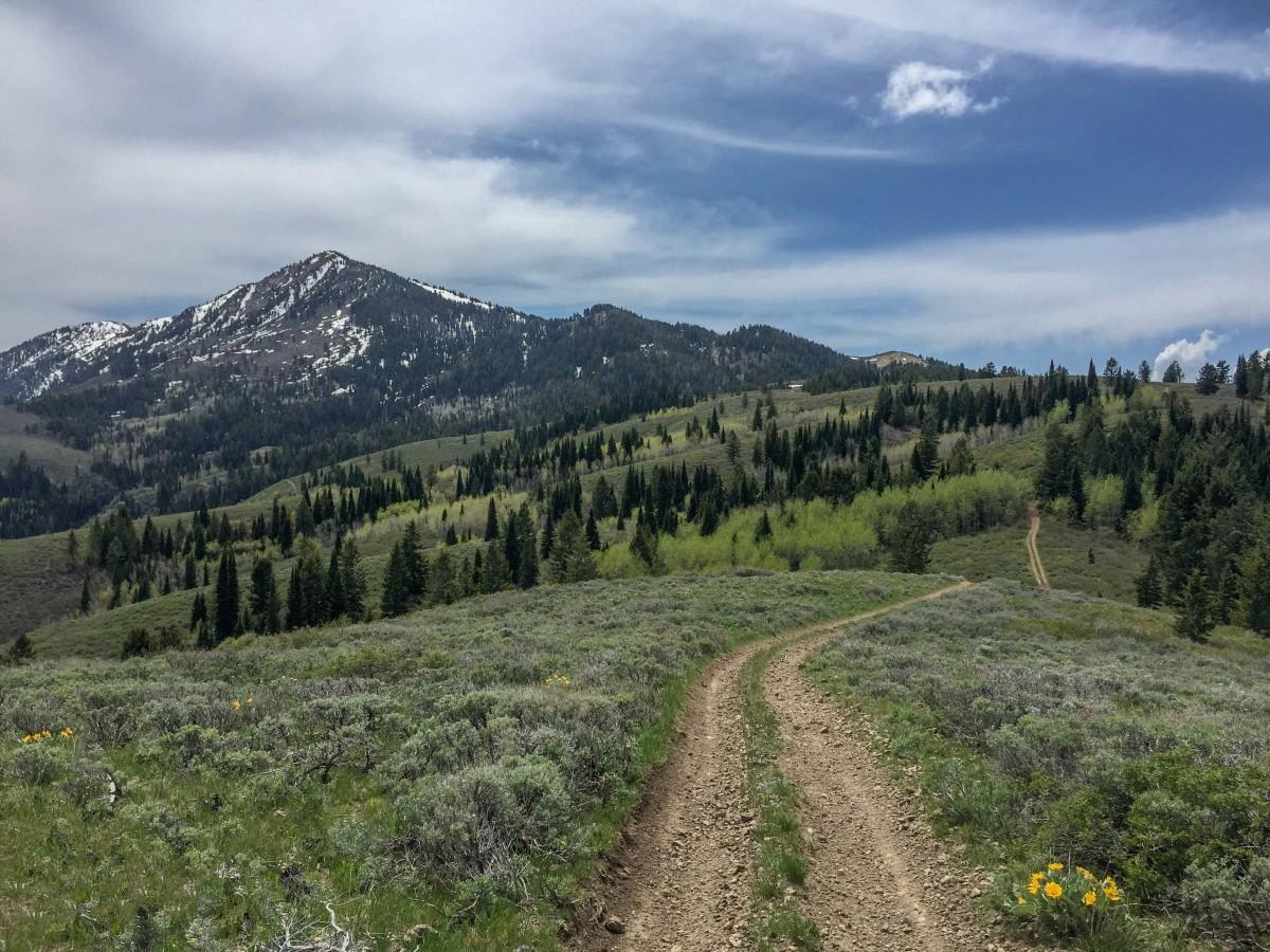
Beaver Creek is a 12.7-mile point-to-point trail that parallels Beaver Creek in the West Mountains. The trail starts from Highway 95 and passes through private lands; be respectful, stay on the trail, and drive the speed limit. The first half of the trail parallels Beaver Creek in a scenic canyon, then for the second half, you climb up the ridge line and pass through several mountain meadows. This trail is a well-maintained Forest Service road with light washboarding and shallow mud holes.
Photos of Beaver Creek


Difficulty
This route is a maintained Forest Service Road with light washboarding and shallow potholes.
Status Reports
Beaver Creek can be accessed by the following ride types:
- High-Clearance 4x4
- SUV
- SxS (60")
- ATV (50")
- Dirt Bike
Beaver Creek Map
Popular Trails

Cataldo to St. Joe Baldy
Oxford Peak Loop


Idaho Falls to Fall Creek Falls
The onX Offroad Difference
onX Offroad combines trail photos, descriptions, difficulty ratings, width restrictions, seasonality, and more in a user-friendly interface. Available on all devices, with offline access and full compatibility with CarPlay and Android Auto. Discover what you’re missing today!