Beaverland Pass to Natural Arch
Total Miles
3.2
Technical Rating
Best Time
Spring, Summer, Fall
Trail Type
High-Clearance 4x4 Trail
Accessible By
Trail Overview
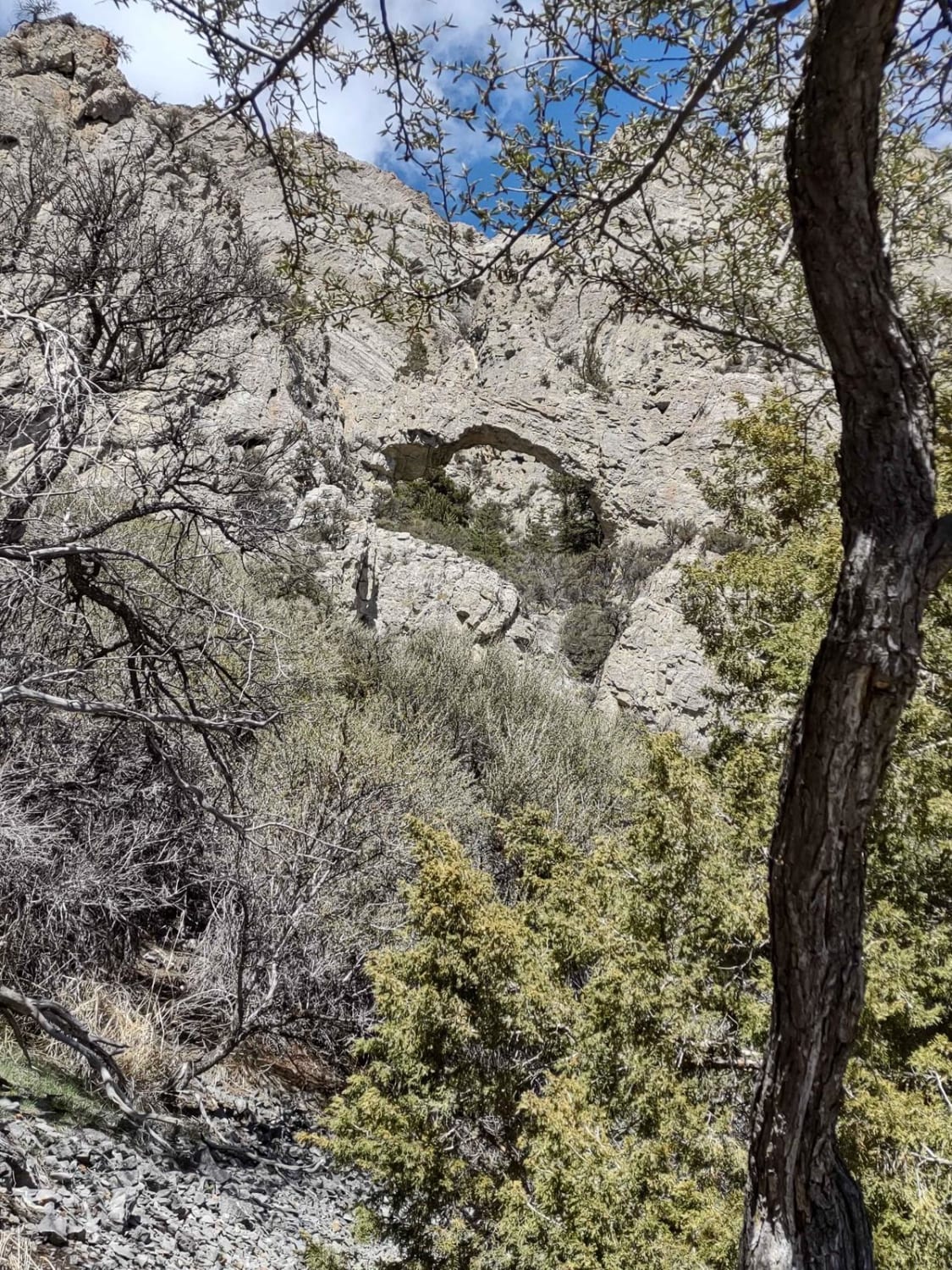
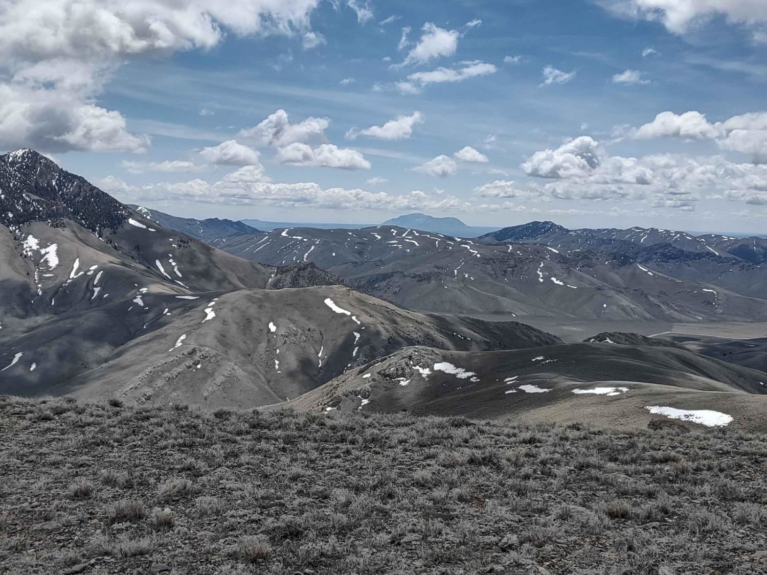
This trail leads to the Natural Arch, which is only visible if you hike up to it. The 2-hour completion time includes the hike at the end. You're in the Challis National Forest at about 7500 feet, and the arch is a natural wonder. If you're here before May 1, you may encounter snow on the trails and in the forests. If it's rained recently, it will be muddy. Erosion occurs with heavy run-off. This track ends where we hit too deep of snow to get through, but the trails go beyond our track if you're here later than early May.
Photos of Beaverland Pass to Natural Arch
Difficulty
Mud and snow are the only obstacles on this trail in the springtime. It's an easy trail when it's dry. And the hike is about a mile, and it's steep in places. There are steps built into the trail in parts of it, and it isn't a hard hike if you have a reasonable level of fitness.
History
The Challis National Forest is an Idaho State Park, and the section of the Forest in this area covers 135K acres. In total, the Salmon-Challis National Forest covers 4.3 million acres.
Status Reports
Beaverland Pass to Natural Arch can be accessed by the following ride types:
- High-Clearance 4x4
- SxS (60")
- ATV (50")
- Dirt Bike
Beaverland Pass to Natural Arch Map
Popular Trails

Canfield Mountain- Trail 5
No Business Lookout
Allen Canyon Pole Canyon Loop

Van Noy-Stoddard Road
The onX Offroad Difference
onX Offroad combines trail photos, descriptions, difficulty ratings, width restrictions, seasonality, and more in a user-friendly interface. Available on all devices, with offline access and full compatibility with CarPlay and Android Auto. Discover what you’re missing today!