Diamond Creek #5126
Total Miles
0.8
Technical Rating
Best Time
Summer, Fall
Trail Type
50" Trail
Accessible By
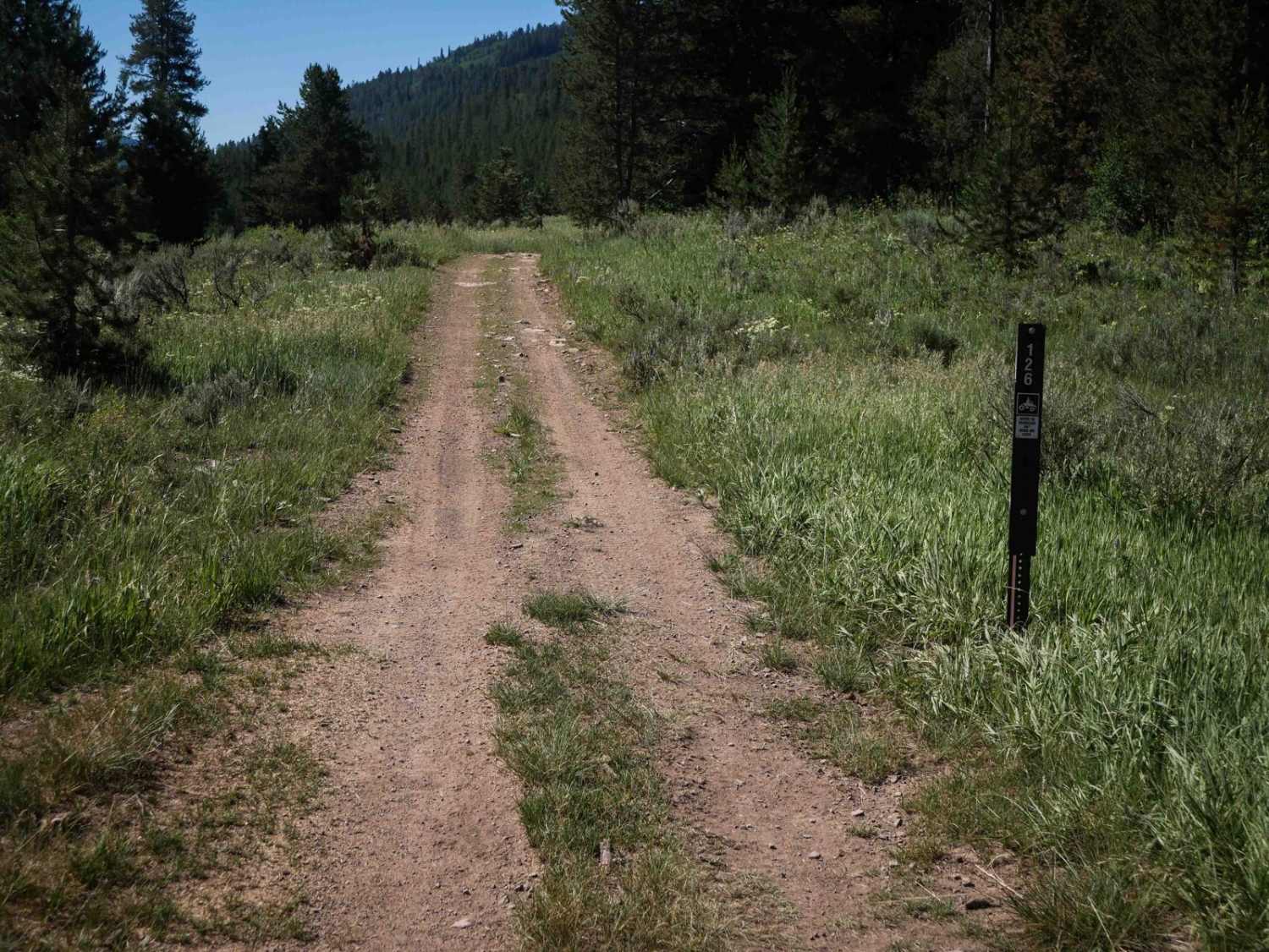
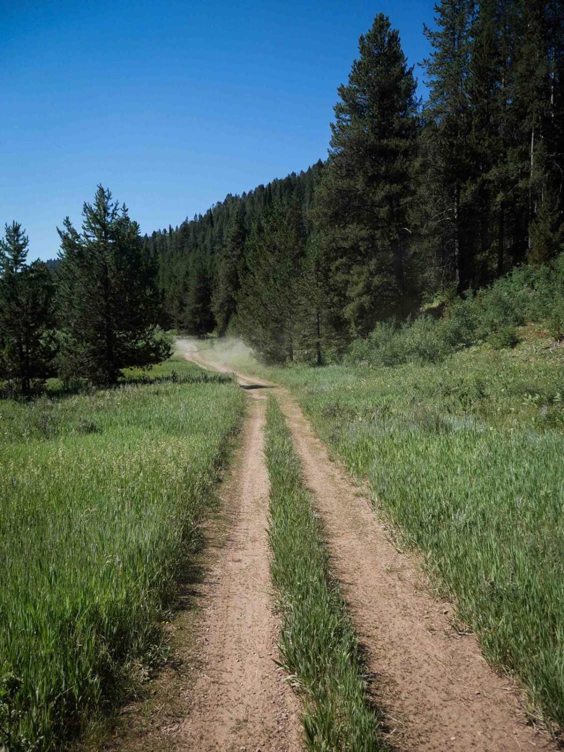
Trail Overview
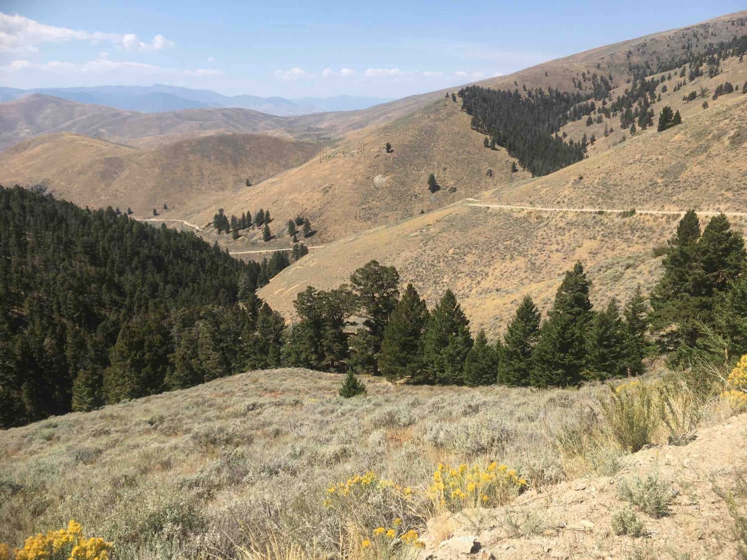
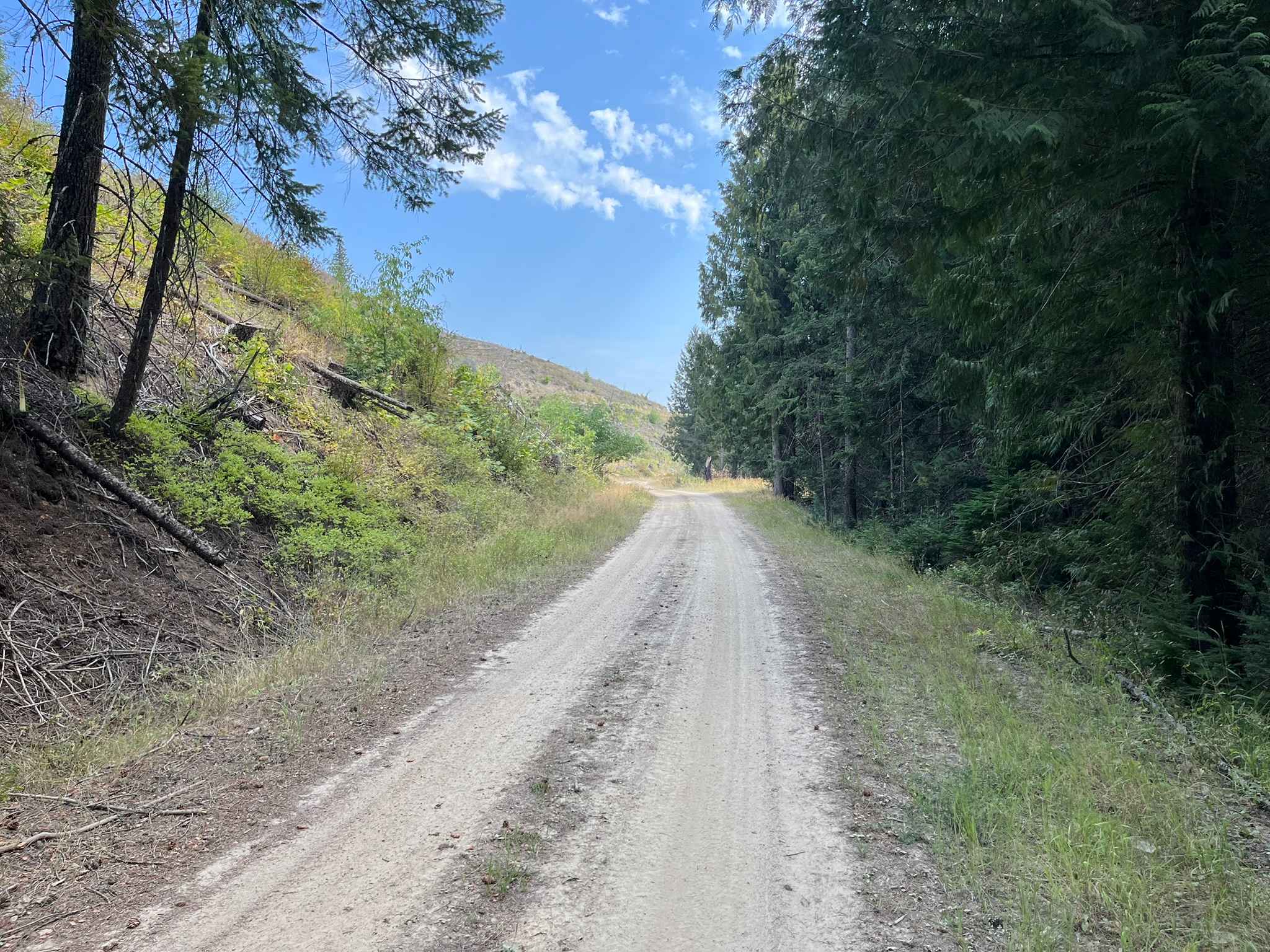
This is a short out-and-back easy ATV trail in the Caribou National Forest, starting near the Johnson Guard Station off of Diamond Creek Road. It goes through flat grassy meadows next to some dispersed camp sites, then starts to go through more pine trees. There are lots of pointy low branches sticking out into the trail that you have to watch your head on. It goes through a gate and ends at a sign indicating the end of the legally designated route. It's very gradual and flat for the entire .8 miles. The trail does not connect to any other routes and must be ridden as an out-and-back, but it makes a good trail option for beginner riders or families with kids looking for a short trail option. It stays consistently easy, with hardly any rock, and just some tighter turns in the trees.
Photos of Diamond Creek #5126
Difficulty
This is an easy trail due to its flat, wide path and lack of obstacles. It is best suited for a short out-and-back ride through mellow forest terrain for newer or younger riders.
Status Reports
Diamond Creek #5126 can be accessed by the following ride types:
- ATV (50")
- Dirt Bike
Diamond Creek #5126 Map
Popular Trails
Horse Creek Lower Section
Gleason McAbee 334
Chelsey Creek - FS 1960
The onX Offroad Difference
onX Offroad combines trail photos, descriptions, difficulty ratings, width restrictions, seasonality, and more in a user-friendly interface. Available on all devices, with offline access and full compatibility with CarPlay and Android Auto. Discover what you’re missing today!