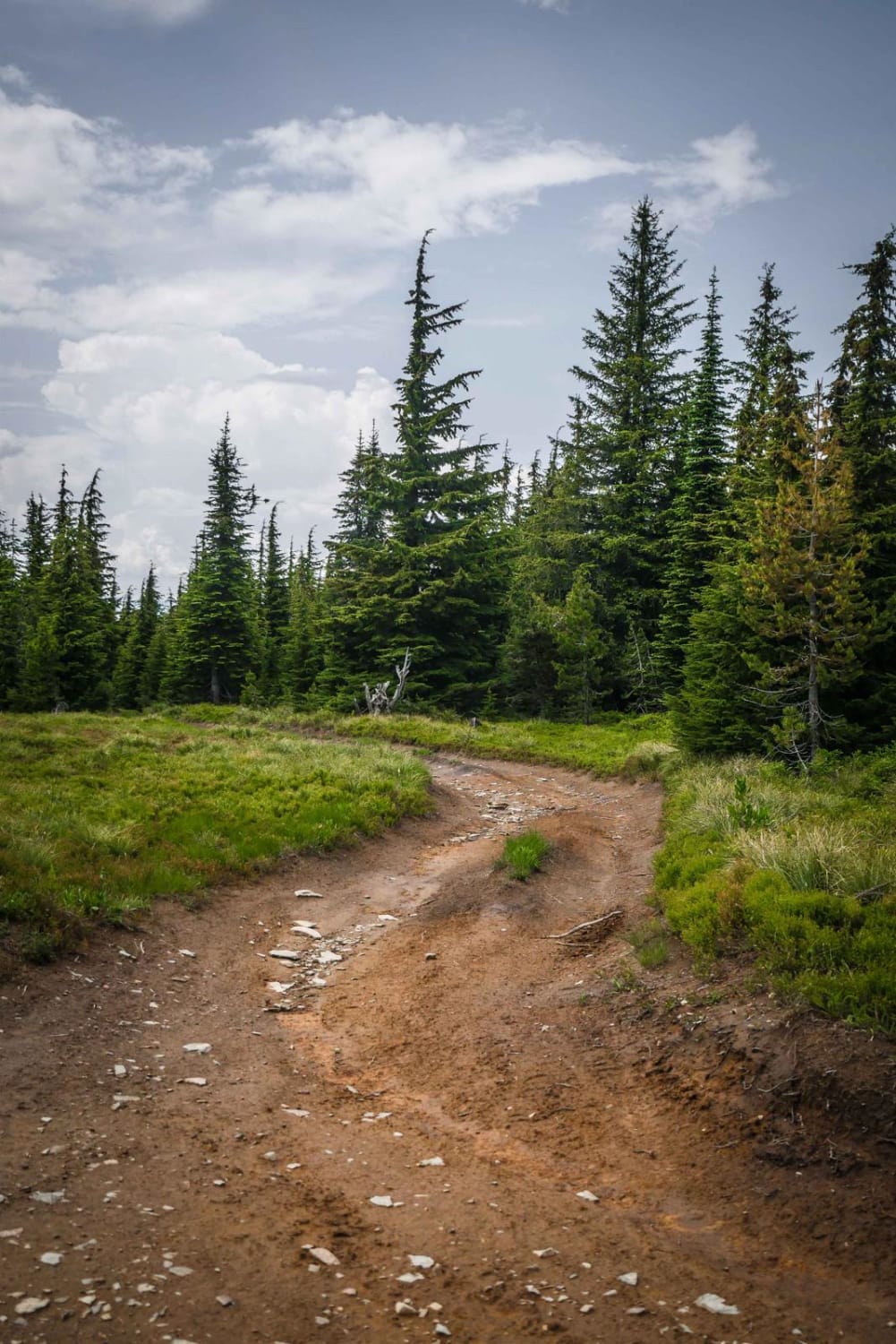
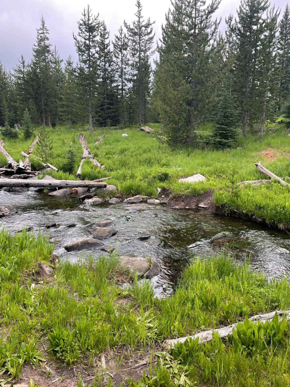
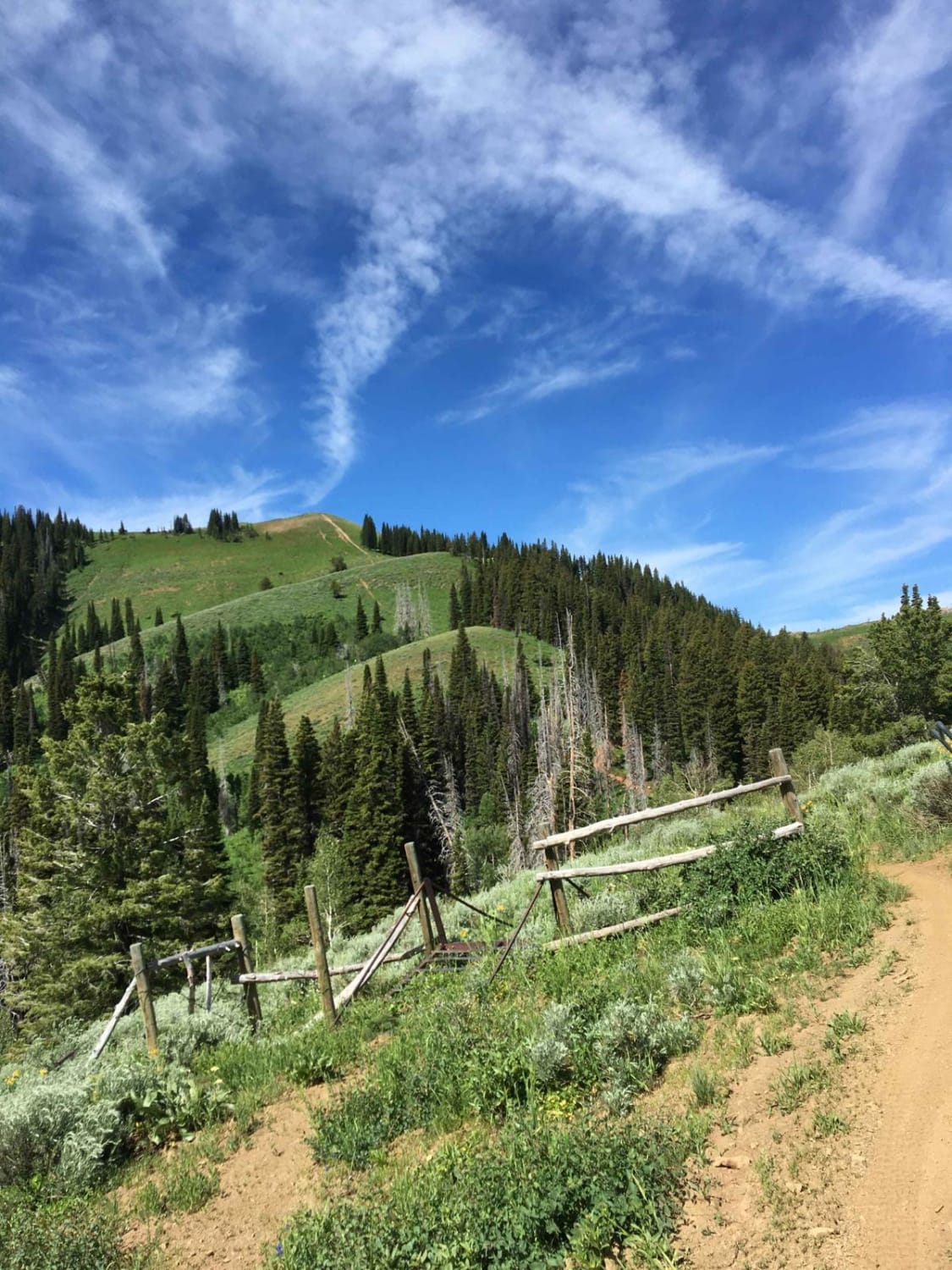
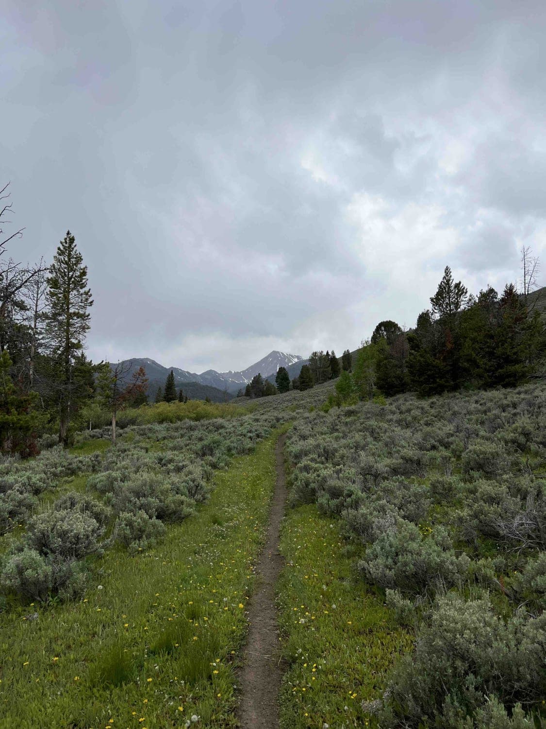
Off-Road Trails in Idaho
Discover off-road trails in Idaho
Learn more about Big Salmon Road - 1614 
Big Salmon Road - 1614
Total Miles
6.0
Tech Rating
Easy
Best Time
Spring, Summer, Fall
Learn more about Big Smoky - 7072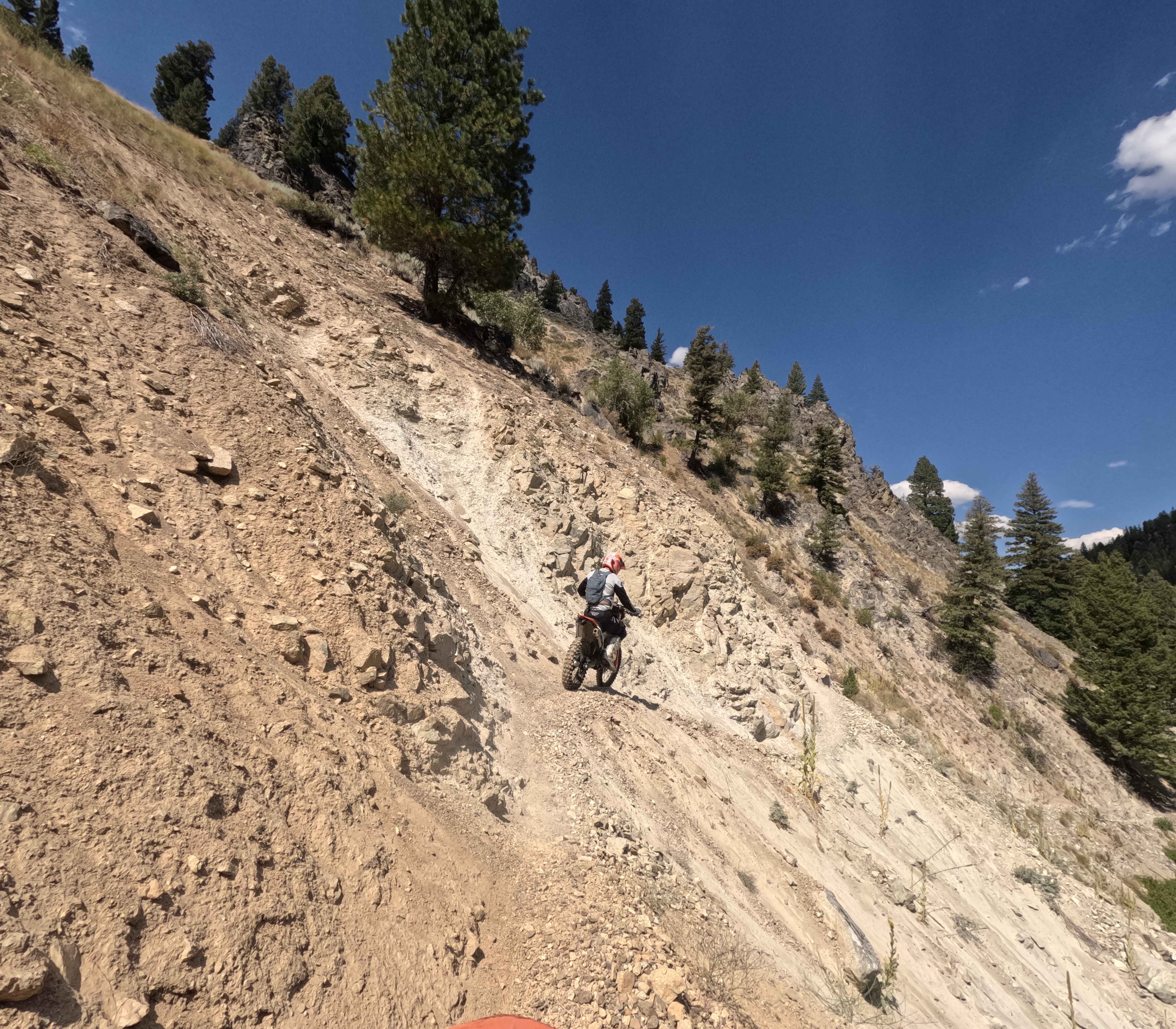
Big Smoky - 7072
Total Miles
18.1
Tech Rating
Difficult
Best Time
Summer, Fall
Learn more about Big Southern Butte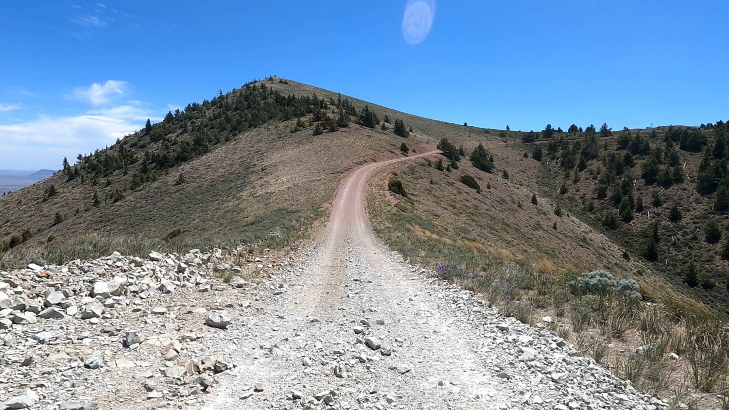
Big Southern Butte
Total Miles
14.2
Tech Rating
Easy
Best Time
Spring, Summer, Winter, Fall
Learn more about Big Wood River - Harriman Trail Access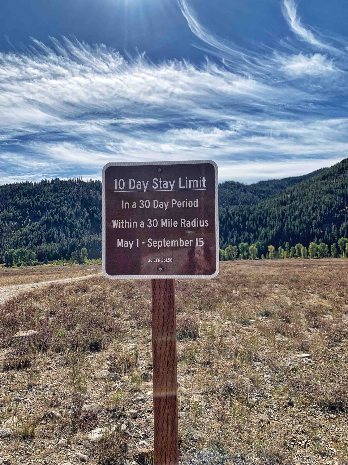
Big Wood River - Harriman Trail Access
Total Miles
0.5
Tech Rating
Easy
Best Time
Summer, Fall
Learn more about Bighorn Point 
Bighorn Point
Total Miles
2.0
Tech Rating
Moderate
Best Time
Spring, Summer, Fall
Learn more about Bing Cherry Trail
Bing Cherry Trail
Total Miles
3.4
Tech Rating
Easy
Best Time
Summer, Fall, Spring
Learn more about Birch Creek Free Area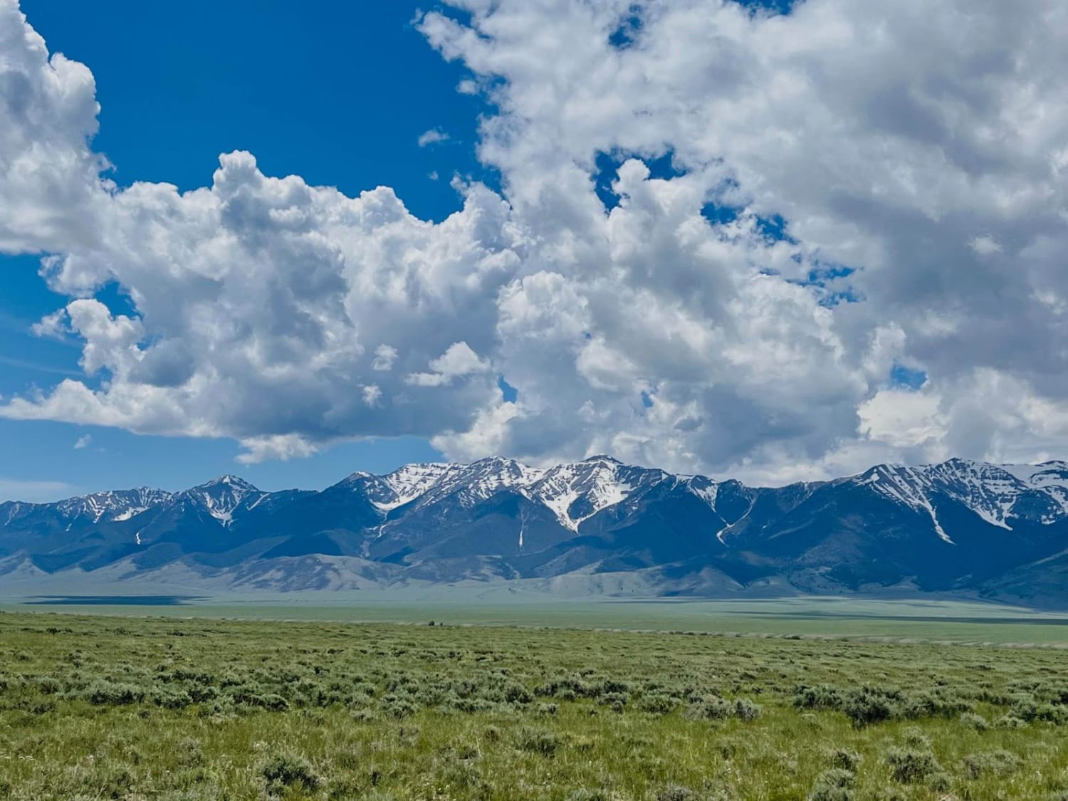
Birch Creek Free Area
Total Miles
5.6
Tech Rating
Easy
Best Time
Spring, Summer, Fall
Learn more about Birch Creek Road 407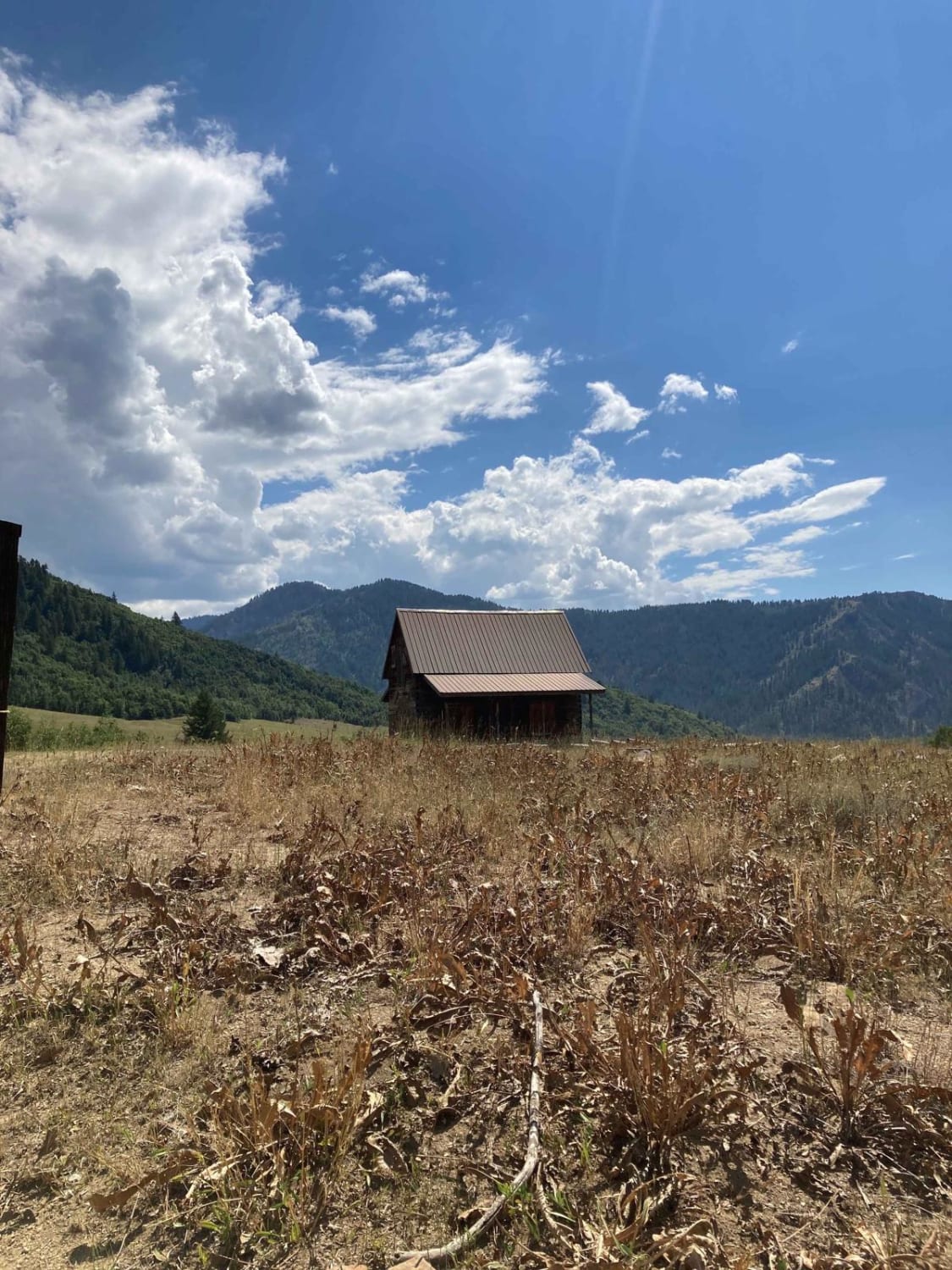
Birch Creek Road 407
Total Miles
9.0
Tech Rating
Easy
Best Time
Spring, Summer, Fall
Learn more about Birch Valley Charcoal Kilns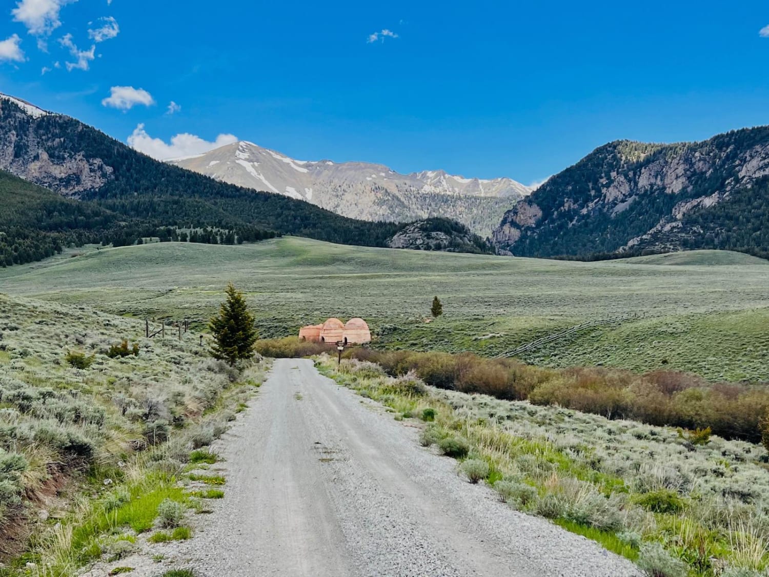
Birch Valley Charcoal Kilns
Total Miles
5.2
Tech Rating
Easy
Best Time
Spring, Summer, Fall
Learn more about Bird Creek Divide
Bird Creek Divide
Total Miles
16.1
Tech Rating
Easy
Best Time
Spring, Summer, Fall
Learn more about Bishop Mountain Road (20120)
Bishop Mountain Road (20120)
Total Miles
5.5
Tech Rating
Easy
Best Time
Spring, Summer, Fall
Learn more about Black Jack Harvey - 3592 
Black Jack Harvey - 3592
Total Miles
1.2
Tech Rating
Easy
Best Time
Spring, Summer, Fall
Learn more about Black Mountain - 004
Black Mountain - 004
Total Miles
3.4
Tech Rating
Easy
Best Time
Spring, Summer, Fall
Learn more about Black Pine Canyon
Black Pine Canyon
Total Miles
11.2
Tech Rating
Easy
Best Time
Spring, Summer, Fall
ATV trails in Idaho
Learn more about Aspen Range - Middle Sulphur #5248 
Aspen Range - Middle Sulphur #5248
Total Miles
1.9
Tech Rating
Easy
Best Time
Summer, Fall
Learn more about Dry Fork - Meadow Springs #5226 
Dry Fork - Meadow Springs #5226
Total Miles
0.4
Tech Rating
Easy
Best Time
Summer, Fall
Learn more about South Foothill Road
South Foothill Road
Total Miles
8.2
Tech Rating
Moderate
Best Time
Summer, Fall

UTV/side-by-side trails in Idaho
Learn more about South Foothill Road
South Foothill Road
Total Miles
8.2
Tech Rating
Moderate
Best Time
Summer, Fall

Learn more about 21 To Nip & Tuck
21 To Nip & Tuck
Total Miles
1.4
Tech Rating
Easy
Best Time
Fall, Summer, Spring

The onX Offroad Difference
onX Offroad combines trail photos, descriptions, difficulty ratings, width restrictions, seasonality, and more in a user-friendly interface. Available on all devices, with offline access and full compatibility with CarPlay and Android Auto. Discover what you’re missing today!