Big Salmon Road - 1614
Total Miles
6.0
Technical Rating
Best Time
Spring, Summer, Fall
Trail Type
Full-Width Road
Accessible By
Trail Overview
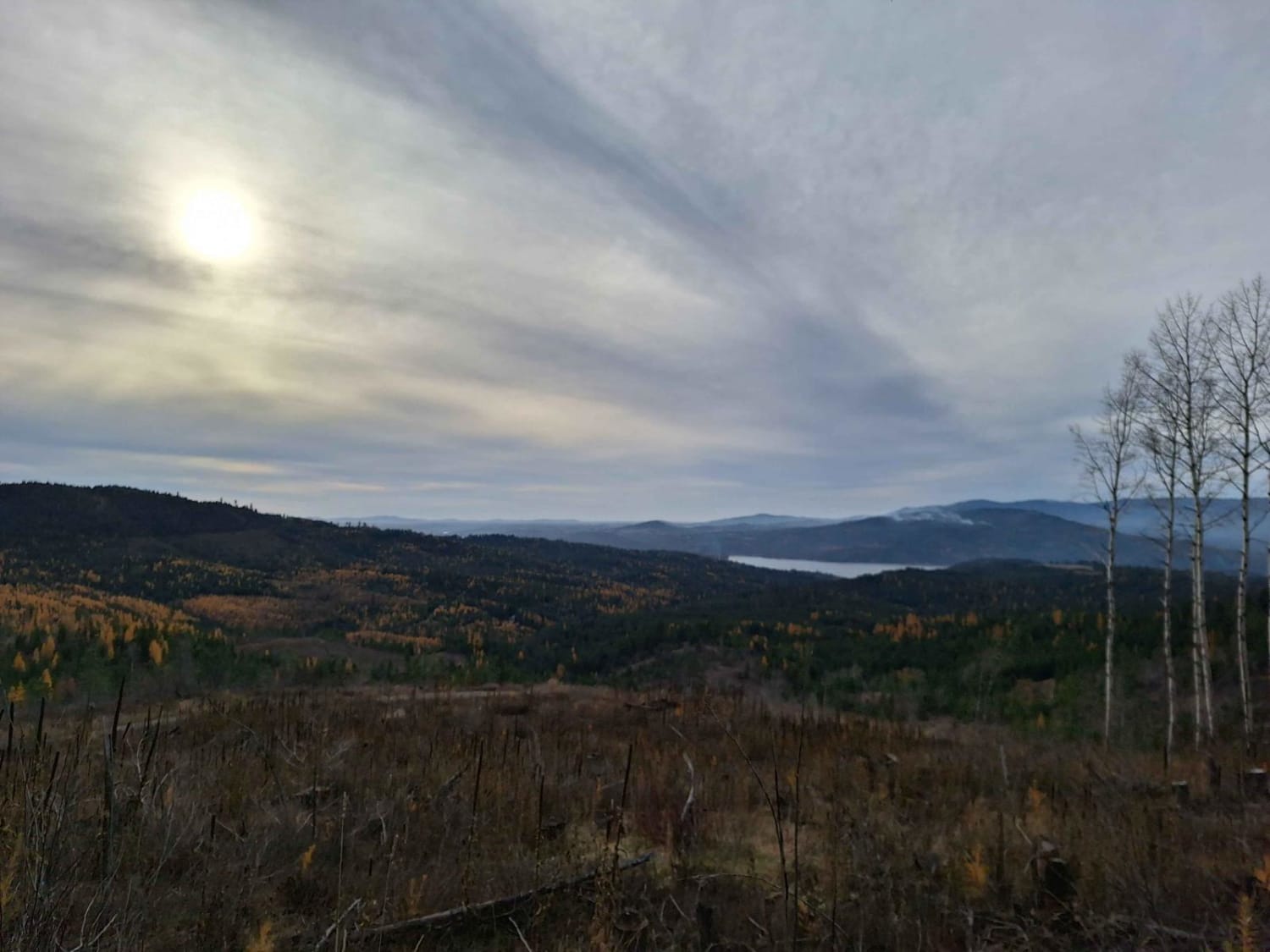
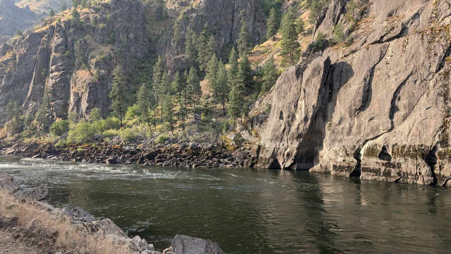
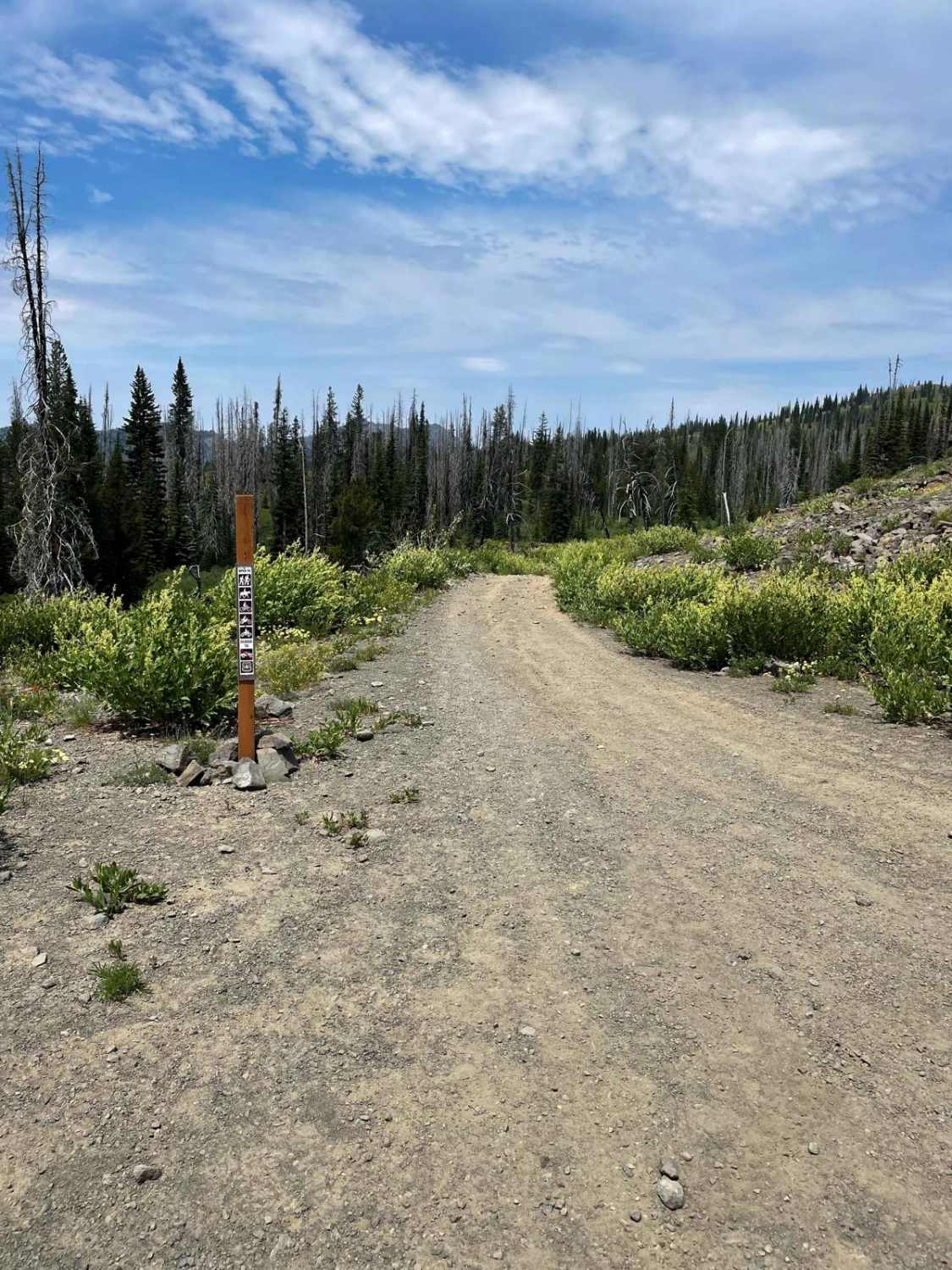
Road 1614, also known as Big Salmon Road starts at Highway 95 at the South end of Riggins, Idaho. The first 12.5 miles from Highway 95 is paved. This track begins where Road 1614 turns to dirt just before the bridge for Road NF 257 and ends at French Creek. Road 1614 is the main road that accesses recreation areas and boat ramps for launching rafts on the Salmon River. The drive is accessible by passenger car, truck, 4 x 4, ATV, Side x Side, and motorcycle. The drive is easy and the views of the river are phenomenal. There are places to camp along the river, some with beautiful sandy beaches, others in pine trees. After crossing Manning Bridge, there is a historical area on the right with historical information about the road and Manning Bridge. The remains of the first bridge can still be seen anchored into the rock. The road is well maintained- but is a narrow two-lane road. There are frequent wide spots for pulling over when meeting vehicles. This is a well-traveled road due to the recreational opportunities in the area.
Photos of Big Salmon Road - 1614
Difficulty
Road 1614 is maintained and accessible by most vehicles.
History
This road was built during the depression to connect Riggins with French Creek.
Status Reports
Big Salmon Road - 1614 can be accessed by the following ride types:
- High-Clearance 4x4
- SUV
- SxS (60")
- ATV (50")
- Dirt Bike
Big Salmon Road - 1614 Map
Popular Trails

Mount Coeur d'Alene (439)

Pritchert Springs West #5213
The onX Offroad Difference
onX Offroad combines trail photos, descriptions, difficulty ratings, width restrictions, seasonality, and more in a user-friendly interface. Available on all devices, with offline access and full compatibility with CarPlay and Android Auto. Discover what you’re missing today!


