Bing Cherry Trail
Total Miles
3.4
Technical Rating
Best Time
Summer, Fall, Spring
Trail Type
50" Trail
Accessible By
Trail Overview
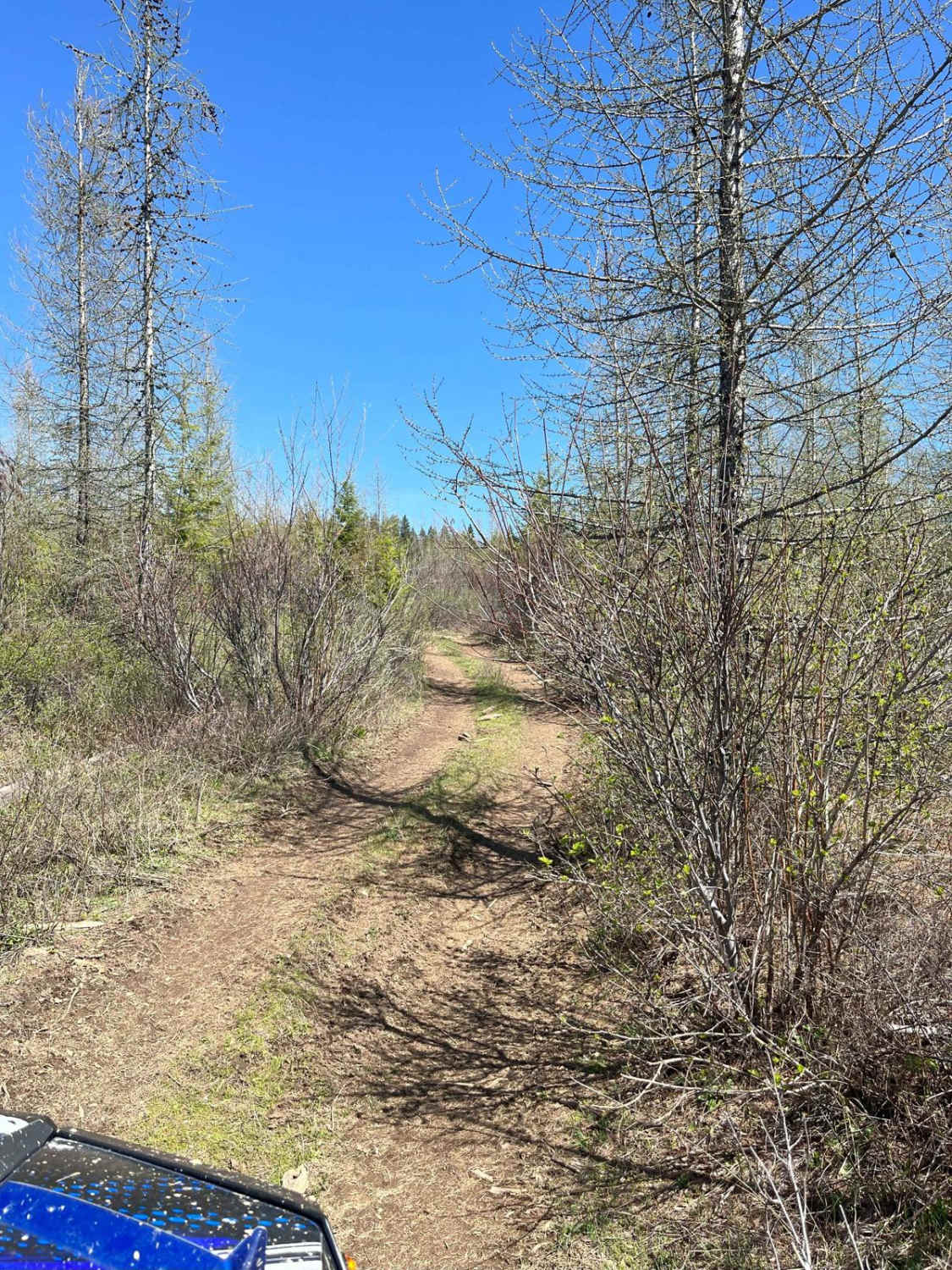
Off Cherry Butte Road, this is an older logging road through clearcut until it turns into more of a trail on Forest Service Road 3850 to Bing Cherry. It connects at the other end to Vasser Meadow Road. It's an overall easy ride. Two parts of the trail are narrower and brushy before meeting back up with logging roads. 4 miles one way, this trail could either return to Brush Creek Road or go down Vasser Meadow Road for a while.
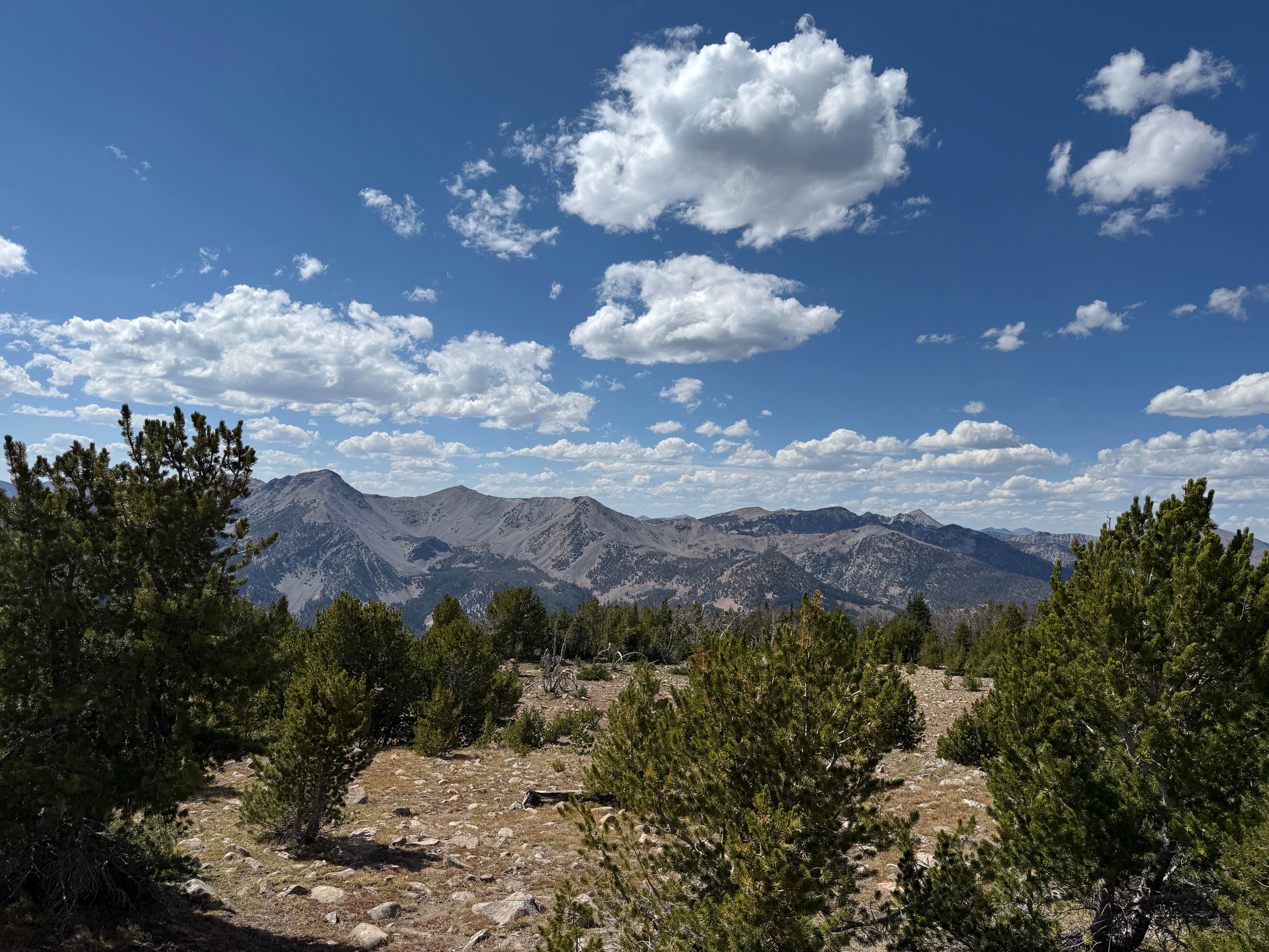
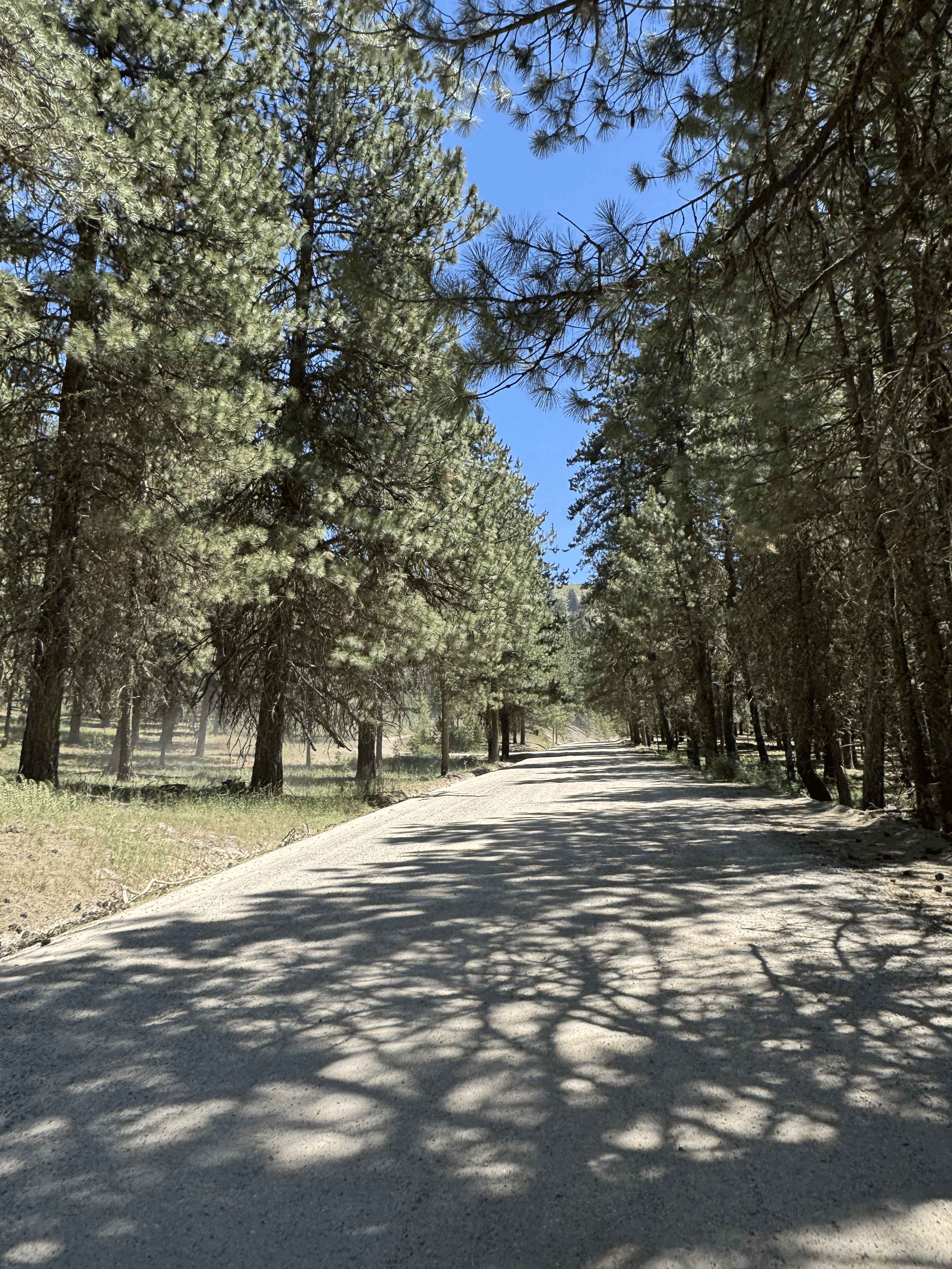
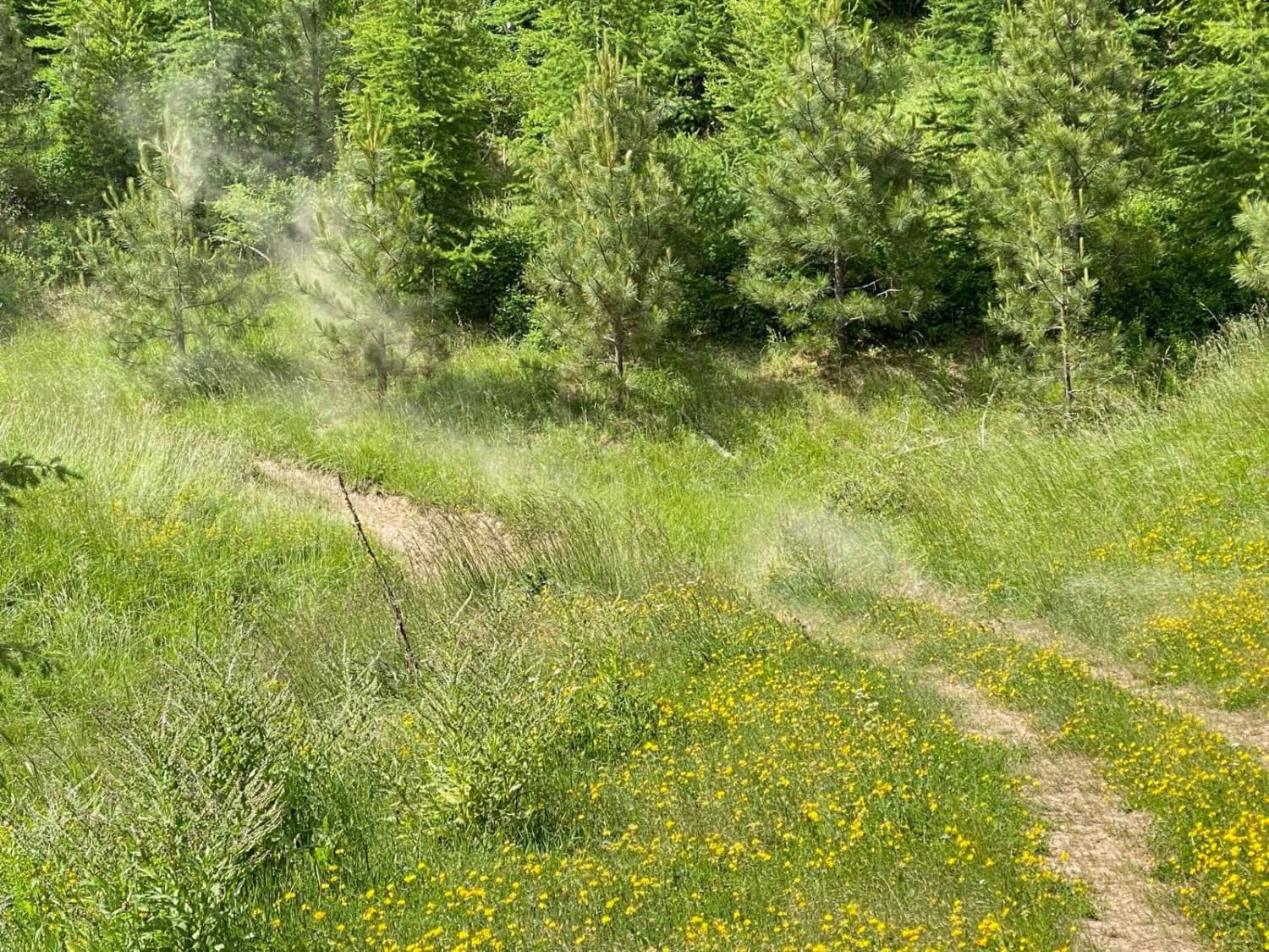
Photos of Bing Cherry Trail

Difficulty
One part is narrow, steep, and brushy.
Status Reports
Bing Cherry Trail can be accessed by the following ride types:
- ATV (50")
- Dirt Bike
Bing Cherry Trail Map
Popular Trails

South Fork River Road
The onX Offroad Difference
onX Offroad combines trail photos, descriptions, difficulty ratings, width restrictions, seasonality, and more in a user-friendly interface. Available on all devices, with offline access and full compatibility with CarPlay and Android Auto. Discover what you’re missing today!