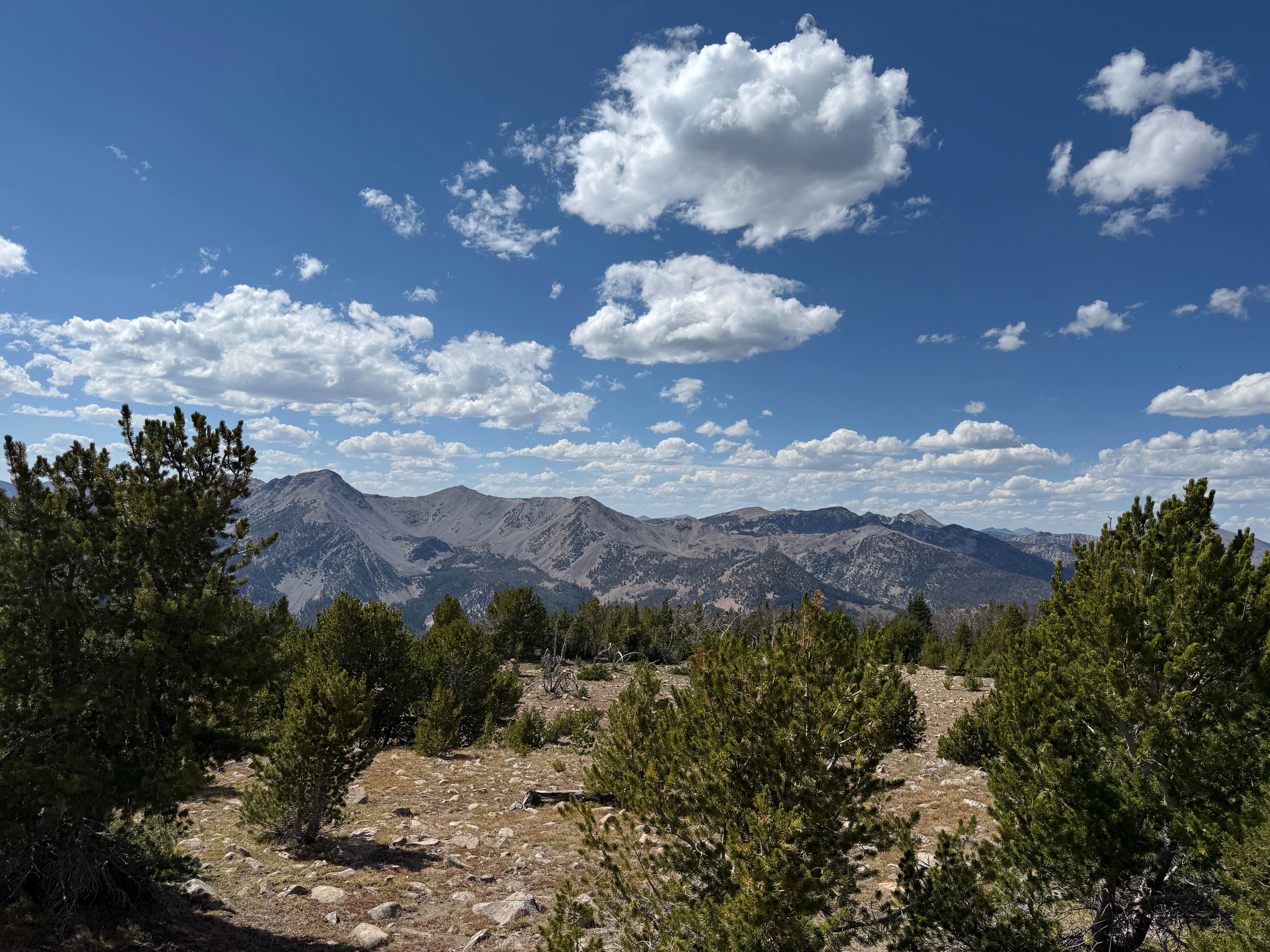
Off-Road Trails in Idaho
Discover off-road trails in Idaho
Learn more about Black Pine Spring
Black Pine Spring
Total Miles
2.1
Tech Rating
Easy
Best Time
Spring, Summer, Fall
Learn more about Blaze Canyon to Windy Devil
Blaze Canyon to Windy Devil
Total Miles
4.4
Tech Rating
Easy
Best Time
Spring, Summer, Fall
Learn more about Bliss High Country Scenic Track
Bliss High Country Scenic Track
Total Miles
17.4
Tech Rating
Moderate
Best Time
Spring, Fall
Learn more about BLM 3780 - Star Valley Ranch
BLM 3780 - Star Valley Ranch
Total Miles
14.8
Tech Rating
Easy
Best Time
Fall
Learn more about BLM Trail 136
BLM Trail 136
Total Miles
3.5
Tech Rating
Easy
Best Time
Summer, Fall, Spring
Learn more about Bloomington/Highline (3372)
Bloomington/Highline (3372)
Total Miles
0.7
Tech Rating
Difficult
Best Time
Summer, Fall
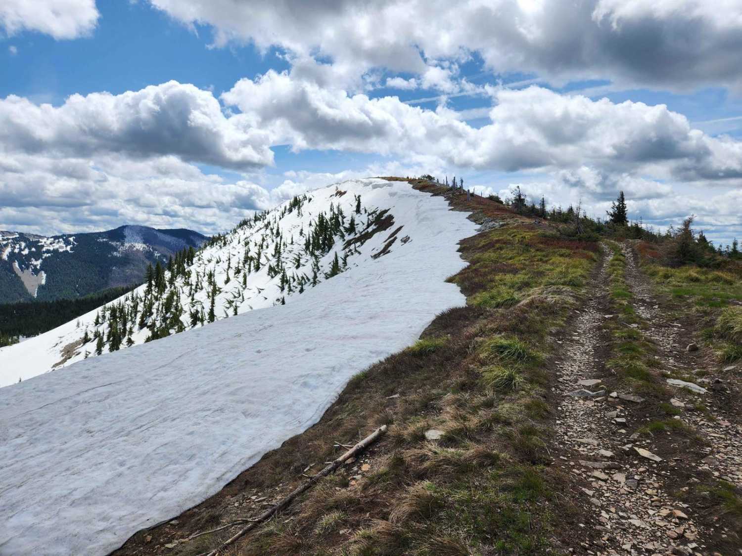
Learn more about Blue Bunch Ridge
Blue Bunch Ridge
Total Miles
7.3
Tech Rating
Easy
Best Time
Summer, Fall, Spring
Learn more about Blue Creek (499)
Blue Creek (499)
Total Miles
7.4
Tech Rating
Easy
Best Time
Spring, Summer, Fall
Learn more about Blue Heart Overlook and Access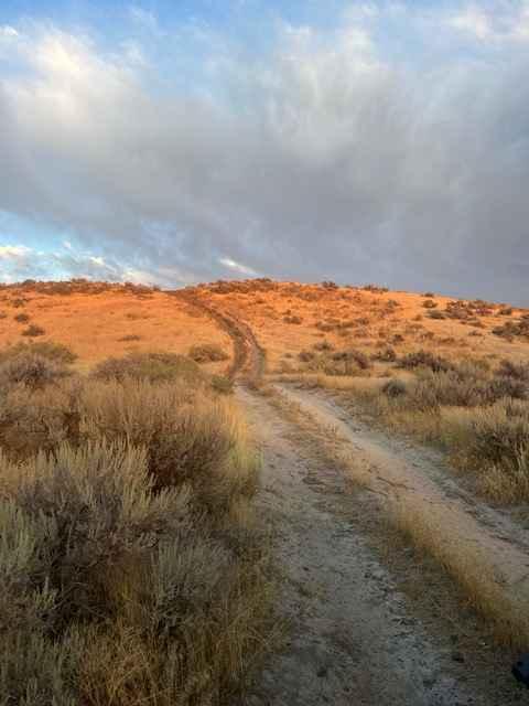
Blue Heart Overlook and Access
Total Miles
3.7
Tech Rating
Easy
Best Time
Winter, Fall, Summer, Spring
Learn more about Blue Ridge - FS 7048
Blue Ridge - FS 7048
Total Miles
6.3
Tech Rating
Easy
Best Time
Summer
Learn more about Blue Ridge Views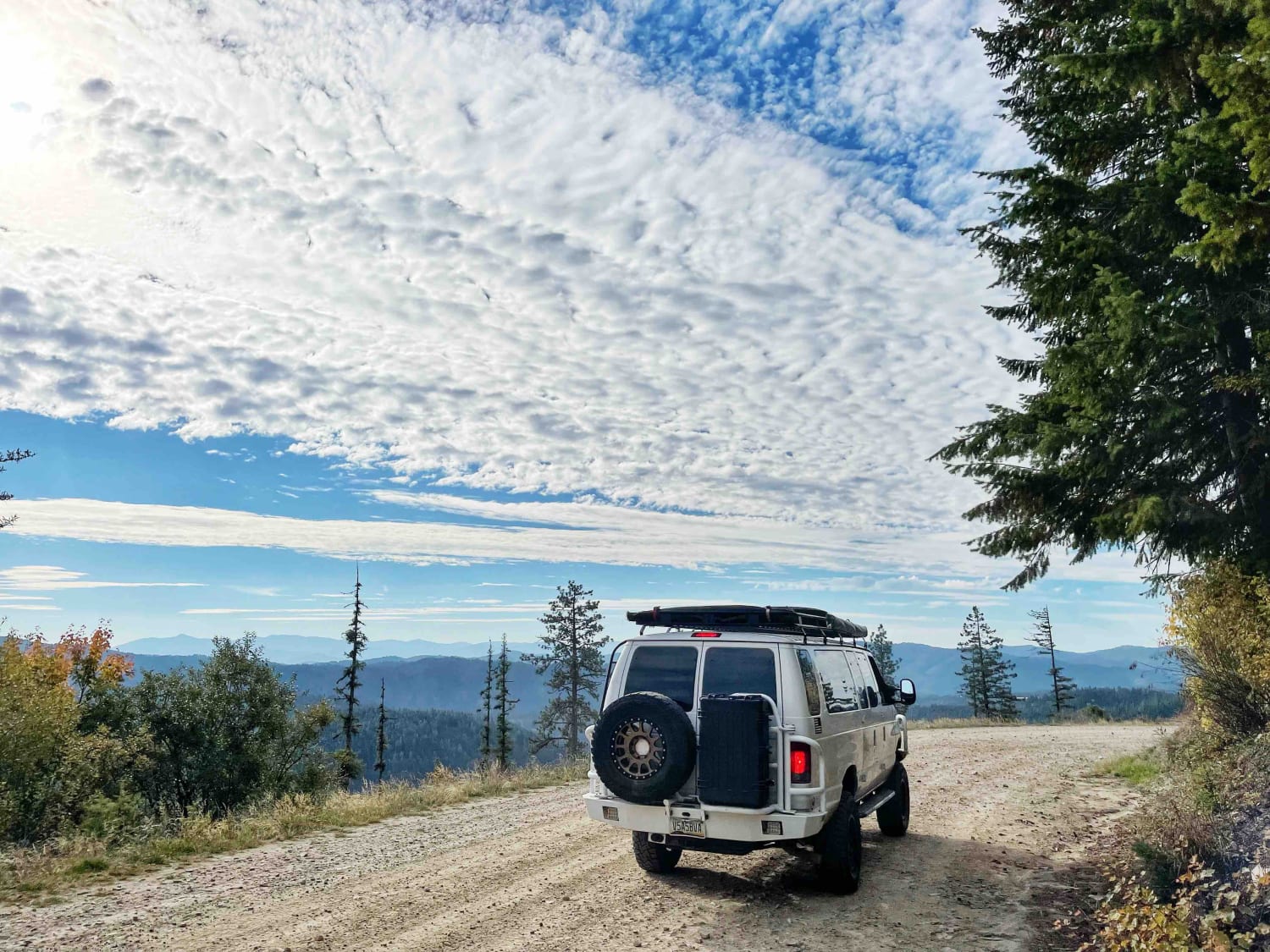
Blue Ridge Views
Total Miles
2.4
Tech Rating
Easy
Best Time
Fall, Summer, Spring
Learn more about Boise National Forest #254 McCann Trail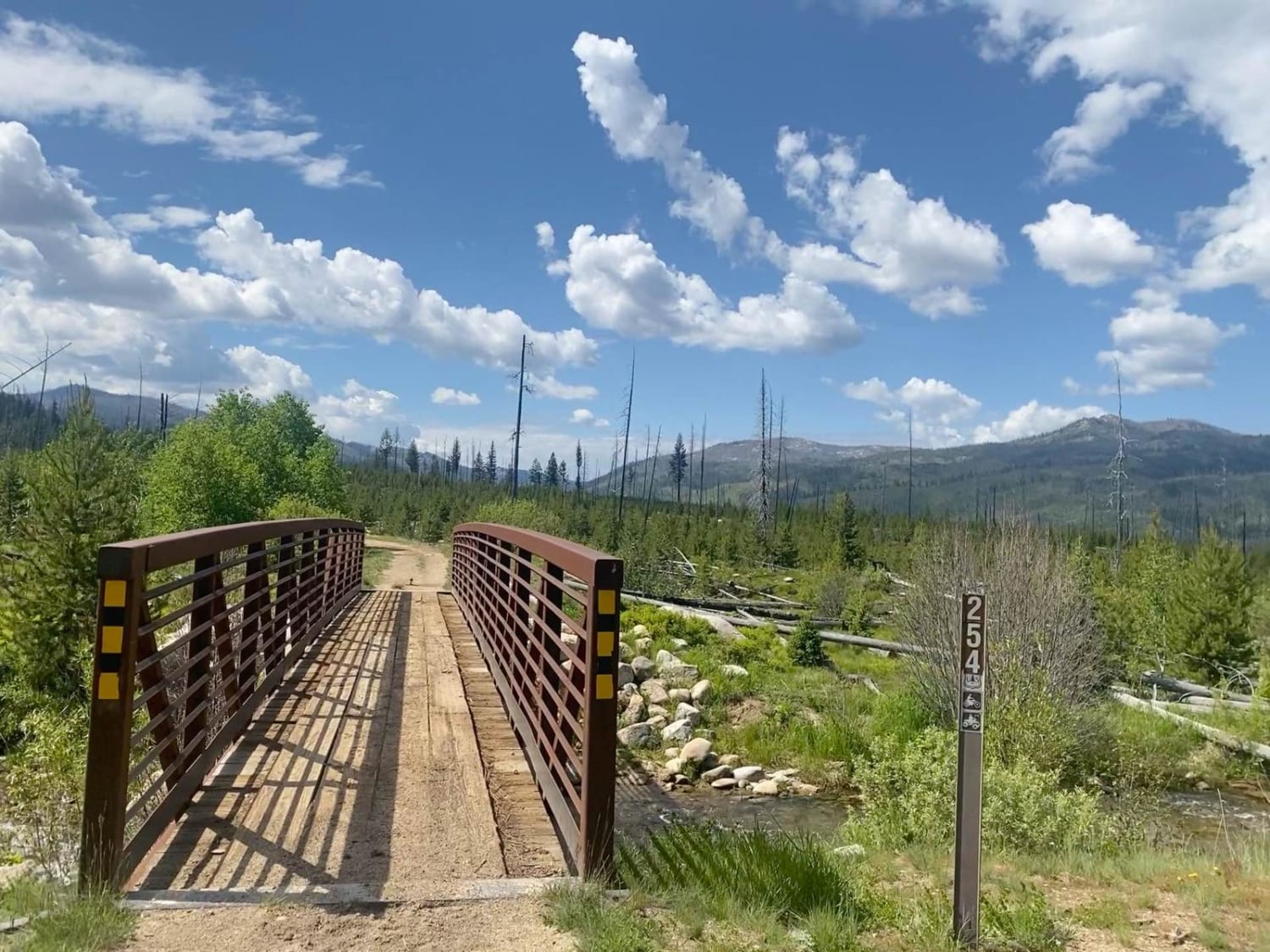
Boise National Forest #254 McCann Trail
Total Miles
8.0
Tech Rating
Moderate
Best Time
Summer
Learn more about Bone to Caribou Loop 
Bone to Caribou Loop
Total Miles
22.8
Tech Rating
Easy
Best Time
Spring, Summer, Fall
ATV trails in Idaho
Learn more about Aspen Range - Middle Sulphur #5248 
Aspen Range - Middle Sulphur #5248
Total Miles
1.9
Tech Rating
Easy
Best Time
Summer, Fall
Learn more about Dry Fork - Meadow Springs #5226 
Dry Fork - Meadow Springs #5226
Total Miles
0.4
Tech Rating
Easy
Best Time
Summer, Fall
Learn more about South Foothill Road
South Foothill Road
Total Miles
8.2
Tech Rating
Moderate
Best Time
Summer, Fall

UTV/side-by-side trails in Idaho
Learn more about South Foothill Road
South Foothill Road
Total Miles
8.2
Tech Rating
Moderate
Best Time
Summer, Fall

Learn more about 21 To Nip & Tuck
21 To Nip & Tuck
Total Miles
1.4
Tech Rating
Easy
Best Time
Fall, Summer, Spring

The onX Offroad Difference
onX Offroad combines trail photos, descriptions, difficulty ratings, width restrictions, seasonality, and more in a user-friendly interface. Available on all devices, with offline access and full compatibility with CarPlay and Android Auto. Discover what you’re missing today!