Boundary Point
Total Miles
1.3
Technical Rating
Best Time
Summer, Fall
Trail Type
50" Trail
Accessible By
Trail Overview
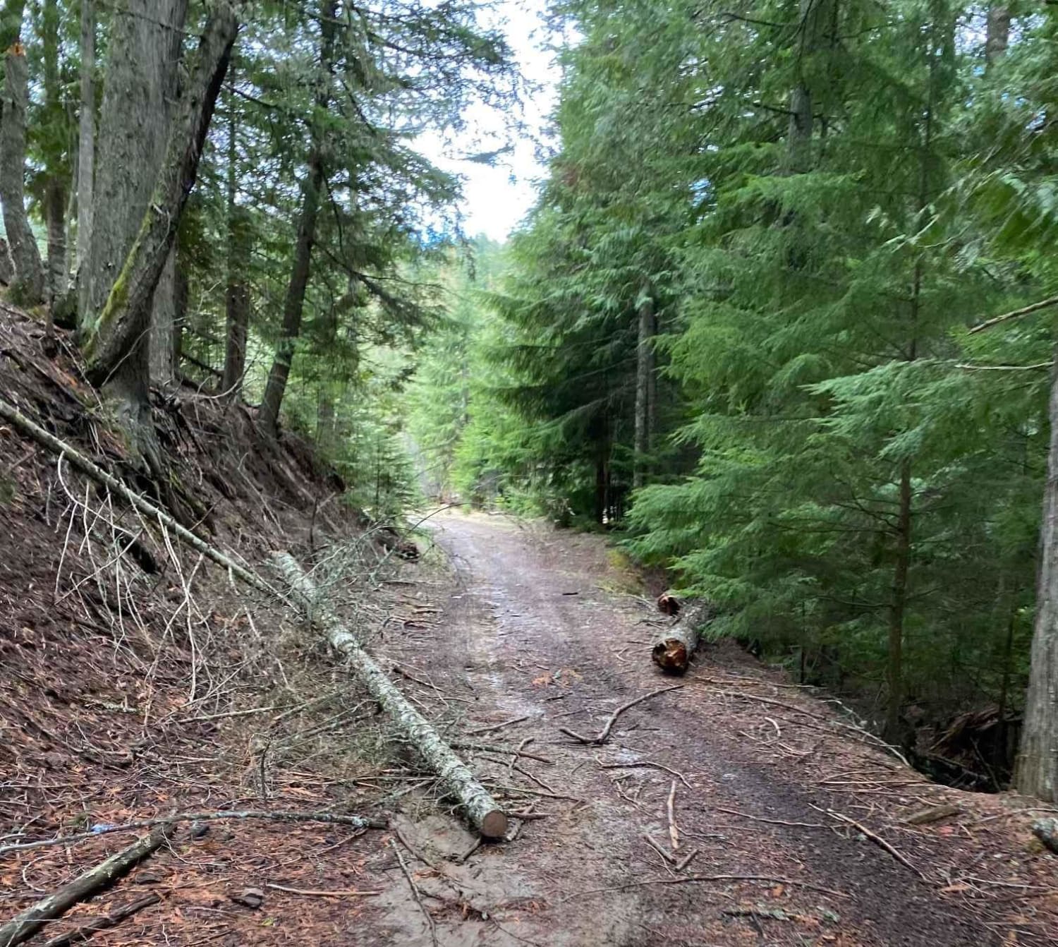
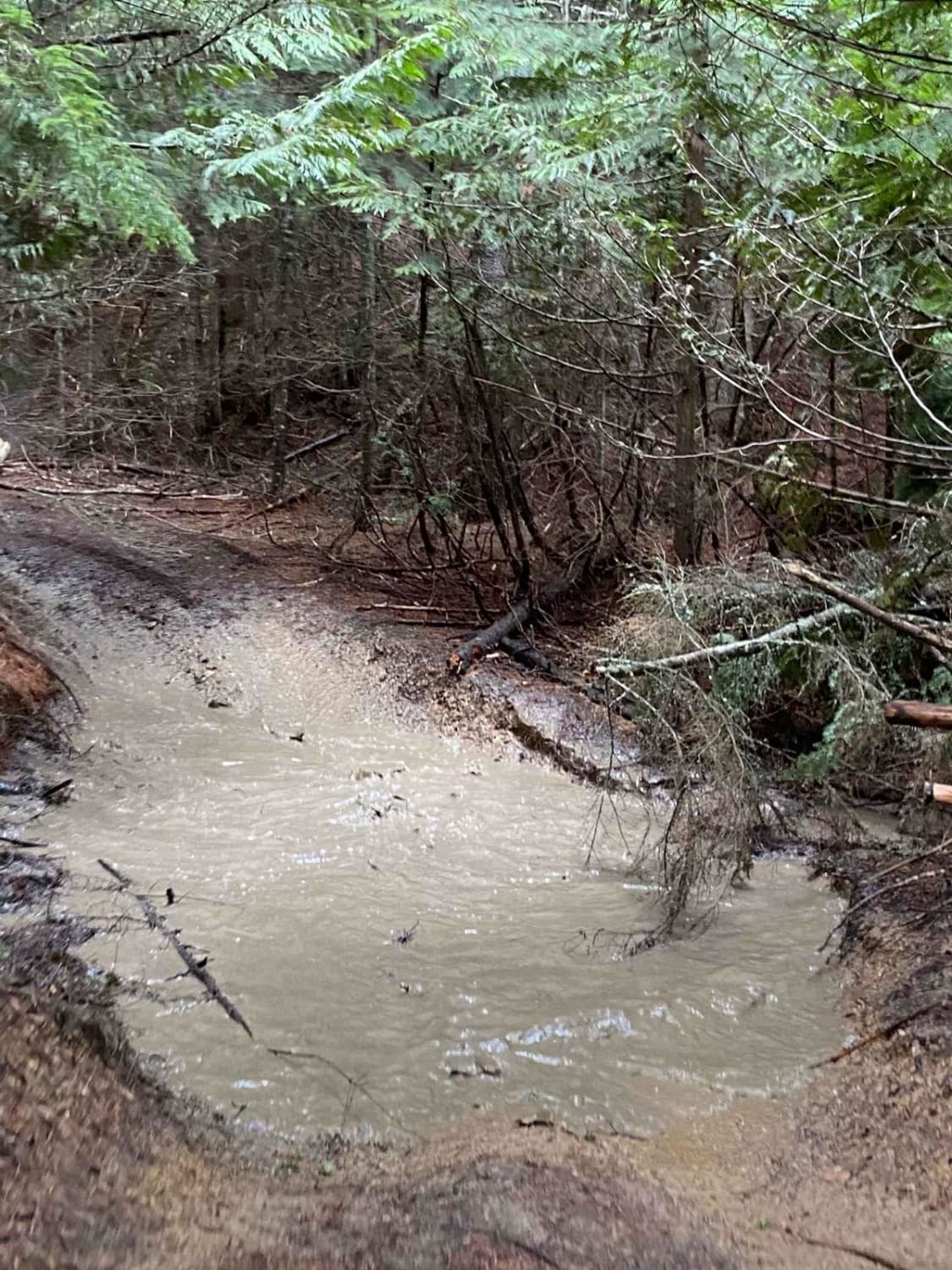
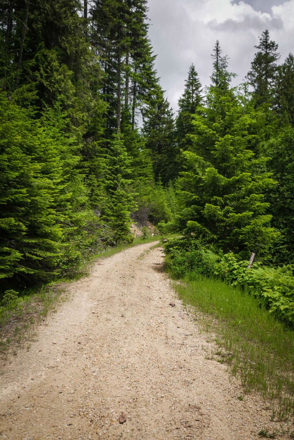
This trail runs through timbered areas, with a good portion running through thick darker timbered areas making for a neat experience. This trail is not highly maintained so there is a fair amount of brush on either side of the trail in some portions. Expect to cross over and under blown-down trees. There are some deep water crossings and depending on the time of year and weather it can get muddy. This trail connects on each end to different trails in the Ruby Creek trail area - part of the Forest Service Palouse OHV trail system.
Photos of Boundary Point
Difficulty
The trail is relatively easy, but there are some tight corners and narrow sections. Be aware of water bars, kelley humps, and mud. There may be blowdowns and brush in the trail depending on the time of year.
Status Reports
Boundary Point can be accessed by the following ride types:
- ATV (50")
- Dirt Bike
Boundary Point Map
Popular Trails
Excavation Gulch No. 27

FS 536-Keating Ridge Road
Shoshone Ridge (602)
Hill 36 OHV - 3598
The onX Offroad Difference
onX Offroad combines trail photos, descriptions, difficulty ratings, width restrictions, seasonality, and more in a user-friendly interface. Available on all devices, with offline access and full compatibility with CarPlay and Android Auto. Discover what you’re missing today!