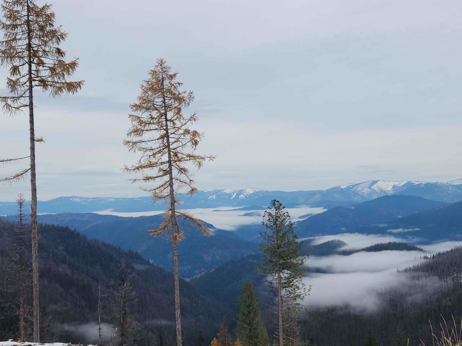
Off-Road Trails in Idaho
Discover off-road trails in Idaho
Learn more about Cheatbeck #3350 
Cheatbeck #3350
Total Miles
1.4
Tech Rating
Moderate
Best Time
Summer, Fall
Learn more about Chelsey Creek - FS 1960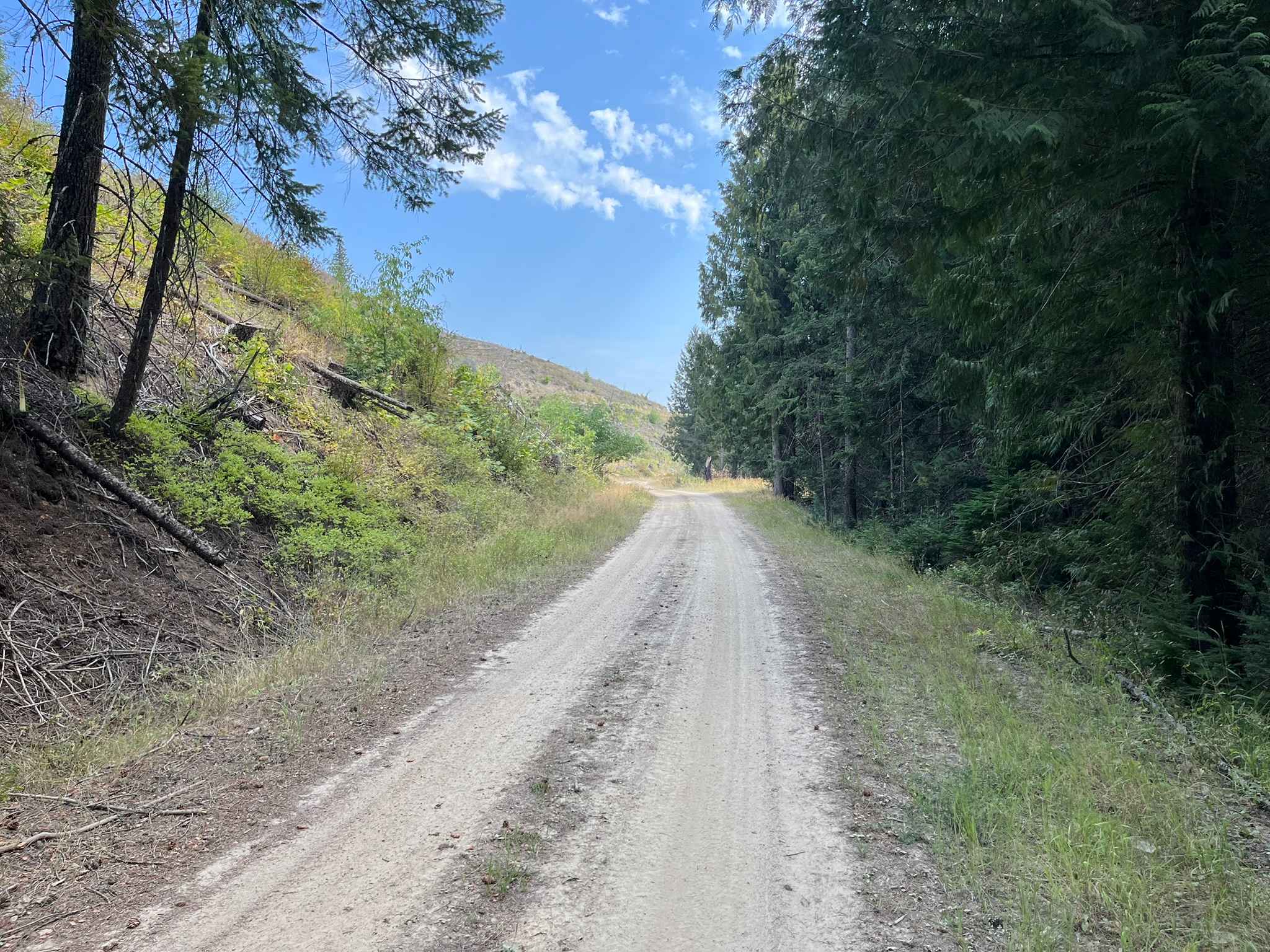
Chelsey Creek - FS 1960
Total Miles
6.3
Tech Rating
Easy
Best Time
Spring, Summer, Fall, Winter
Learn more about Cherry Butte Lower Road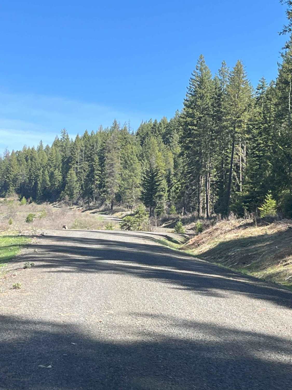
Cherry Butte Lower Road
Total Miles
2.8
Tech Rating
Easy
Best Time
Summer, Spring, Fall
Learn more about Chesley Creek Trail 19
Chesley Creek Trail 19
Total Miles
2.9
Tech Rating
Easy
Best Time
Summer, Fall
Learn more about Chimney Gulch to Mammoth Canyon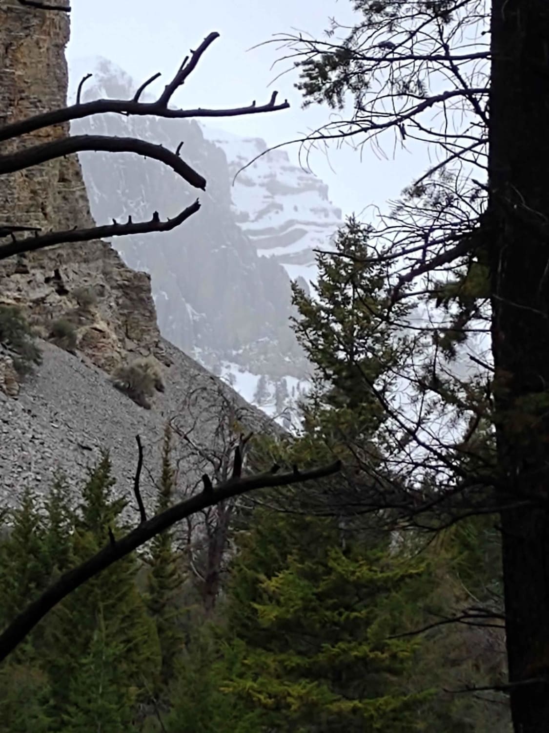
Chimney Gulch to Mammoth Canyon
Total Miles
5.8
Tech Rating
Easy
Best Time
Spring, Summer, Fall
Learn more about China Basin Scenic Bypass
China Basin Scenic Bypass
Total Miles
9.8
Tech Rating
Moderate
Best Time
Spring, Summer, Fall
Learn more about Church Hollow Trail
Church Hollow Trail
Total Miles
3.1
Tech Rating
Moderate
Best Time
Spring, Summer, Fall
Learn more about City of Rocks/Twin Sisters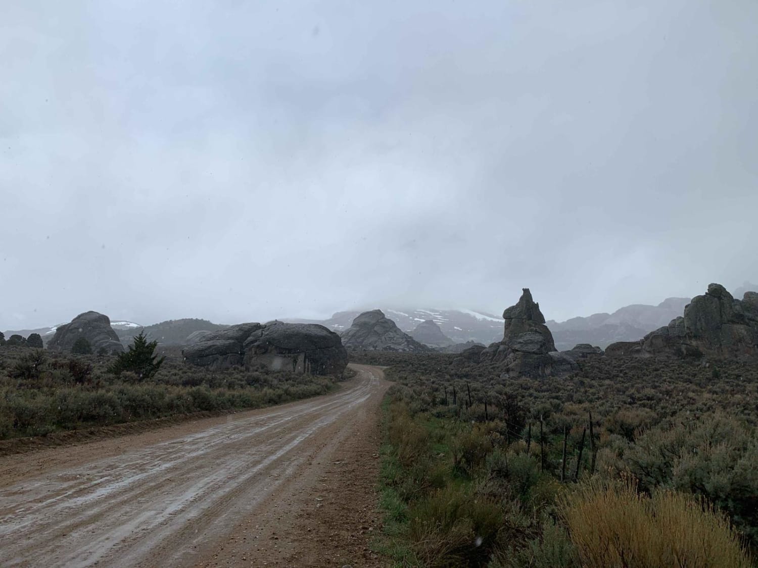
City of Rocks/Twin Sisters
Total Miles
7.2
Tech Rating
Easy
Best Time
Spring, Fall, Winter
Learn more about Civil Defense Cave
Civil Defense Cave
Total Miles
4.8
Tech Rating
Easy
Best Time
Spring, Summer, Fall

Learn more about Clayburn Creek East
Clayburn Creek East
Total Miles
1.6
Tech Rating
Difficult
Best Time
Summer, Fall
Learn more about Clayburn Creek West
Clayburn Creek West
Total Miles
2.4
Tech Rating
Easy
Best Time
Summer, Fall
Learn more about Clearcuts to Bob's Creek Road
Clearcuts to Bob's Creek Road
Total Miles
4.2
Tech Rating
Easy
Best Time
Spring, Summer, Fall
Learn more about Clifton Basin to Weston Peak ATV 7433 (Part 1)
Clifton Basin to Weston Peak ATV 7433 (Part 1)
Total Miles
2.2
Tech Rating
Easy
Best Time
Fall, Summer, Spring
Learn more about Clifton Basin to Weston Peak ATV 7433 (Part 2)
Clifton Basin to Weston Peak ATV 7433 (Part 2)
Total Miles
0.3
Tech Rating
Moderate
Best Time
Fall, Summer, Spring
Learn more about Clifton Basin to Weston Peak Single Track - 7433 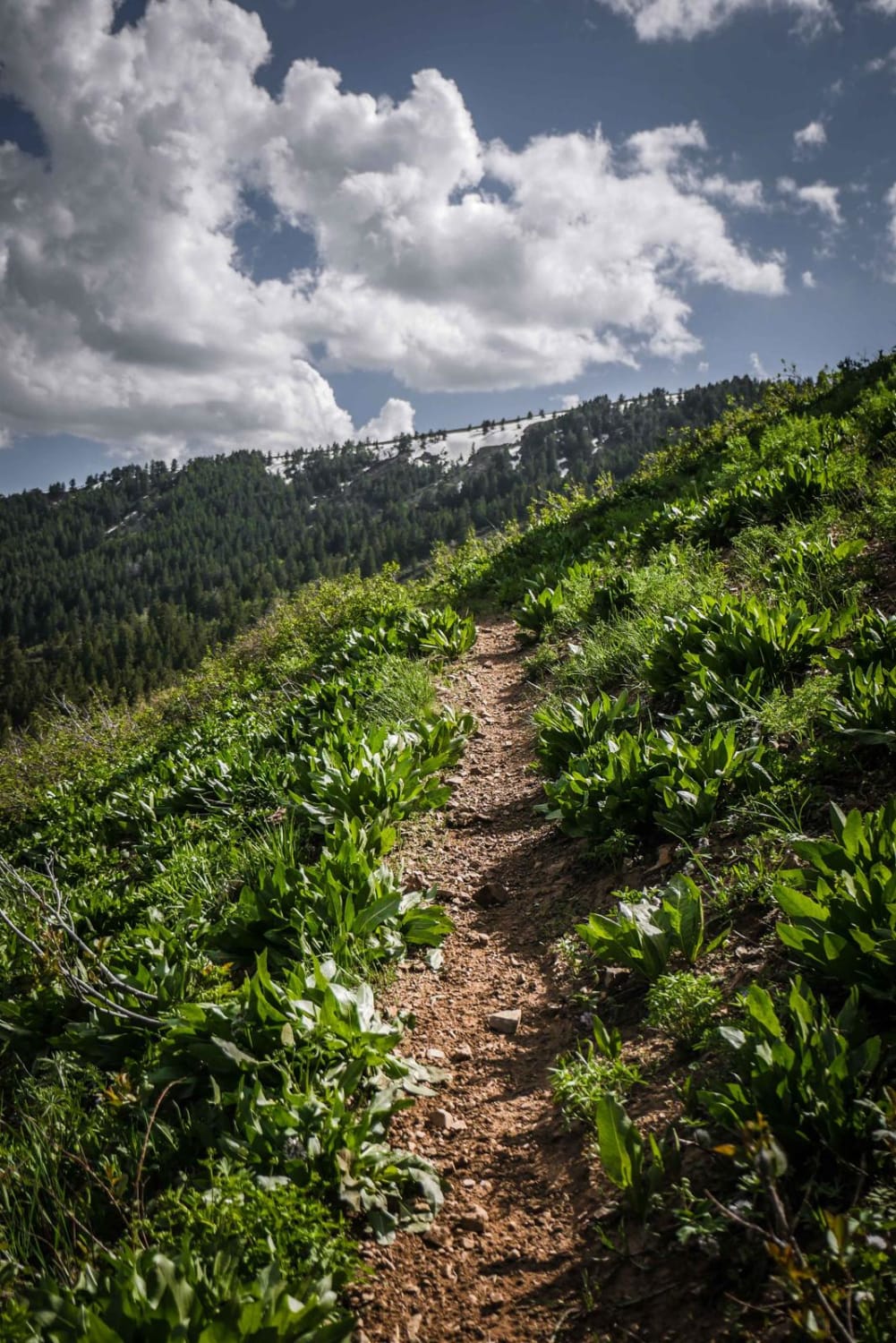
Clifton Basin to Weston Peak Single Track - 7433
Total Miles
0.5
Tech Rating
Easy
Best Time
Fall, Summer, Spring
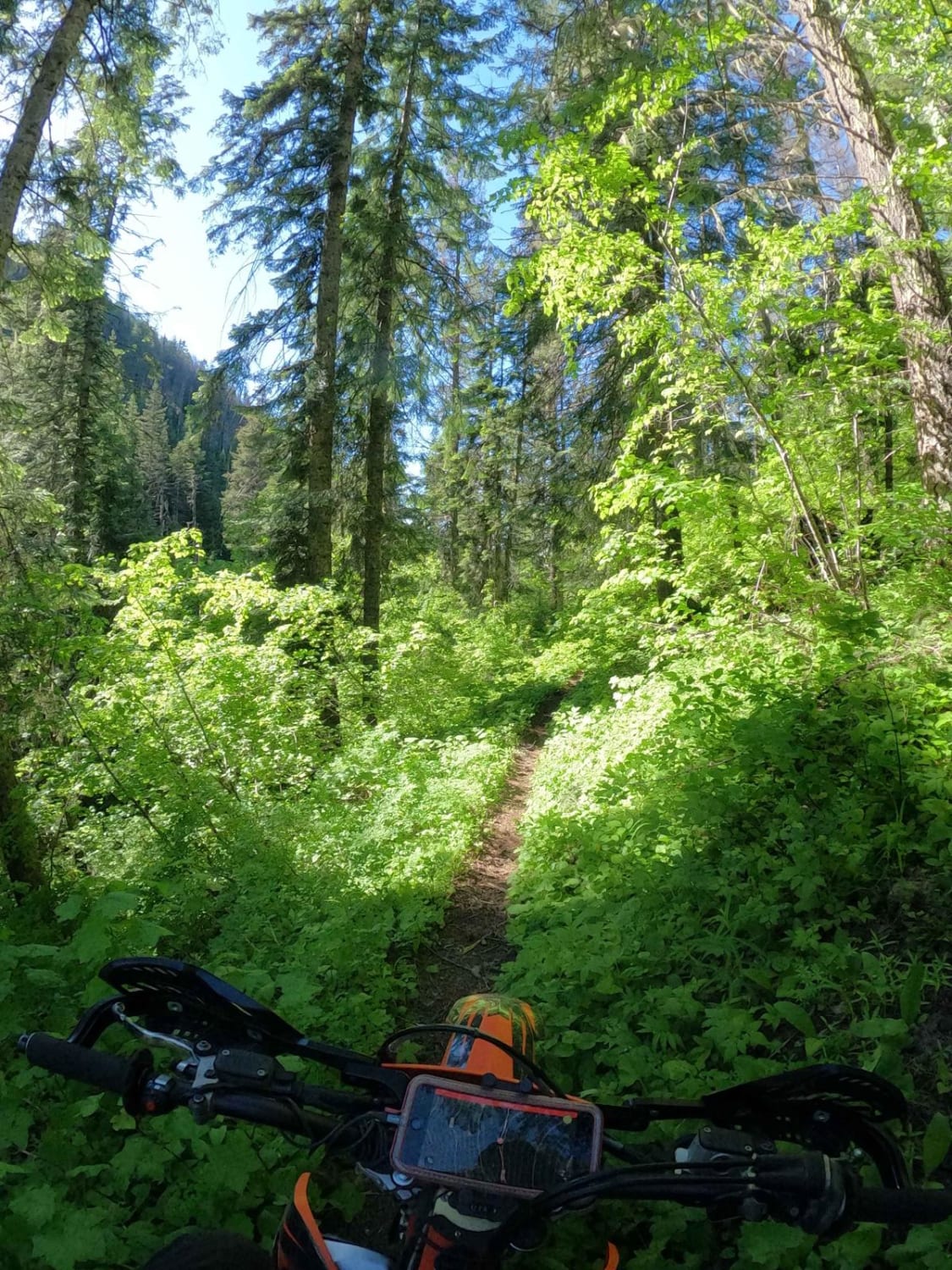
ATV trails in Idaho
Learn more about Aspen Range - Middle Sulphur #5248 
Aspen Range - Middle Sulphur #5248
Total Miles
1.9
Tech Rating
Easy
Best Time
Summer, Fall
Learn more about Dry Fork - Meadow Springs #5226 
Dry Fork - Meadow Springs #5226
Total Miles
0.4
Tech Rating
Easy
Best Time
Summer, Fall
Learn more about South Foothill Road
South Foothill Road
Total Miles
8.2
Tech Rating
Moderate
Best Time
Summer, Fall

UTV/side-by-side trails in Idaho
Learn more about South Foothill Road
South Foothill Road
Total Miles
8.2
Tech Rating
Moderate
Best Time
Summer, Fall

Learn more about 21 To Nip & Tuck
21 To Nip & Tuck
Total Miles
1.4
Tech Rating
Easy
Best Time
Fall, Summer, Spring

The onX Offroad Difference
onX Offroad combines trail photos, descriptions, difficulty ratings, width restrictions, seasonality, and more in a user-friendly interface. Available on all devices, with offline access and full compatibility with CarPlay and Android Auto. Discover what you’re missing today!