Off-Road Trails in Idaho
Discover off-road trails in Idaho
Learn more about Dry Gulch Bypass OHV
Dry Gulch Bypass OHV
Total Miles
1.2
Tech Rating
Easy
Best Time
Spring, Summer, Fall
Learn more about Dry State OHV 
Dry State OHV
Total Miles
2.7
Tech Rating
Easy
Best Time
Spring, Summer, Fall
Learn more about Dutchler Mountain
Dutchler Mountain
Total Miles
8.0
Tech Rating
Easy
Best Time
Summer, Fall, Spring
Learn more about Eagle Creek - FS 35001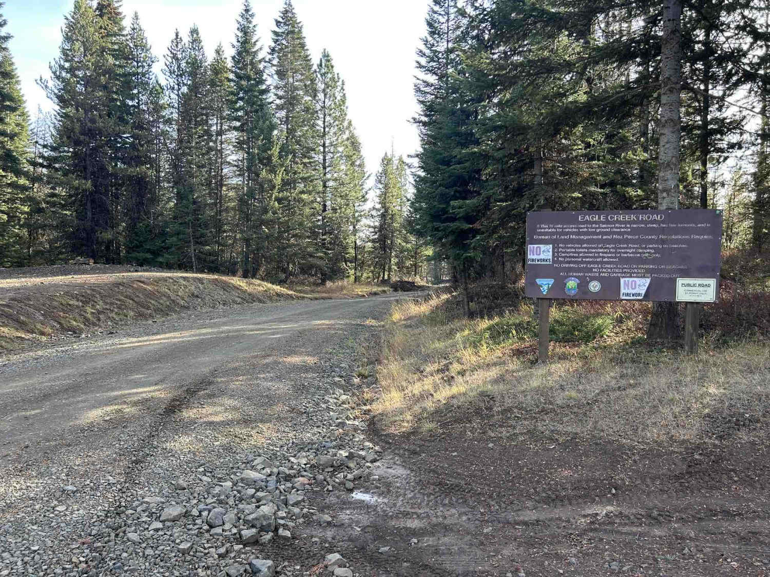
Eagle Creek - FS 35001
Total Miles
17.0
Tech Rating
Easy
Best Time
Spring, Summer, Fall
Learn more about Ear Creek Road 
Ear Creek Road
Total Miles
8.7
Tech Rating
Easy
Best Time
Spring, Summer, Fall
Learn more about Easley Warm Springs
Easley Warm Springs
Total Miles
0.6
Tech Rating
Easy
Best Time
Summer, Spring
Learn more about East 2200 North
East 2200 North
Total Miles
8.4
Tech Rating
Easy
Best Time
Spring, Summer, Fall

Learn more about East Basin Lake 
East Basin Lake
Total Miles
0.6
Tech Rating
Moderate
Best Time
Summer, Fall
Learn more about East Boundary (More Difficult)
East Boundary (More Difficult)
Total Miles
0.5
Tech Rating
Moderate
Best Time
Spring, Fall
Learn more about East Declaration Trail #416
East Declaration Trail #416
Total Miles
3.4
Tech Rating
Moderate
Best Time
Spring, Summer, Fall
Learn more about East Dry Pole Canyon
East Dry Pole Canyon
Total Miles
3.9
Tech Rating
Easy
Best Time
Spring, Summer, Fall
Learn more about East Fork Big Bear Creek
East Fork Big Bear Creek
Total Miles
5.6
Tech Rating
Easy
Best Time
Spring, Summer, Fall
Learn more about East Fork Big Creek
East Fork Big Creek
Total Miles
5.1
Tech Rating
Moderate
Best Time
Summer, Fall
Learn more about East Fork Dry Creek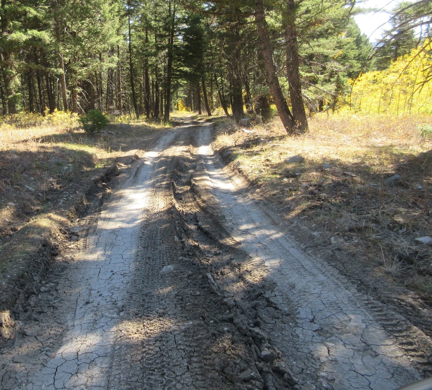
East Fork Dry Creek
Total Miles
5.3
Tech Rating
Easy
Best Time
Spring, Summer, Fall
Learn more about East Fork Gold Creek Trail 763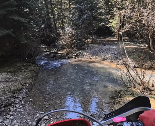
East Fork Gold Creek Trail 763
Total Miles
1.7
Tech Rating
Moderate
Best Time
Summer
ATV trails in Idaho
Learn more about Aspen Range - Middle Sulphur #5248 
Aspen Range - Middle Sulphur #5248
Total Miles
1.9
Tech Rating
Easy
Best Time
Summer, Fall
Learn more about Dry Fork - Meadow Springs #5226 
Dry Fork - Meadow Springs #5226
Total Miles
0.4
Tech Rating
Easy
Best Time
Summer, Fall
Learn more about South Foothill Road
South Foothill Road
Total Miles
8.2
Tech Rating
Moderate
Best Time
Summer, Fall

UTV/side-by-side trails in Idaho
Learn more about South Foothill Road
South Foothill Road
Total Miles
8.2
Tech Rating
Moderate
Best Time
Summer, Fall

Learn more about 21 To Nip & Tuck
21 To Nip & Tuck
Total Miles
1.4
Tech Rating
Easy
Best Time
Fall, Summer, Spring

The onX Offroad Difference
onX Offroad combines trail photos, descriptions, difficulty ratings, width restrictions, seasonality, and more in a user-friendly interface. Available on all devices, with offline access and full compatibility with CarPlay and Android Auto. Discover what you’re missing today!