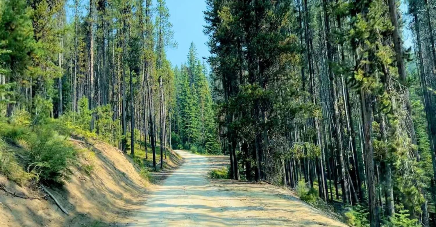
Off-Road Trails in Idaho
Discover off-road trails in Idaho
Learn more about Cottonwood Rd 50199
Cottonwood Rd 50199
Total Miles
13.8
Tech Rating
Easy
Best Time
Spring, Summer, Fall
Learn more about Cow Creek Shortcut 
Cow Creek Shortcut
Total Miles
0.5
Tech Rating
Easy
Best Time
Spring, Summer, Fall
Learn more about Cow Fork Bench #3373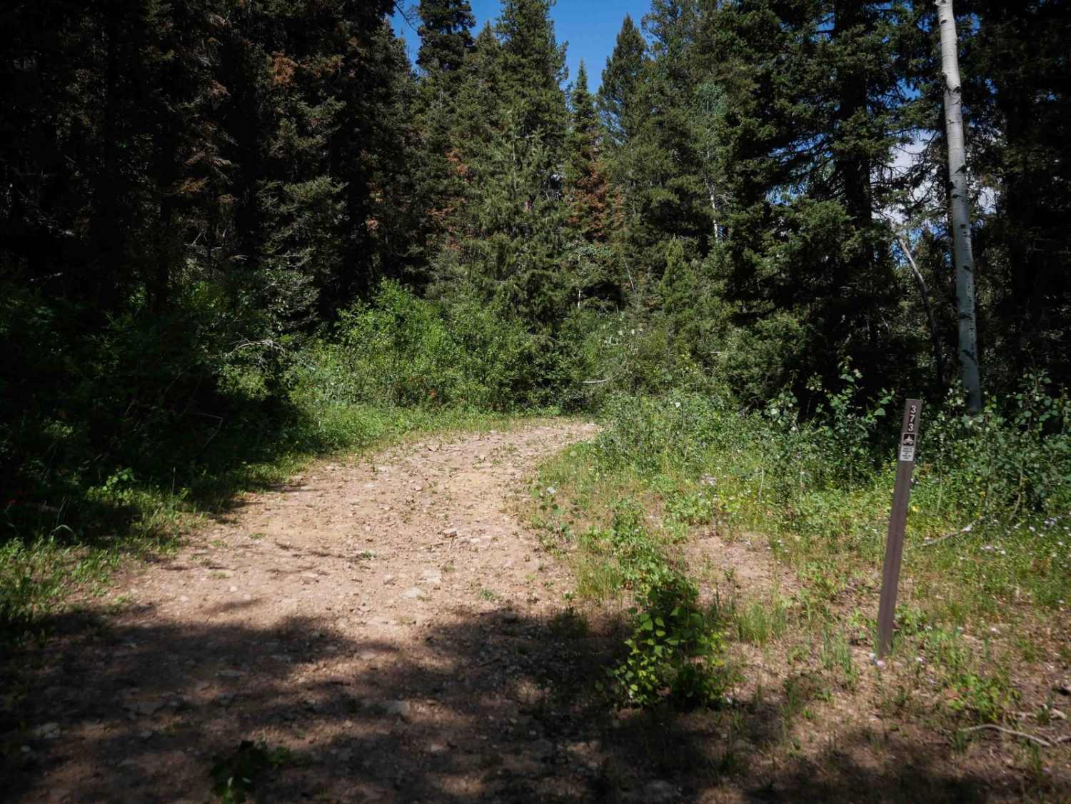
Cow Fork Bench #3373
Total Miles
1.4
Tech Rating
Easy
Best Time
Summer, Fall
Learn more about Cow Lane Bypass
Cow Lane Bypass
Total Miles
4.8
Tech Rating
Moderate
Best Time
Fall, Summer, Spring
Learn more about Coyote Creek #5122
Coyote Creek #5122
Total Miles
2.1
Tech Rating
Moderate
Best Time
Summer, Fall
Learn more about Crane Point/FS 1273
Crane Point/FS 1273
Total Miles
3.7
Tech Rating
Easy
Best Time
Summer, Fall, Spring
Learn more about Cranes Flat Cutoff
Cranes Flat Cutoff
Total Miles
12.2
Tech Rating
Easy
Best Time
Summer, Fall, Spring
Learn more about Cranky Gulch 
Cranky Gulch
Total Miles
3.4
Tech Rating
Easy
Best Time
Fall, Summer, Spring

Learn more about Crestline trail - Bell Marsh Creek
Crestline trail - Bell Marsh Creek
Total Miles
20.8
Tech Rating
Moderate
Best Time
Fall
Learn more about Crooked Ridge - FS 258
Crooked Ridge - FS 258
Total Miles
7.7
Tech Rating
Easy
Best Time
Spring, Summer, Fall
Learn more about Crosscut South
Crosscut South
Total Miles
11.3
Tech Rating
Difficult
Best Time
Spring, Summer, Fall
Learn more about Crutcher's Crossing Cherrystem
Crutcher's Crossing Cherrystem
Total Miles
9.8
Tech Rating
Moderate
Best Time
Fall
Learn more about Crutchers Crossing North
Crutchers Crossing North
Total Miles
7.0
Tech Rating
Moderate
Best Time
Fall
Learn more about Crutchers Crossing South 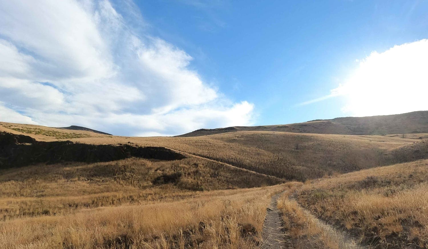
Crutchers Crossing South
Total Miles
3.4
Tech Rating
Easy
Best Time
Fall
Learn more about Custer Motorway (aka Yankee Fork Road)
Custer Motorway (aka Yankee Fork Road)
Total Miles
42.8
Tech Rating
Easy
Best Time
Summer
ATV trails in Idaho
Learn more about Aspen Range - Middle Sulphur #5248 
Aspen Range - Middle Sulphur #5248
Total Miles
1.9
Tech Rating
Easy
Best Time
Summer, Fall
Learn more about Dry Fork - Meadow Springs #5226 
Dry Fork - Meadow Springs #5226
Total Miles
0.4
Tech Rating
Easy
Best Time
Summer, Fall
Learn more about South Foothill Road
South Foothill Road
Total Miles
8.2
Tech Rating
Moderate
Best Time
Summer, Fall

UTV/side-by-side trails in Idaho
Learn more about South Foothill Road
South Foothill Road
Total Miles
8.2
Tech Rating
Moderate
Best Time
Summer, Fall

Learn more about 21 To Nip & Tuck
21 To Nip & Tuck
Total Miles
1.4
Tech Rating
Easy
Best Time
Fall, Summer, Spring

The onX Offroad Difference
onX Offroad combines trail photos, descriptions, difficulty ratings, width restrictions, seasonality, and more in a user-friendly interface. Available on all devices, with offline access and full compatibility with CarPlay and Android Auto. Discover what you’re missing today!