Danskins #317
Total Miles
14.2
Technical Rating
Best Time
Spring, Fall
Trail Type
50" Trail
Accessible By
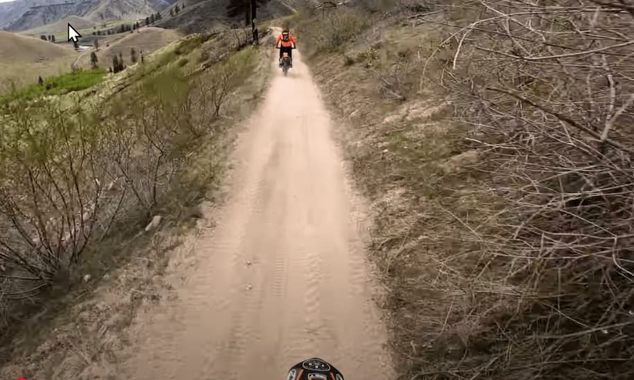
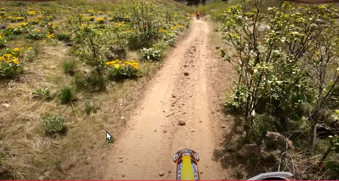
Trail Overview
Danskins trail #317 is a fairly easy ATV and Motorcycle trail that leads out to spectacular views of the Boise River canyon on the far east side of the Danskins OHV area. It is two-track and composed of a lot of varying terrain, such as sand, dirt, rocks, stream crossings, exposed mountain sides, and some overhanging brush. The trail is two-way, so caution is needed when entering blind corners, etc. The trail goes up to about 4,400 feet elevation and has many places to stop and take pictures.
Photos of Danskins #317
Difficulty
317 is a well traveled two track for ATV and Motorcycles, with some exposure and a fairly deep creek crossing which is all fairly easy.
Status Reports
Danskins #317 can be accessed by the following ride types:
- ATV (50")
- Dirt Bike
Danskins #317 Map
Popular Trails

Rainbow Creek ATV

Civil Defense Cave
The onX Offroad Difference
onX Offroad combines trail photos, descriptions, difficulty ratings, width restrictions, seasonality, and more in a user-friendly interface. Available on all devices, with offline access and full compatibility with CarPlay and Android Auto. Discover what you’re missing today!