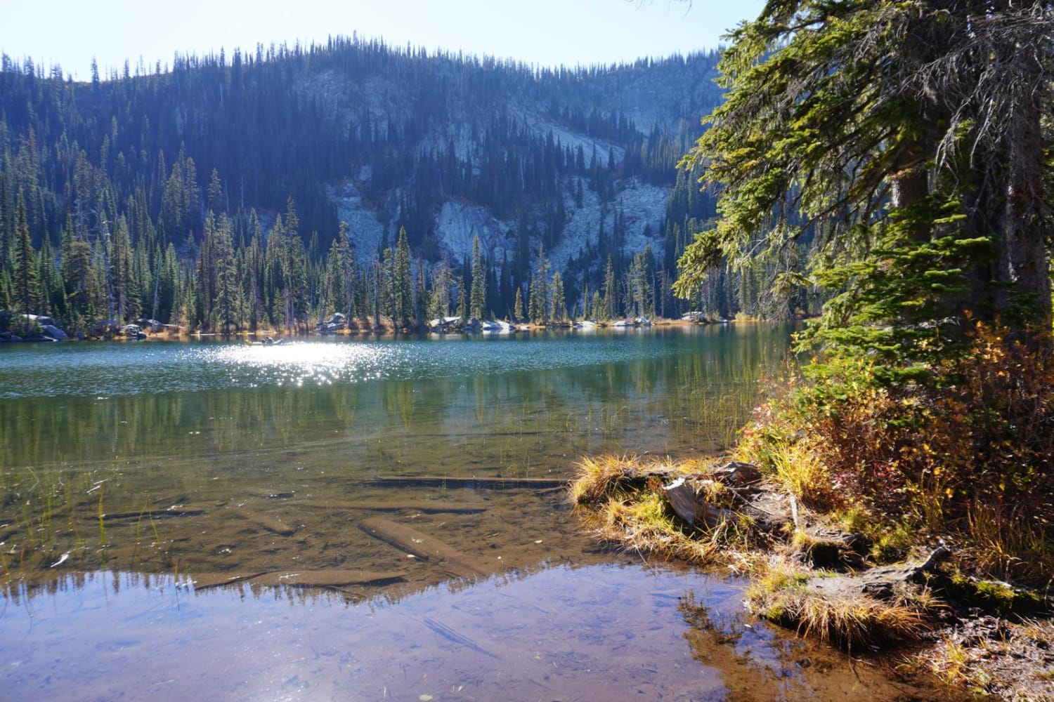
Off-Road Trails in Idaho
Discover off-road trails in Idaho
Learn more about Cold Spring Summit View #5211 
Cold Spring Summit View #5211
Total Miles
1.4
Tech Rating
Easy
Best Time
Summer, Fall
Learn more about Cold Springs ATV Loop #5208 
Cold Springs ATV Loop #5208
Total Miles
0.8
Tech Rating
Easy
Best Time
Summer, Fall
Learn more about Cold Springs/Upper Dry Valley #5206
Cold Springs/Upper Dry Valley #5206
Total Miles
2.1
Tech Rating
Easy
Best Time
Summer, Fall
Learn more about Collaboration
Collaboration
Total Miles
0.8
Tech Rating
Easy
Best Time
Winter, Fall, Summer, Spring
Learn more about Collapsed Lava Dome Trail
Collapsed Lava Dome Trail
Total Miles
6.0
Tech Rating
Easy
Best Time
Spring, Summer, Fall
Learn more about Connector track - FS 4782 to FS 381
Connector track - FS 4782 to FS 381
Total Miles
0.6
Tech Rating
Easy
Best Time
Summer, Fall
Learn more about Connector Trail to 381
Connector Trail to 381
Total Miles
0.7
Tech Rating
Easy
Best Time
Spring, Summer, Fall
Learn more about Contest Mountain- 2642
Contest Mountain- 2642
Total Miles
6.5
Tech Rating
Easy
Best Time
Spring, Summer, Fall
Learn more about Continental Divide National Scenic Trail (20001) (Partial)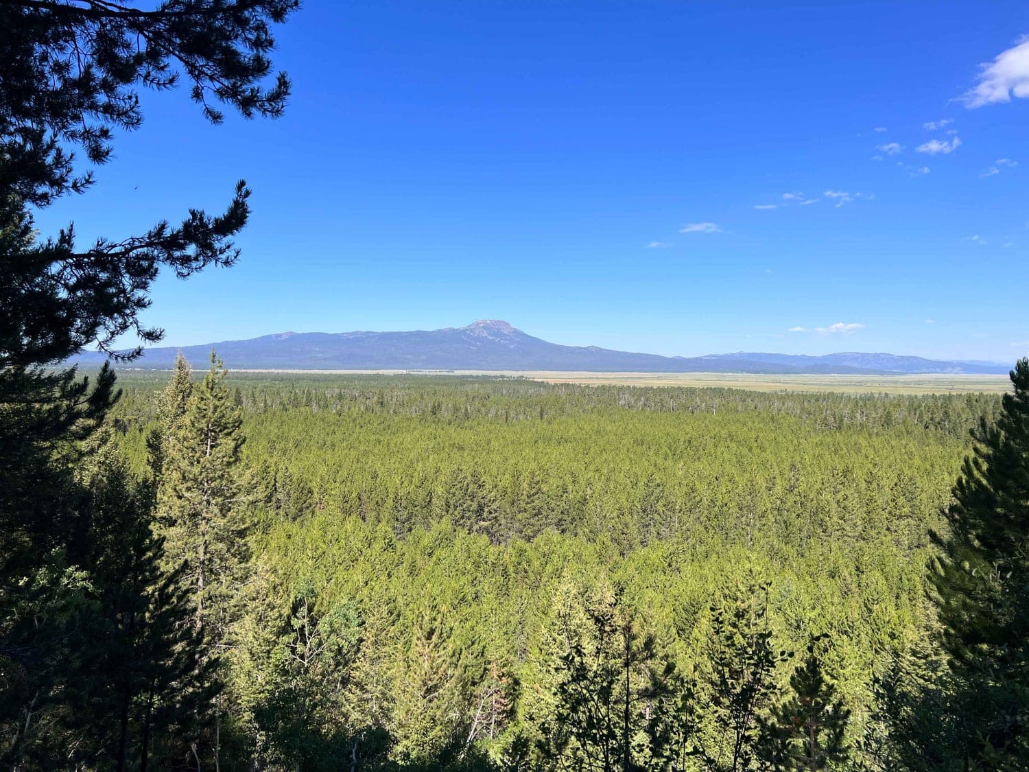
Continental Divide National Scenic Trail (20001) (Partial)
Total Miles
7.1
Tech Rating
Easy
Best Time
Spring, Summer, Fall
Learn more about Continental Divide NST 
Continental Divide NST
Total Miles
6.1
Tech Rating
Moderate
Best Time
Spring, Summer, Fall
Learn more about Coon Creek Trail (FDR 3300)
Coon Creek Trail (FDR 3300)
Total Miles
0.9
Tech Rating
Moderate
Best Time
Summer
Learn more about Cooper Pass Road to Burke Ghost Town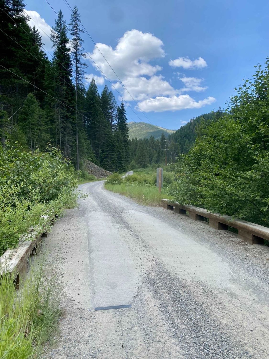
Cooper Pass Road to Burke Ghost Town
Total Miles
12.7
Tech Rating
Easy
Best Time
Summer, Fall
Learn more about Copper Falls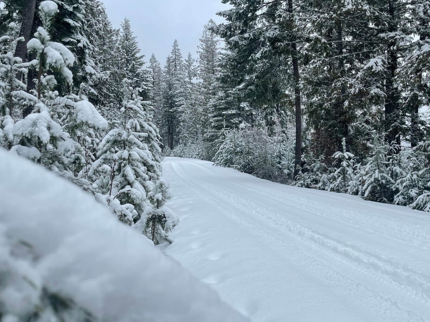
Copper Falls
Total Miles
20.6
Tech Rating
Easy
Best Time
Spring, Summer, Fall, Winter
Learn more about Copper Queen Mine Road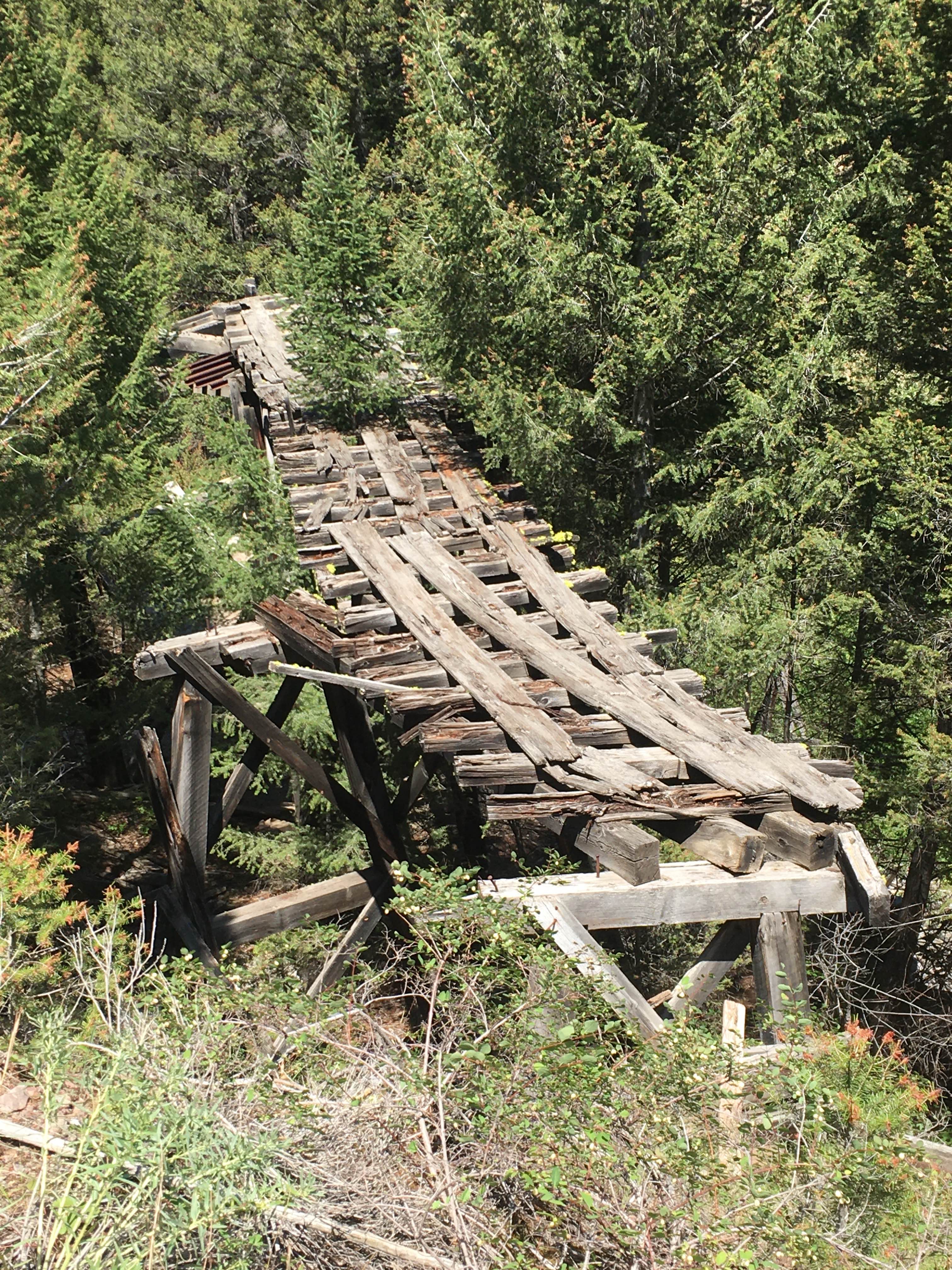
Copper Queen Mine Road
Total Miles
3.9
Tech Rating
Easy
Best Time
Spring, Summer, Fall
Learn more about Corral Creek Road - FS 177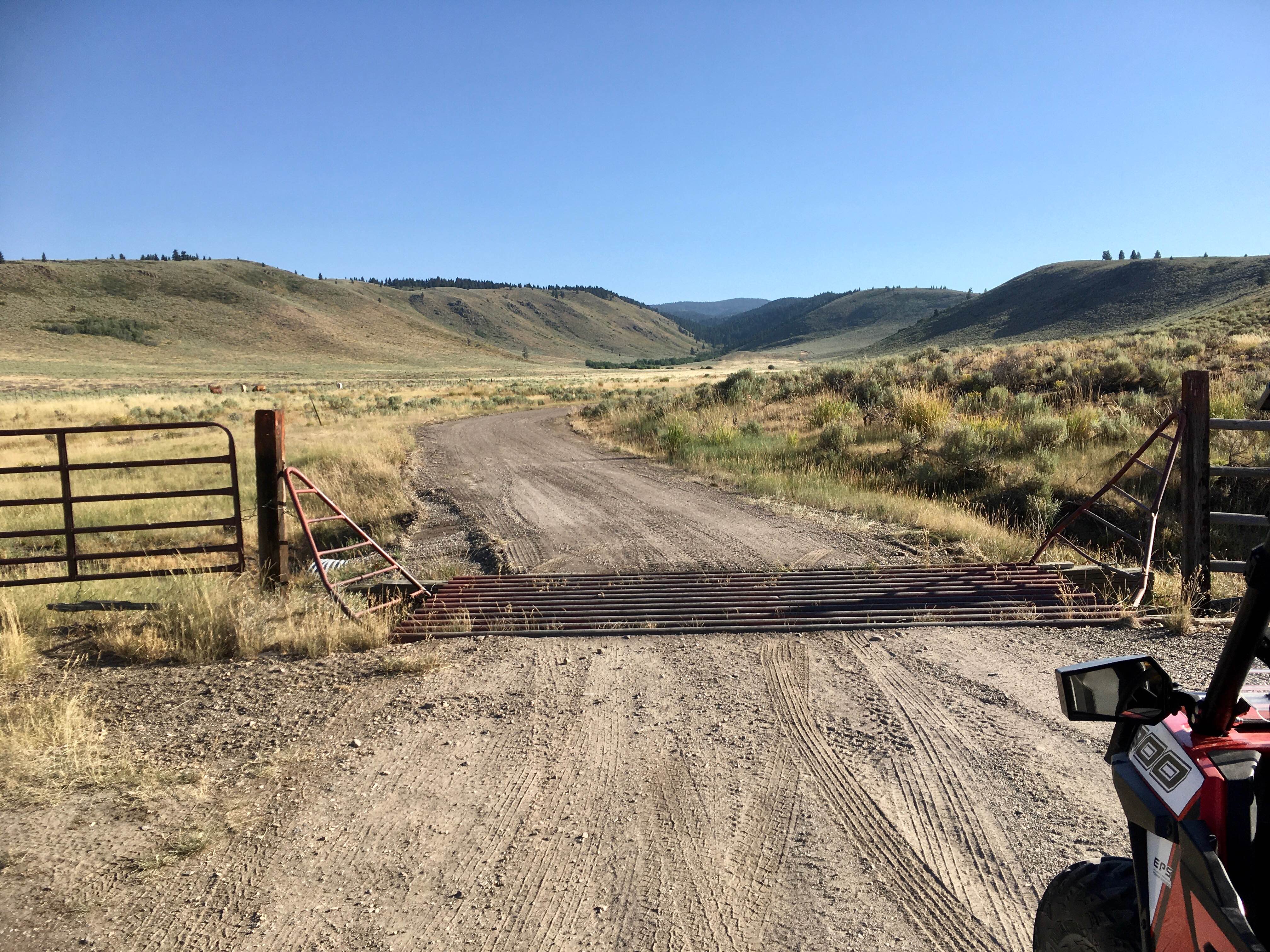
Corral Creek Road - FS 177
Total Miles
2.7
Tech Rating
Easy
Best Time
Spring, Summer, Fall
Learn more about Corrals ATV Trail 
Corrals ATV Trail
Total Miles
6.1
Tech Rating
Easy
Best Time
Fall, Summer, Spring
Learn more about Cotterel Mountain Road
Cotterel Mountain Road
Total Miles
17.5
Tech Rating
Easy
Best Time
Spring, Summer, Fall
Learn more about Cottontail Point Road
Cottontail Point Road
Total Miles
5.5
Tech Rating
Easy
Best Time
Summer, Fall
ATV trails in Idaho
Learn more about Aspen Range - Middle Sulphur #5248 
Aspen Range - Middle Sulphur #5248
Total Miles
1.9
Tech Rating
Easy
Best Time
Summer, Fall
Learn more about Dry Fork - Meadow Springs #5226 
Dry Fork - Meadow Springs #5226
Total Miles
0.4
Tech Rating
Easy
Best Time
Summer, Fall
Learn more about South Foothill Road
South Foothill Road
Total Miles
8.2
Tech Rating
Moderate
Best Time
Summer, Fall

UTV/side-by-side trails in Idaho
Learn more about South Foothill Road
South Foothill Road
Total Miles
8.2
Tech Rating
Moderate
Best Time
Summer, Fall

Learn more about 21 To Nip & Tuck
21 To Nip & Tuck
Total Miles
1.4
Tech Rating
Easy
Best Time
Fall, Summer, Spring

The onX Offroad Difference
onX Offroad combines trail photos, descriptions, difficulty ratings, width restrictions, seasonality, and more in a user-friendly interface. Available on all devices, with offline access and full compatibility with CarPlay and Android Auto. Discover what you’re missing today!