Collaboration
Total Miles
0.8
Technical Rating
Best Time
Winter, Fall, Summer, Spring
Trail Type
Single Track
Accessible By
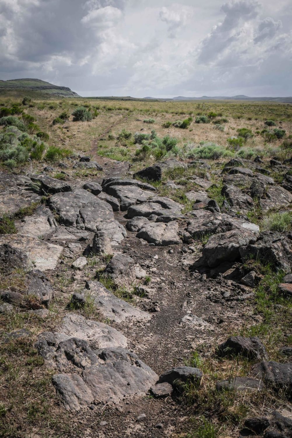
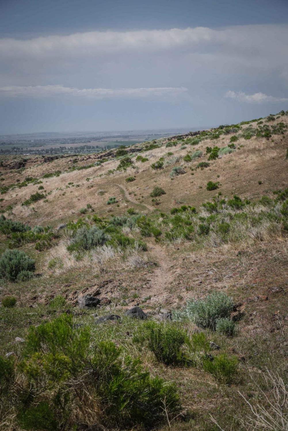
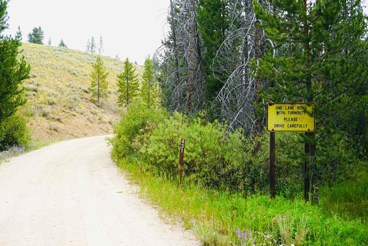
Trail Overview
This short single track connects Brennan to Lower Sugarloaf. From Brennan, it starts out faint and overgrown with grass. It goes above a ravine, then starts to switch back up a hillside in sage brush terrain. The switchbacks are wide and sweeping and not difficult. There are rocks on the side of the trail with white paint markings to help mark the trail since it is pretty faint. At the top of the hill it traverses over and turns left onto a wider trail that looks more like an old road with two tracks. There is one rockier section of big black rocks in the trail that is easy to get through. It ends at Lower Sugarloaf at an unmarked intersection. It is a short trail, but good for connecting trails in this trail system.
Photos of Collaboration
Difficulty
Overall this is a relatively easy trail with not many rocks in the trail and mostly smooth dirt.
Status Reports
Collaboration can be accessed by the following ride types:
- Dirt Bike
Collaboration Map
Popular Trails
Frank Heller Mine Trail
The onX Offroad Difference
onX Offroad combines trail photos, descriptions, difficulty ratings, width restrictions, seasonality, and more in a user-friendly interface. Available on all devices, with offline access and full compatibility with CarPlay and Android Auto. Discover what you’re missing today!